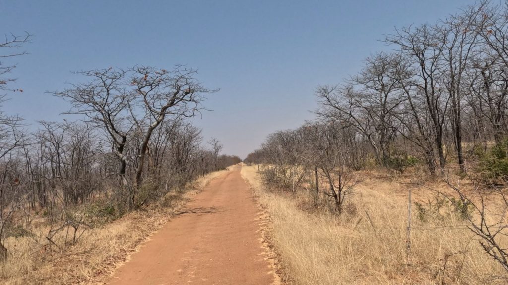
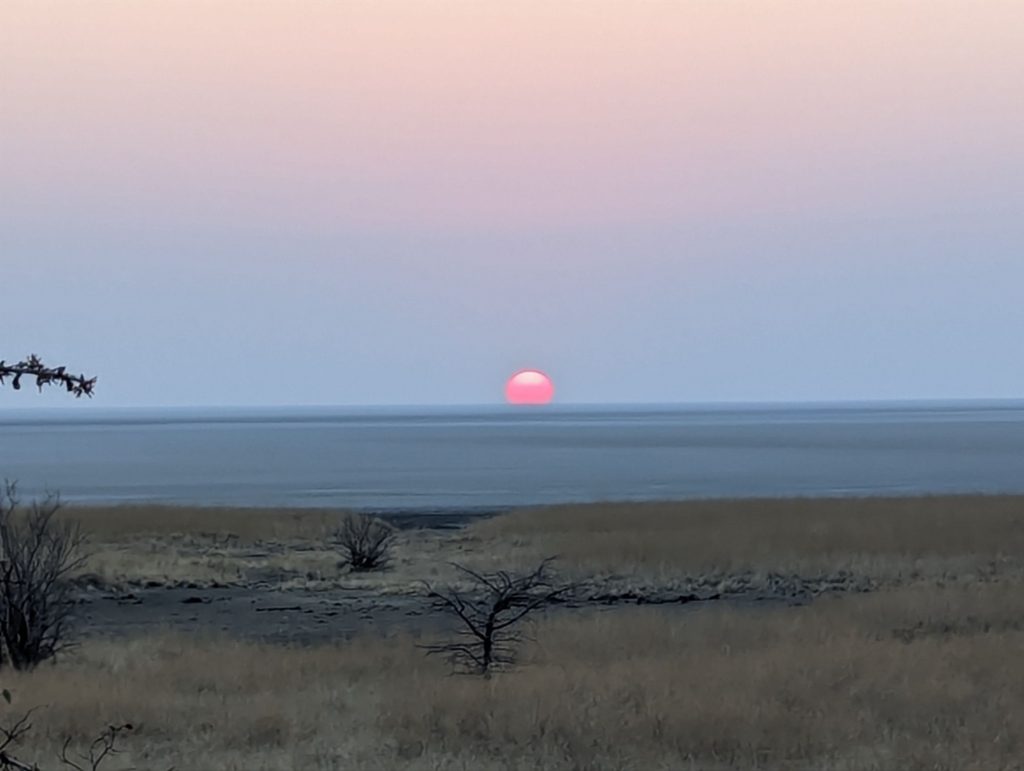
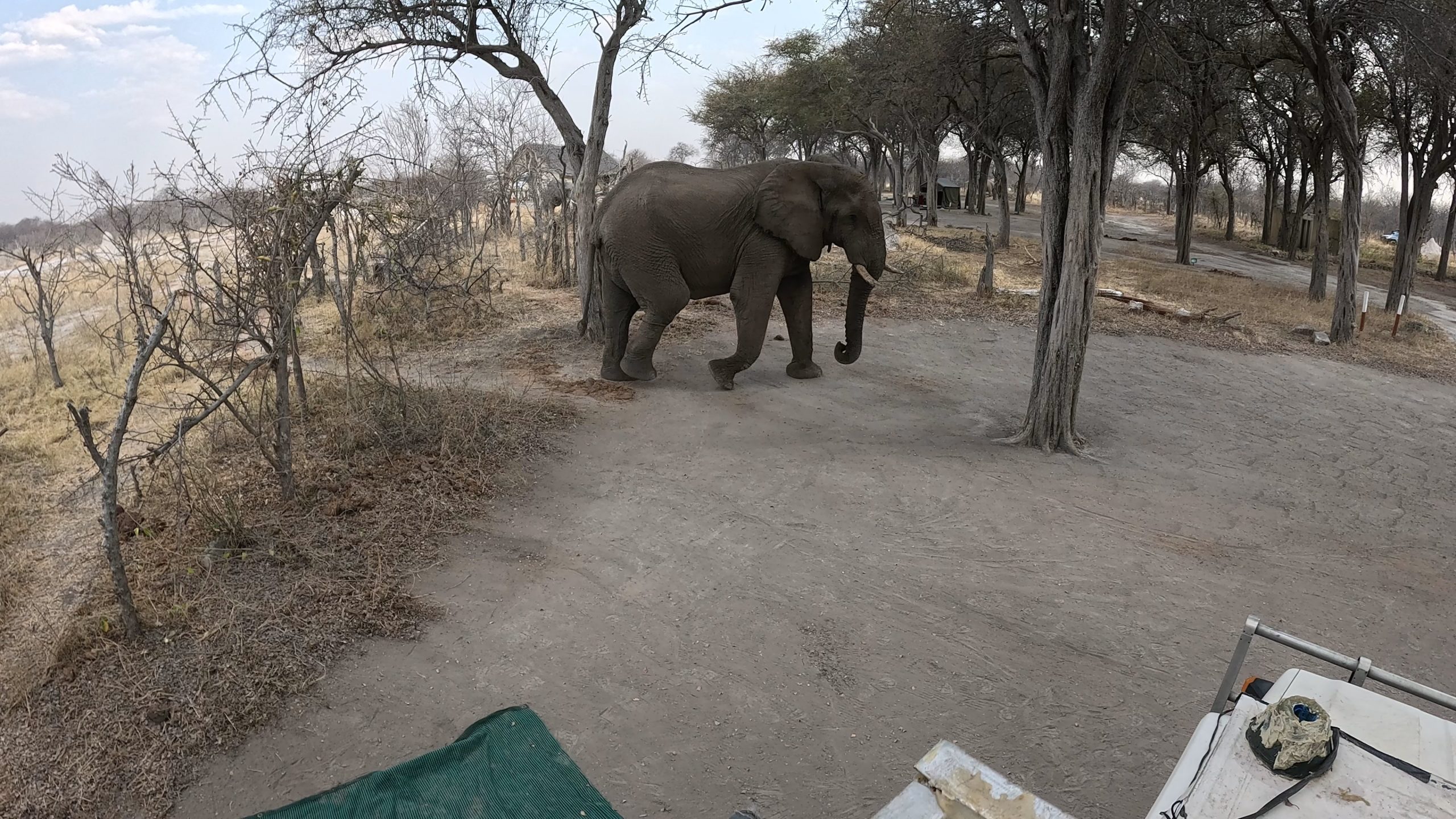
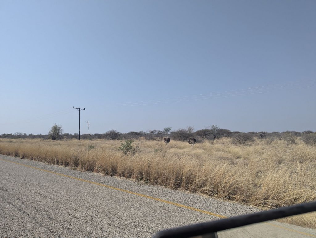
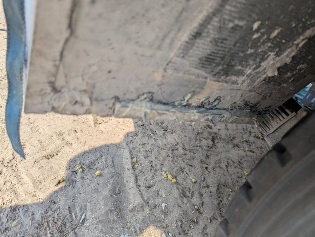
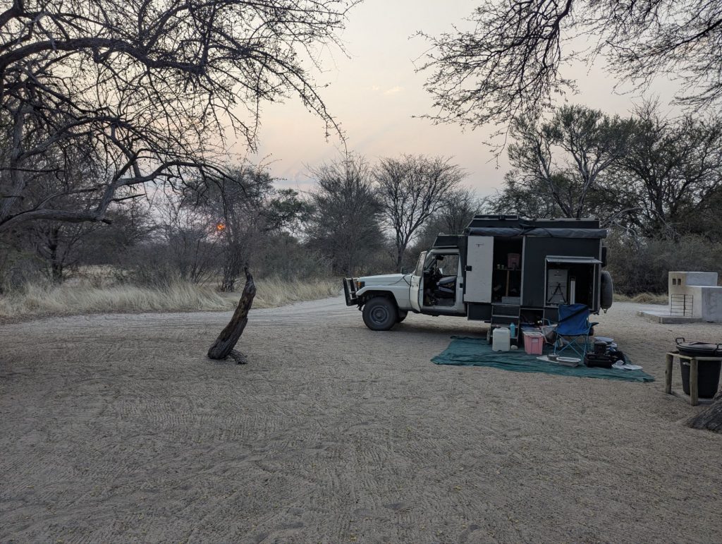
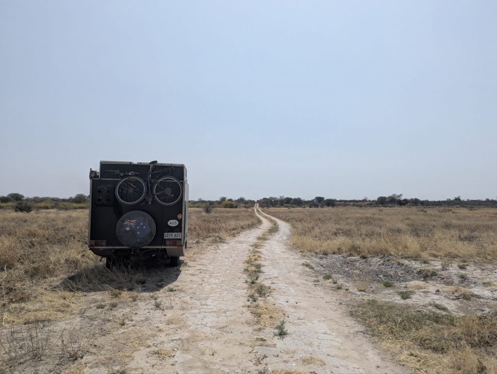
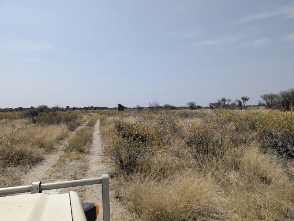
I didn’t get any internet overnight in the wild camp. The local cell towers were 2G. I had this happen before in Zambia, and Angola finding 2G. Australia shutdown our 2G ten years ago, and even 3G last year. Anyway 2G is pretty useless for data.
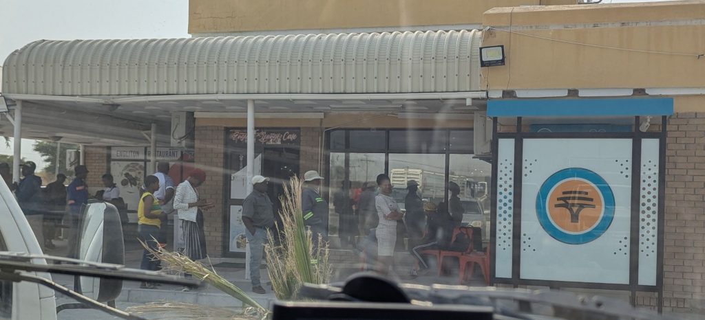
I headed down the highway to Serowe. After getting slightly lost in town blindly following the GPS, I got to the Spar supermarket. Although there was a supermarket in Nata, this Spar supermarket was the first supermarket in a month that was close in its choices of goods to a supermarket in South Africa. I got some decent bananas, some pink lady apples, some tinned pineapple.
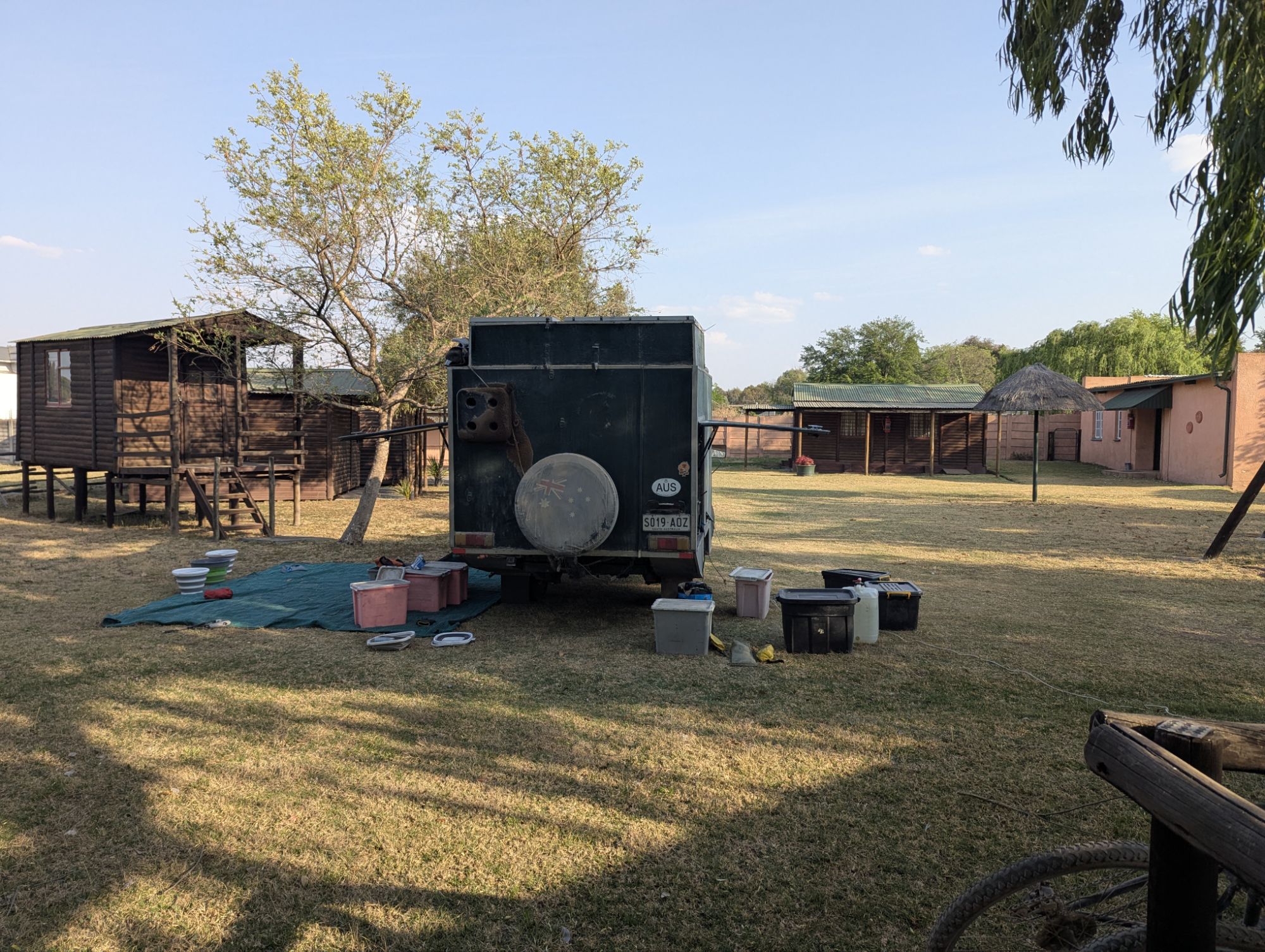
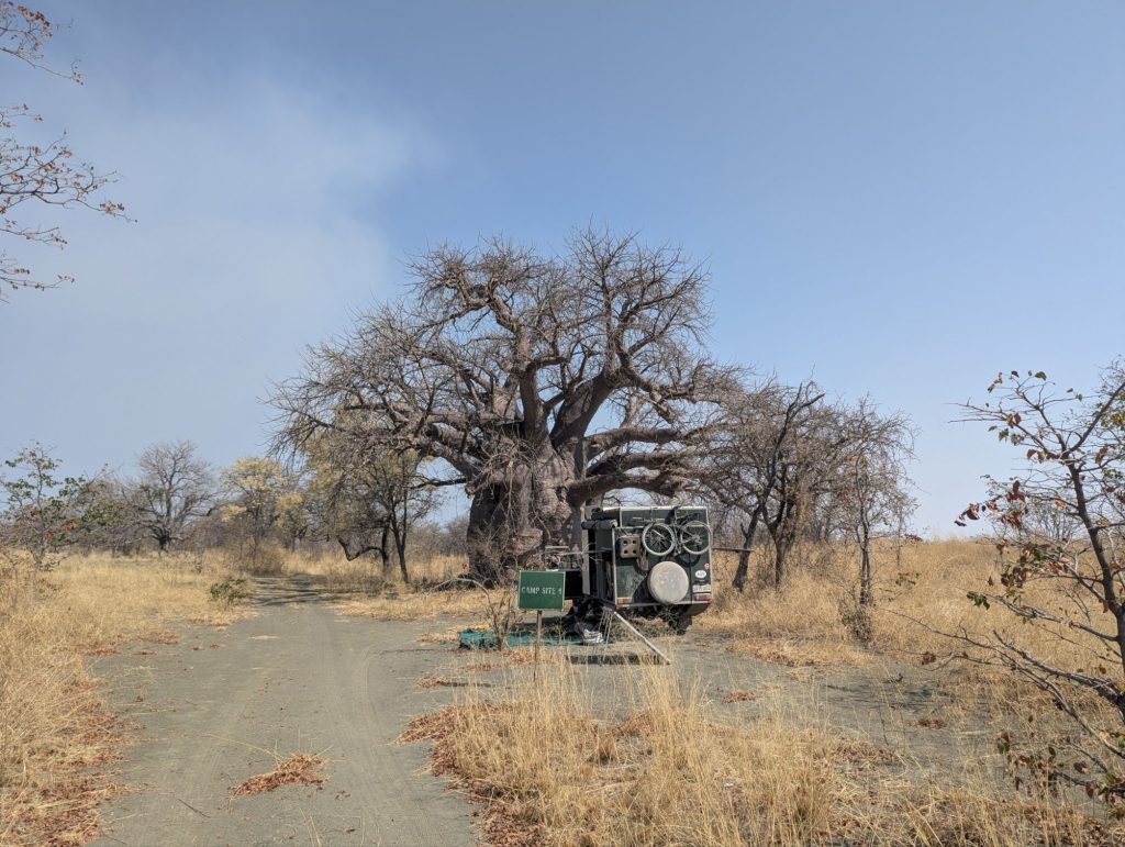
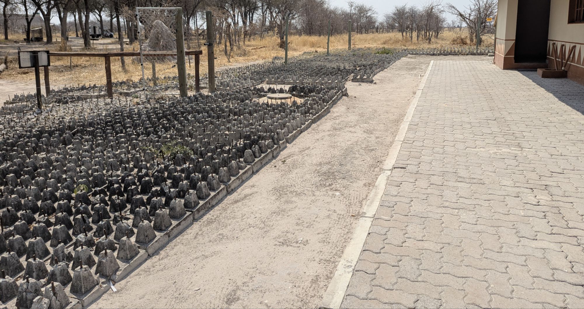
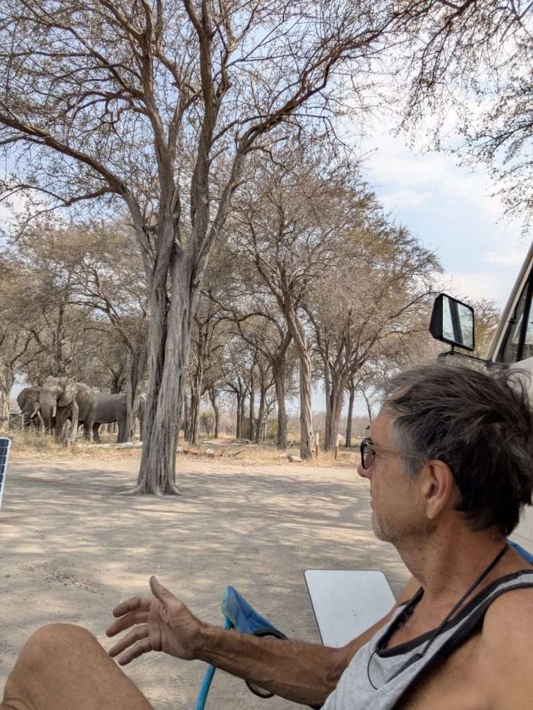
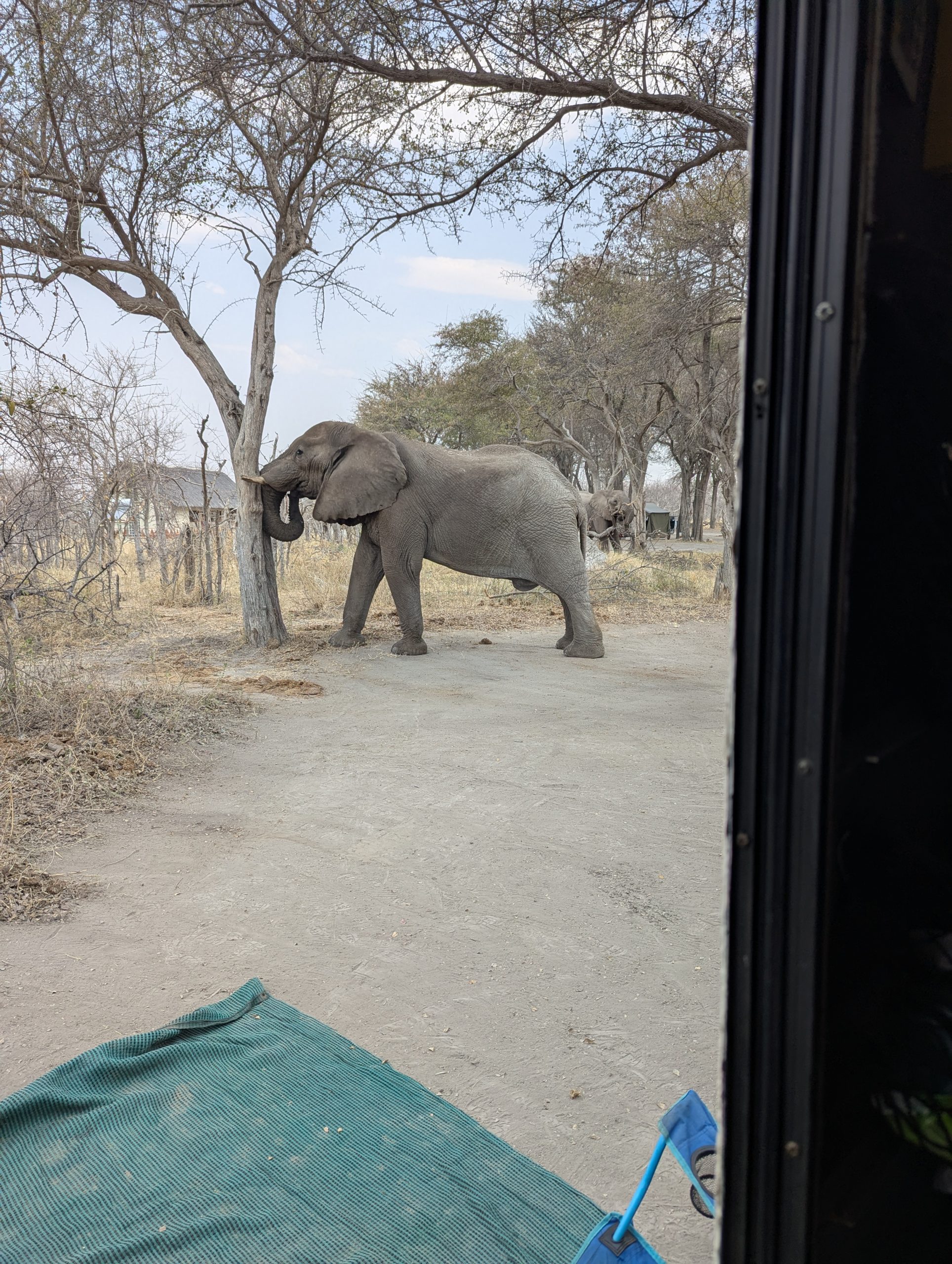
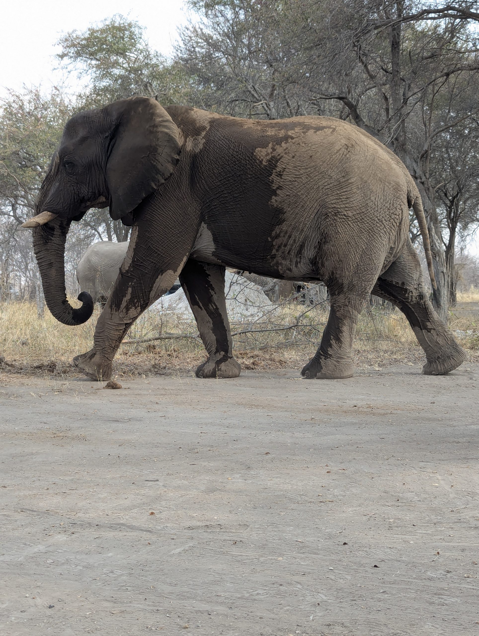
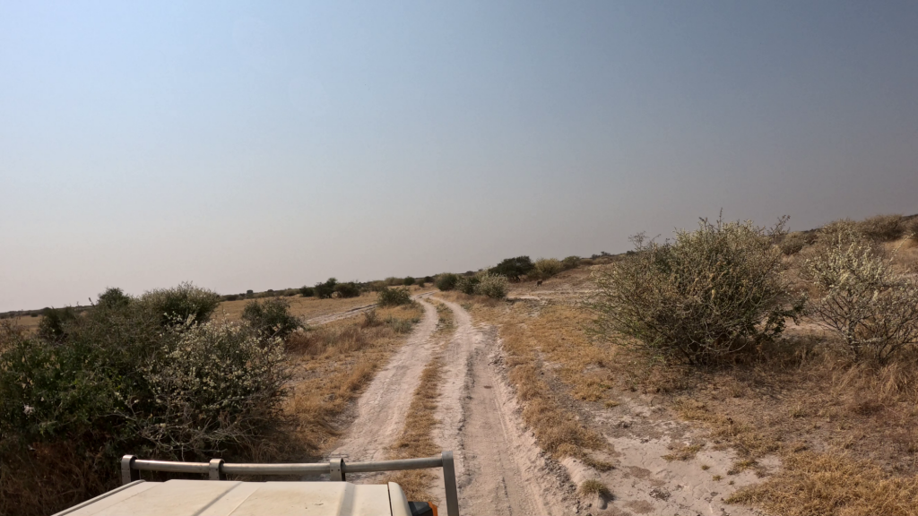
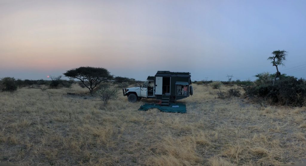
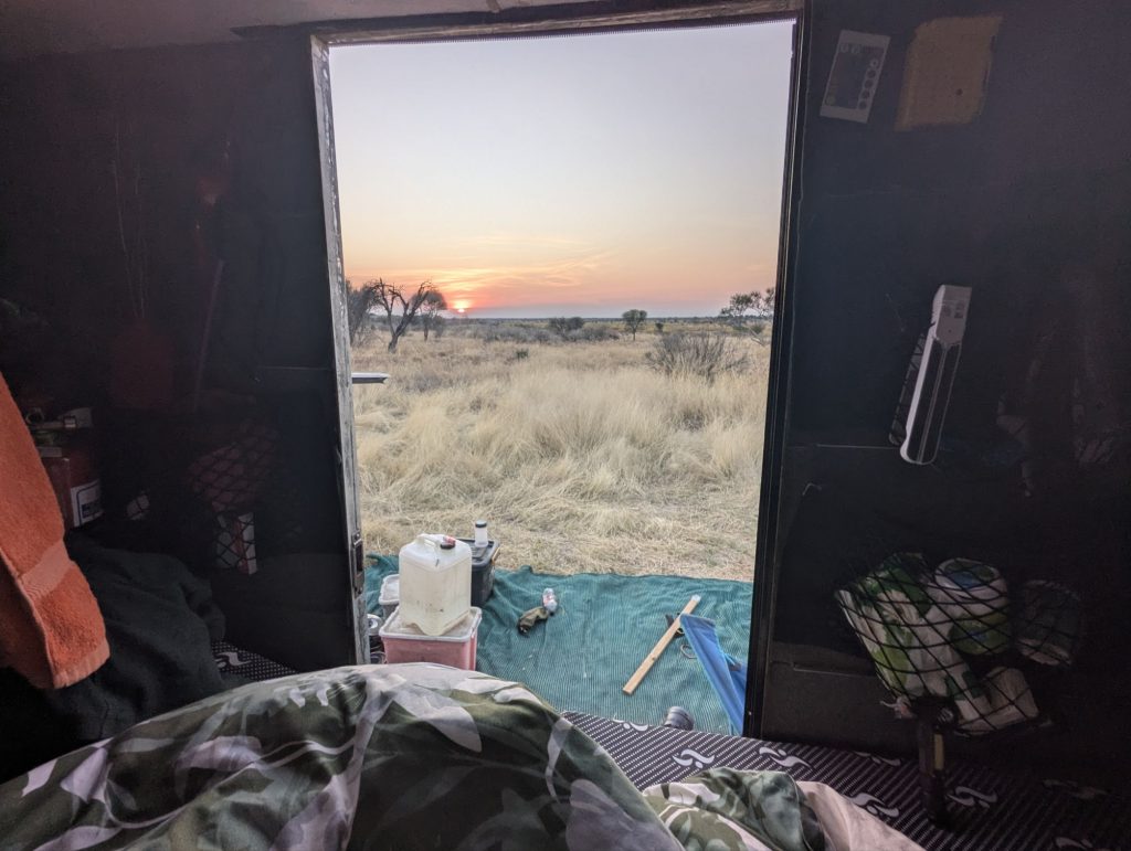
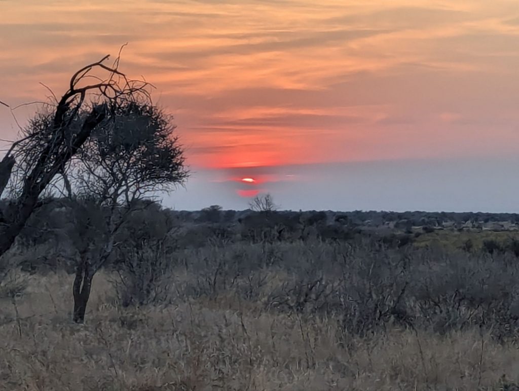
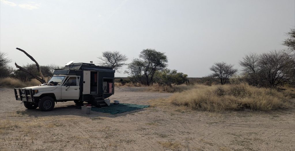
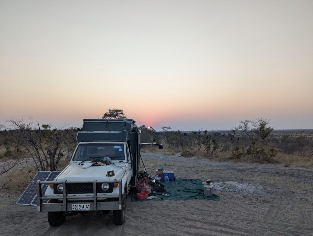
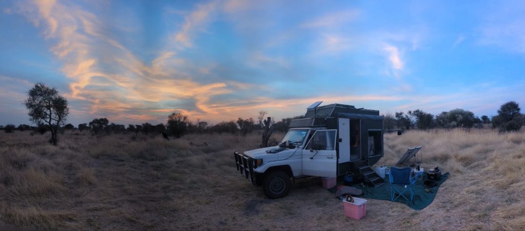
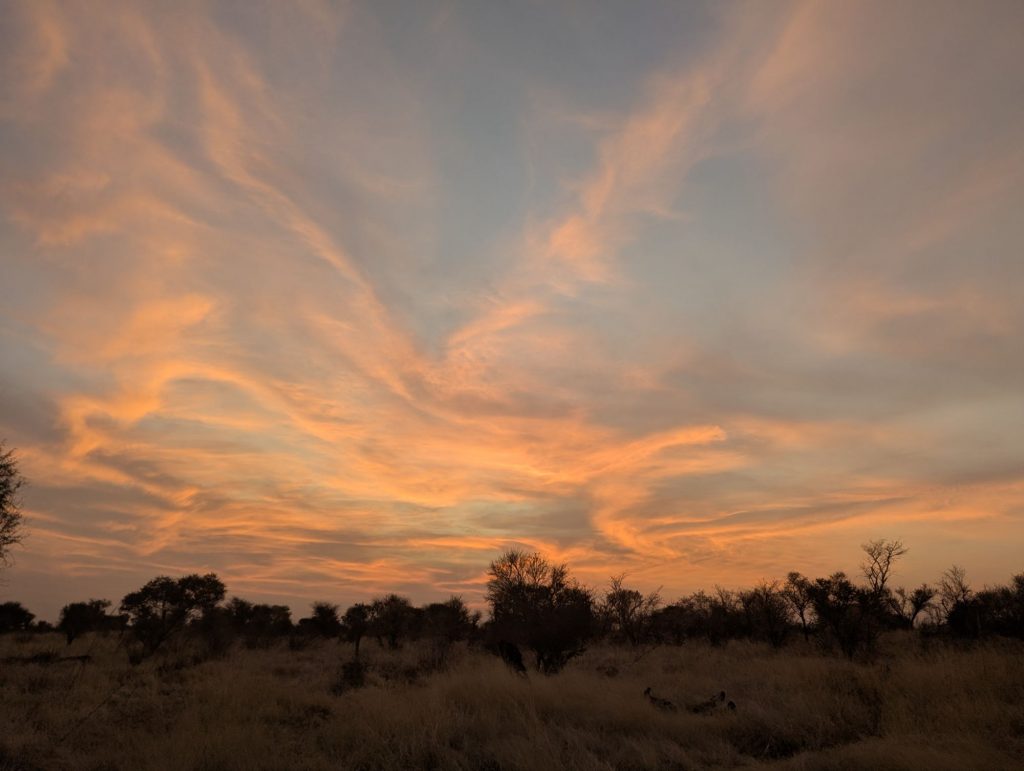
I continue on towards Palapye. I wander around a couple of shopping centres. Palapye is so big now, not the dusty town I visited for the first time ten years ago. I decide I am going to head to Segaigai which is a reserve and campground maybe 5km out of town. There is a campground in town, but the couple of times I have visited it, it has gradually gone downhill. Its good to stay in Palapye as its about 120km run to Martins Drift border crossing, and then its about 230km to Weesgerus caravan park which is not expensive (unlike anything in Bela Bela) and is a reasonable under 200km run to Benoni. So I whatsapp Segaigai, but I don’t get an immediate answer. So I decide I will head out there anyway. However on the way I get a message saying its OK for me to camp, and I tell them I will be there in 15 minutes, but it takes me much longer because I get lost. I get caught blindly following the GPS again getting stuck on roads that are not passable. After about 40 minutes of driving around I finally get there. Its a nice campsite, and after a little while James who is a New Zealander and runs the place introduces himself. He has been there about five years.
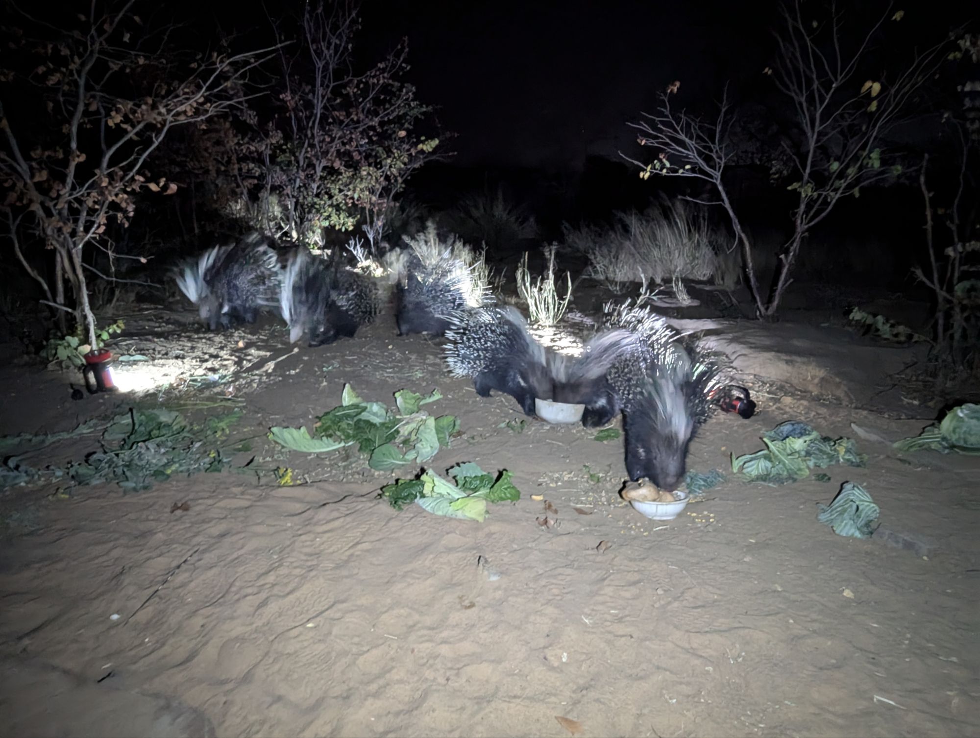
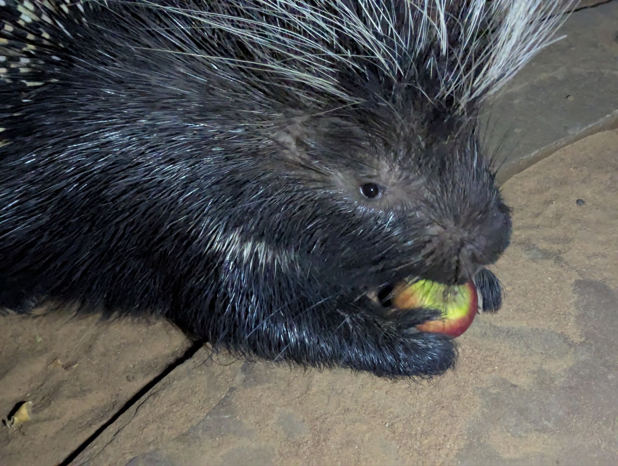
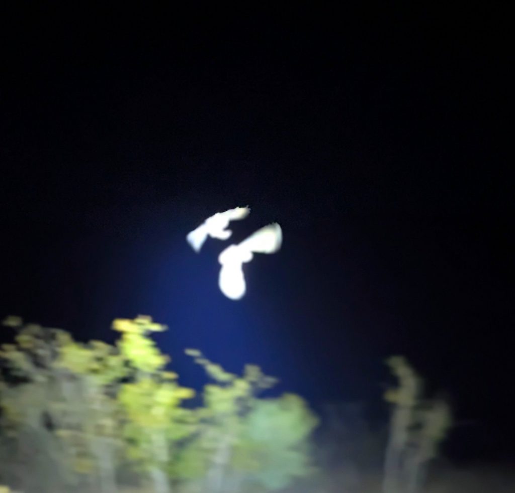
Later in the evening James takes me to the enclosure to feed the porcupines. I had never seen porcupines (they are nocturnal so that’s possibly one reason). They have six in an enclosure. We spent an hour feeding them, cabbage, apples. They are so tame that you can hand feed them apples. They are sort of scary looking, but quite friendly.
Next morning I was up at 5am, and got on the road by 6:30am. Crossing Martins Drift can be a bit crazy, its hard to predict what might happen. When I got close to Martins Drift, I drove past the 3km long queue of trucks waiting to get across the border. Lots of Zambia trucks driving copper products to Durban. In the Botswana side of Martins Drift there were about 3 cars and loads and loads of trucks. In the South Africa side it was the usual truck chaos. You squeeze your way through to a park. The passport side of crossing into South Africa is simple. The vehicle bit is trickier. I needed a TIP (Temporary Import Permit). I got onto a customs guy who was reluctant. However he came out to look at the vehicle, mostly to see that the registration number was right. Then he plugged away for about 30 minutes and eventually I got my TIP. Then it’s squeeze into the truck queue for the police check on the way out. The police were not interested in me this time (they have other times), and I was out into South Africa. Of course on the South Africa side there are 4km of queued trucks, plus food stalls and all sorts of other chaos. 8km down the road there is another police stop. I didn’t get stopped, but the trucks in front of me did. What is the point after you have gone through Martins Drift and all the checking, including a police check, do you need another police check just down the road?
230km later, and about 4pm I rolled into Weesgerus. Weesgerus is a strange caravan park that is a sort of 1970’s caravan park in Australia, full of 1970’s caravans and Afrikaners. It has a couple of swimming pools filled by hot springs. I probably have been there four times and I have never swum in the pools.
Next morning it was the final 180km run to Joberg. You pay tolls about 3 times on the N1 (about $A12 all together). It’s is full of cops pulling people over (didn’t happen to me this trip, but has before). The N1 gets a bit hairy and busy close to Joberg, at least for a very slow 1987 Landcruiser, but eventually I am on the R21 and exiting at Benoni.