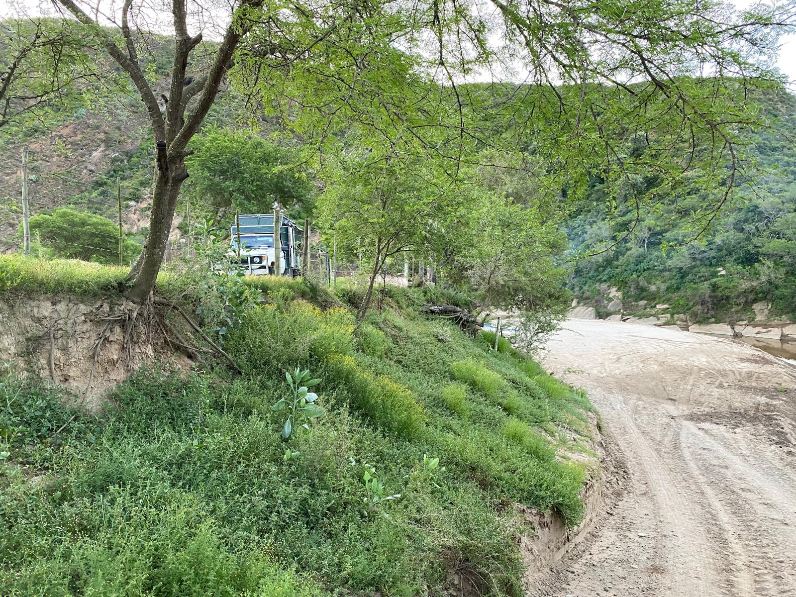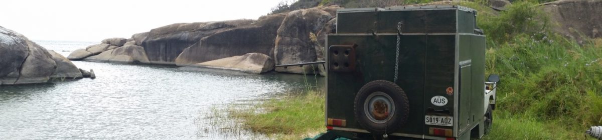
Tsabong to Khiding Pan Mabuasehube

We got to the National Parks office in the morning and map in hand we talked to a helpful man who eventually got us four nights camping in Mabuasehube part of the Kgalagadi Transfrontier Park. Getting bookings in Botswana is like pulling teeth, you want to give them money but they are so reluctant to book sites. We got more supplies and drove for a couple of hours up a gradually worse road to Mubua gate. There Liz managed to get one of the staff to book three more nights so we had a total of 7 nights. We then drove 25km into Khiding Pan. We were booked in for two nights at Khiding Pan. One the second day we were there the South Africa couple who we met at the border and their parents stopped in at the neighboring camp and invited us over for breakfast. We had a great breakfast and discussion.
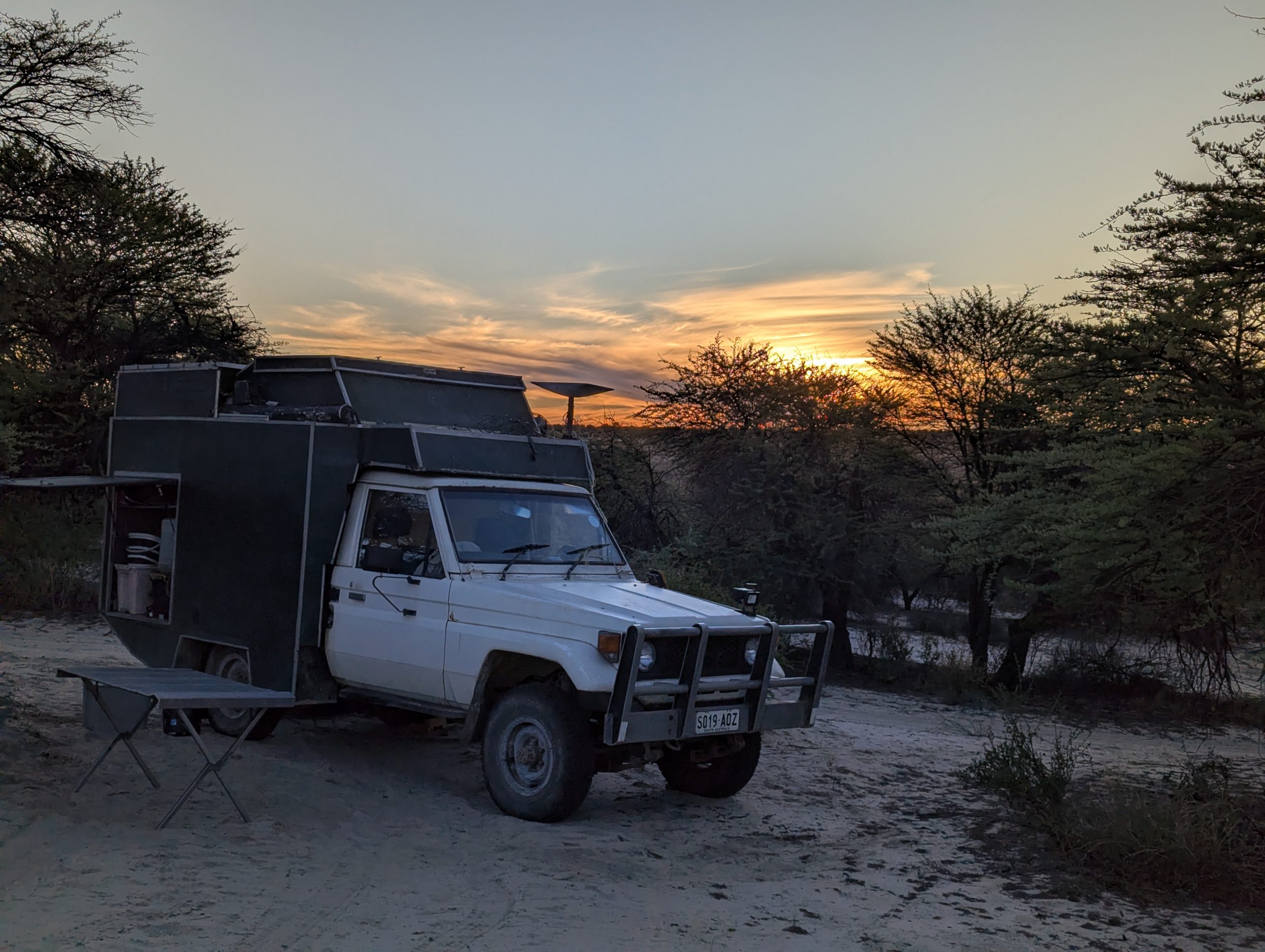
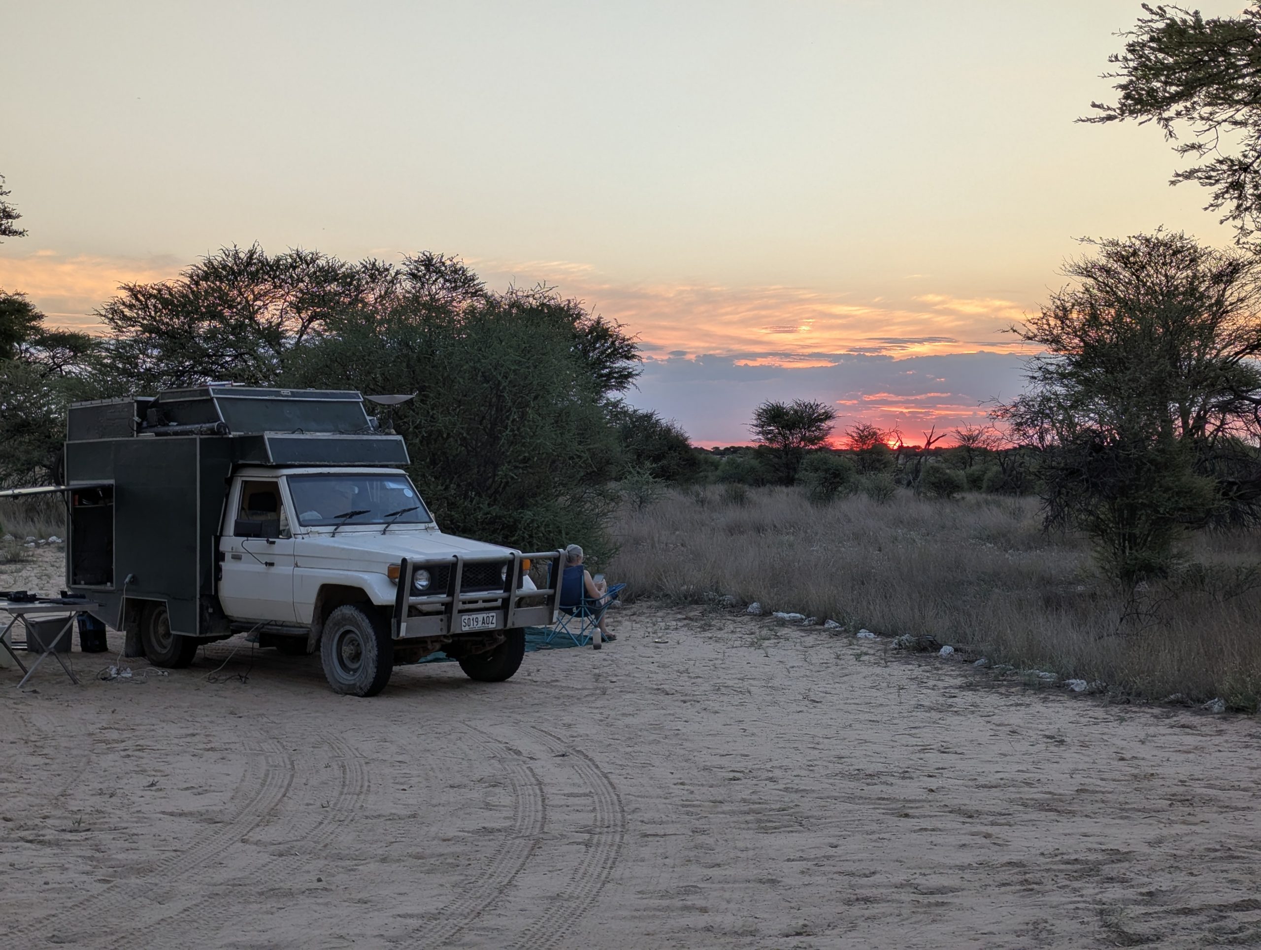
Sunset at Khiding Pan
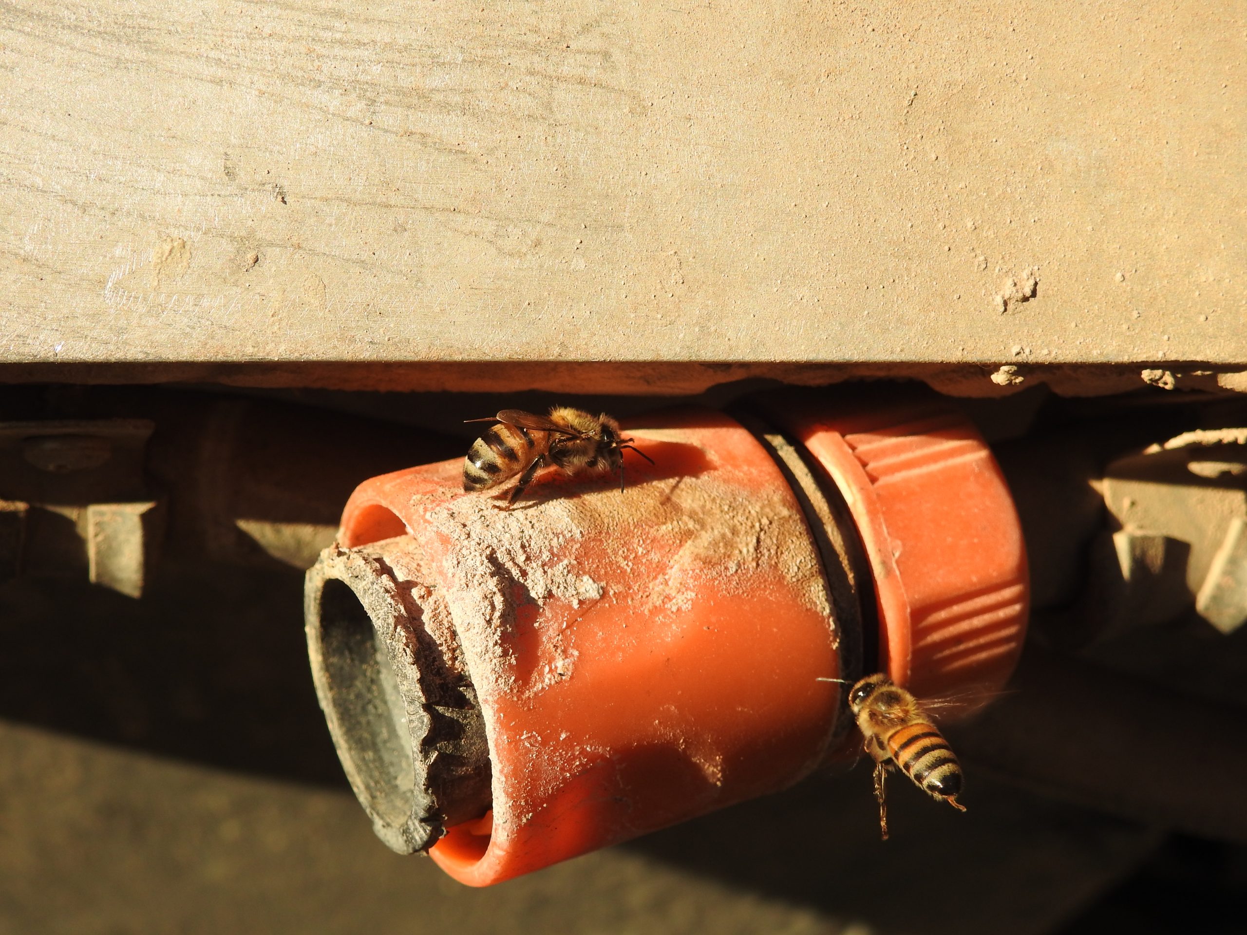
We were plagued by African Honey Bees. They swarmed around any water.
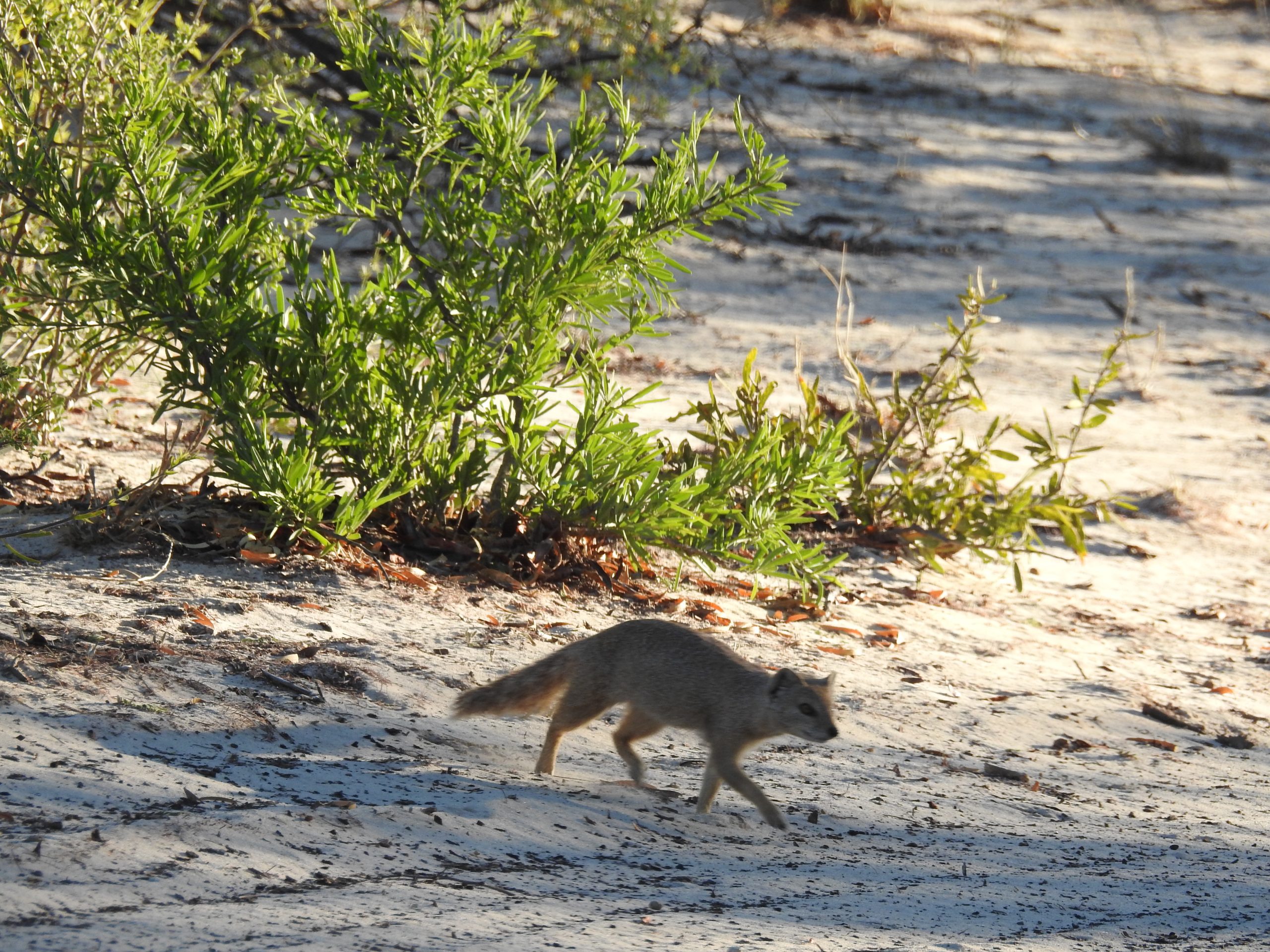
There were Yellow mongoose around camp

Wild Camp to Camel Park Tsabong

A successful wild camp by the side of the road, hardly any cars during the night. We headed off to Tsabong and while sitting in the car park someone nearby we got talking to told us we could book for Mubua at the National Parks office nearby, but it would not be open until Monday. So we headed off to Camel Park outside Tsabong for a afternoon of relaxation, and washing.

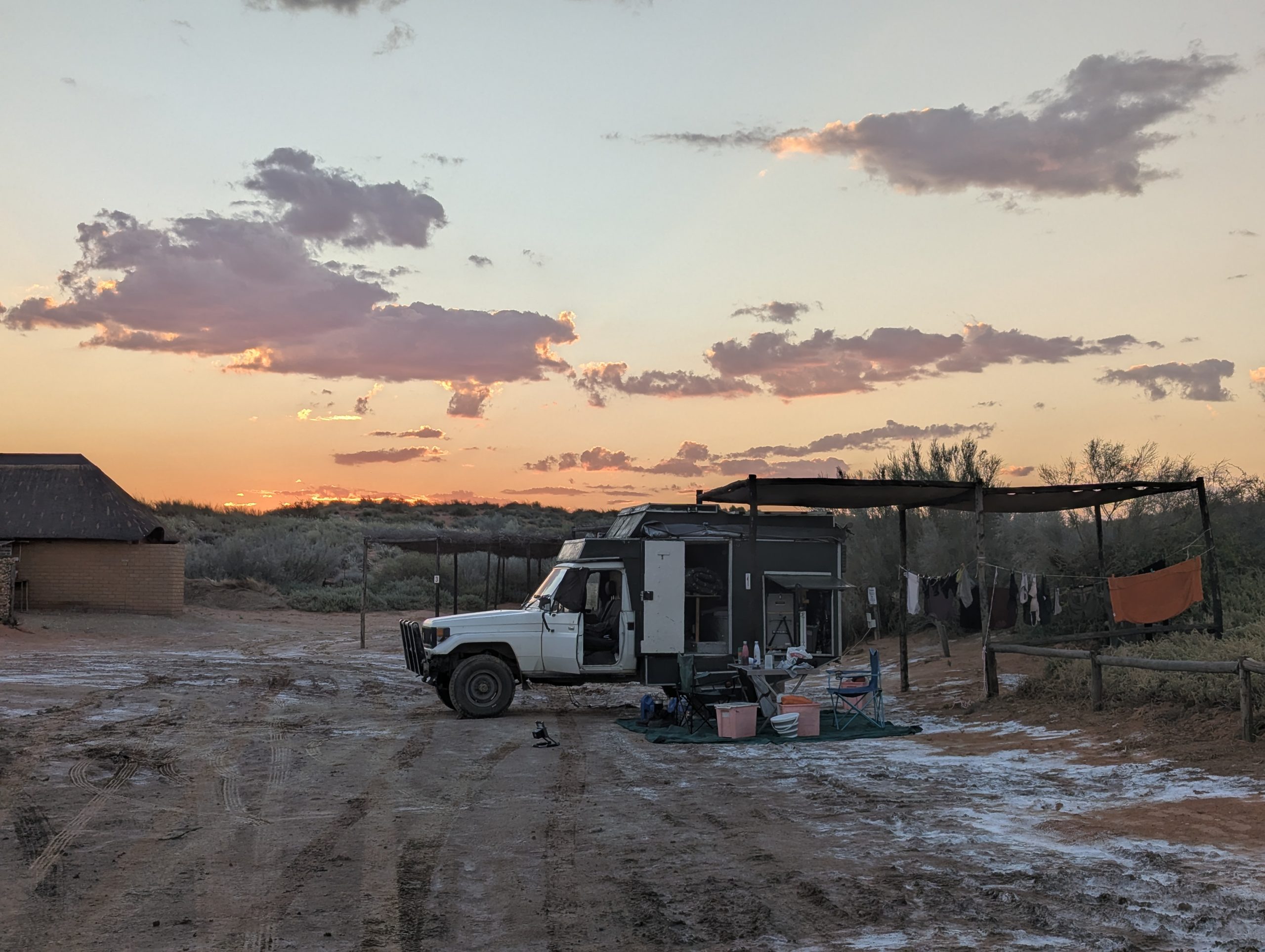
Sunset at Camel Park

Goerpan Lodge South Africa to Wild Camp east of Bokspits Botswana

It didn’t take long to warm up, we headed north to Askham to top up with more fuel. It then was 58km up to the entrance to Kgalagadi Transfrontier Park . We got to Twee Rivieren the entrance and border crossing to the park. We spoke to the Policeman about crossing and he thought it would be fine. However to cross we needed bookings in the park, and after much back and forth and phone calls to Botswana, we could not get any bookings.

So the alternative was to drive back down to the border crossing at Bokspits. We entered the border apprehensive that we might fail, but met a very friendly policeman (and another not so friendly one). Another South African couple also crossed at the same time, which made it a very friendly atmosphere. So we crossed, and then went through the border crossing into Botswana.

I had not looked at how far it was to Tsabong, and there was no way we would make it before dark, so we started looking for a wild camp. The second one on iOverlander was OK, and we camped behind some trees on a pretty quiet road.

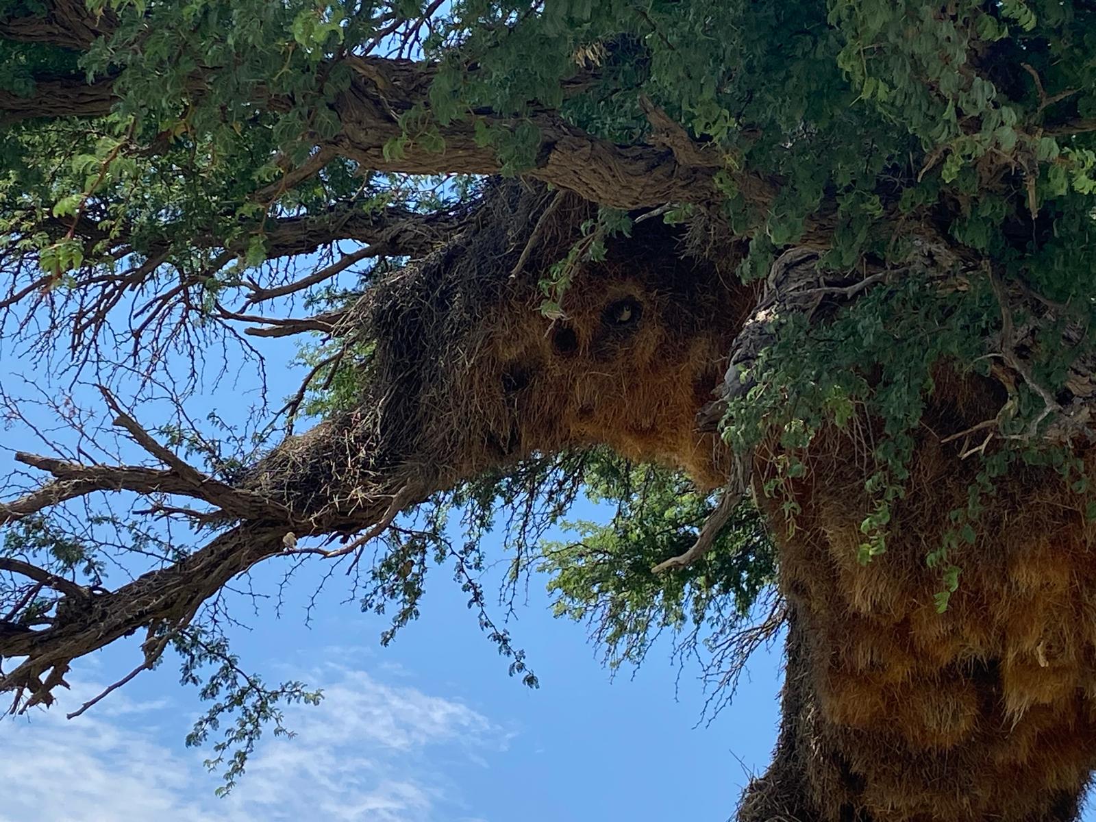
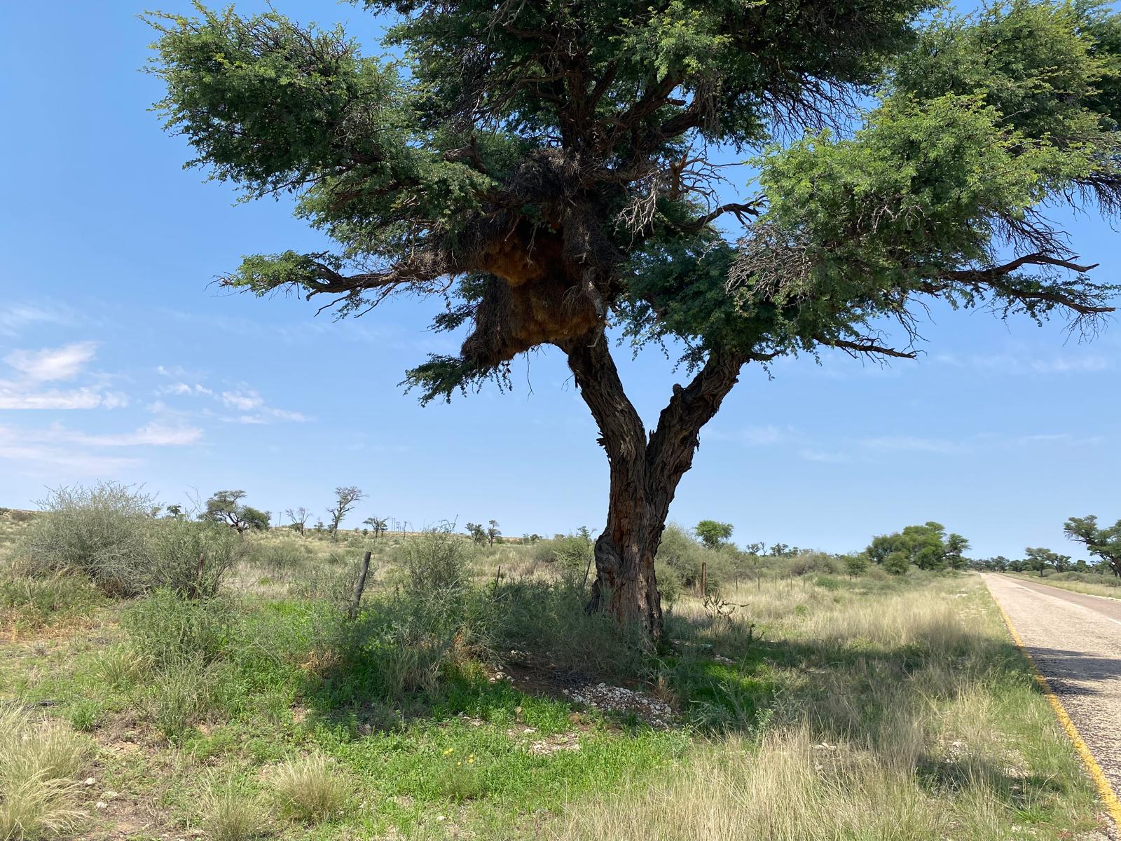
Weaver birds – communal nest

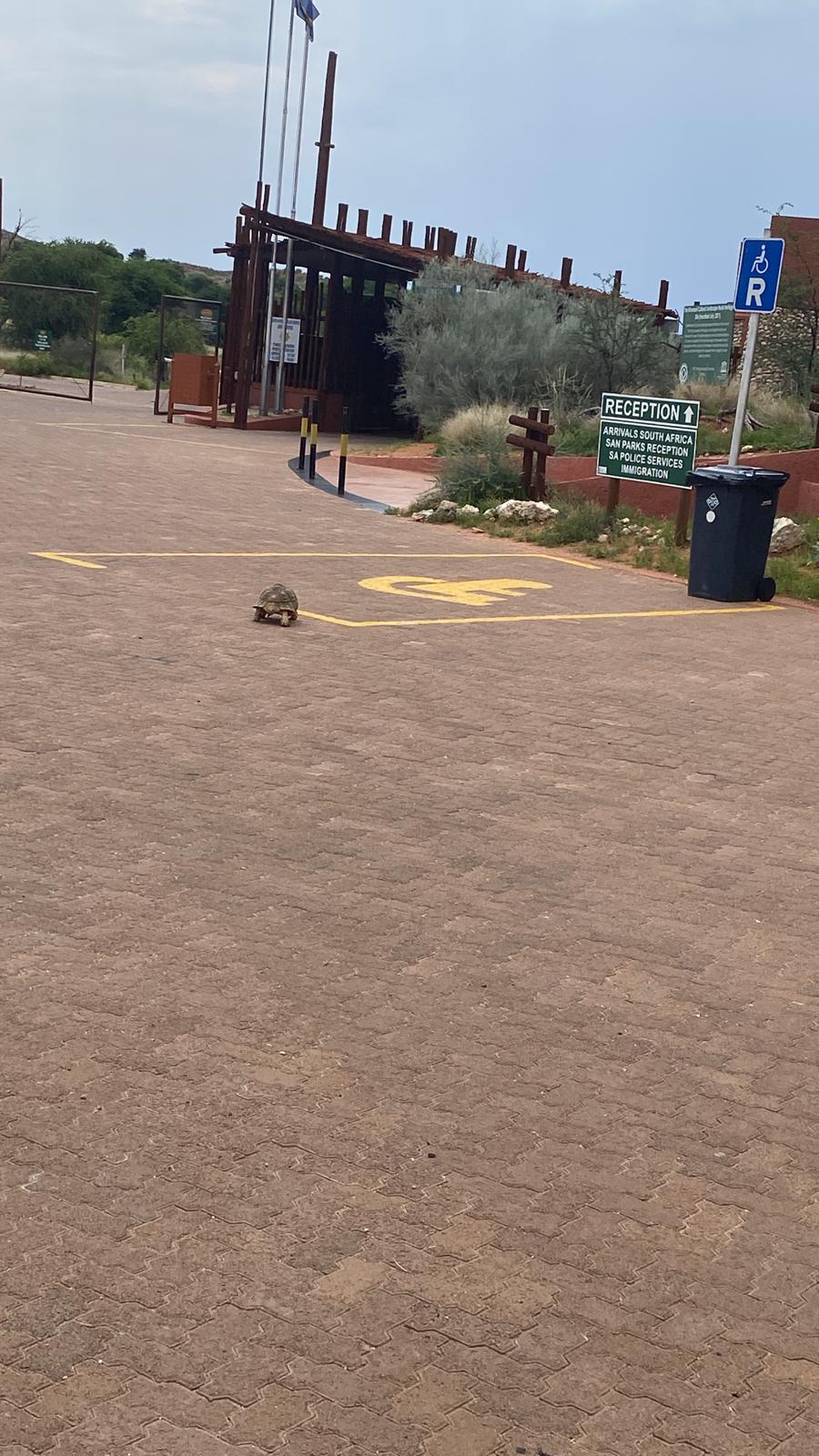
A tortoise wandering across the car park at Kgalagadi Transfrontier Park reception

Springbok to Goerapan Lodge

We had a big target today, all the way to Upington 387km away, so we left early before 7am. It was a hot day around 37C. We did well getting to Upington at 1:30pm . We got purified water for our trip to Botswana. Then supplies from PnP, and loads of fuel.

We then headed another 110km north towards Kgalagadi Transfrontier Park and Goerpan Lodge. It was about 4km off the main road. It was a campsite on a slightly muddy pan. It was pretty warm and we had showers that just used the fairly warm cold water in the ablutions.

Sunset at Goerpan Lodge
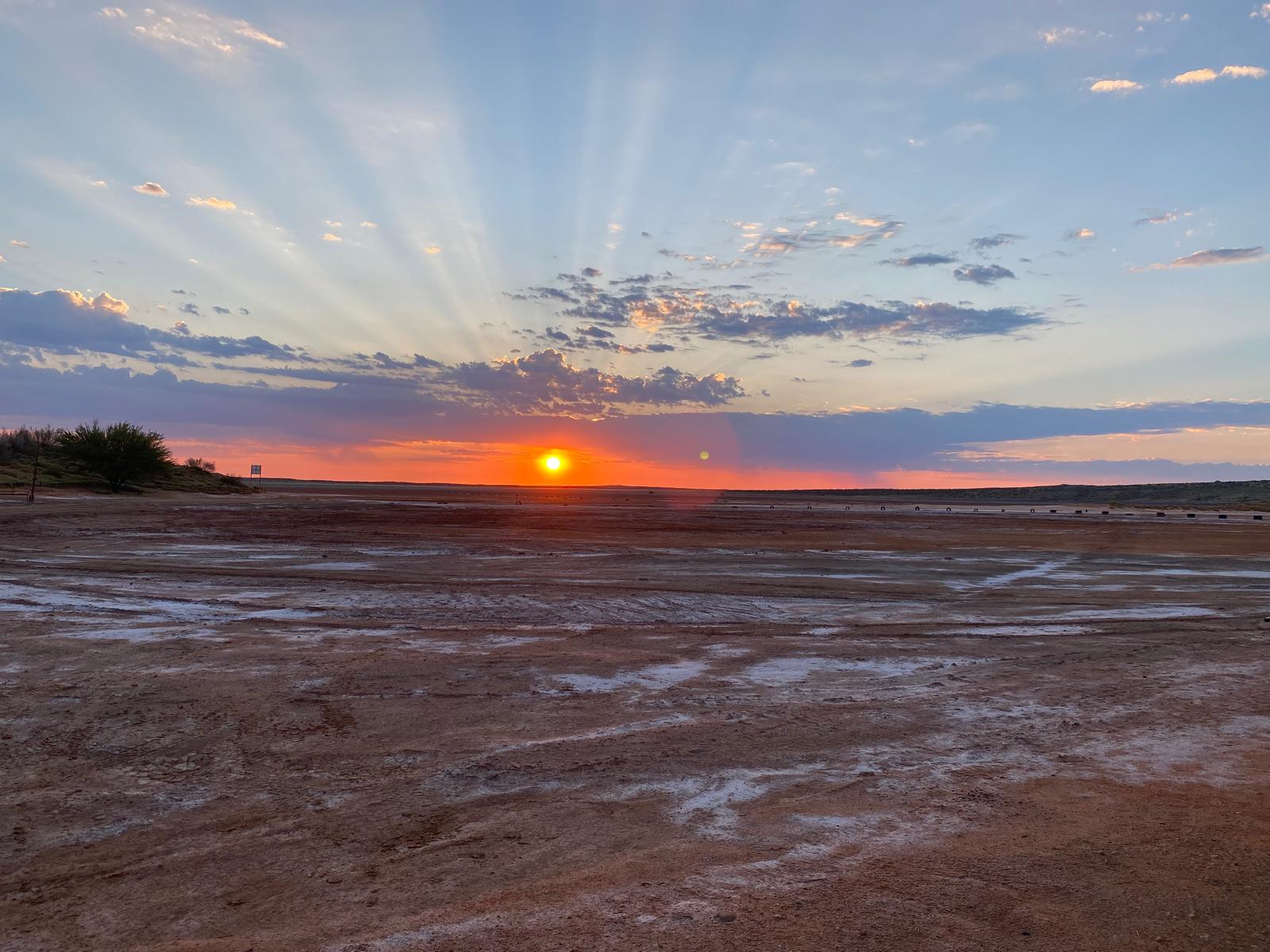
Dawn at Goerpan Lodge
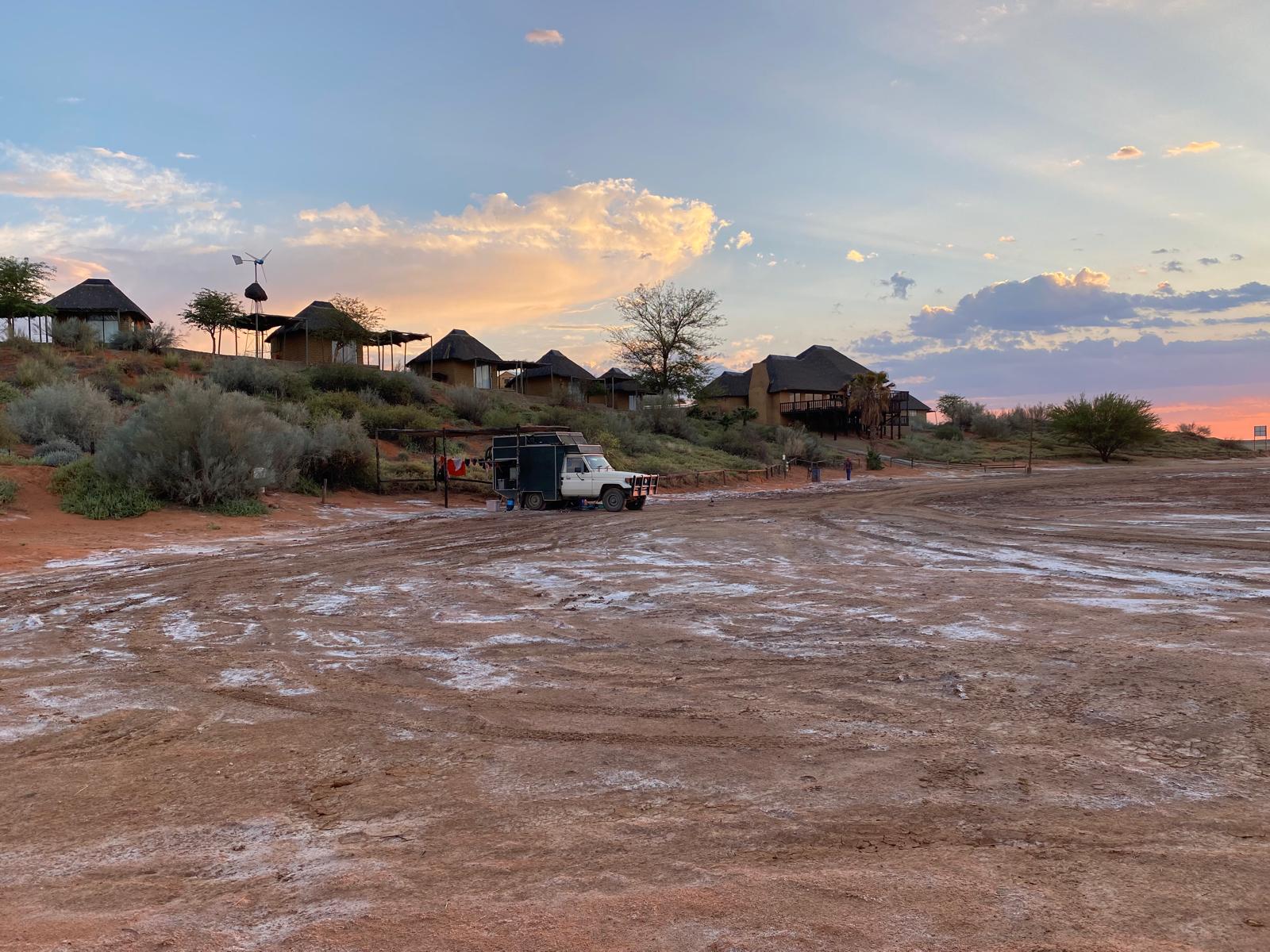
Goerpan Lodge


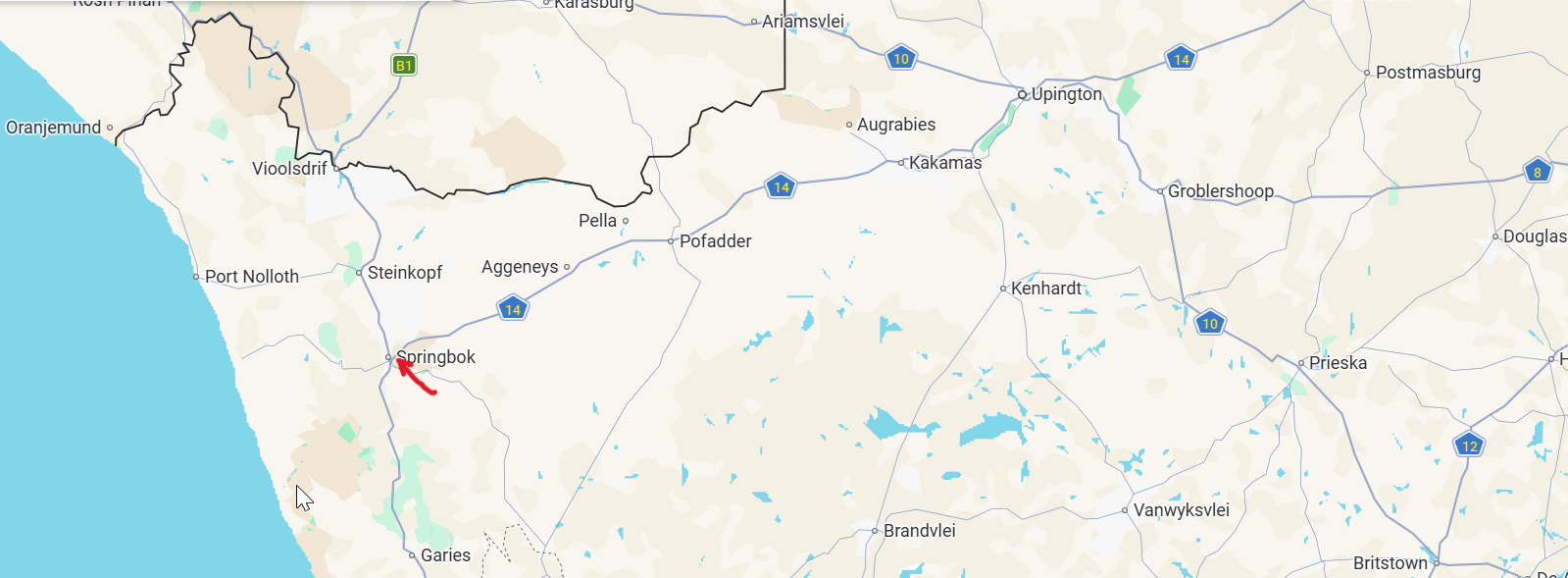
Hondeklip Bay to Springbok

We went for a walk along Hondekip Bay beach and a small drive north. Hondekip Bay is not the fancy beach  destination, it feels like a remote town at the end of the earth. More Coober Pedy than Victor Harbor. We headed off along the rough road to the N7 highway. We wanted to get east of Springbok, and Liz tried contacting three different campground but received no replies. So we had to stop at Springbok, and stayed at the Springbok Caravan Park.

Strandfontein to Hondeklip Bay

We talked to a neighbor in the morning at Strandfontein. We had read on iOverlander that someone had tried to cross the border that we were planning to cross into Botswana, and they had been refused. The refusal was because they were a foreign vehicle, and they were no longer allowed over small border crossings. Our neighbour suggested that we cross into the Kgalagadi Transfrontier Park, where they would be used to foreign vehicles. So we decided that’s what we would try.

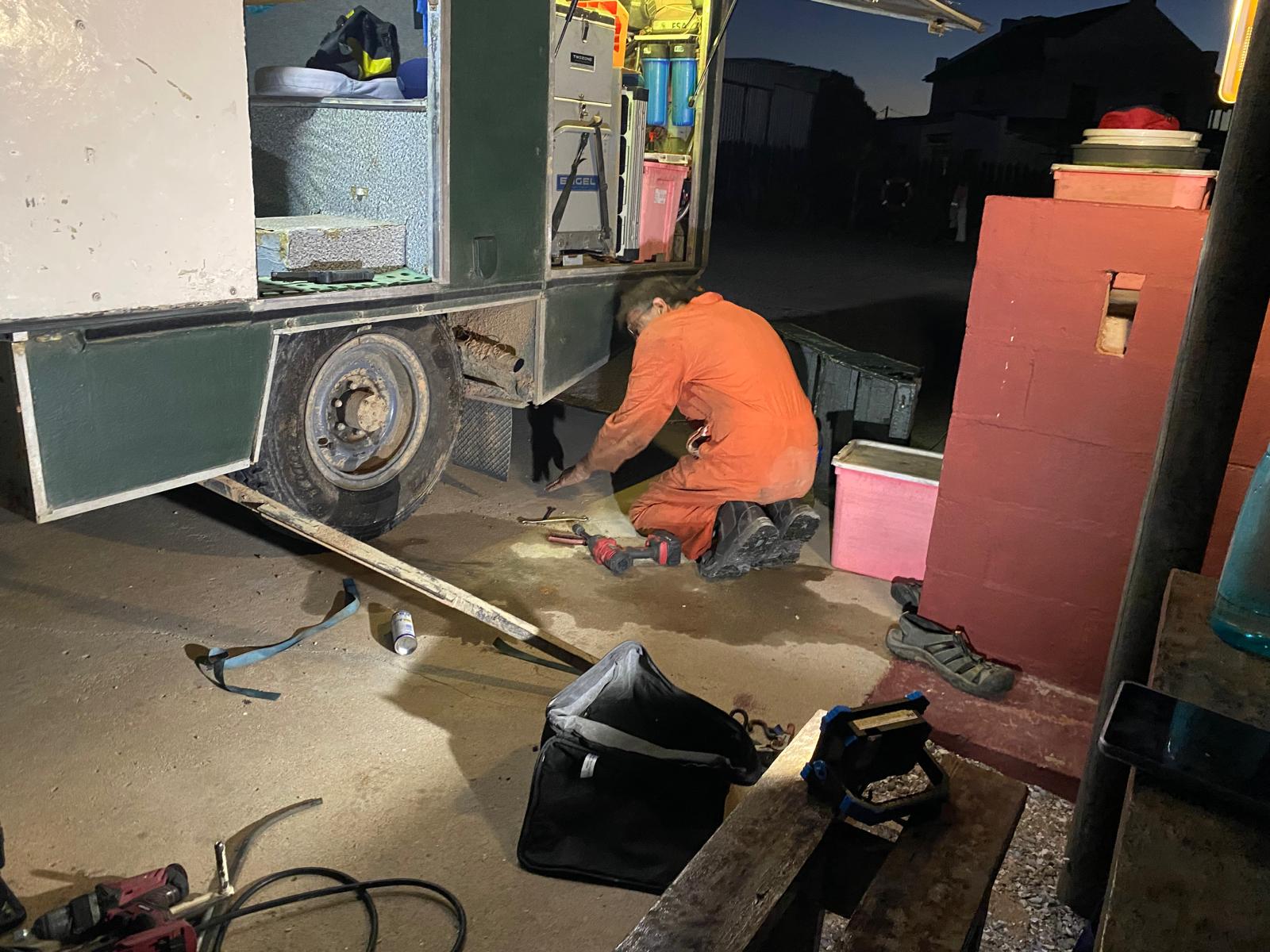
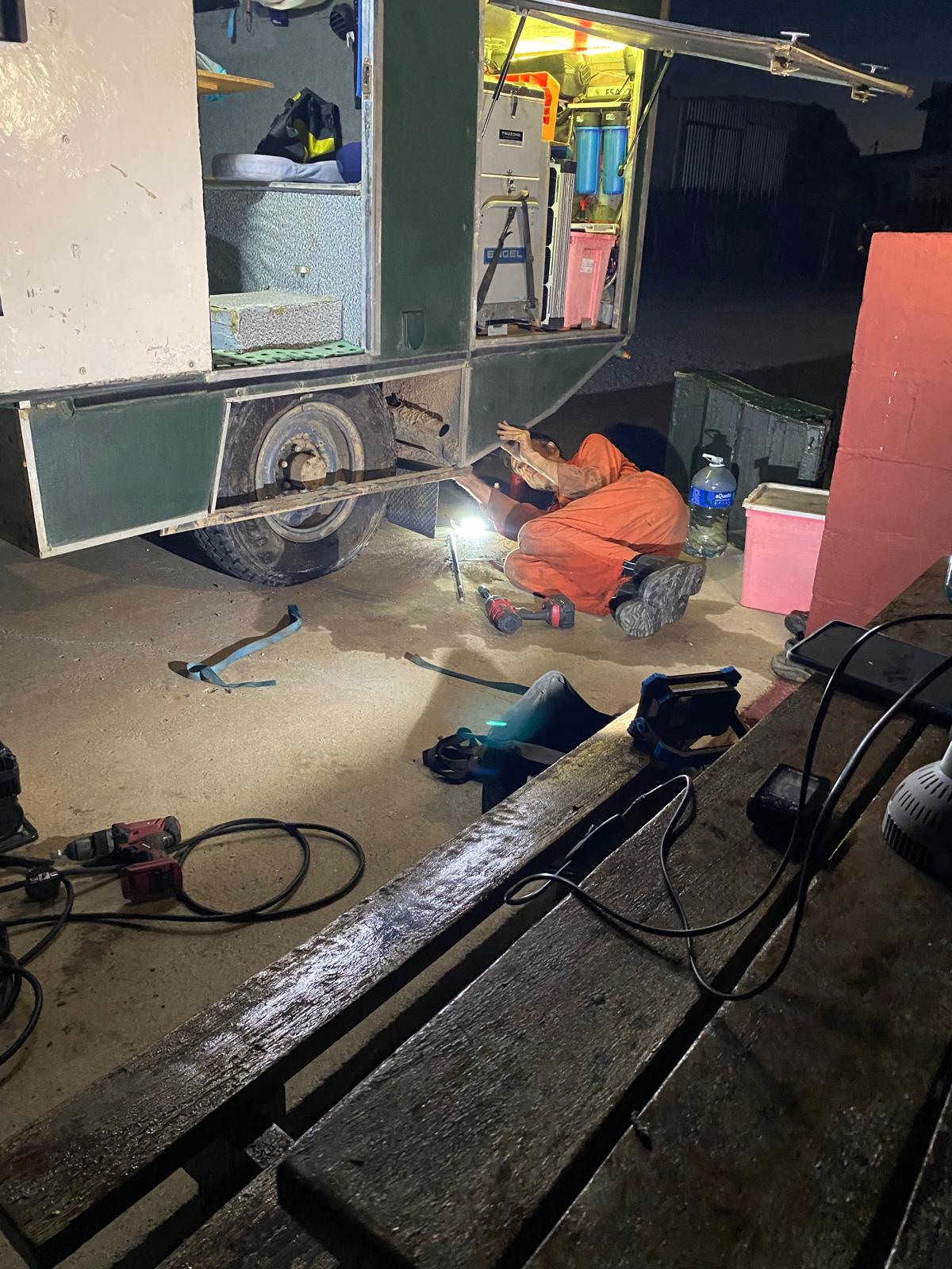
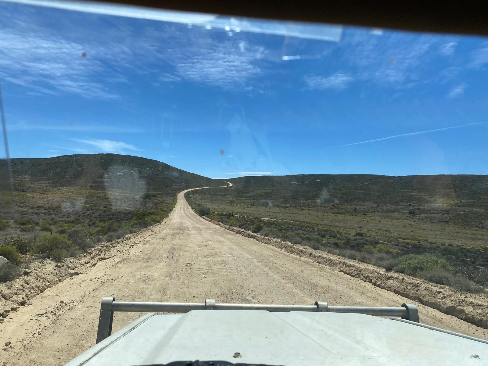
However first up to Hondeklip Bay, our last stop on the Alantic Ocean. It was back to the N7 highway heading north. We stopped for fuel at Garies and then headed off along about 20km of bitumen road, then it was 55km of sometimes rough corrugated dirt to Hondeklip Bay. We arrived at Hondeklip Bay and tried to get into a campsite that we had found on Google. However phone calls went nowhere. Then the tyre alarm went off, and we had a leaking rear tyre. We pumped it up and got to the camping ground listed on iOverlander. It was then a couple of hours removing the tyre dismantling the split rim and fixing the puncture.

Fixing the flat tyre
Tyre fix
The rough road to Hondeklip Bay
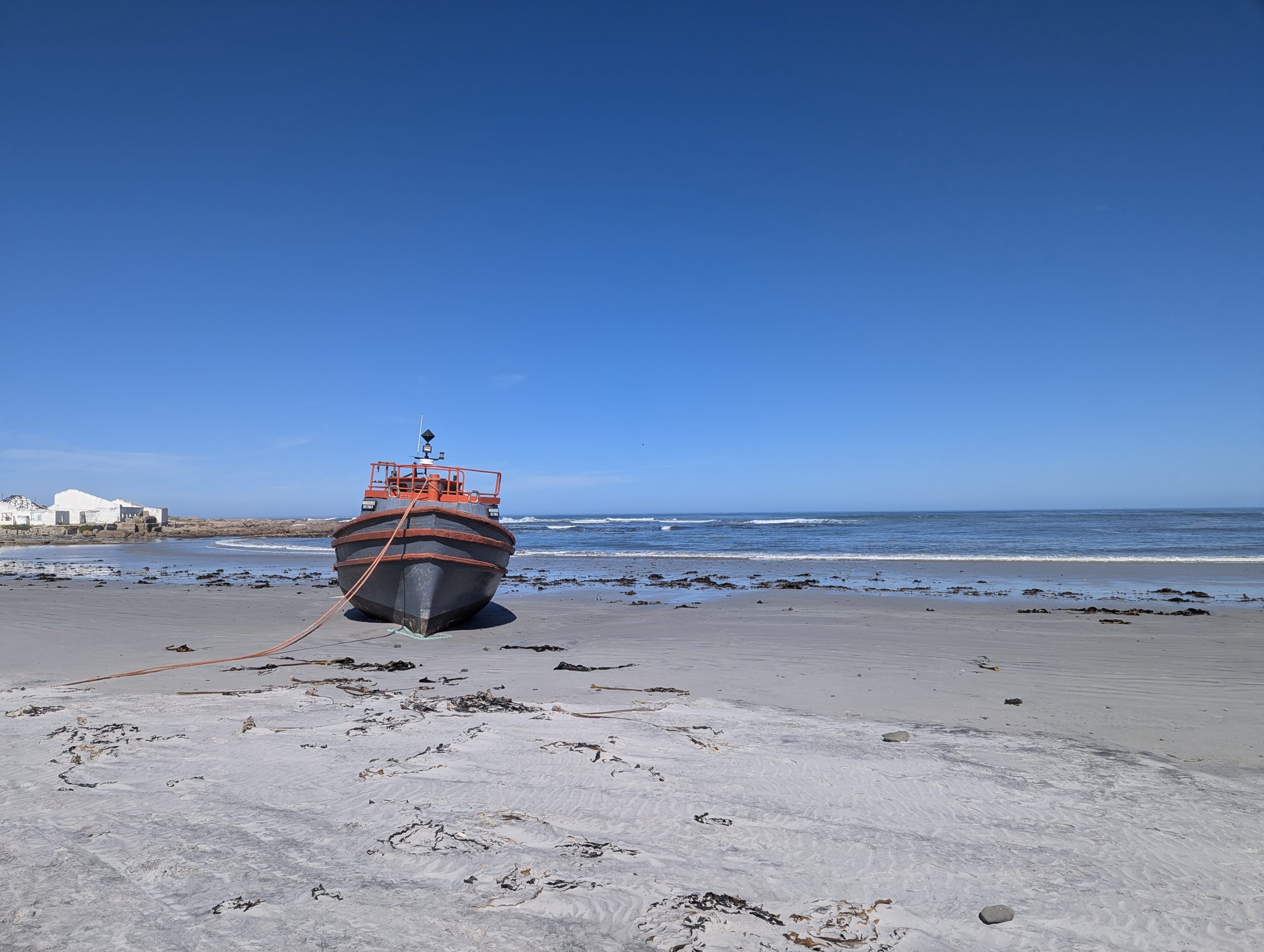
A boat on Hondeklip Bay

Ou Skip Cape Town to Strandfontein Western Cape

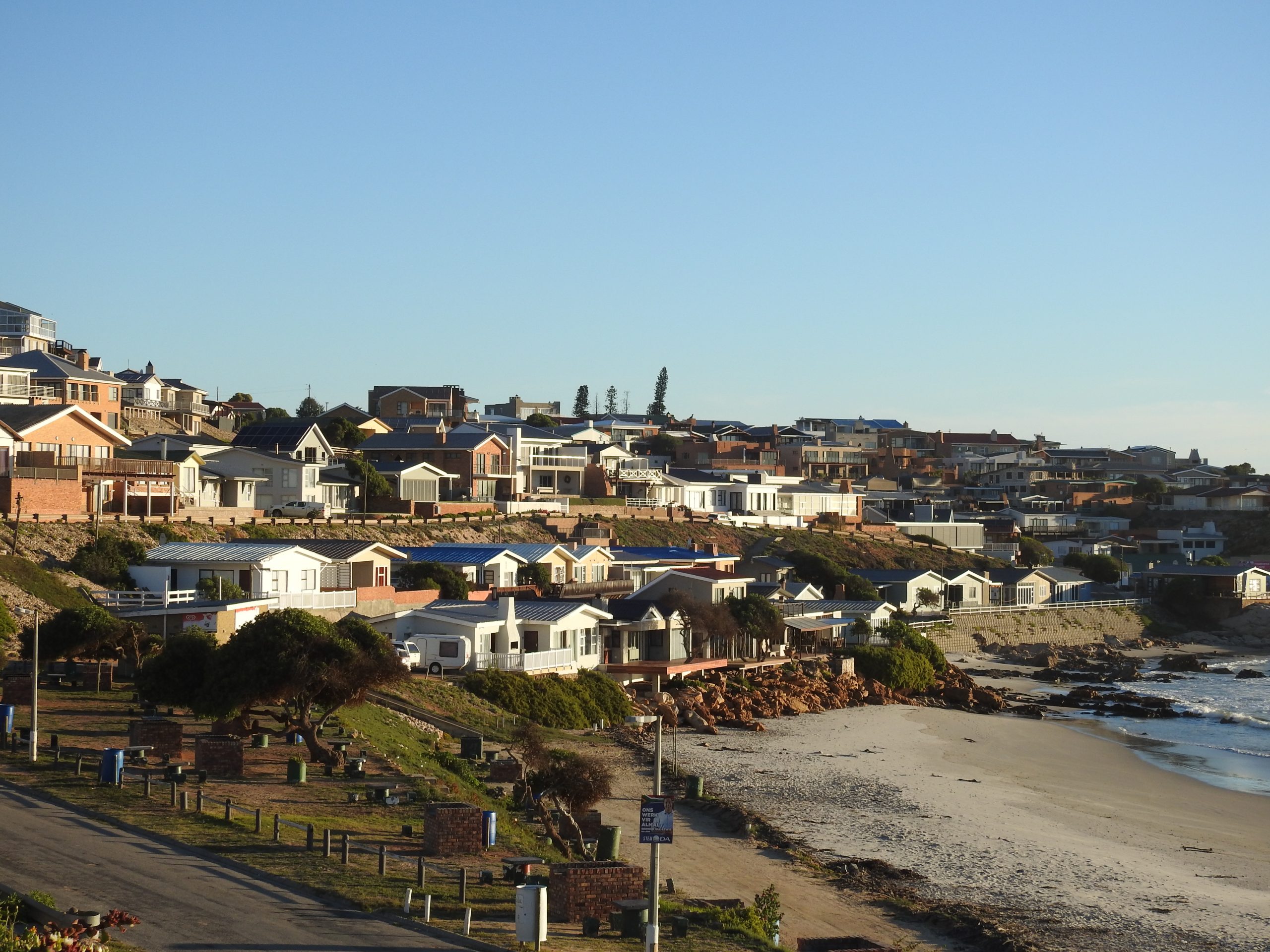
We headed to the local supermarket for supplies then headed north along the coast. We stopped at Langebaan on the way north, and Elands Bay for lunch. Then it was a dirt road with some detours to Strandfontein. We made it to the Municipal office before 5pm to get a key to a private ensuite for our campsite. The campsite had good views over the bay, with some fancy houses on the southern side.

Strandfontein, the expensive houses
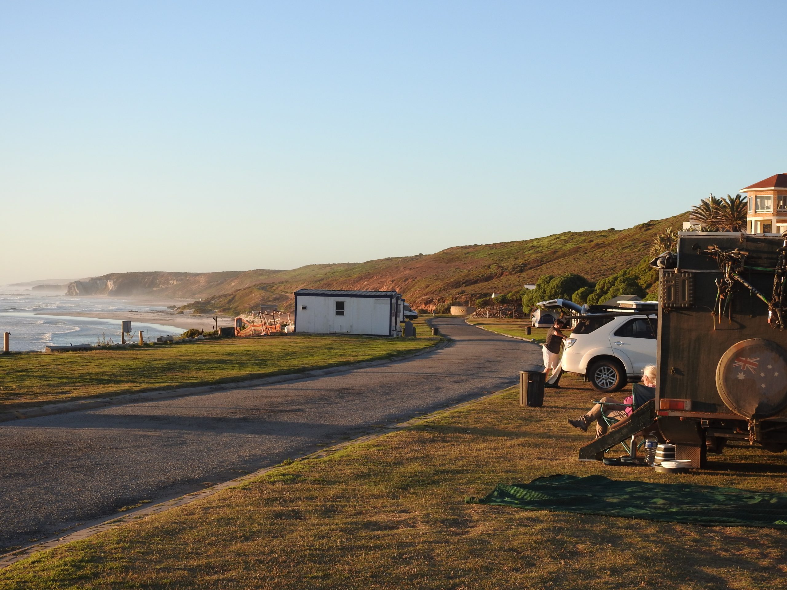
Campsite at Strandfontein
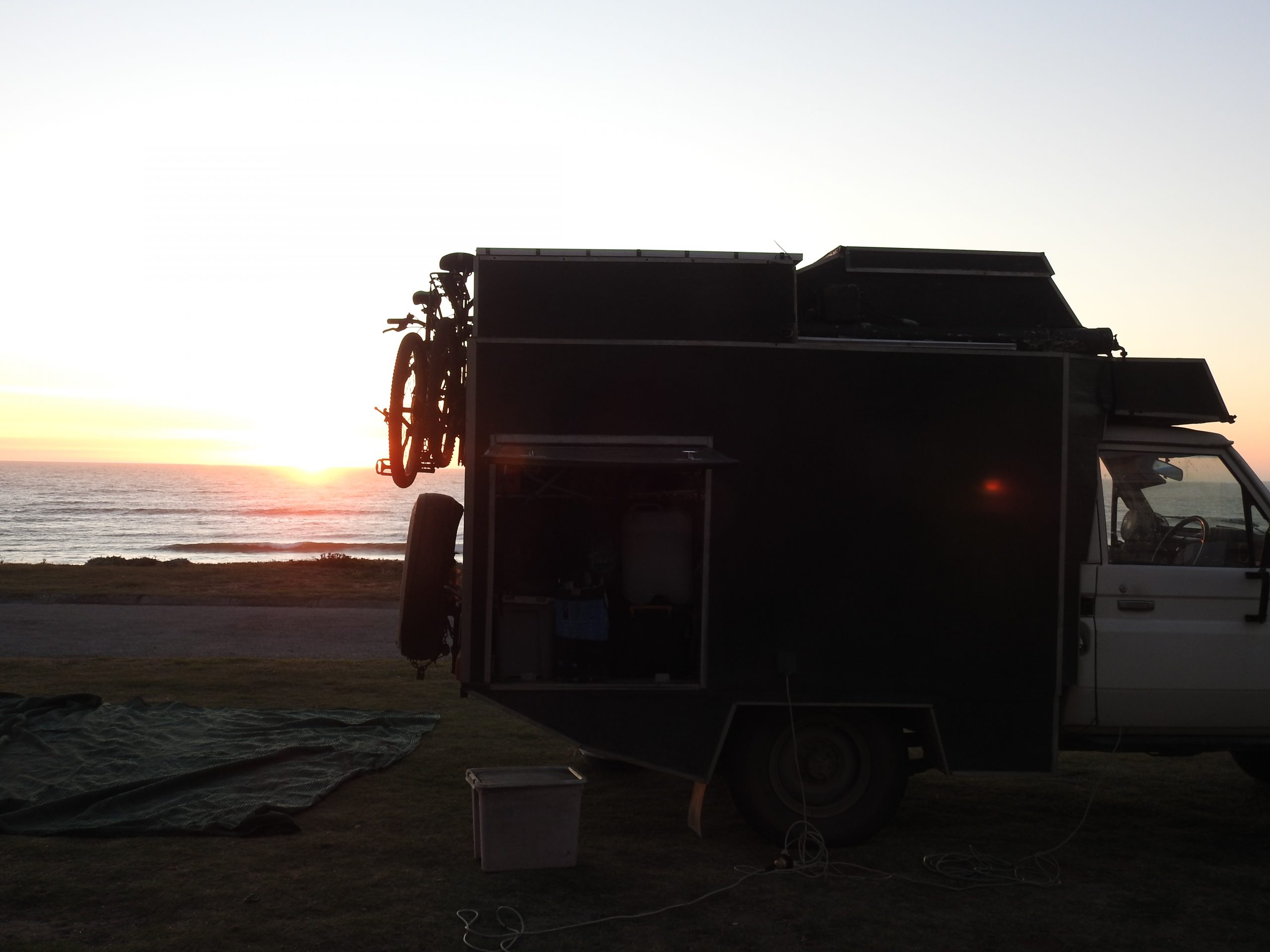
Sunset at Stranfontein


Stellenbosch to Ou Skip Cape Town

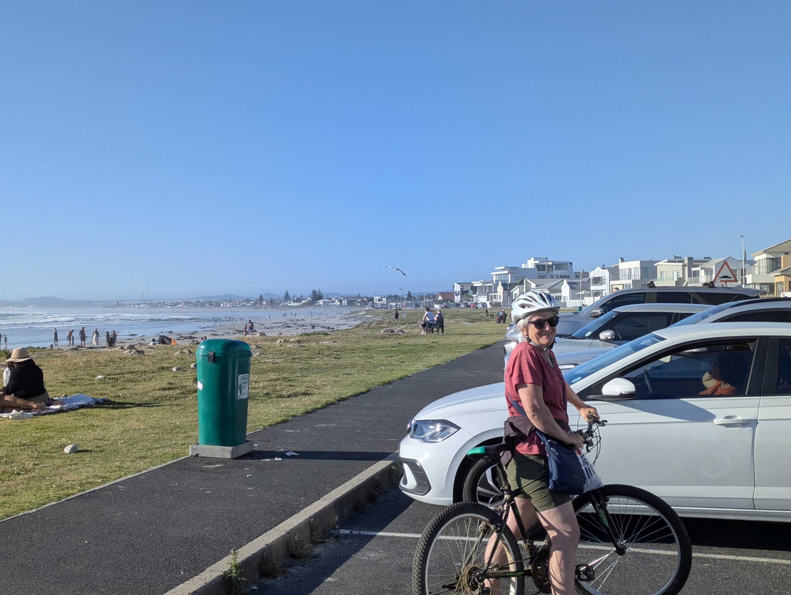
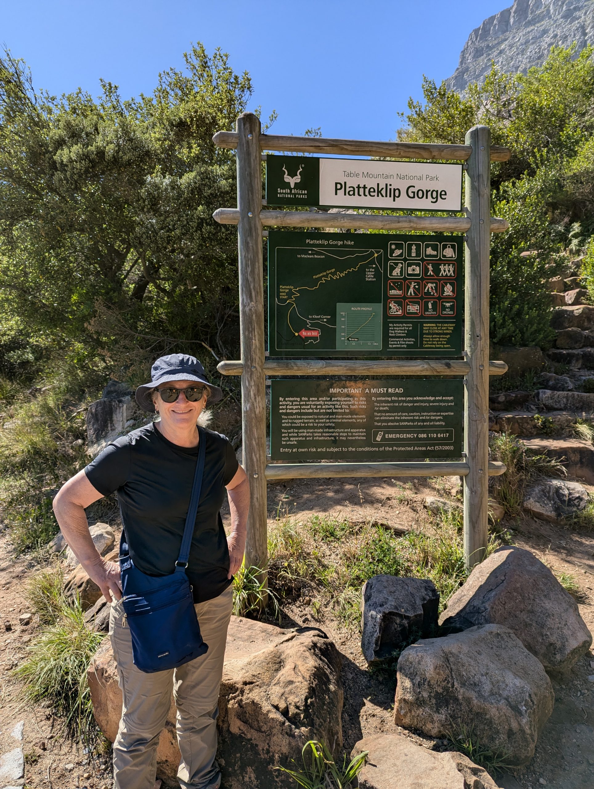
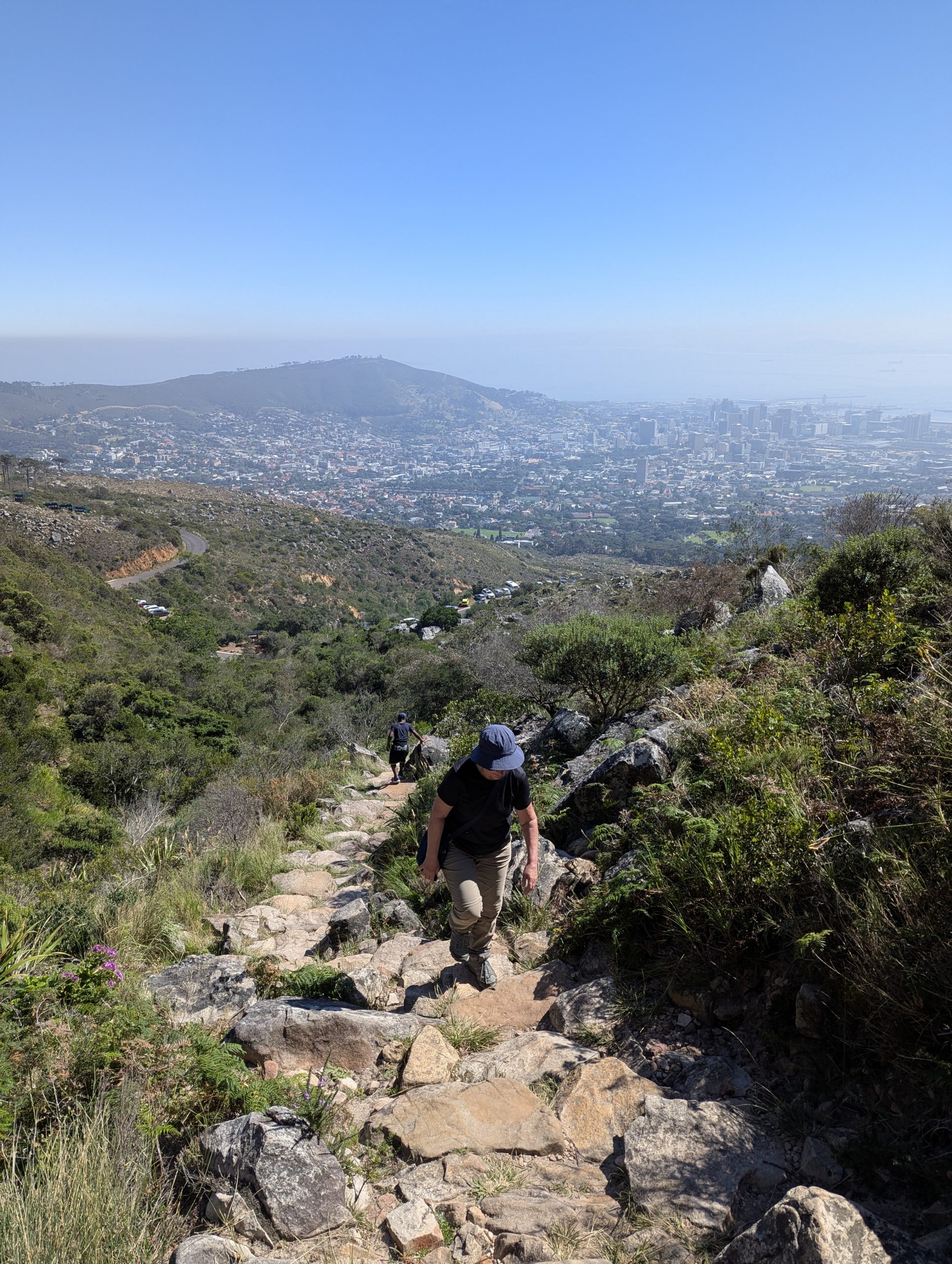
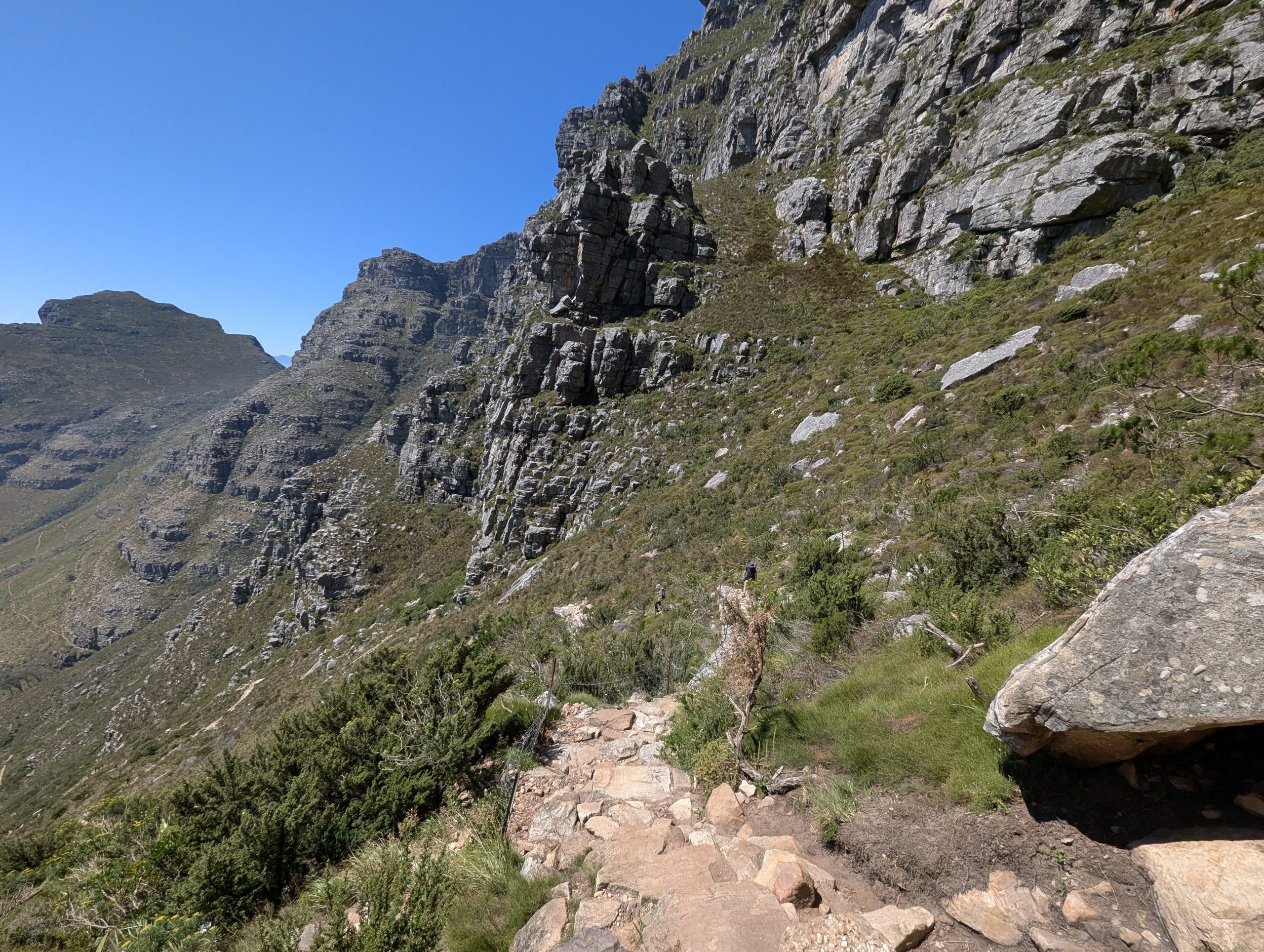
We left the Swiss Club at Stellanbosch late because we were trying to dry clothes. Ou Skip a campground 31km north of Cape Town was our destination. Once we settled in the campground we got the bikes off and rode 3km south along the esplanade. The next day we took an Uber into Cape Town and climbed to the top of table mountain. After that we had lunch at Victoria Wharf. Then back to Ou Skip. Next day we again took an Uber back into Cape Town and during a much cooler day wandered around central Cape Town.

Riding along the Esplanade northern beaches of Cape Town. Note that even though its a warm day hardly anyone is in the very cold water
At the bottom of the walk up Table Mountain
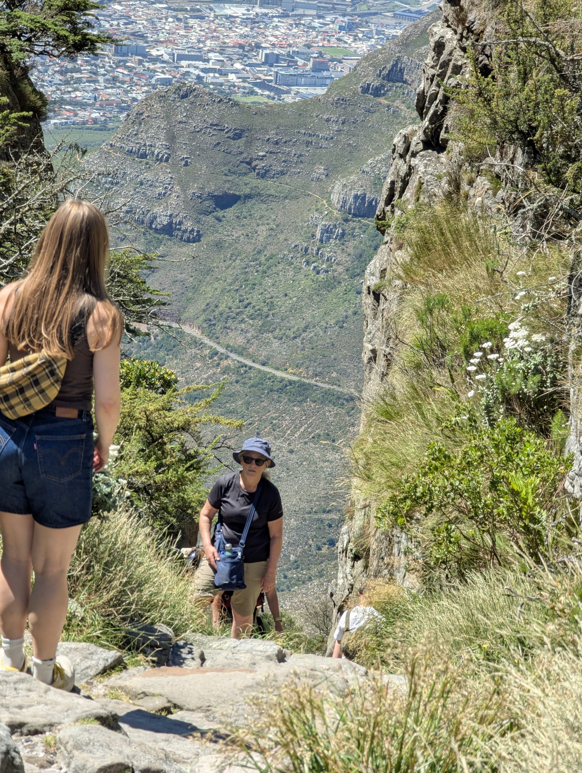
The views over Cape Town as we climb
It gradually gets steeper zig zagging back and forth
Almost at the top
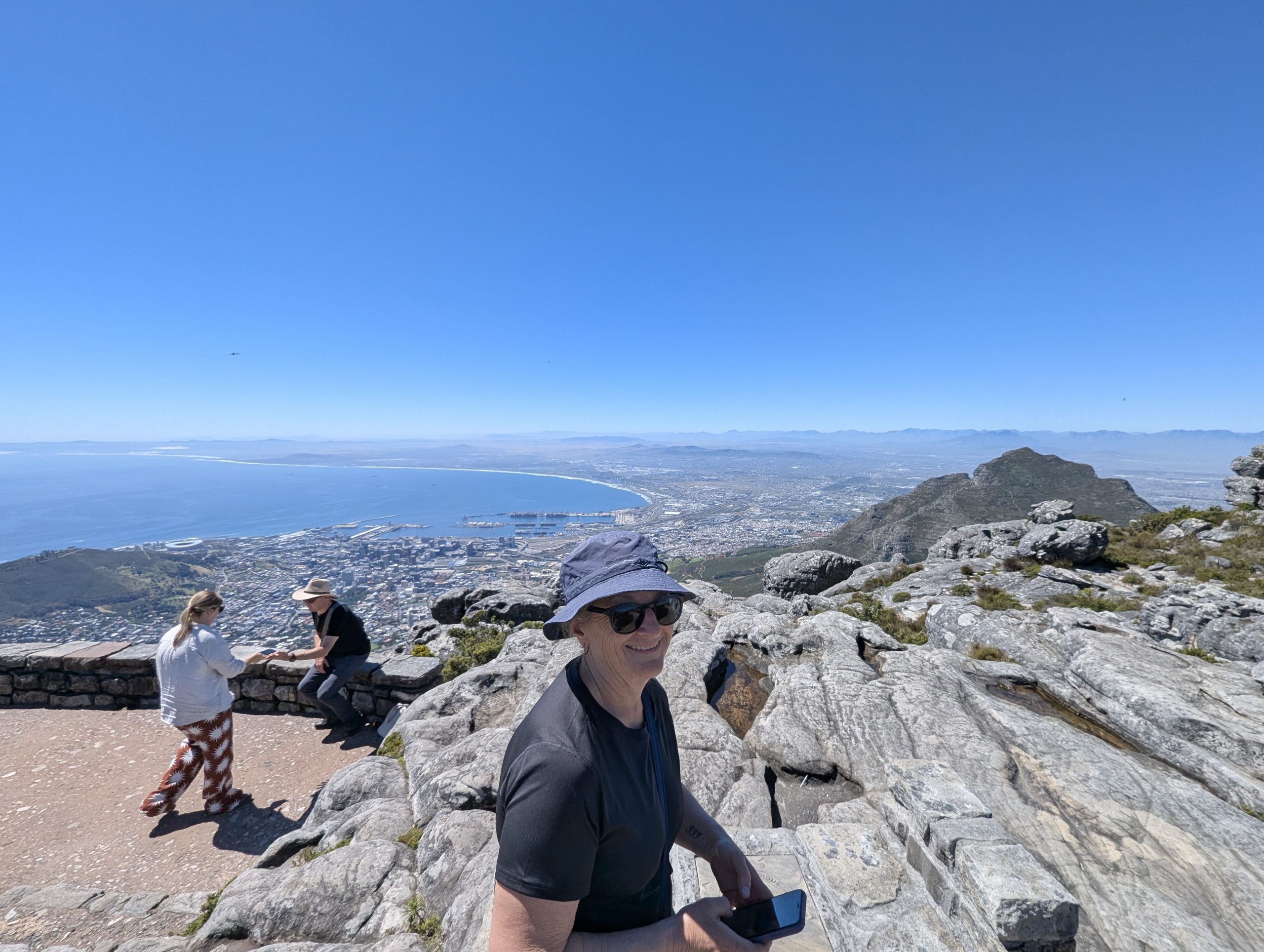
At the top looking north over Cape Town


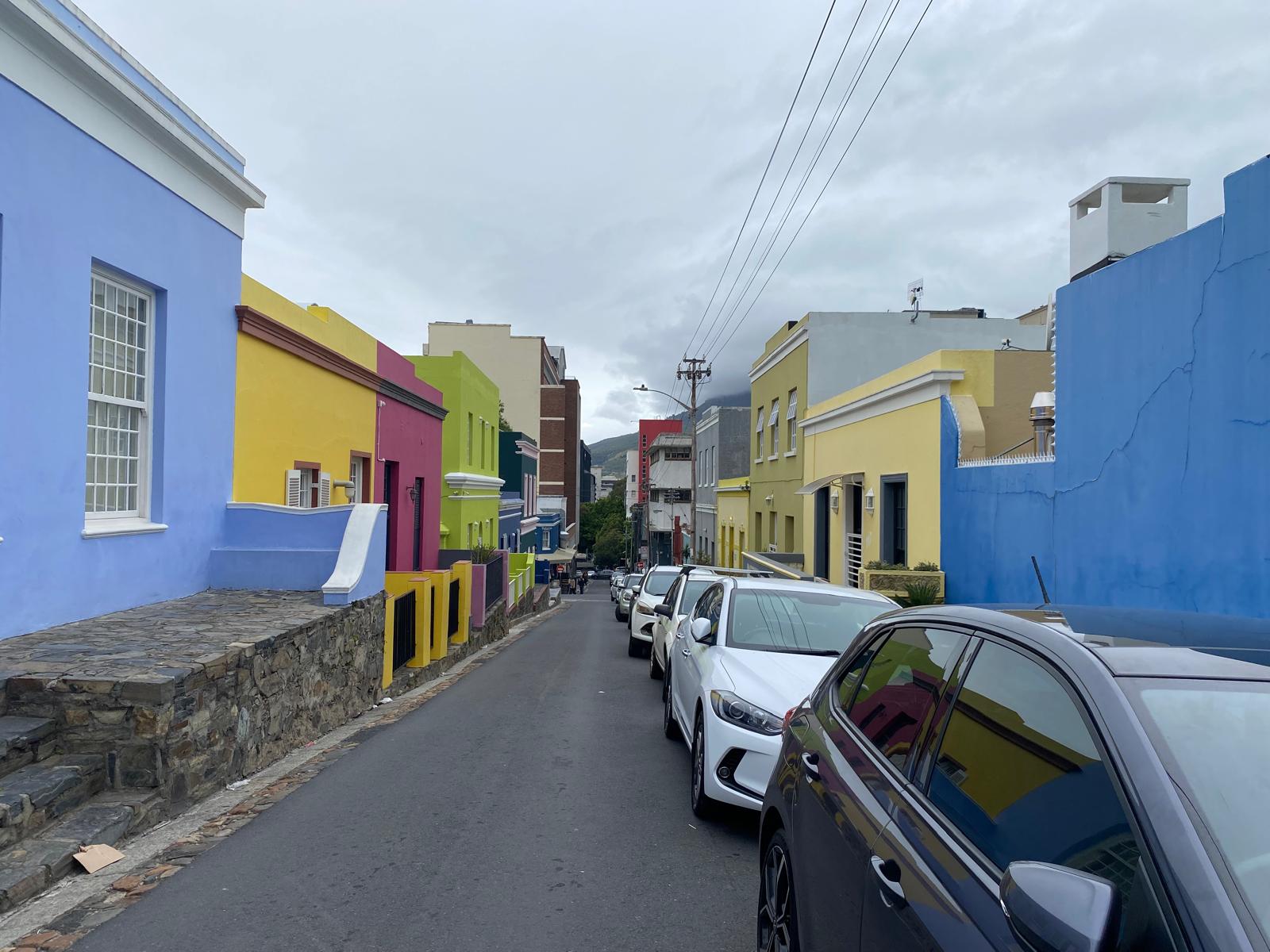
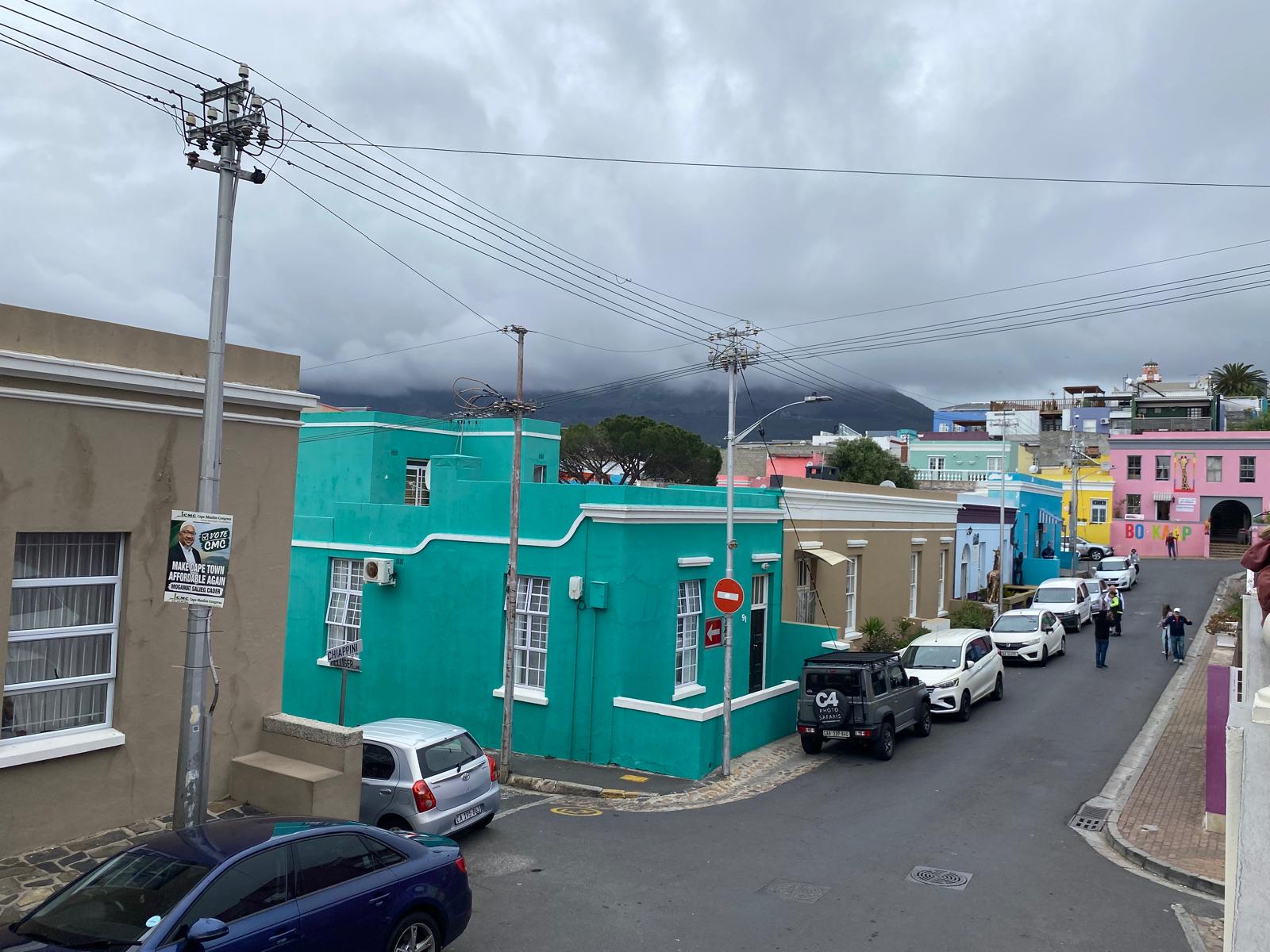
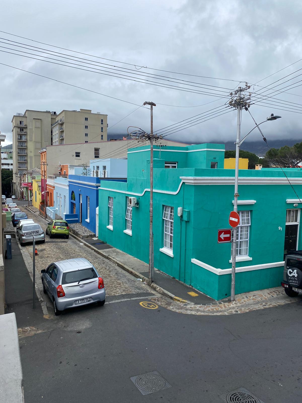
The colourful houses of Bo-Keep Cape Town
Bo-Keep
Bo-Keep

Gourits River to Stellenbosch

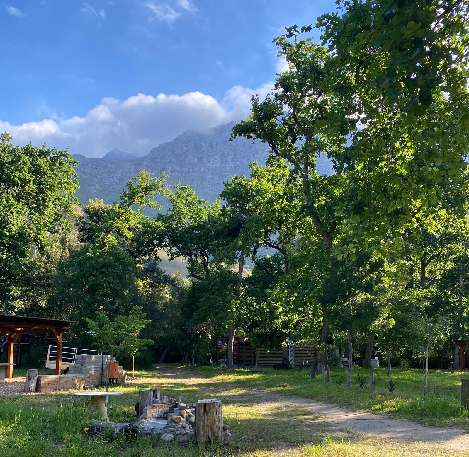
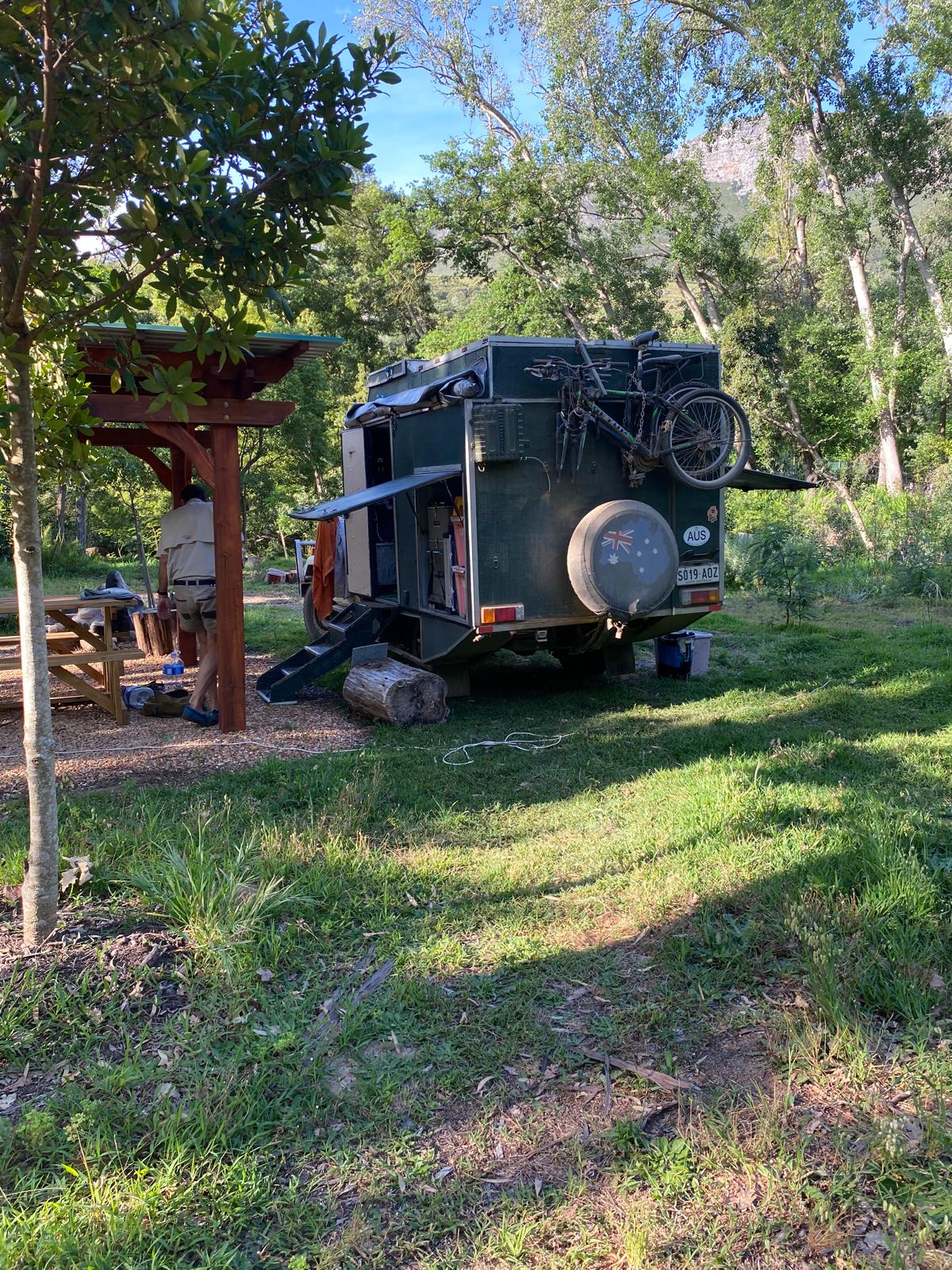
We got going early because we had a long run into Cape Town or more specifically Stellenbosch out of Cape Town. Cape Town has nearly 5 million people and notoriously bad traffic. We didn’t think we could get to our destination north of Cape Town in one day, so we were going to stage at a campground out of Stellenbosch for one night then move on the next day. The N2 got busier and busier as we got closer to Cape Town. It was dense traffic through Stellenbosch, Friday evening . We arrived at the Swiss Social & Sports Club later in the afternoon about 10km west of Stellenbosch. It was a surprisingly rural campsite. It had a tested good water supply so we filled up about 60 litres of water for later on. It was a quiet nights camping.

Swiss Social & Sports Club
Camped at the Swiss Social & Sports Club

Storm River to Gourits River

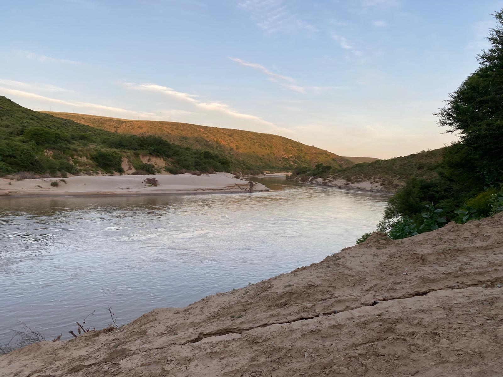
Our waterfall hike at Storm River took us until 12 noon to complete, after that it was drive as far as we could towards Cape Town. About 4:30pm we got to Gourits River eco-camp. It was in a valley that you come to after traversing plains. It was a great location, very peaceful. We would have loved to stay a few days but we had to push onto Cape Town.

Gourits River with its extensive sand
Camped next to the river