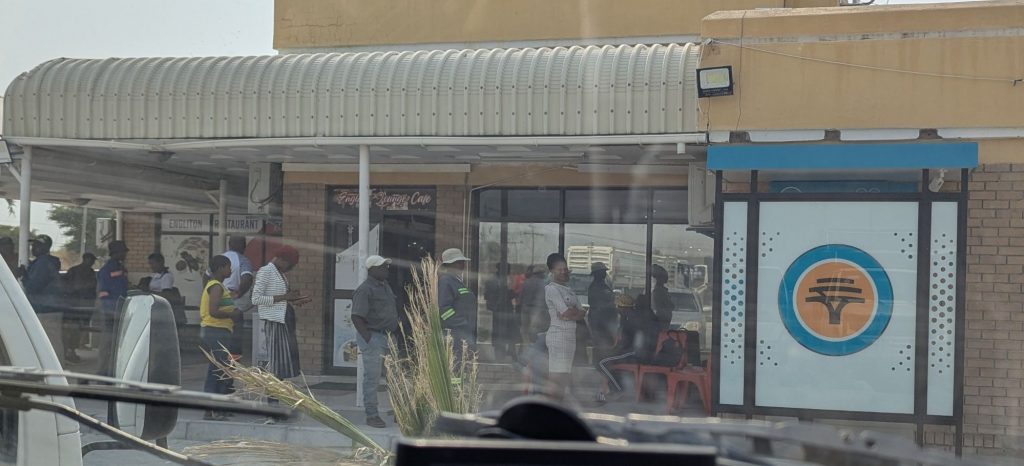
Planet Baobab was a great campsite. I managed to charge some things having 240v power. It was about 90km to Nata. Along the road, maybe 10km out of Nata I got stopped at a road block. It was Dept of Wildlife who were checking for poachers and other illegal activities. They said it was a bit common in this northern more remote part of Botswana. Then into Nata where I drove first to the Choppies supermarket. There I was approached by a guy who wanted to regas my airconditioning. He was enterprising, didn’t believe I didn’t have airconditioning, and I had to lift the bonnet to prove I didn’t. He then wanted to sell me tinting, but I told him I wasn’t interested, I could only do the side windows and they spend most of their time part way down. I got supplies at Choppies, but there was still stuff I couldn’t get. I got some apples, they were good, also bananas, but they are just so ripe,it’s such a long journey from South Africa. I looked at the chocolate donuts, but I have had bad experiences with chocolate donuts before in Botswana. I then headed to a water supply place to top up my drinking water. It was $A0.10 per litre, so I filled up my 20 litre container.
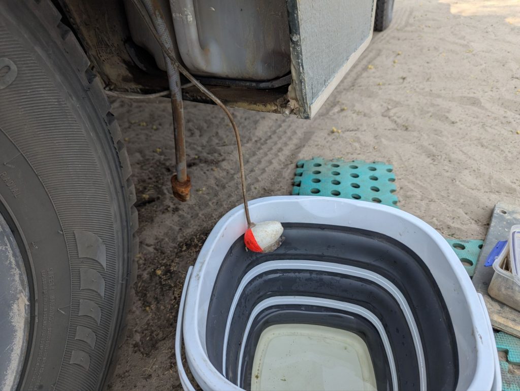
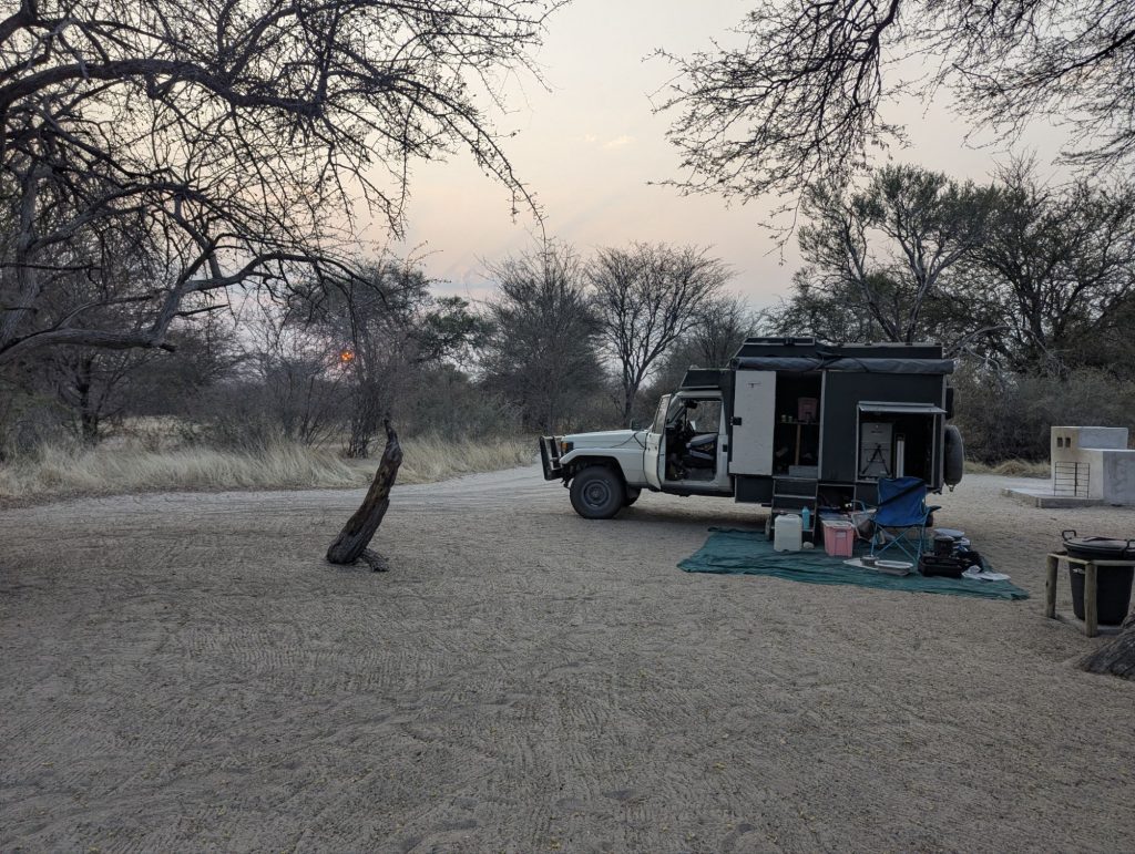
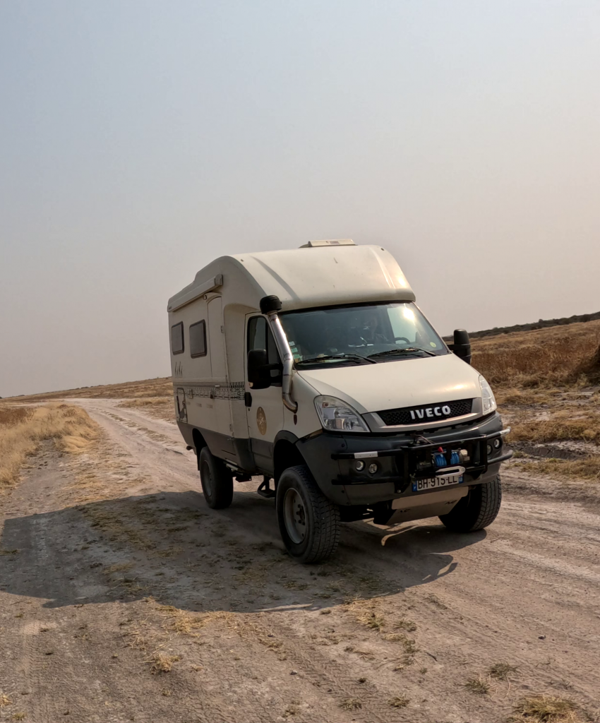
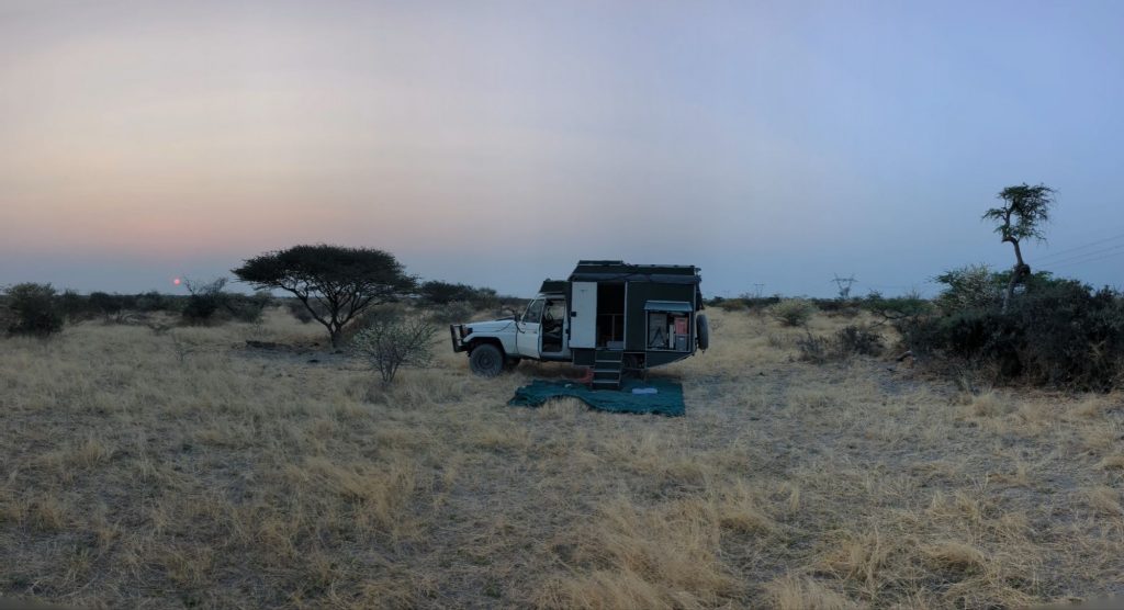
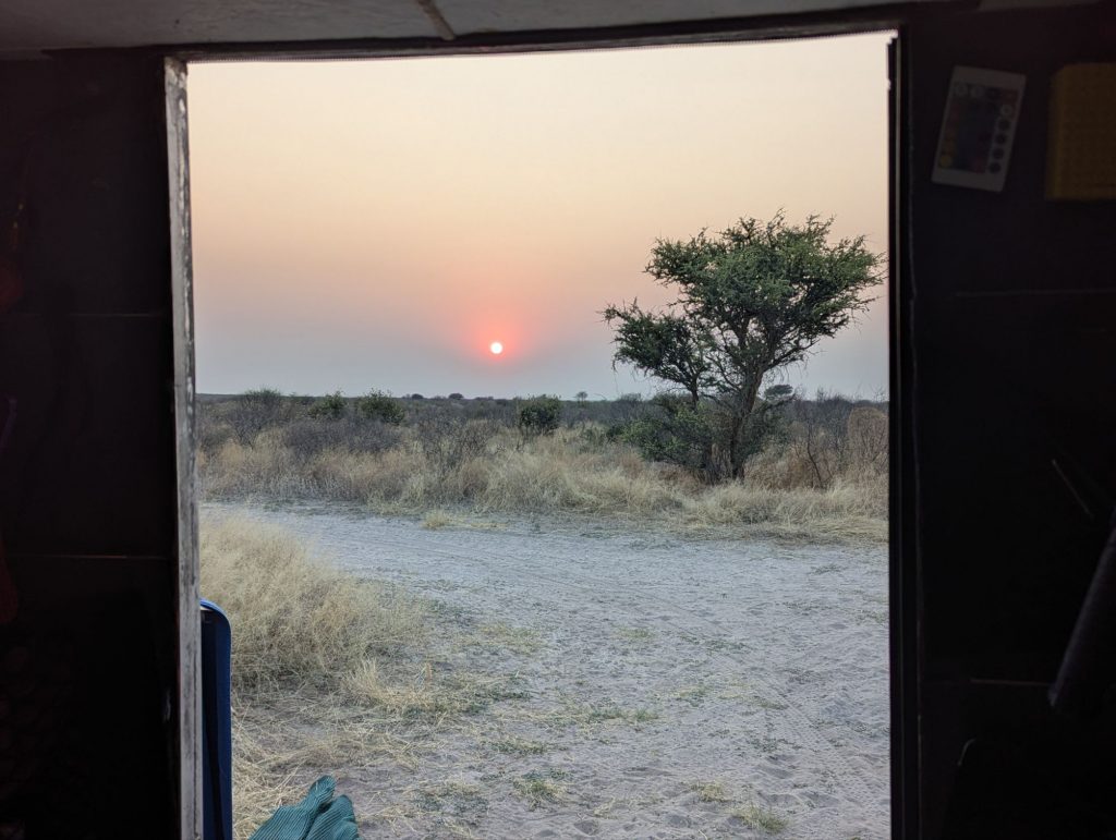
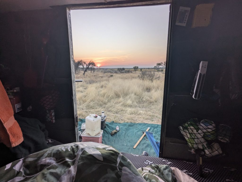
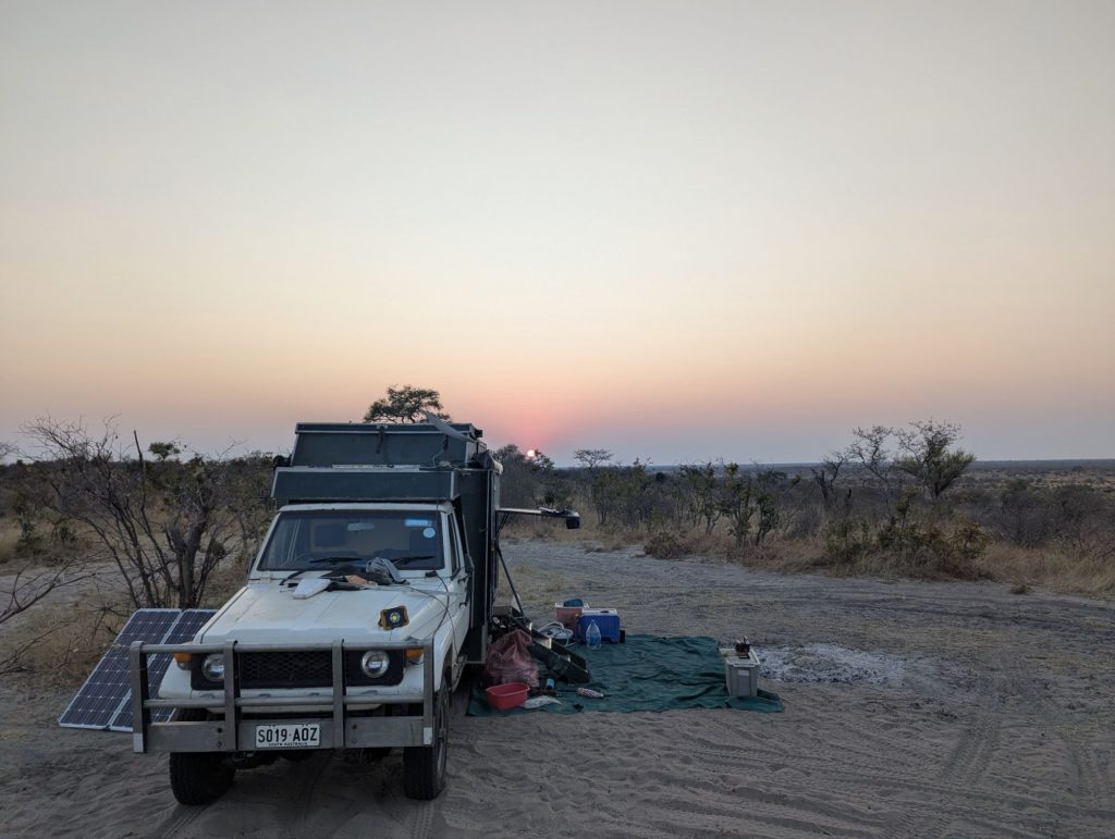
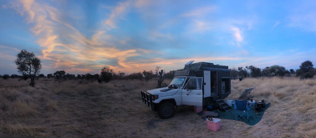
Then it was a drive up to the northern part of Nata to Eselbe camp. It is a nice campsite, Rupert who runs it is a nice guy. It’s camping and backpackers, it’s a bit hippy. I did some repair stuff. I am trying to find ways to cool the camper at night. The camper gets to 39C and it retains its heat, so I have brought more fans this time to try to blow cool air into it after the sun goes down.
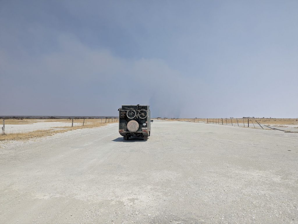
Next morning I paid Rupert and he gave me some good information on how to get to Kukonje Island, and that I should not deviate from the main track. The pans are notorious for bogging people in incredibly deep mud. I had much trouble starting again, and maybe I am narrowing down the problem, maybe it’s those pesky fusible links again. South through Nata, with another quick stop at Choppies. Then south on the A3 with lots of road works. This is the difference between Botswana and South Africa. Botswana might have bad roads in places, but they seem to be doing something about it when in South Africa, almost nothing ever gets done.
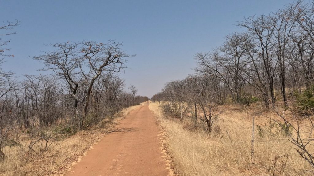
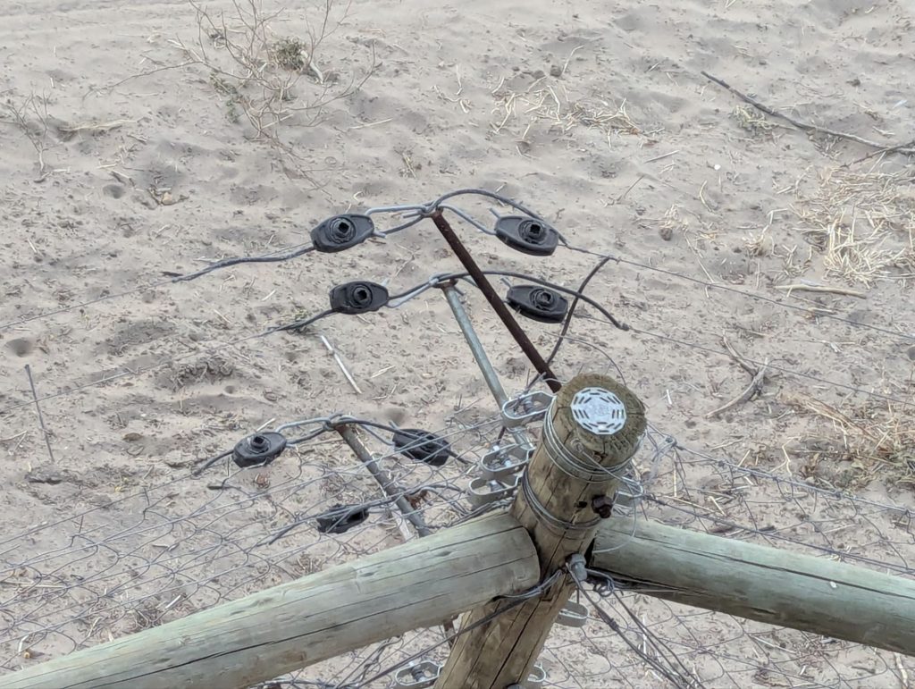
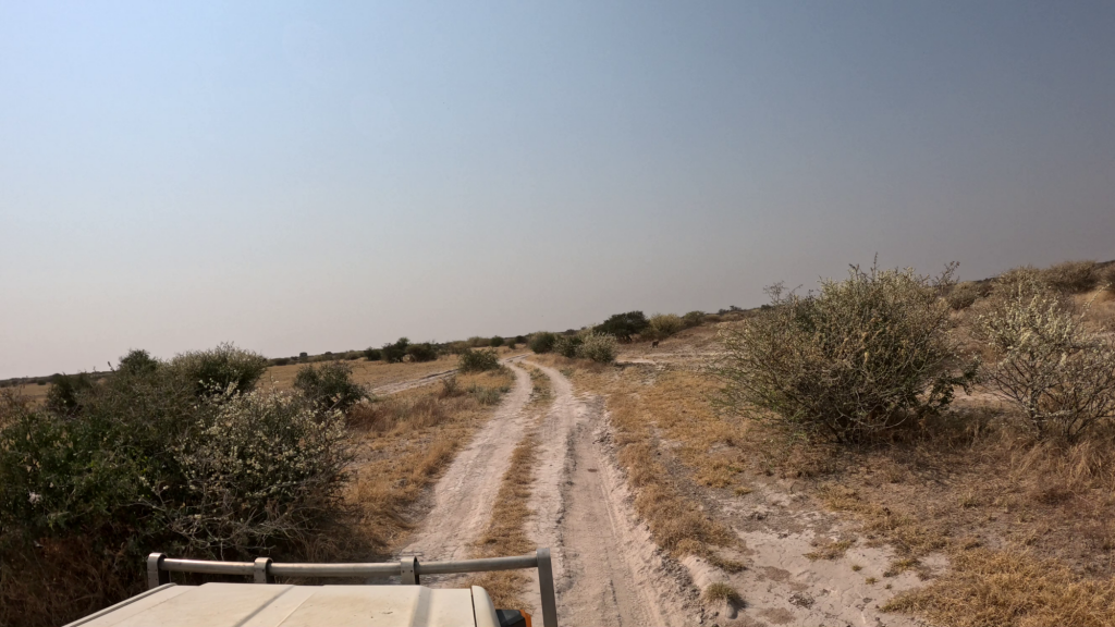
I got to the vet fence and then turned right. Rupert from Eselbe had warned me there might be some difficult creek crossing, but everything was dry. One was steep, but not hard to cross. It was about 50km along the vet fence. There are lots of vet fences in Botswana stopping cattle from some areas mixing with other areas and spreading disease.
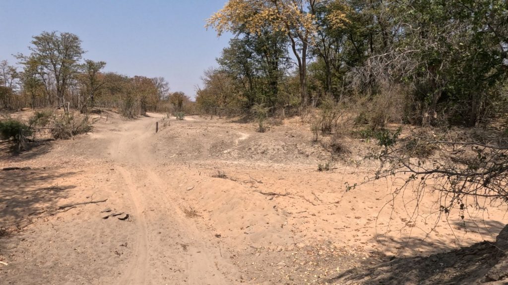
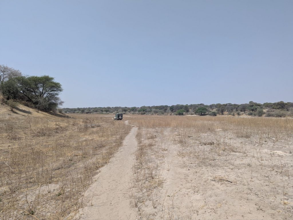
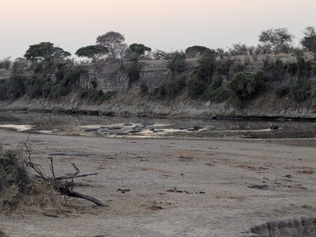
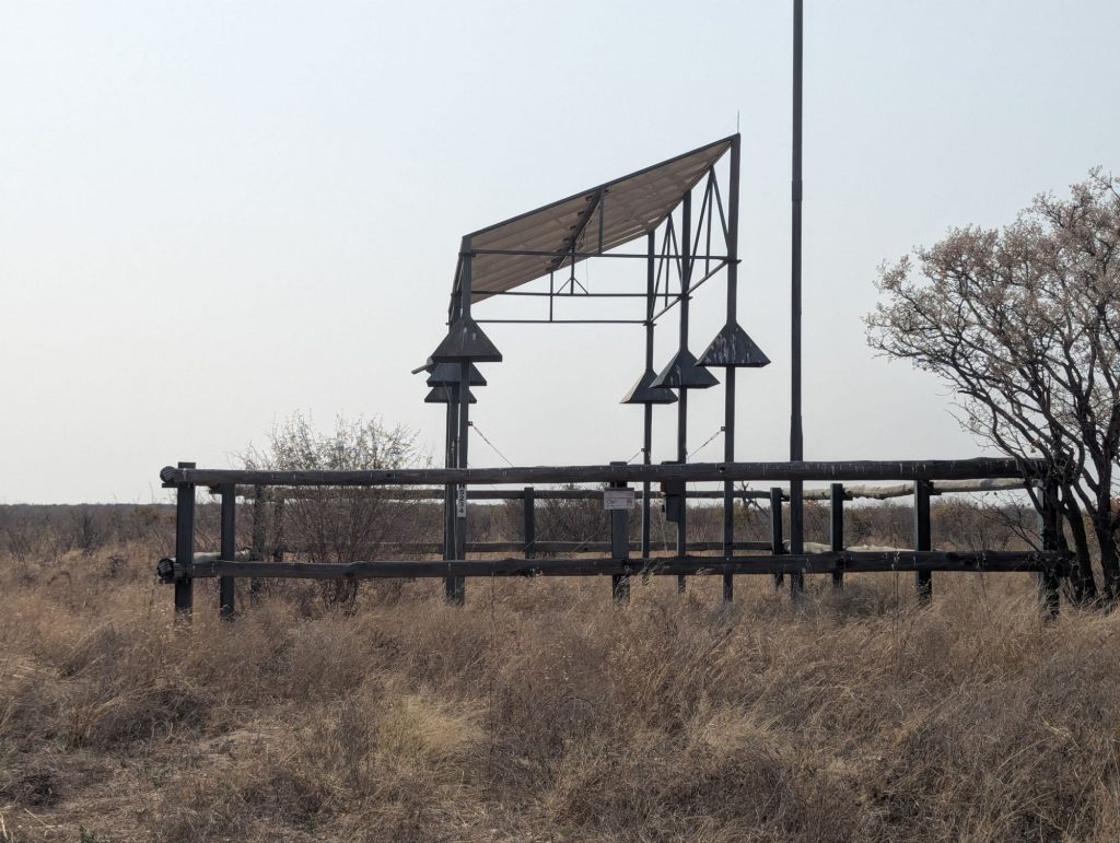
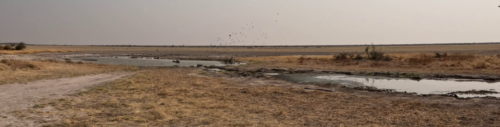
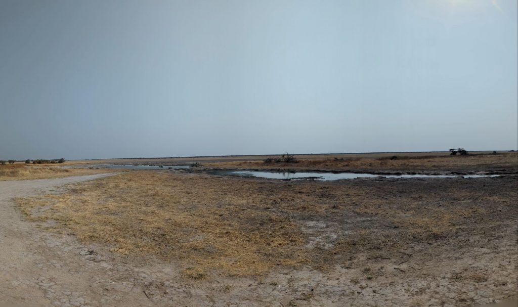
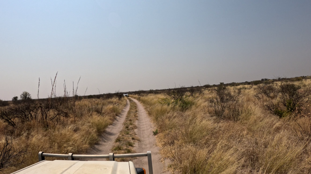
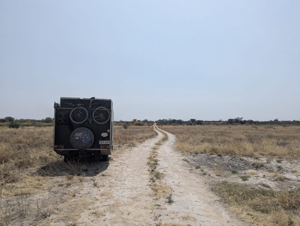
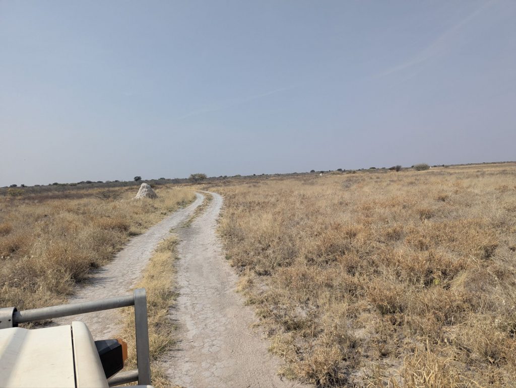
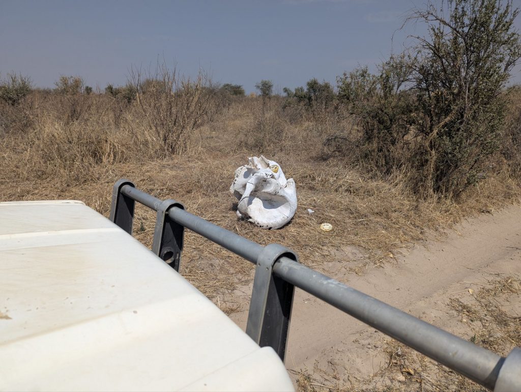
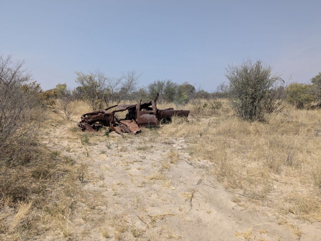
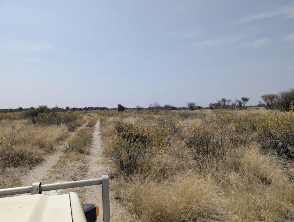
Eventually I got to the end of the vet fence headed south. About 5km along I had to turn right onto the track towards the pan and Kukonje Island. There was an abandoned vet fence control area with abandoned buildings. Onto the pan. It looked OK. However you could see where people had left the main track, they had started to sink into the pan. The vet fence continued onto the pan, but was falling down for large pieces of it. It was a 10km drive to Kukonje Island.
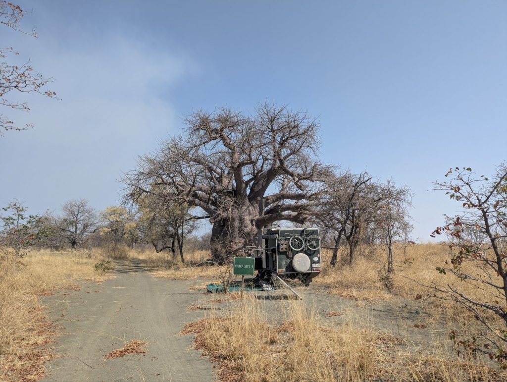
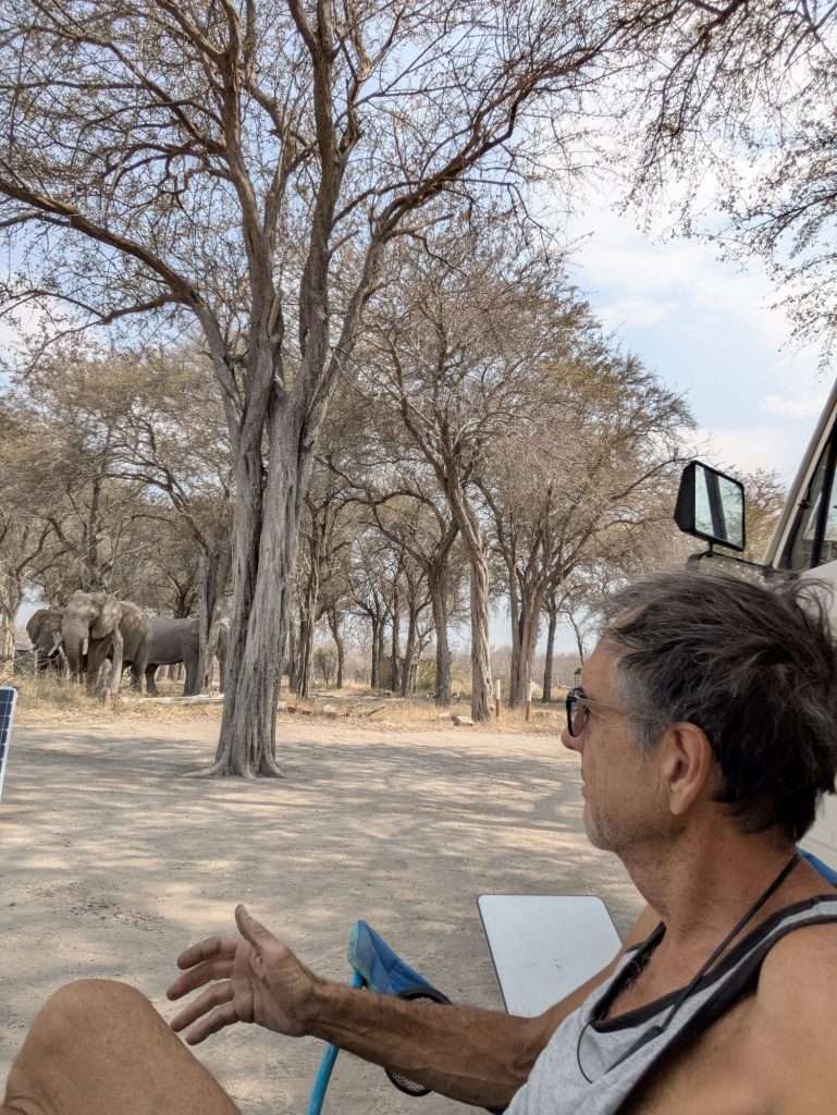
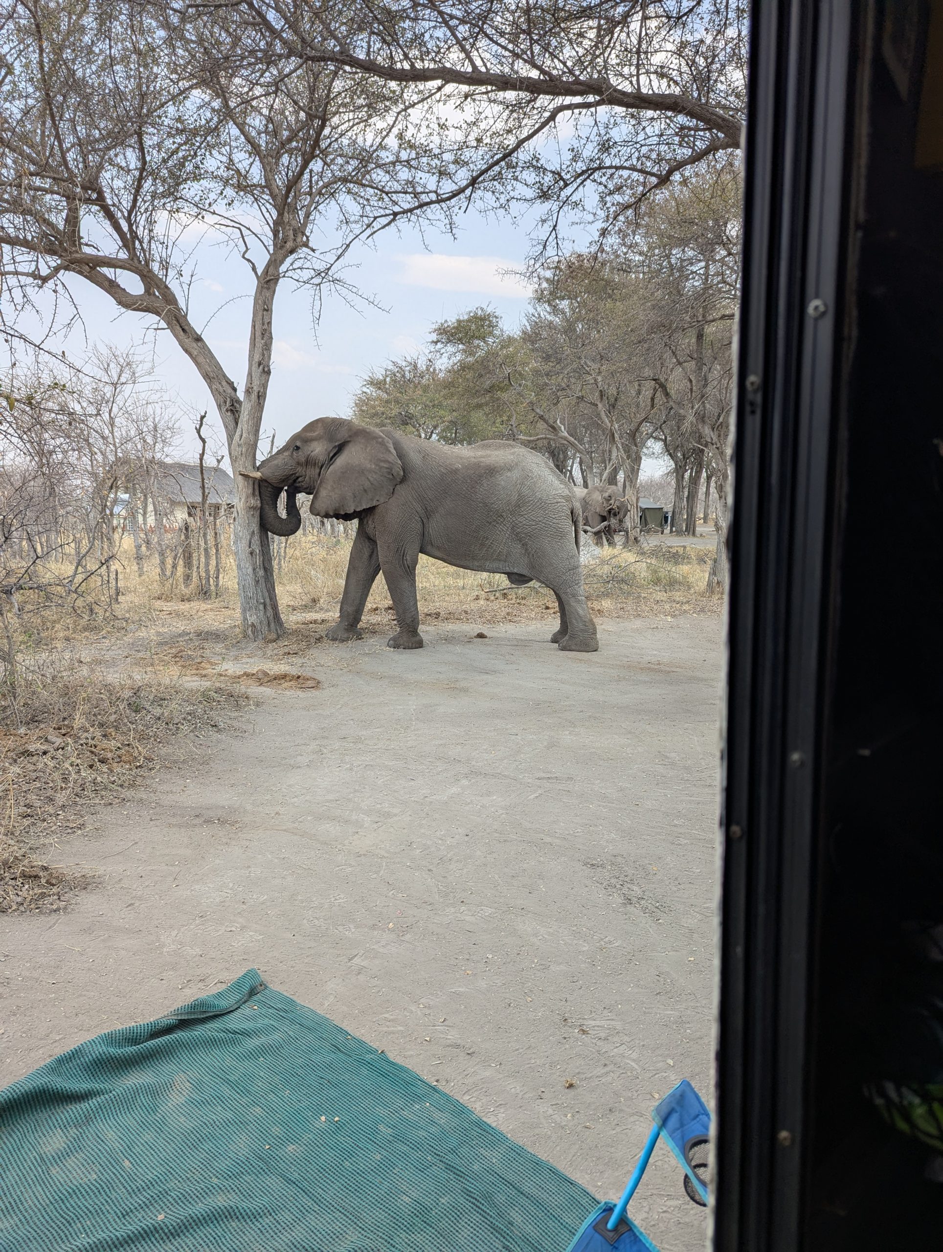
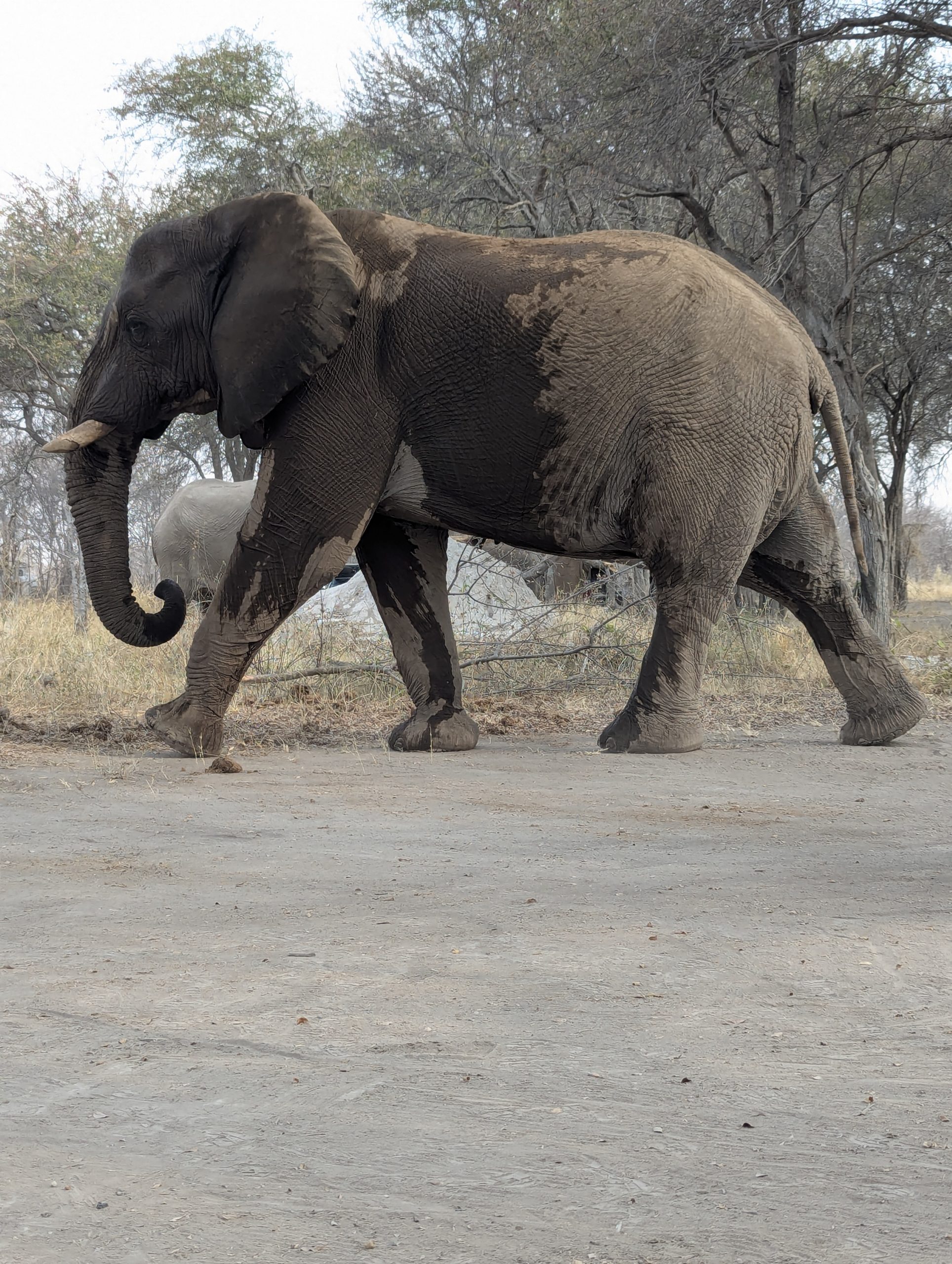
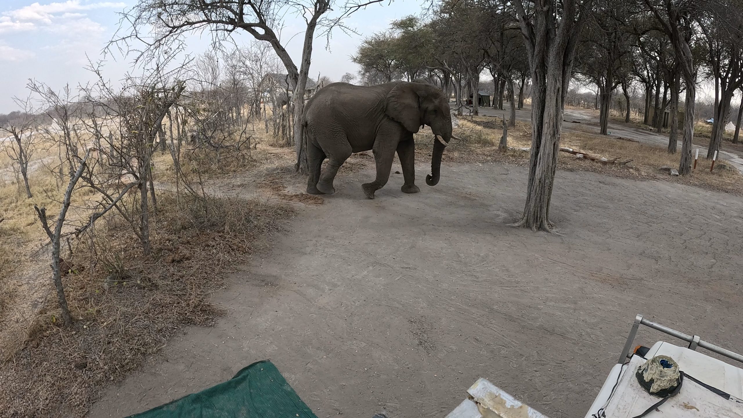
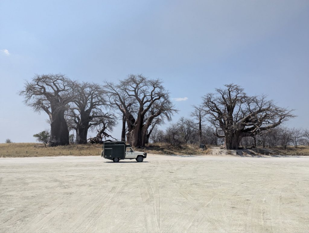
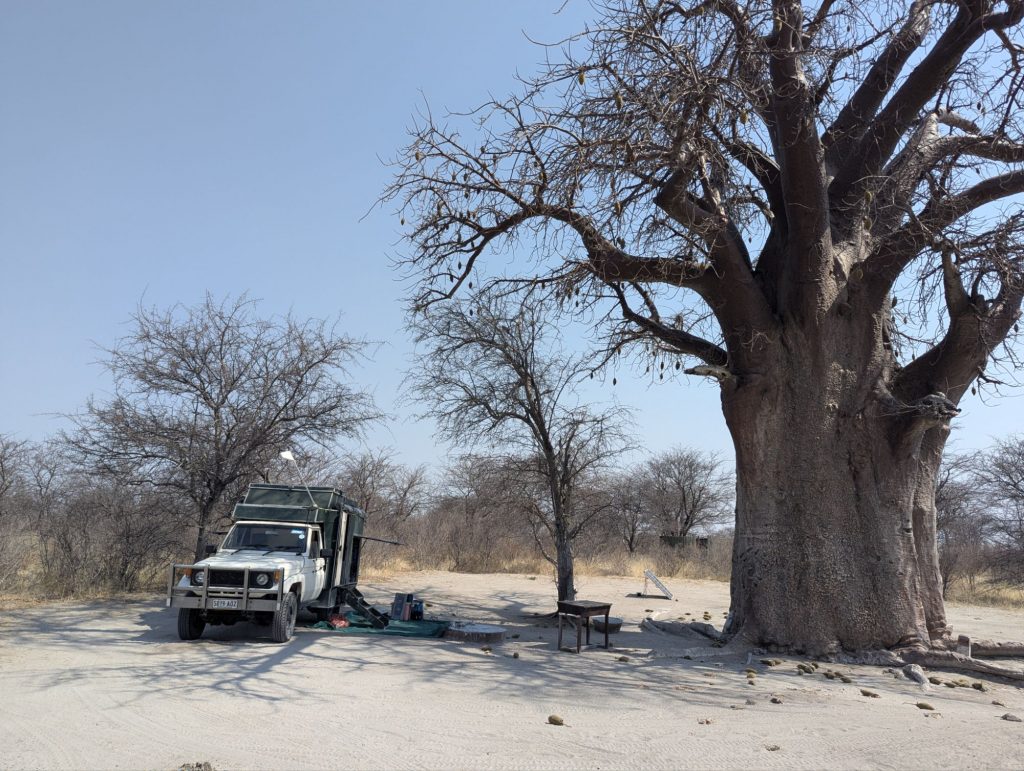
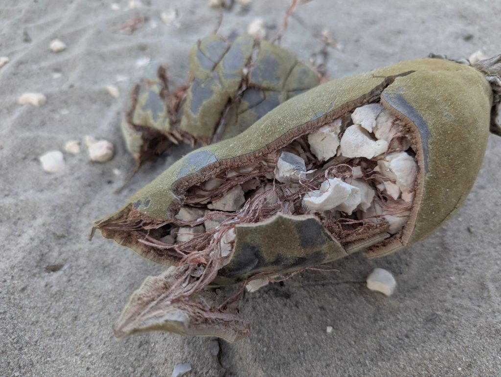
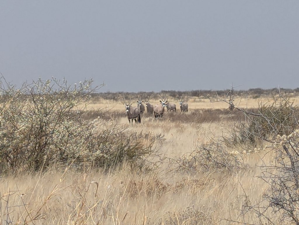
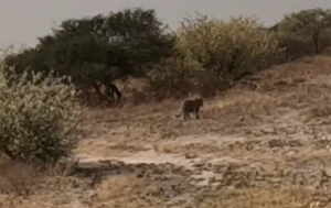
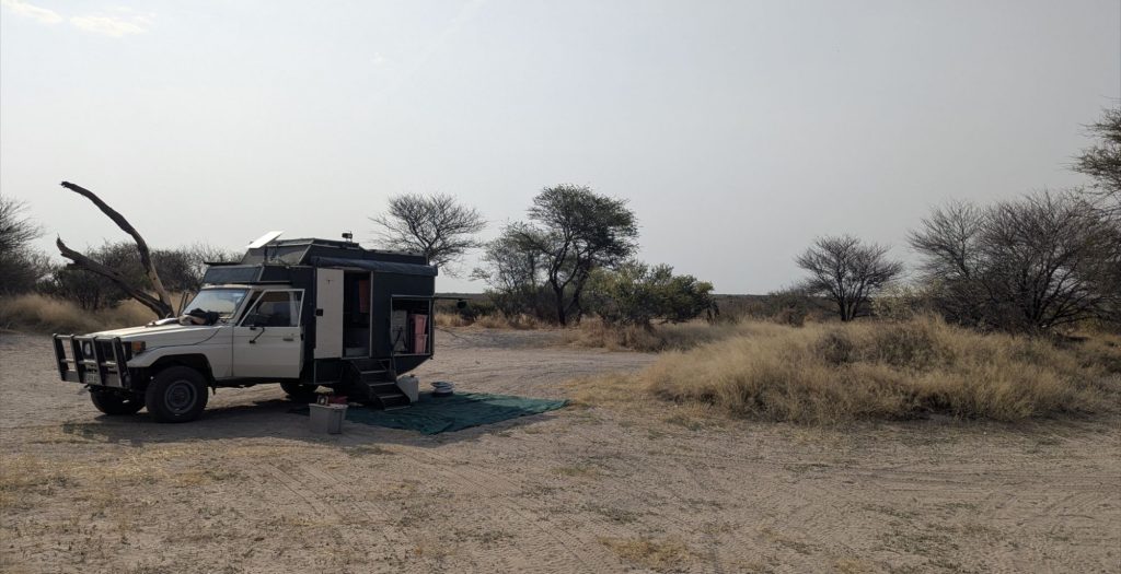
When I got to the island I found it had been a park with rangers and designated campsites, but it had all been abandoned. I passed a camper at one campsite (I had not seen anyone else for an hour or so). I continued past and went to campsite 4 near a large Baobab. The flies are a bit thick around here, the only animals on the island I think are cows.