Tsodilo Hills Botswana to Nunda River Lodge Namibia

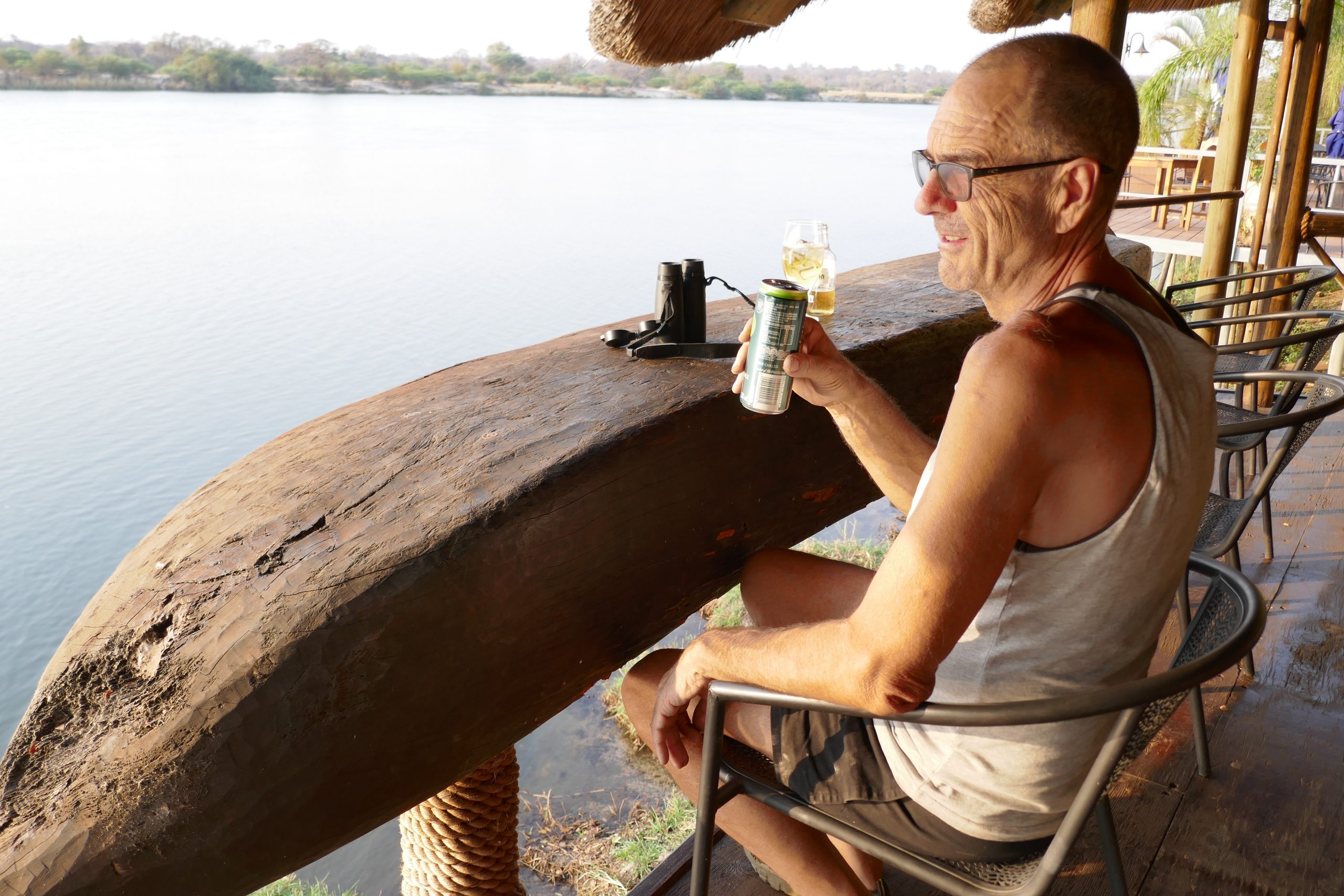
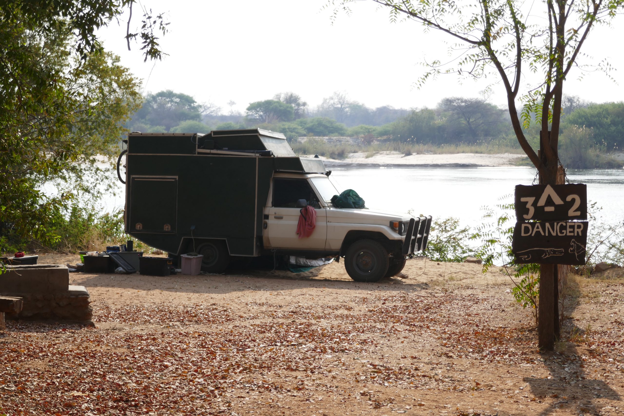
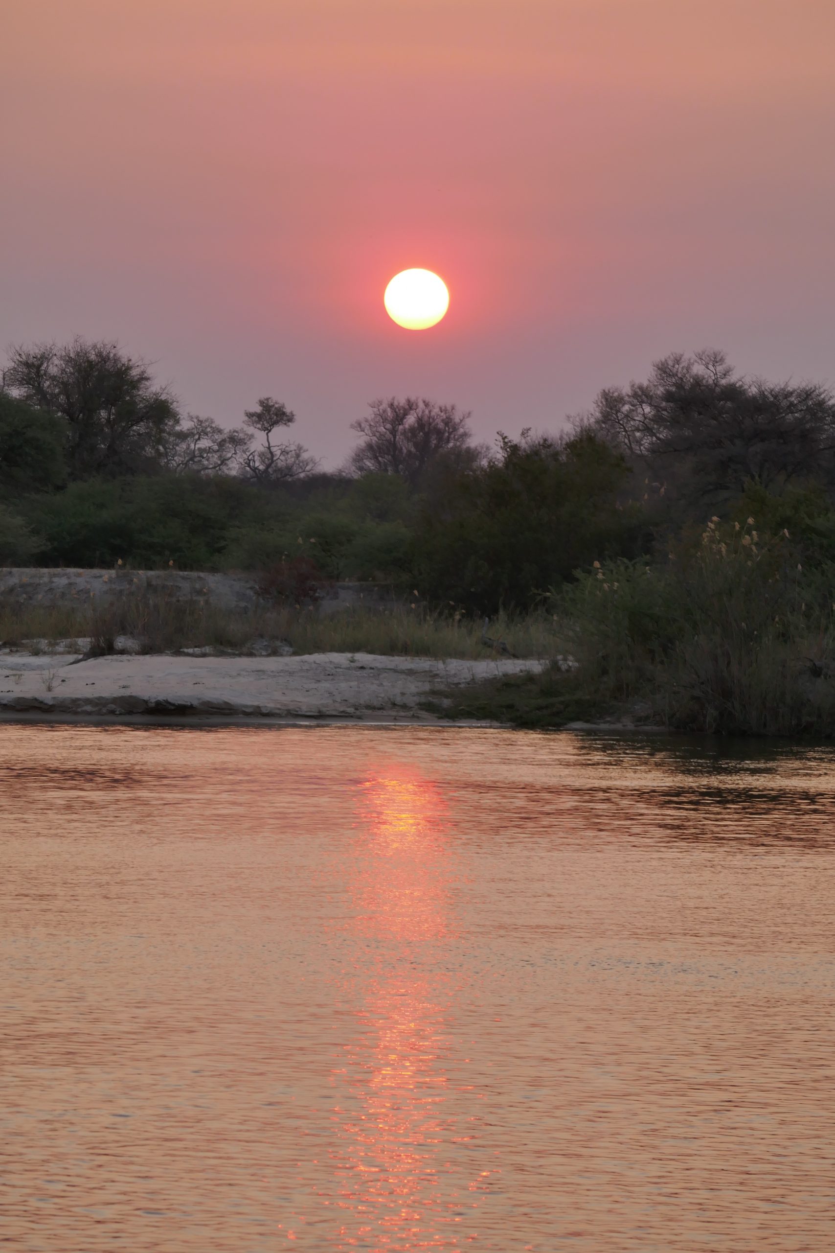
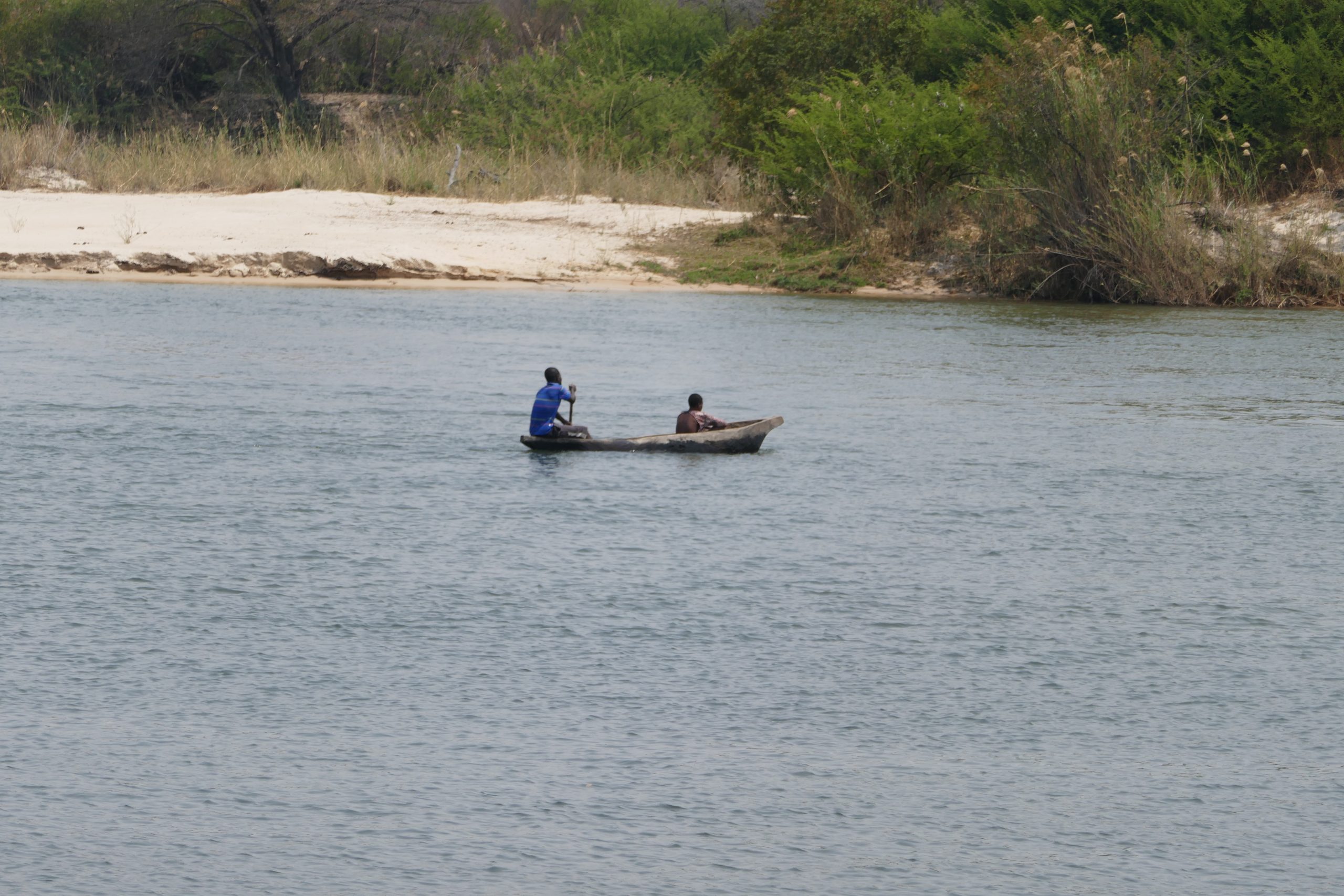
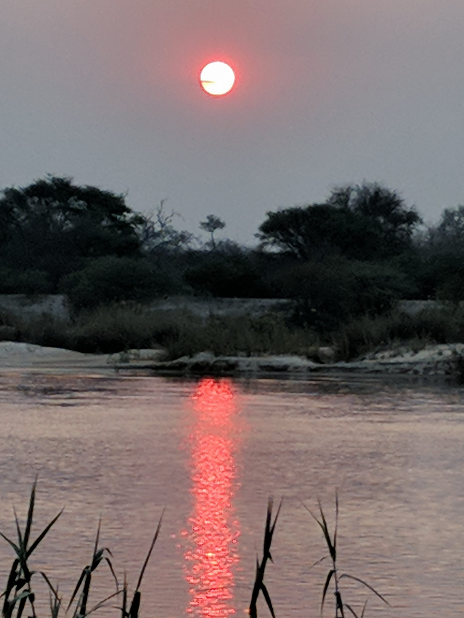
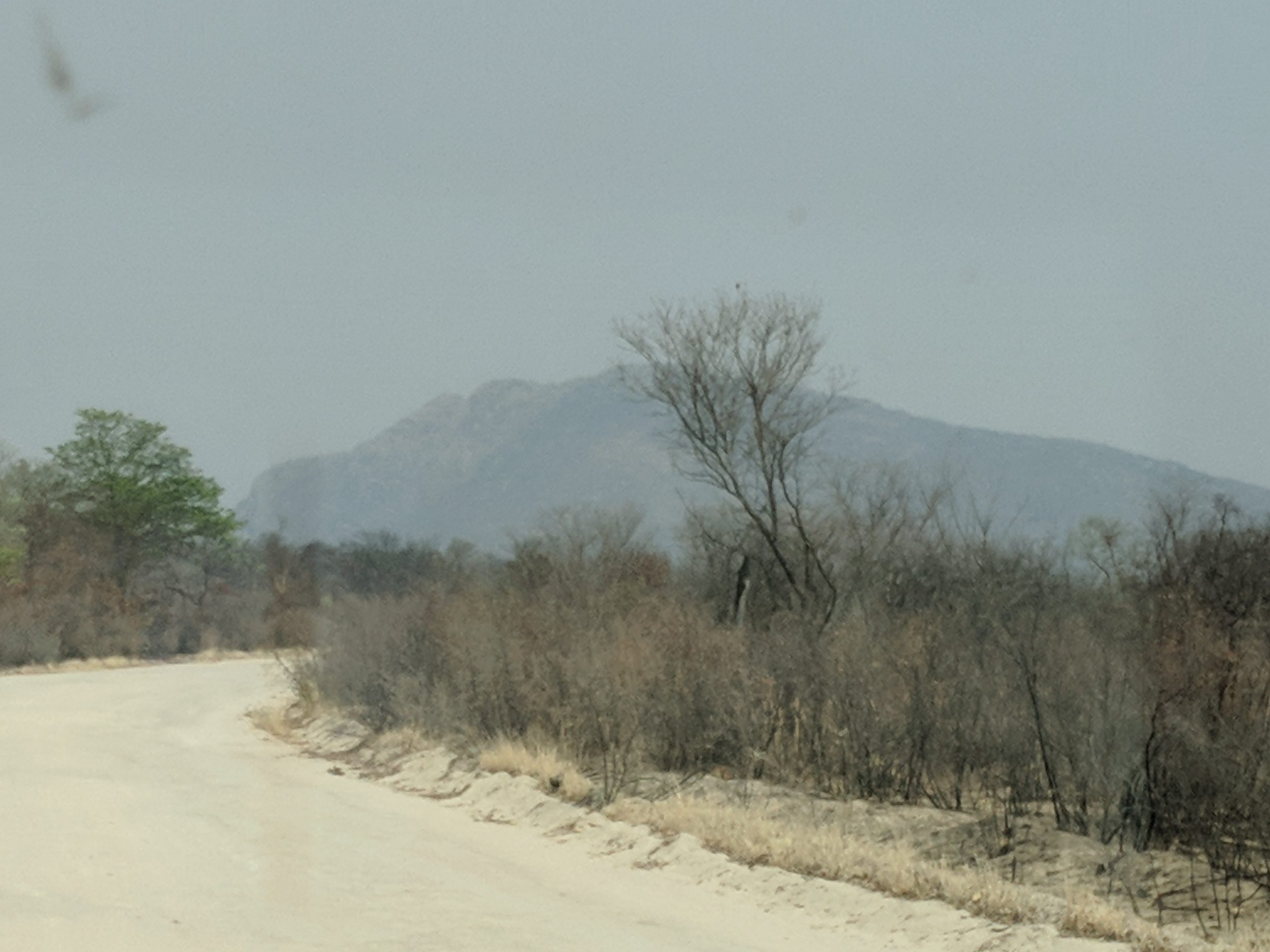
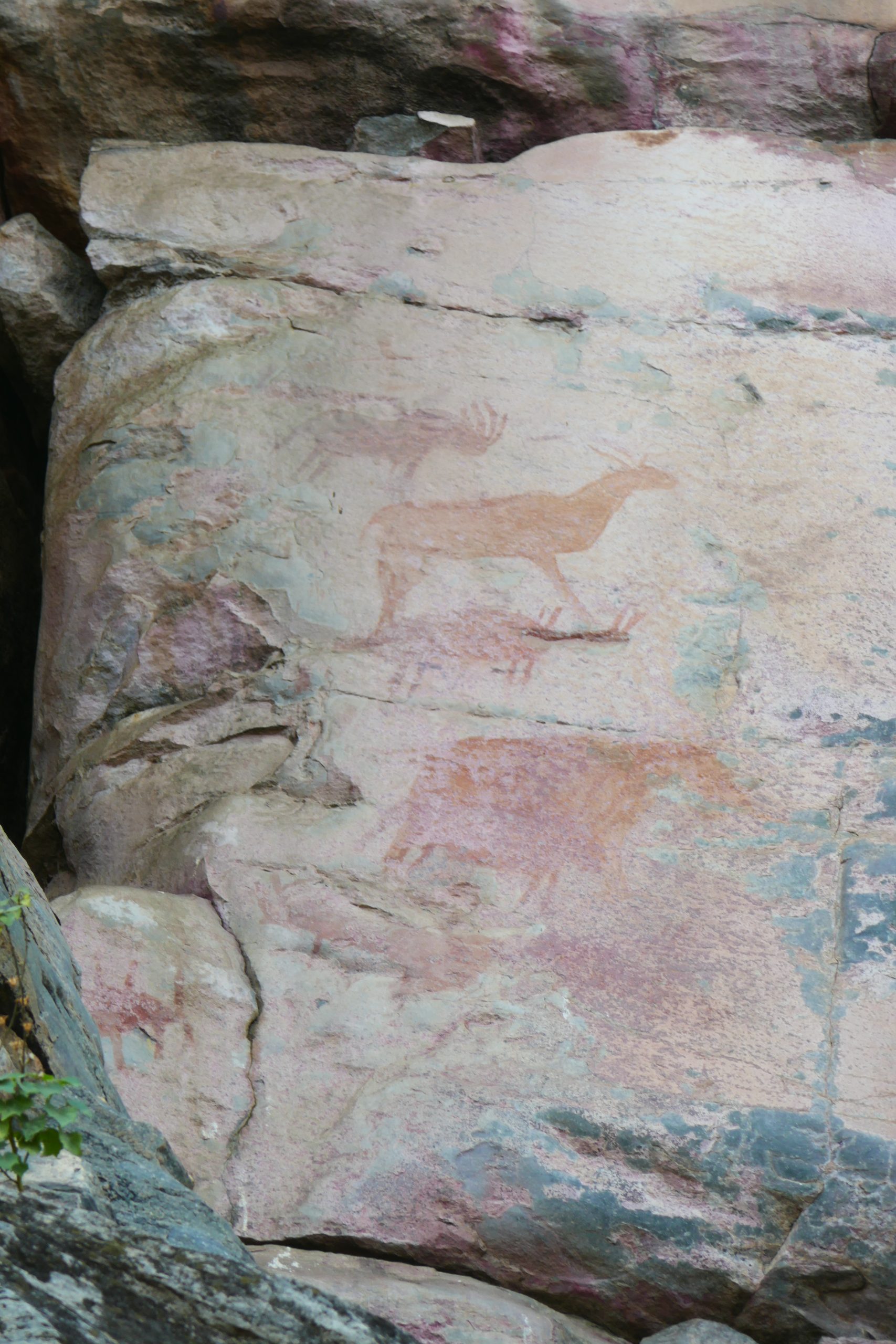
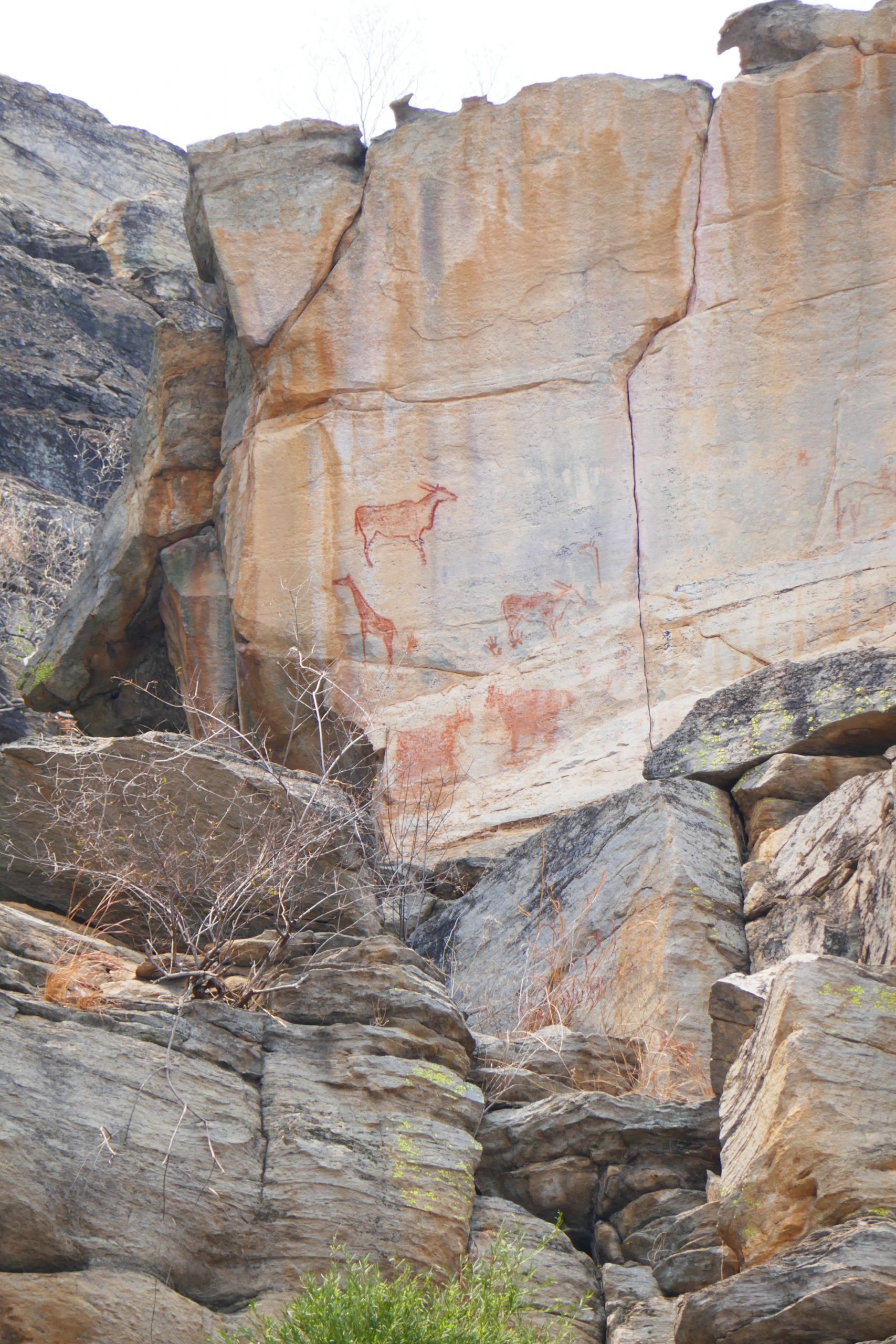
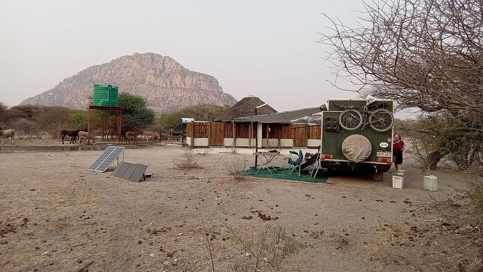
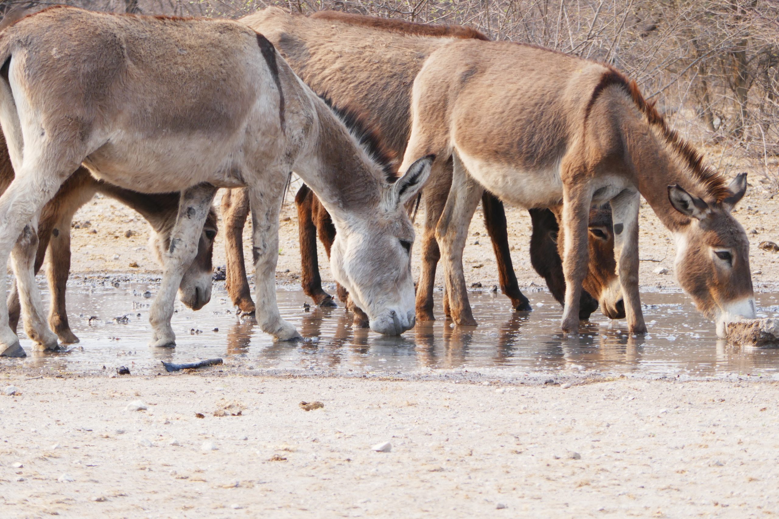
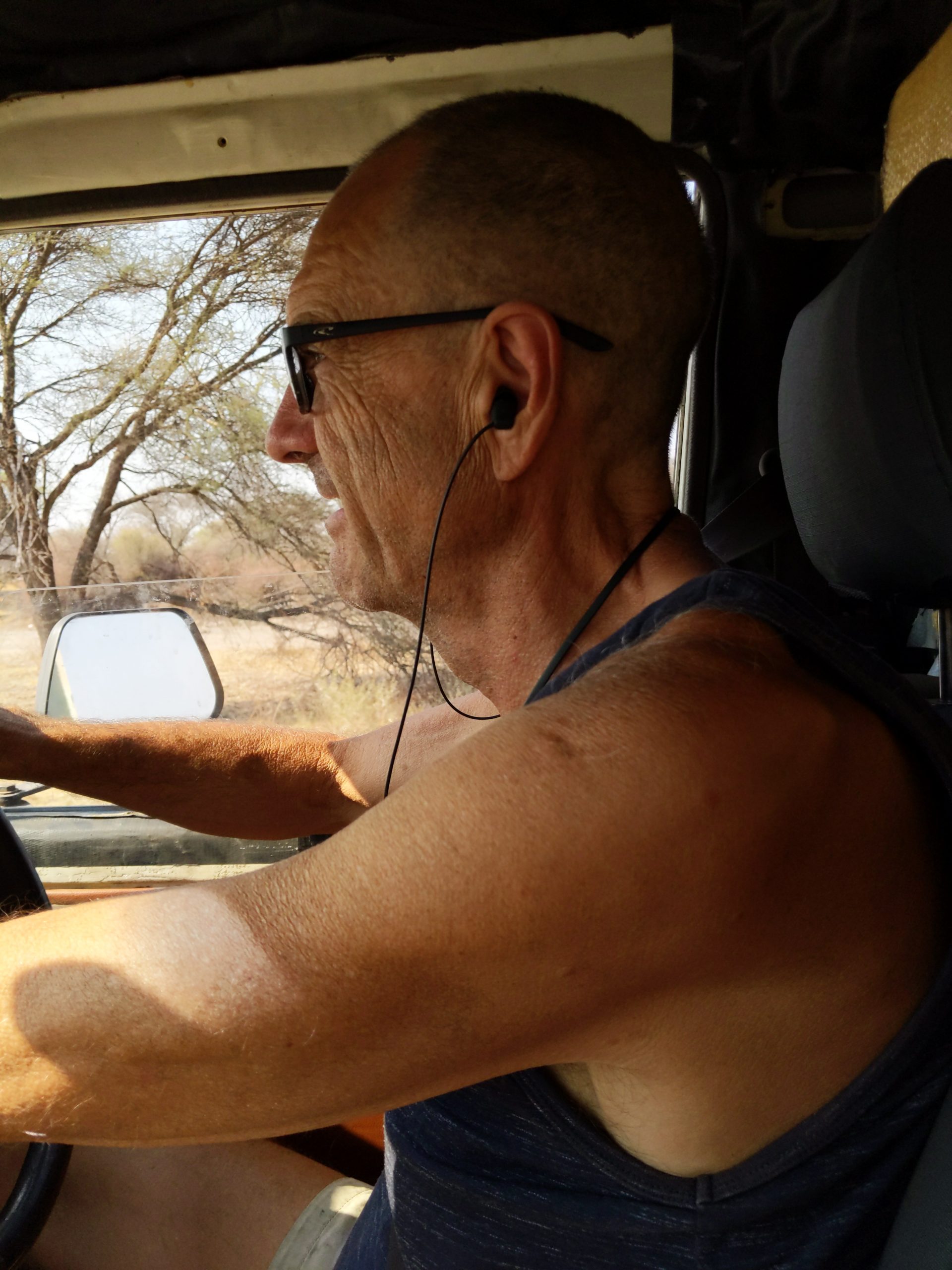
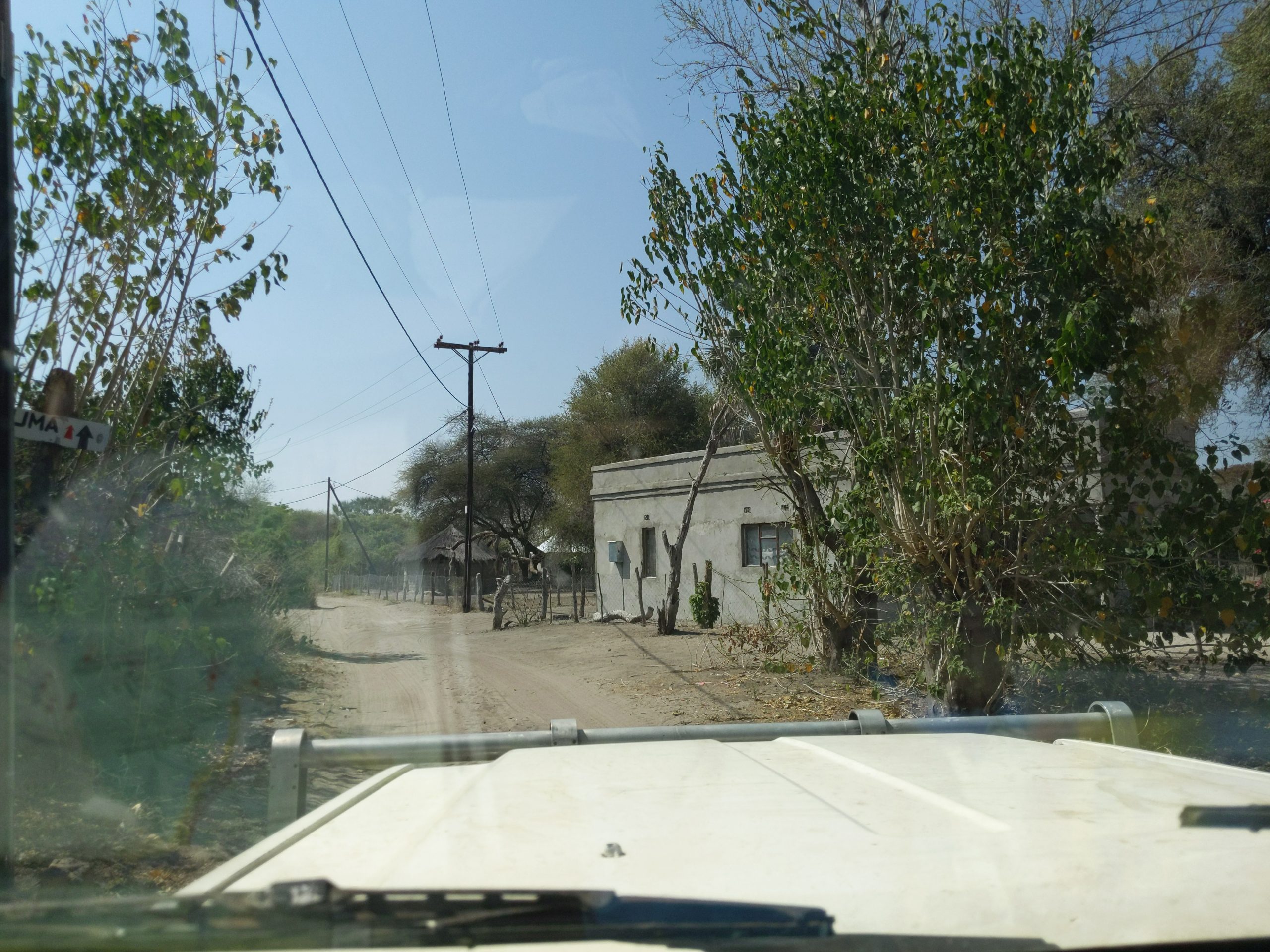
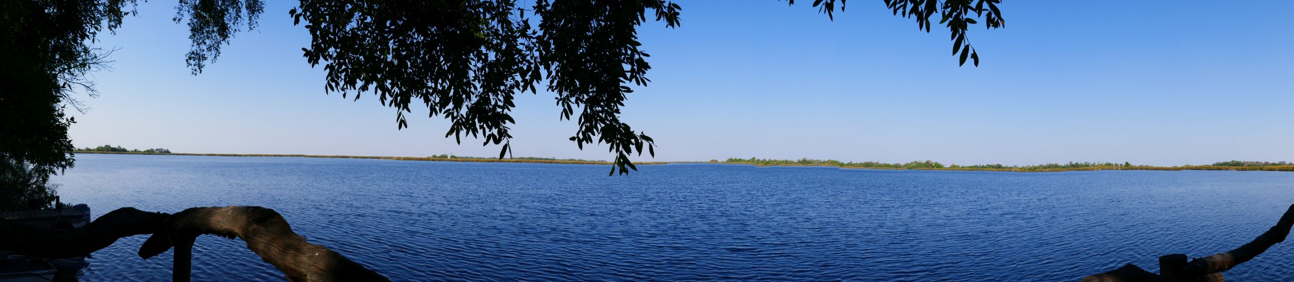
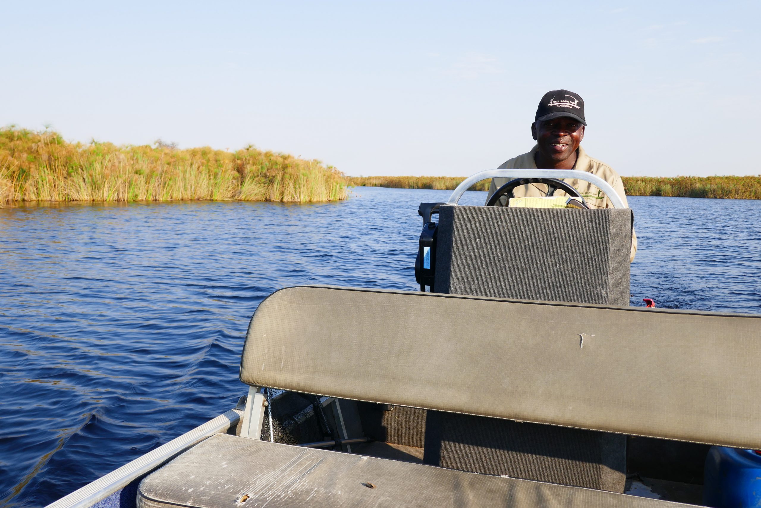
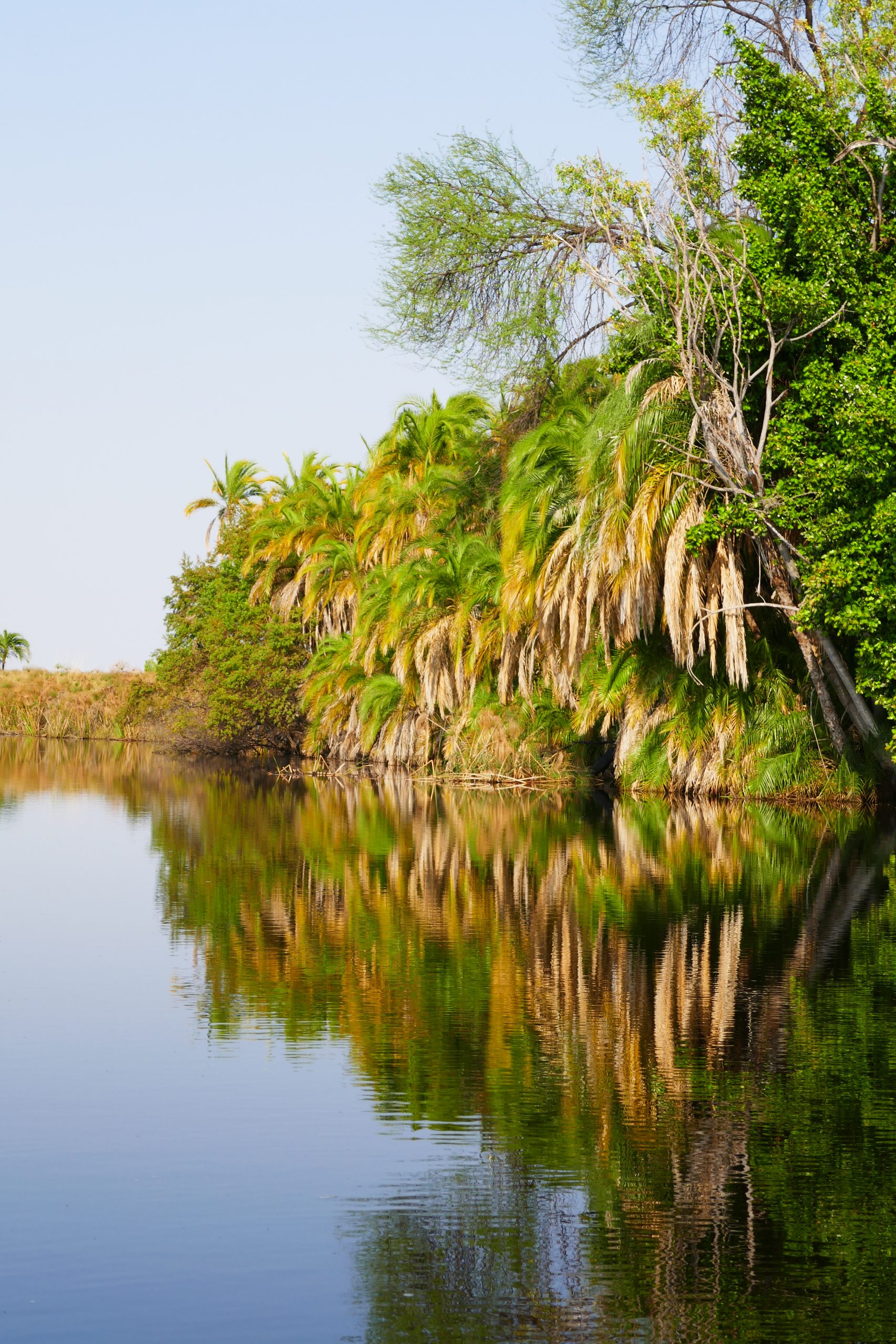
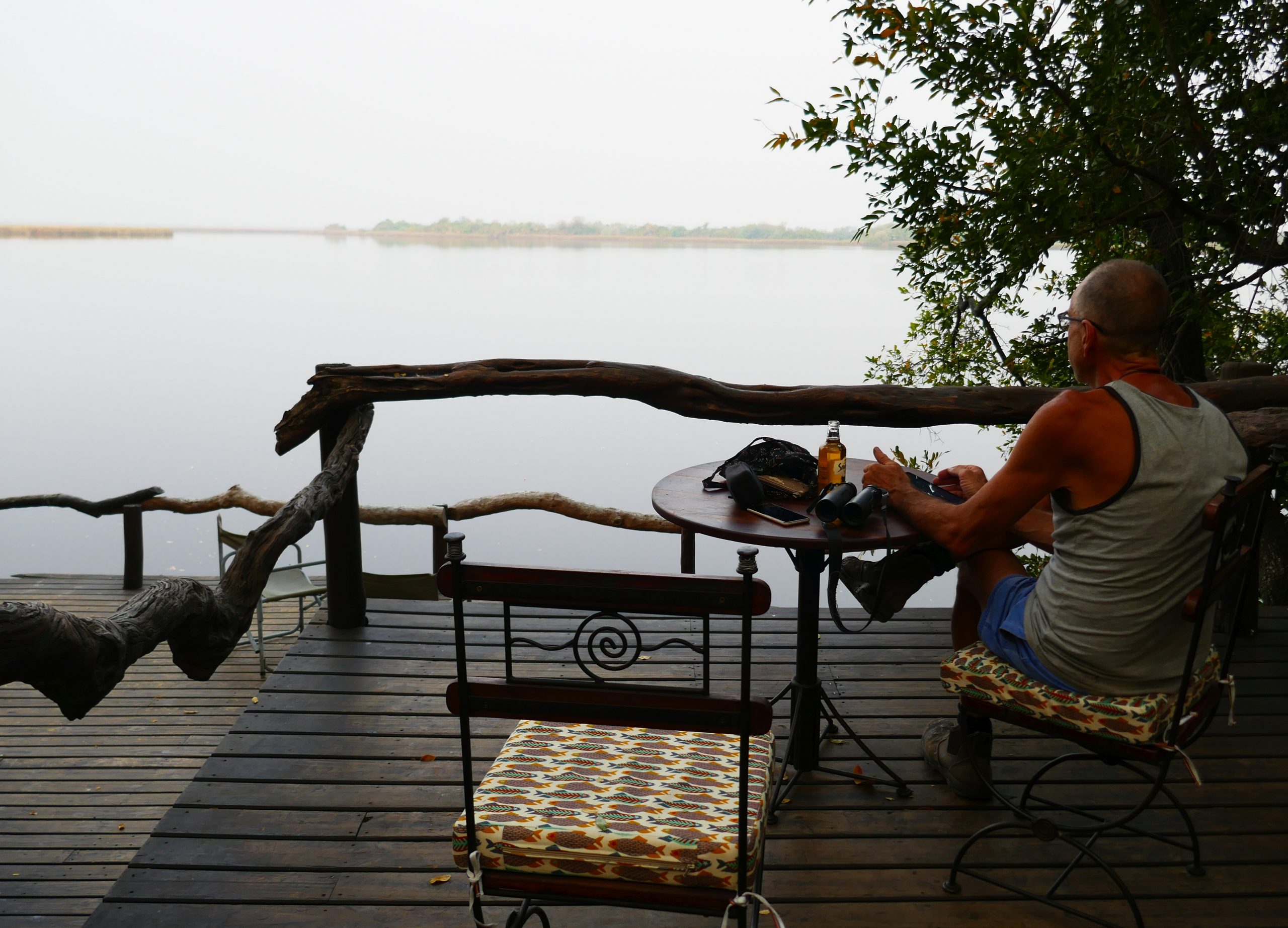
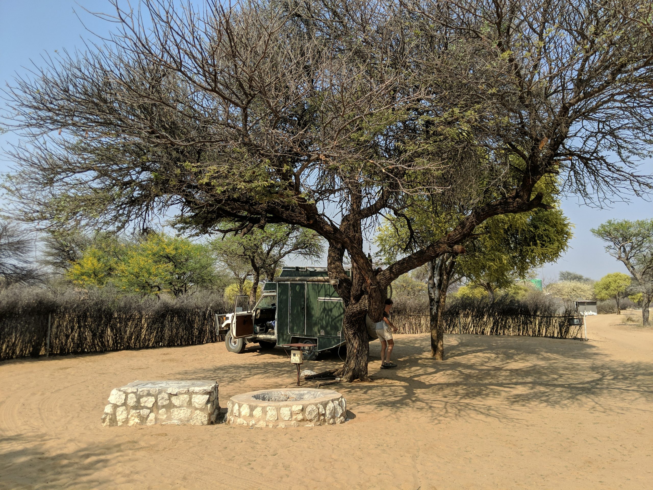
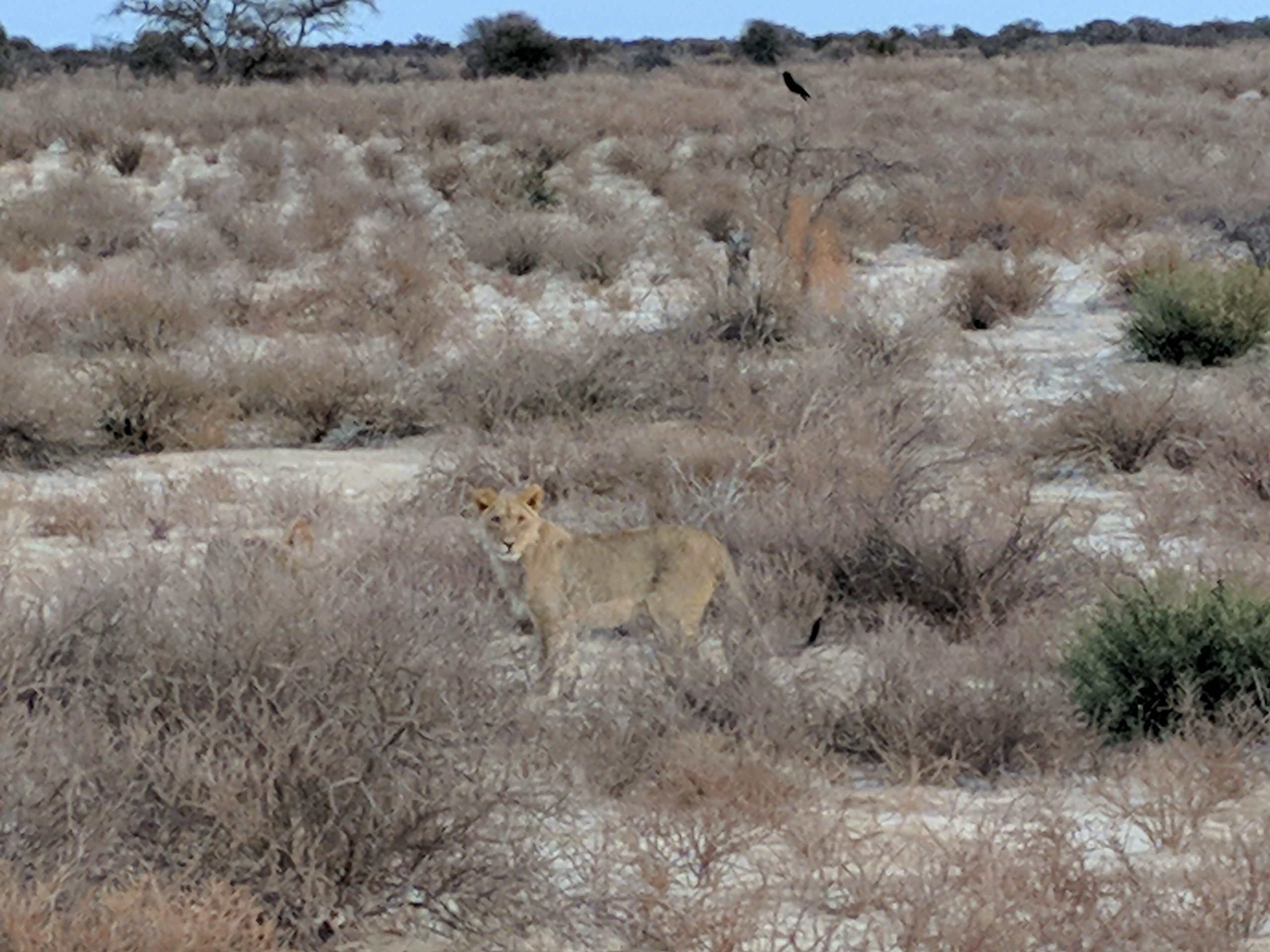
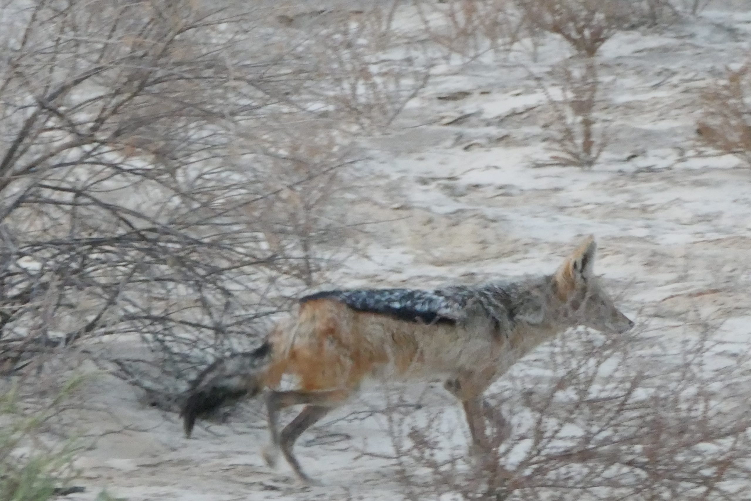
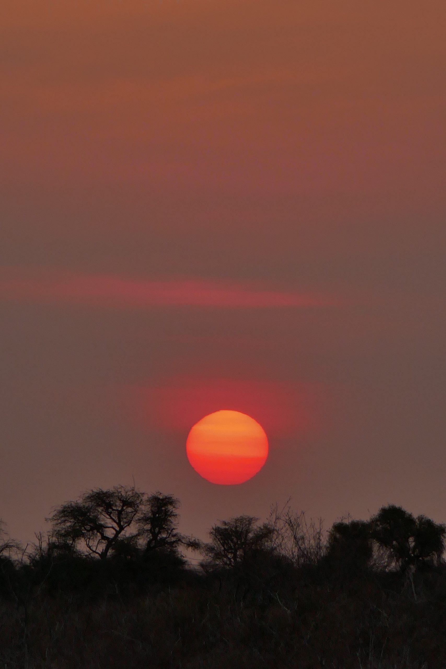
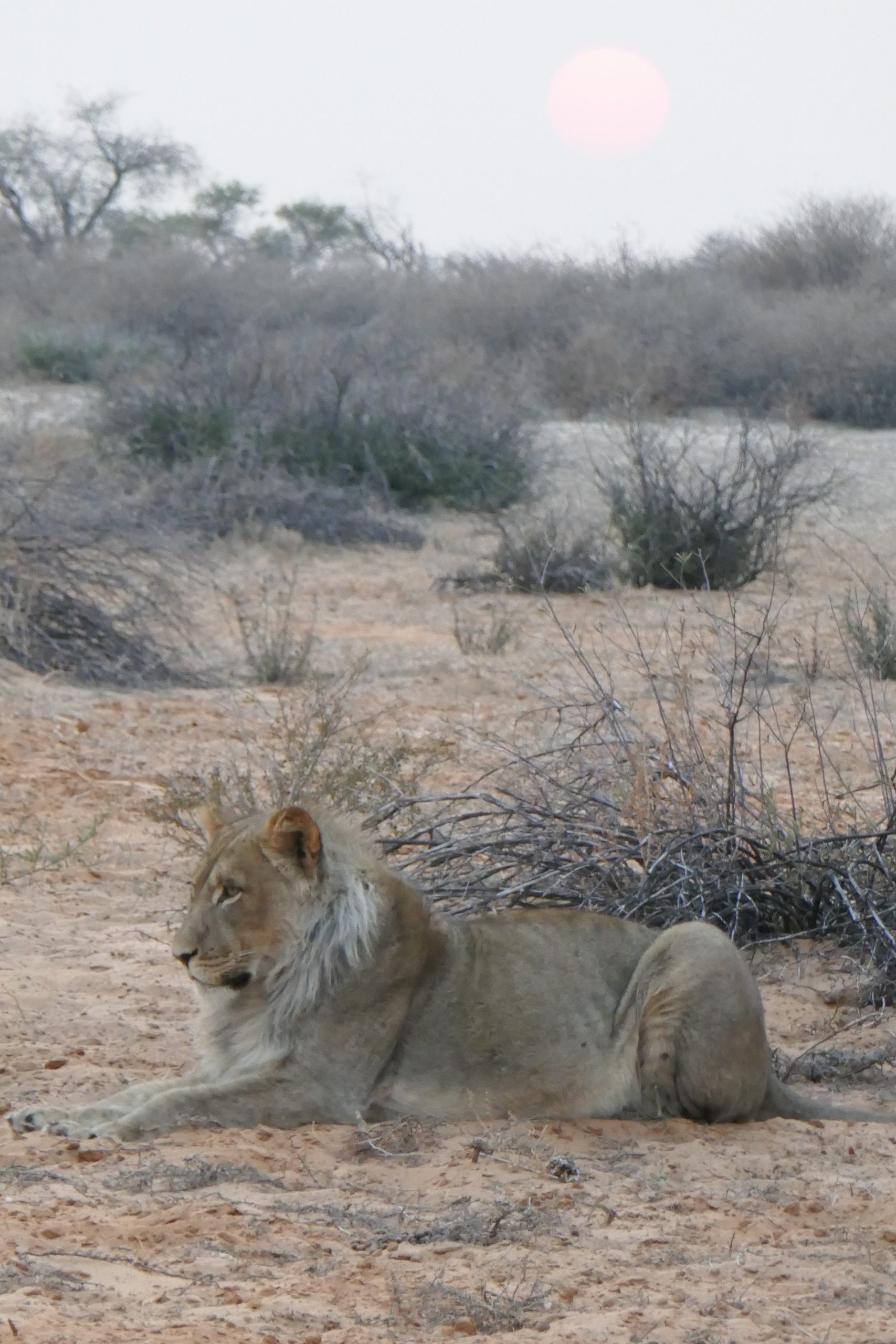
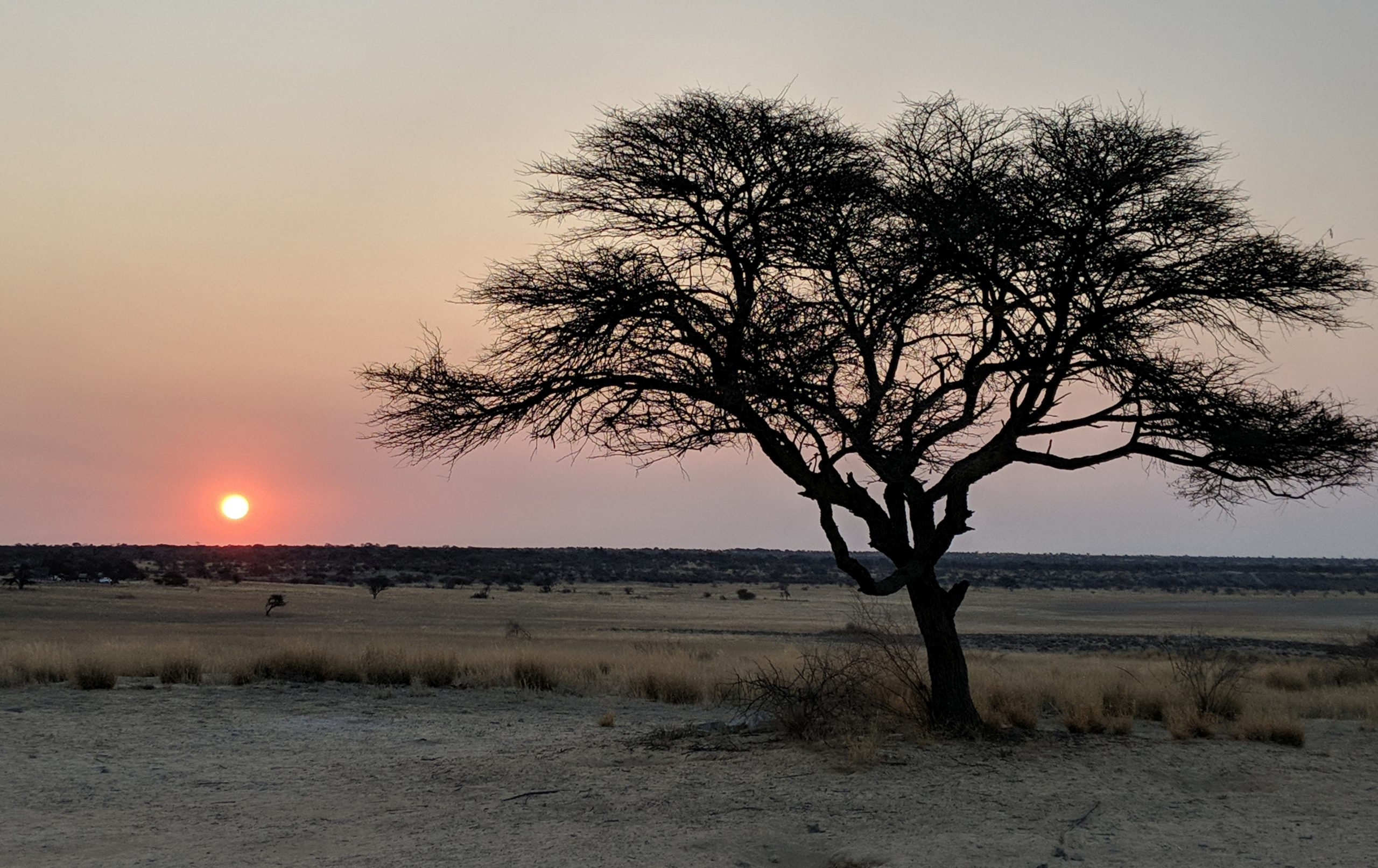
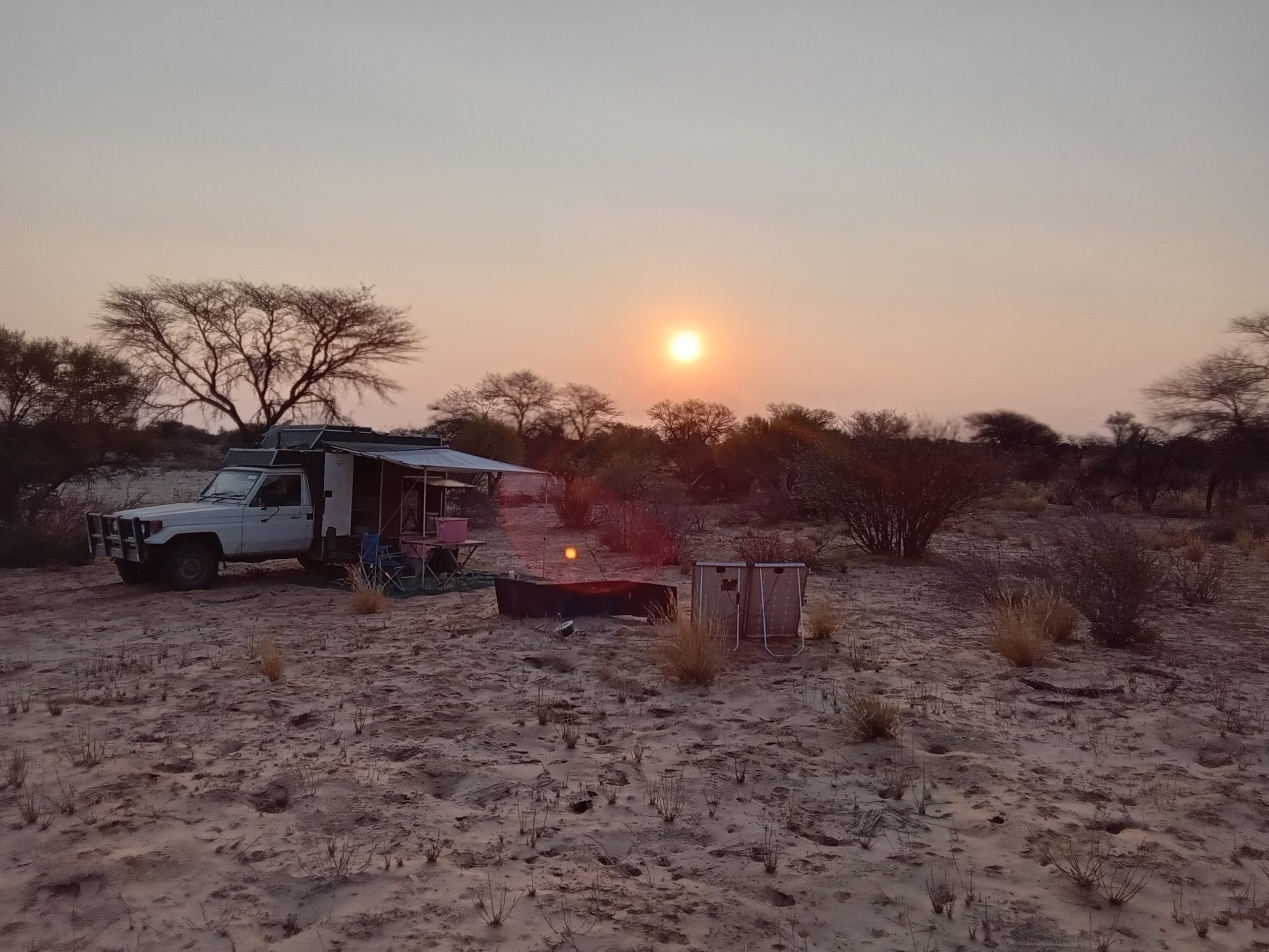
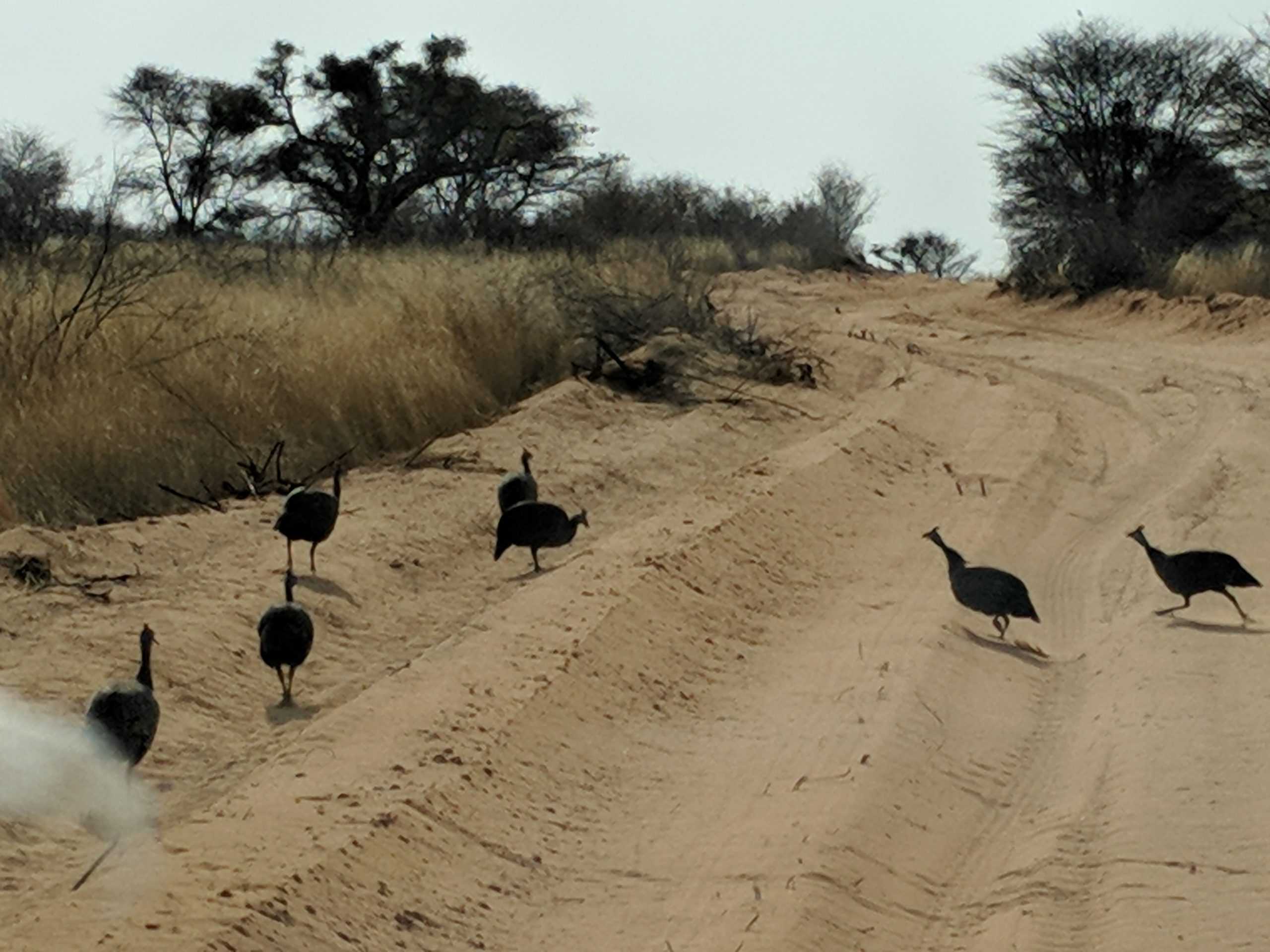
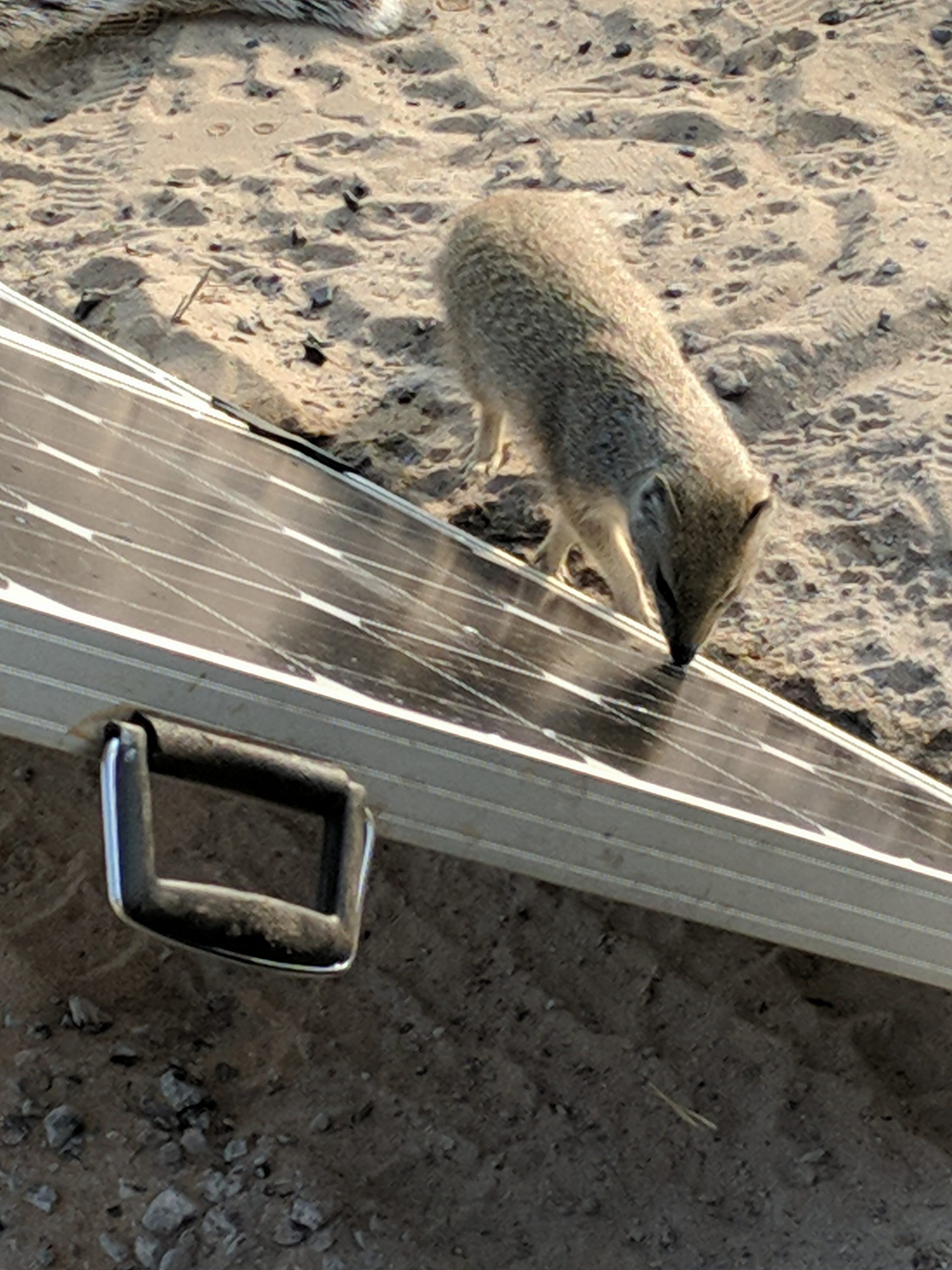
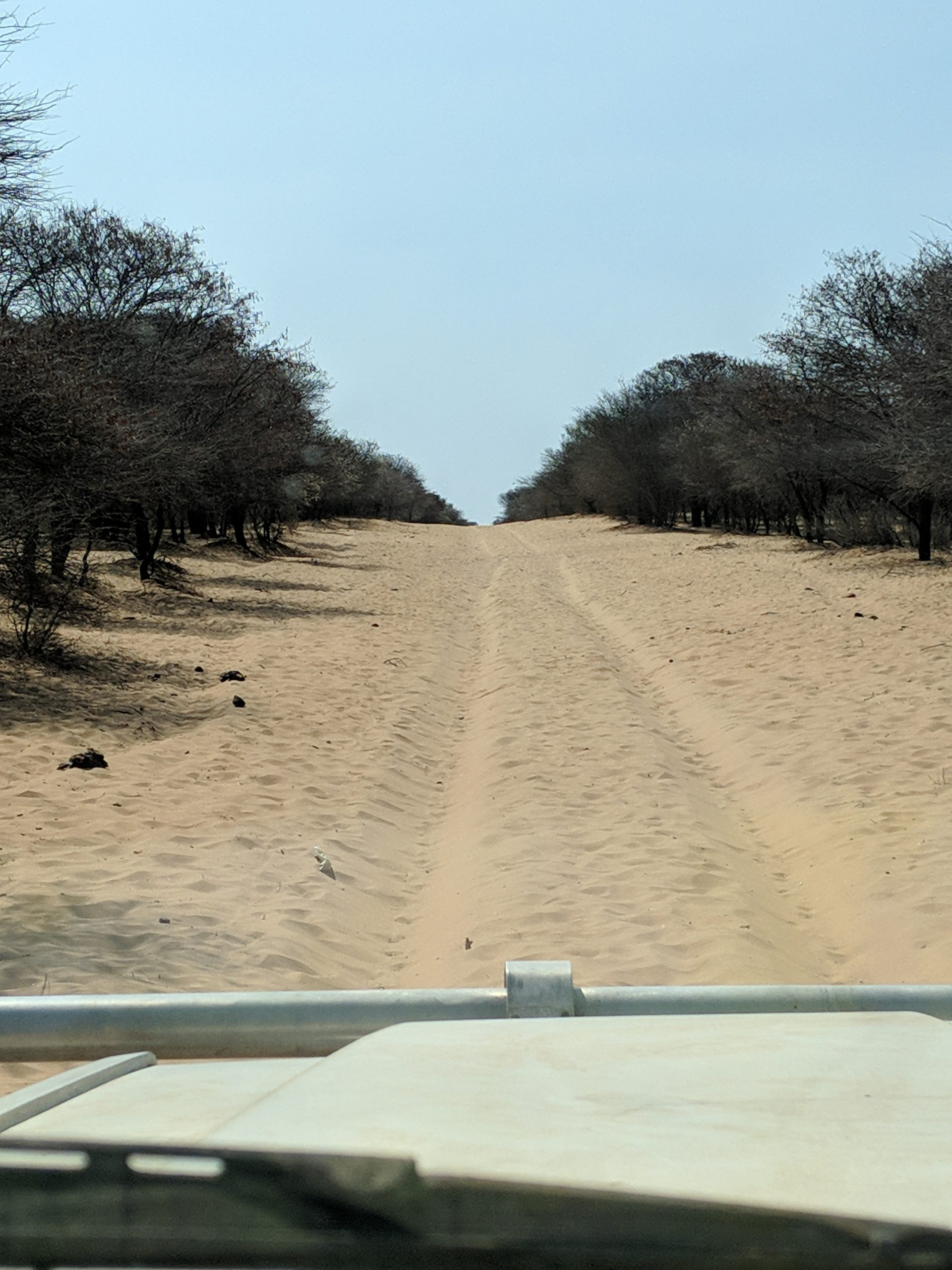
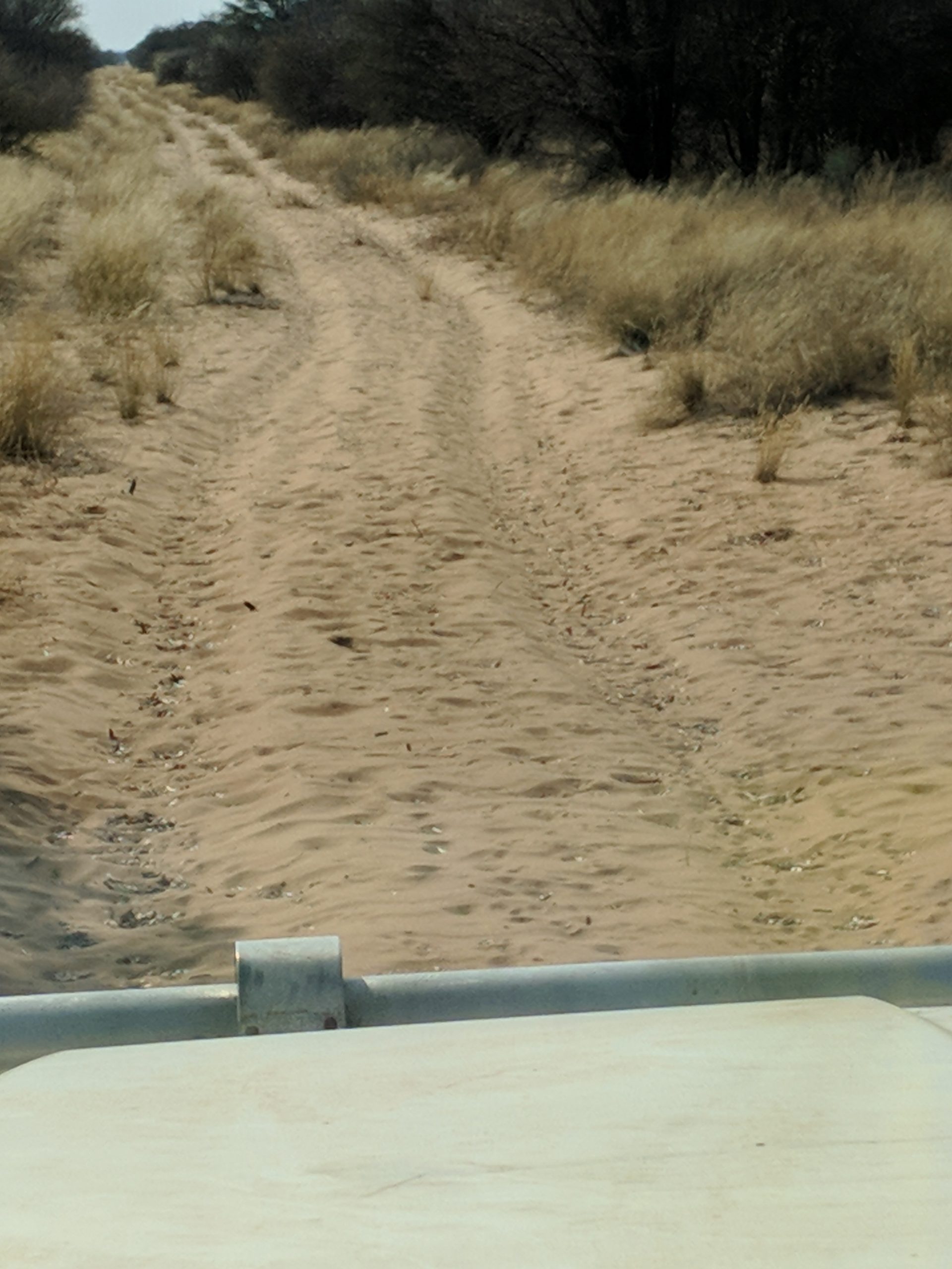
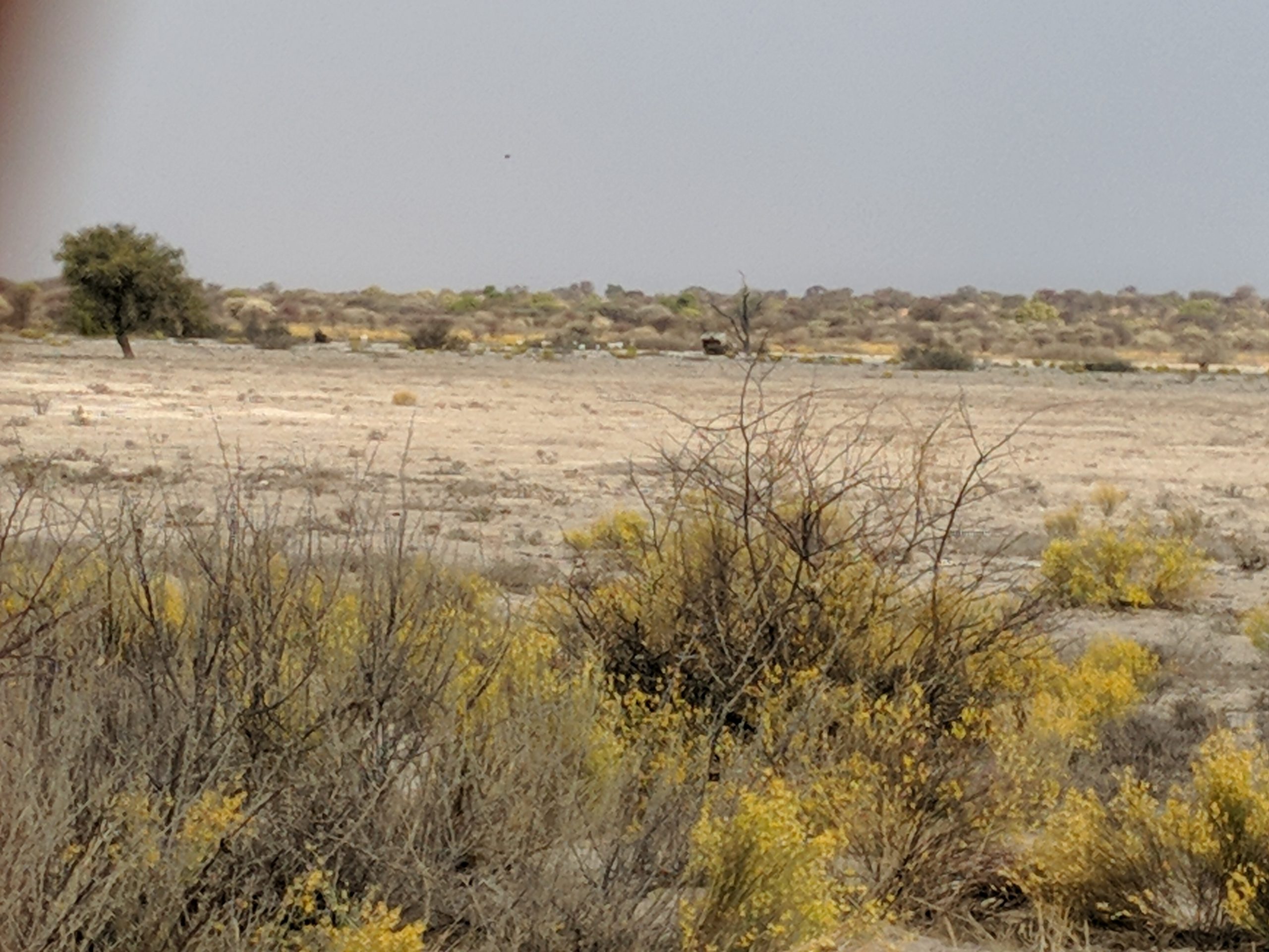
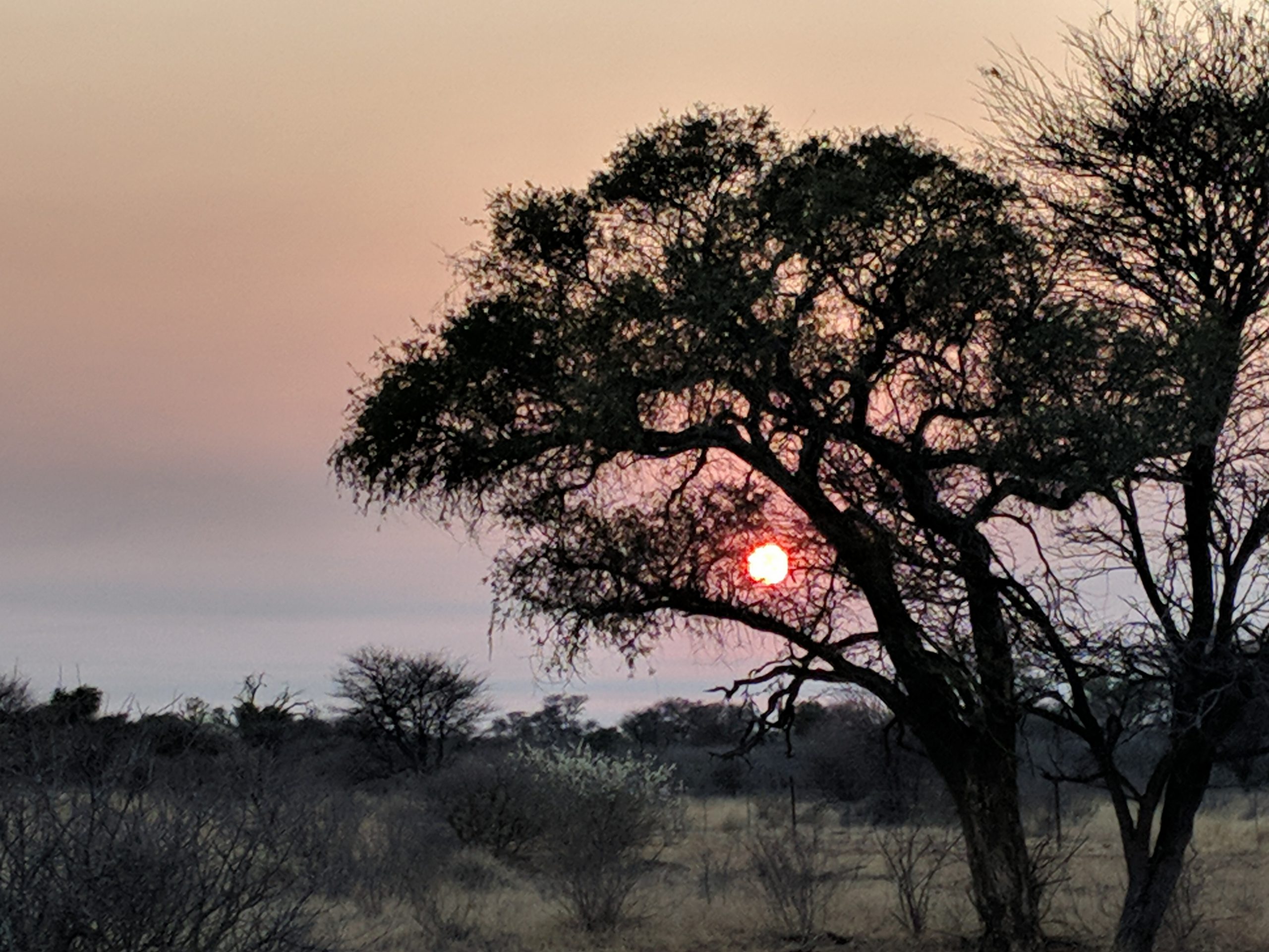
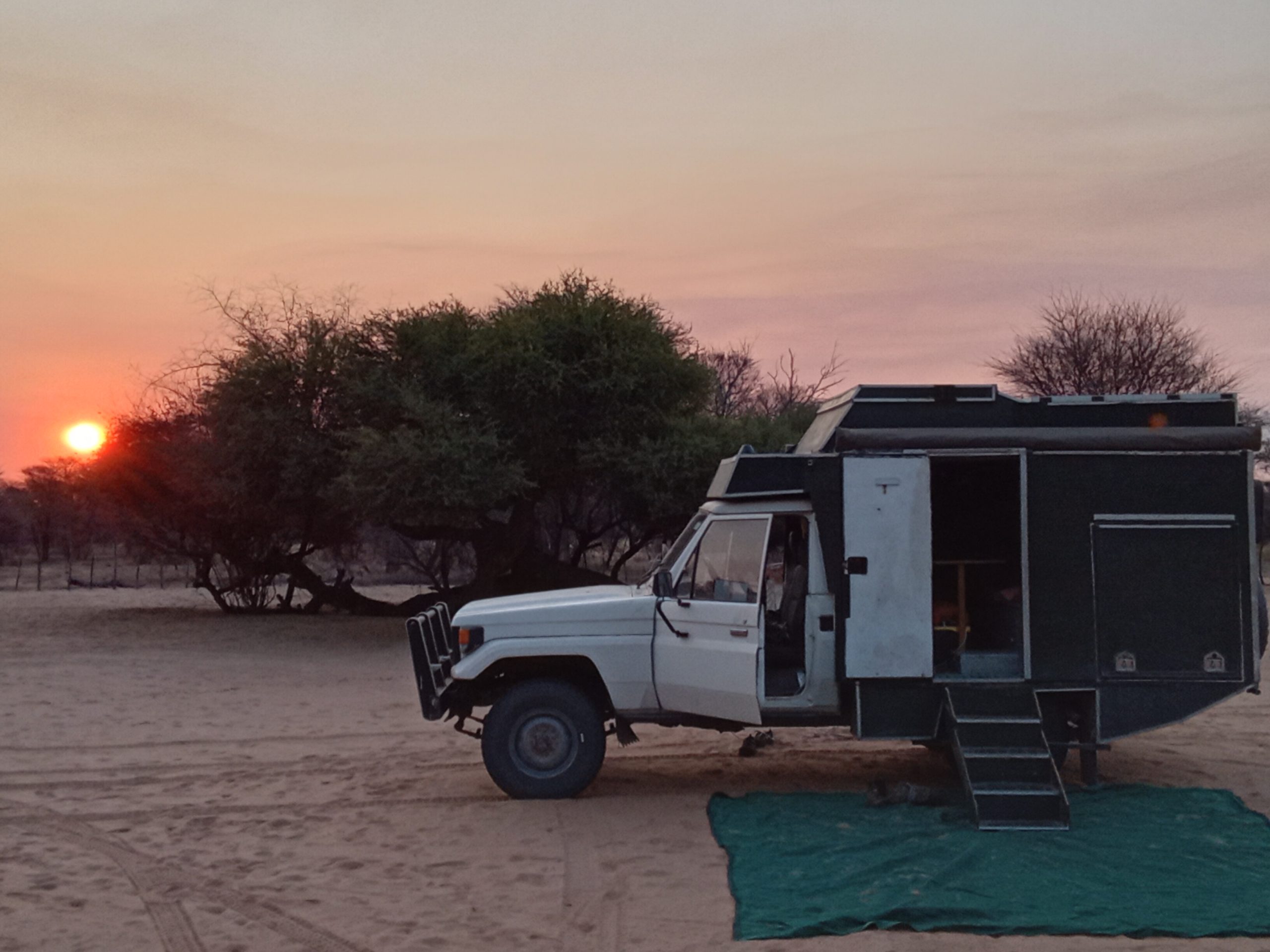
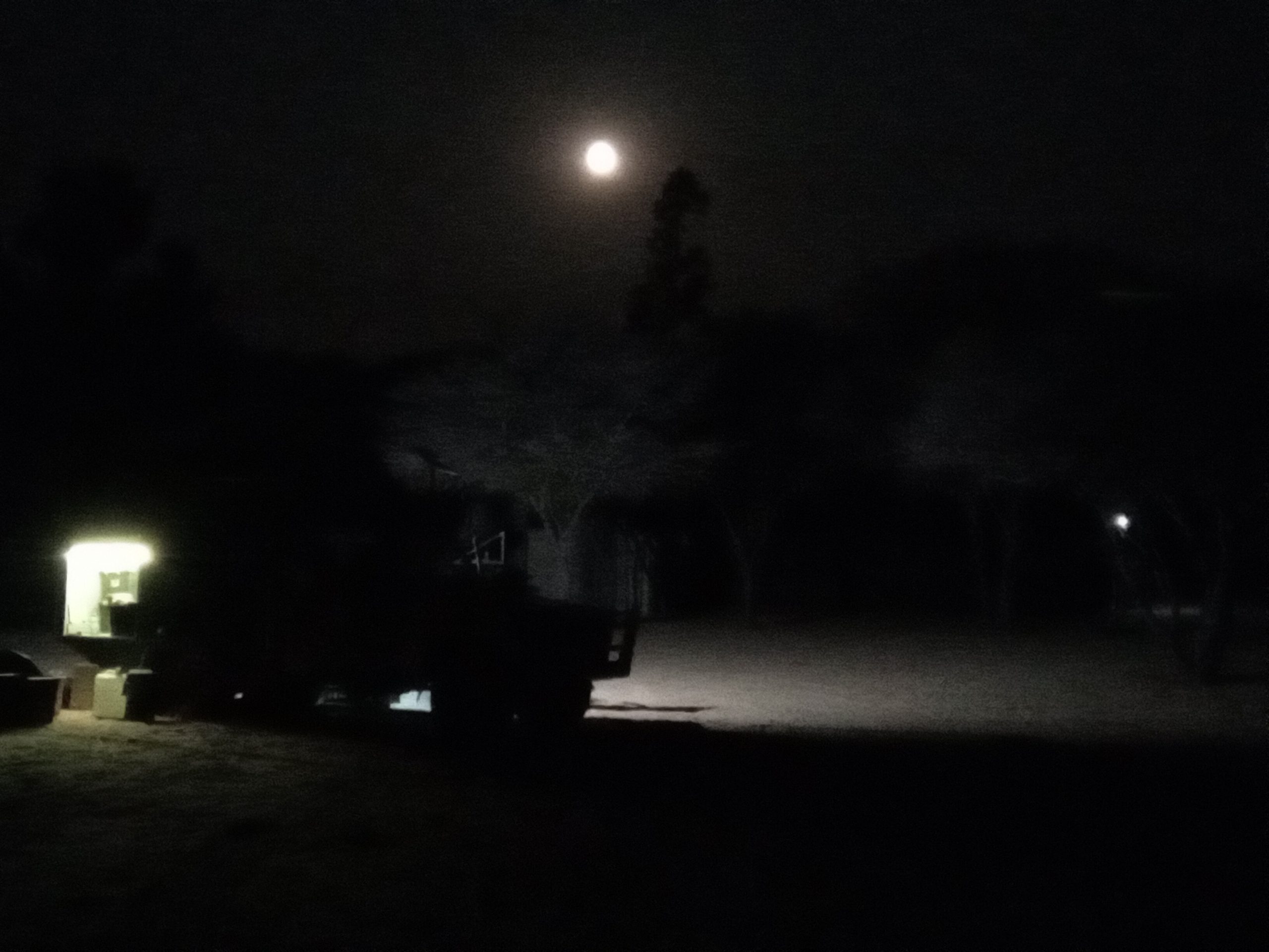
The temporary waterhole caused by the overflowing water tank had almost disappeared by the morning. We packed up and headed along the dusty road, with a fair bit of traffic on it to the A35 bitumen.  Then heading north to Shakawe, where we went to the Choppies supermarket for more supplies. We then drove to three hardware stores looking for gas canisters, because we were getting low, however no luck. Then 7km south of Shakawe to Drotskys cabins. We were unenthused by Drotskys campsite, and we decided to make a run for the Namibian border and aim for Nunda River Lodge in Namibia on the Caprivi strip. So about 15km up the road we hit the border. Botswana is easy to leave, fill in a form and 30 seconds and your done. Took a bit longer on the Namibian side, but not too hard. Paid the Cross border charge for the vehicle, about $30, and we were on our way north. We arrived at Nunda and got to choose our campsite, so we choose one right next to the river, and the hippos.

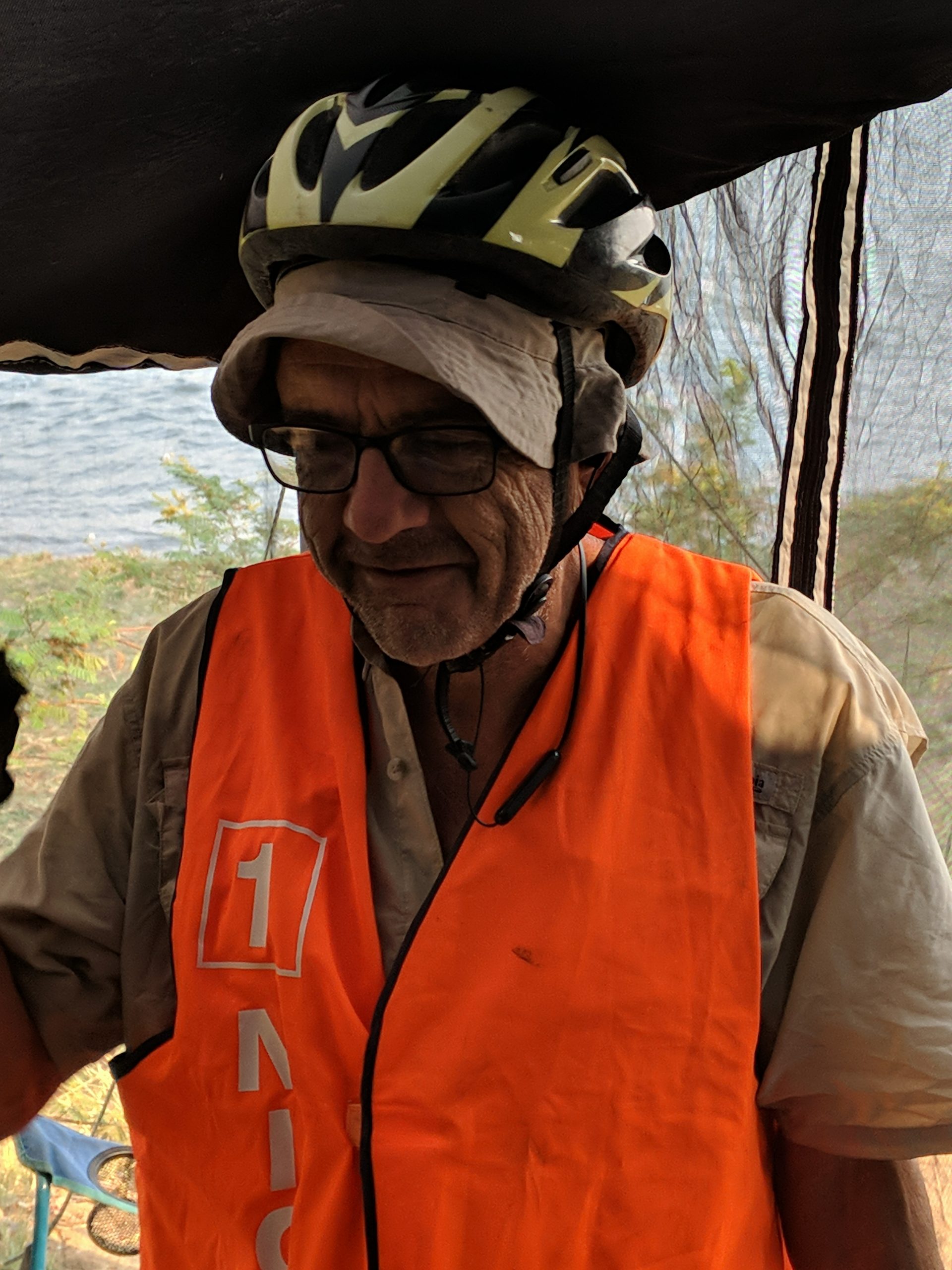
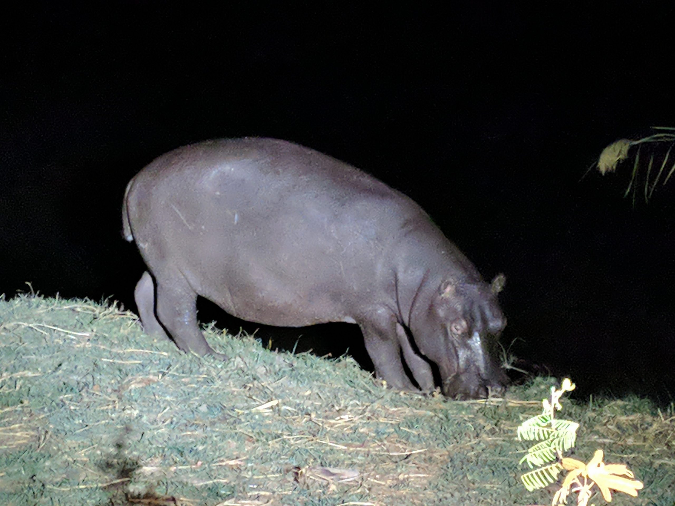
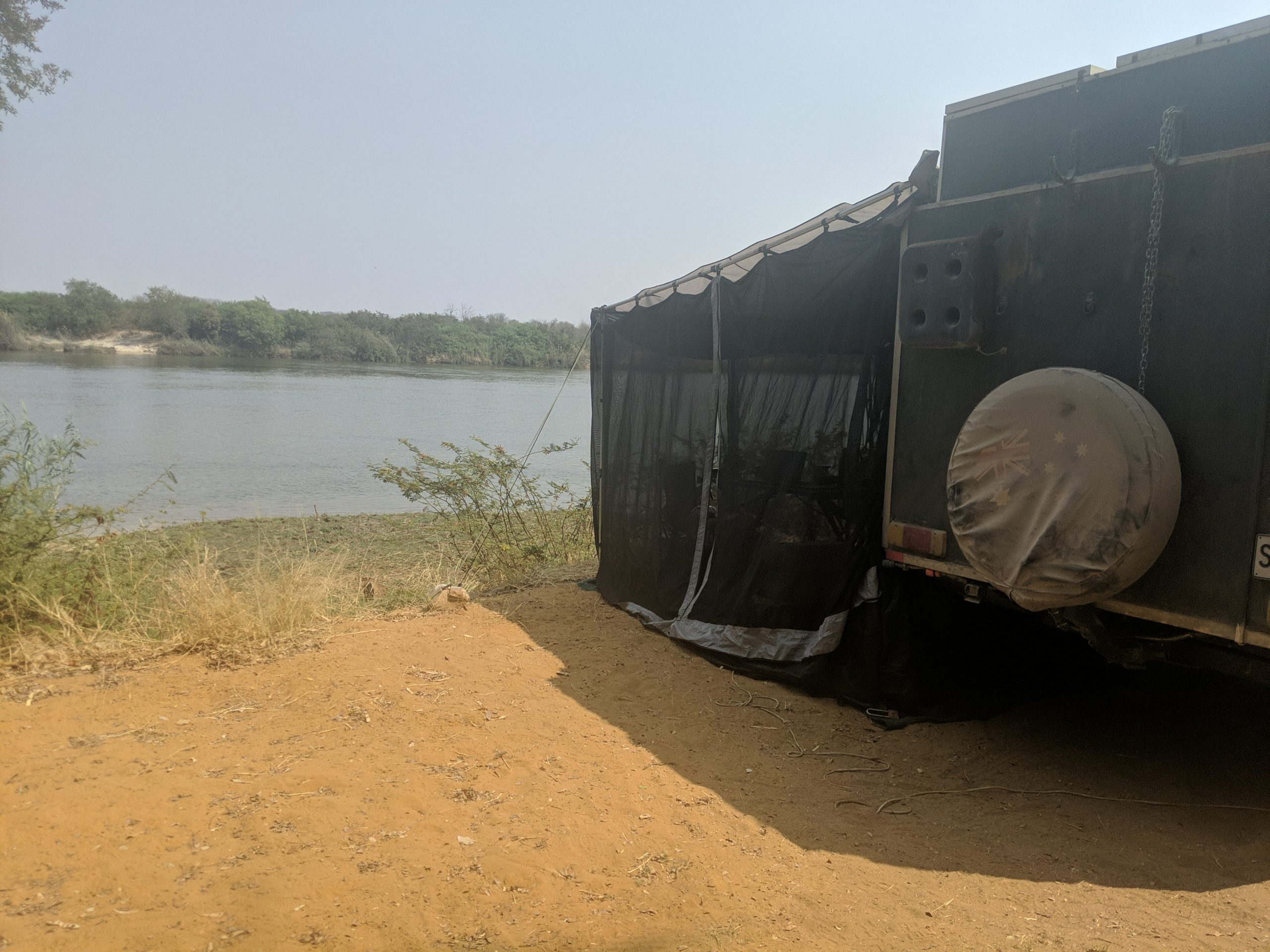
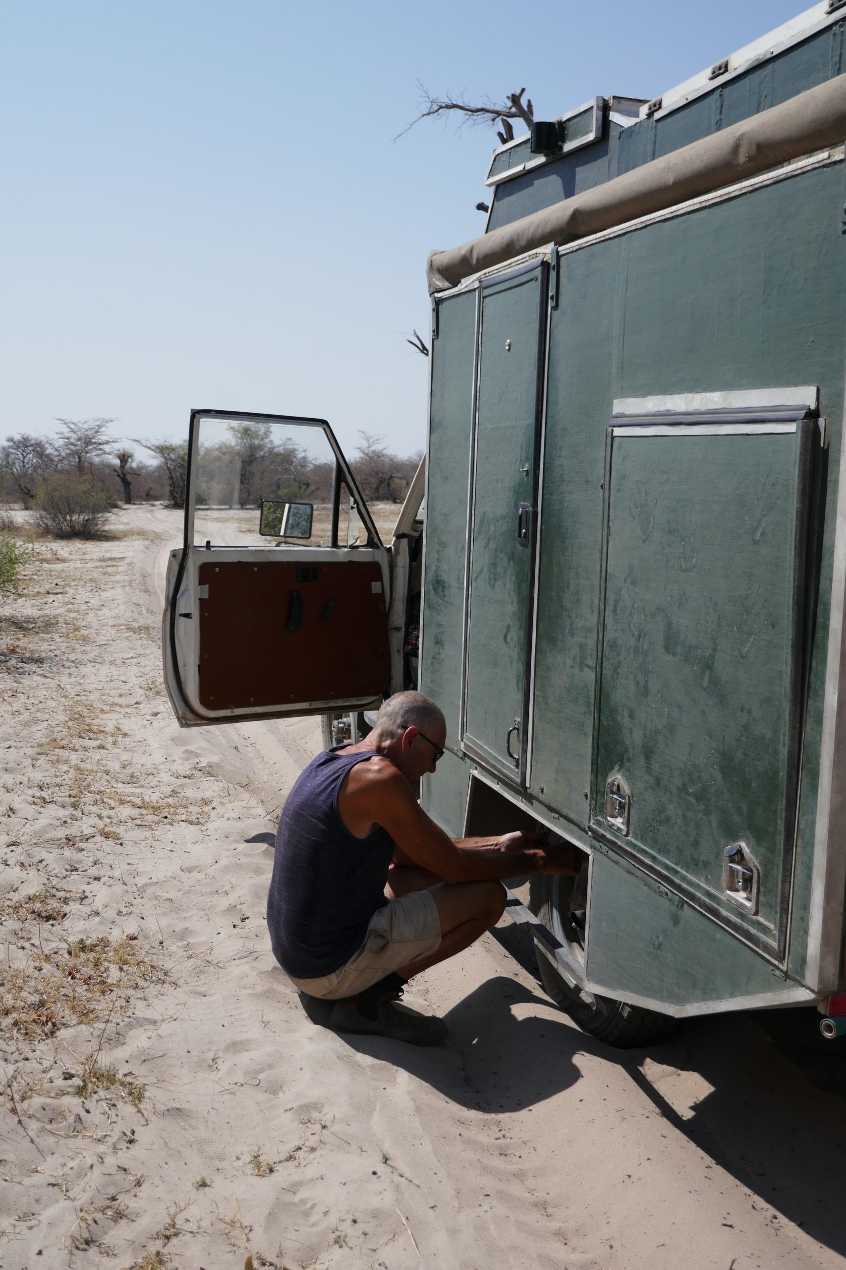
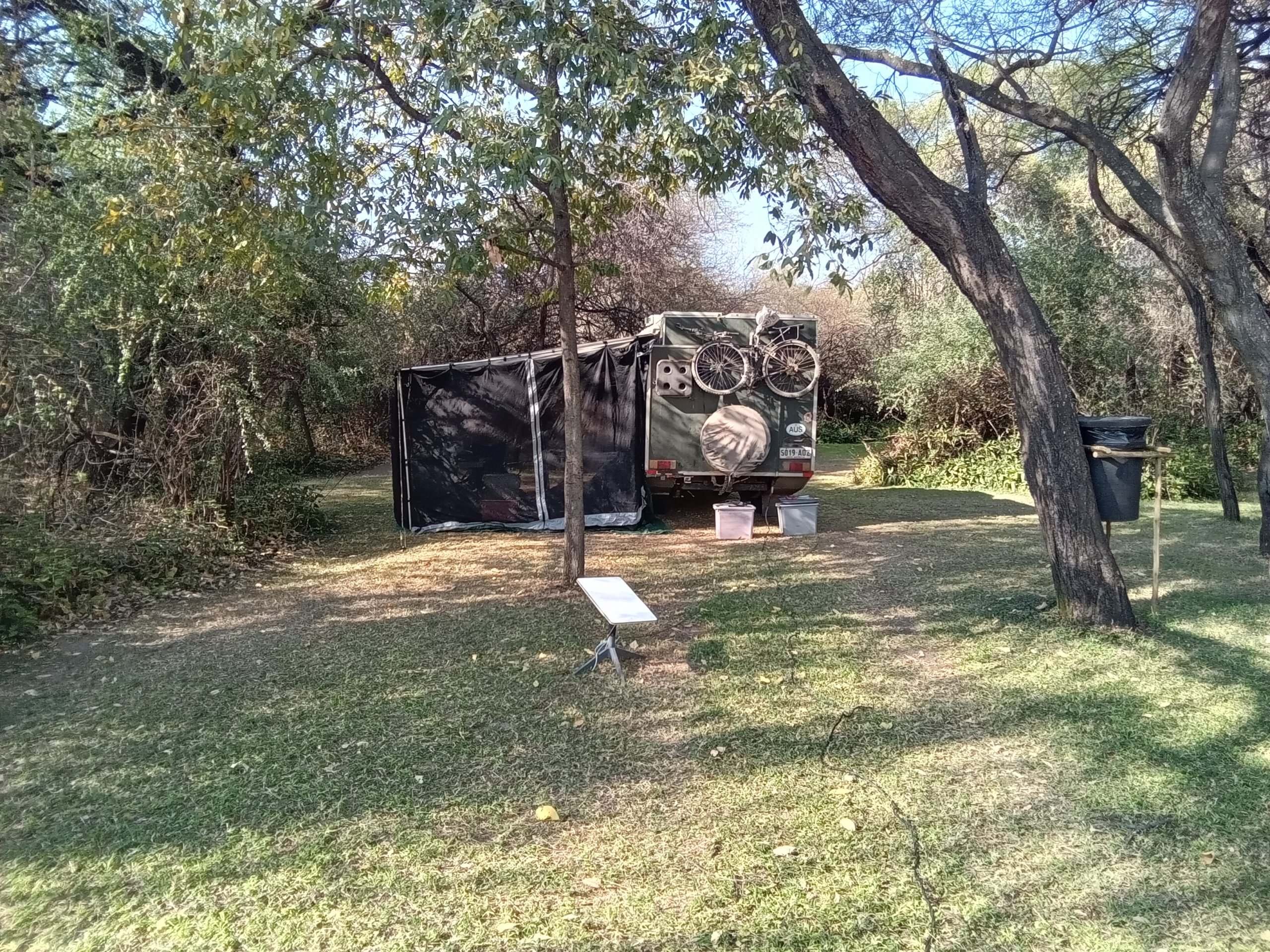
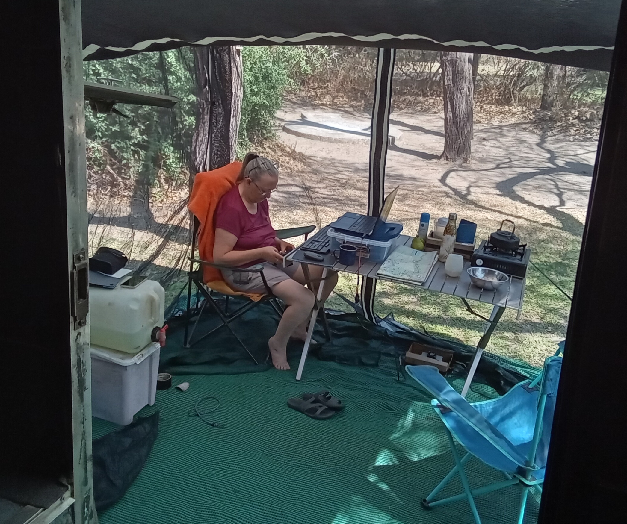
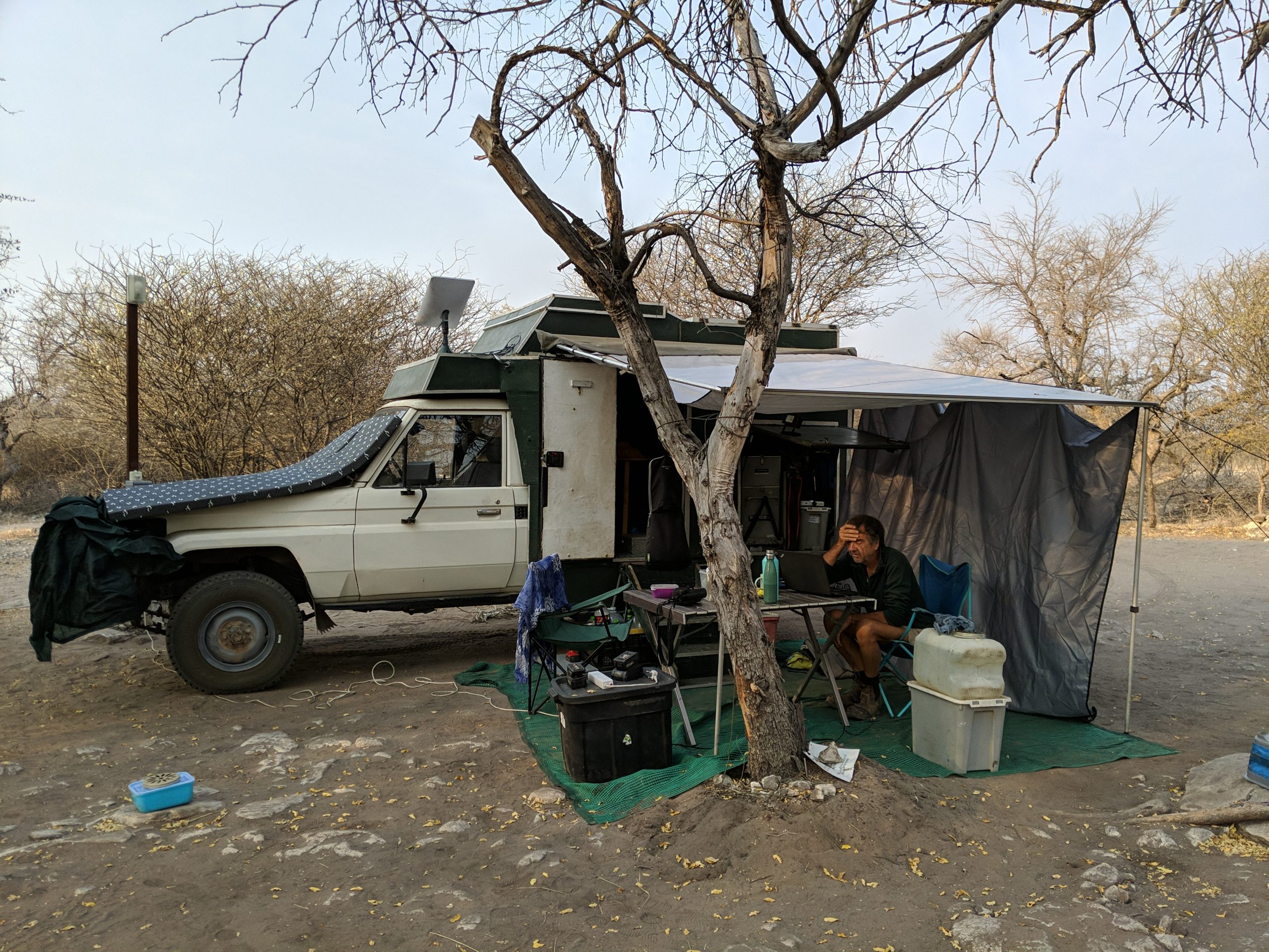
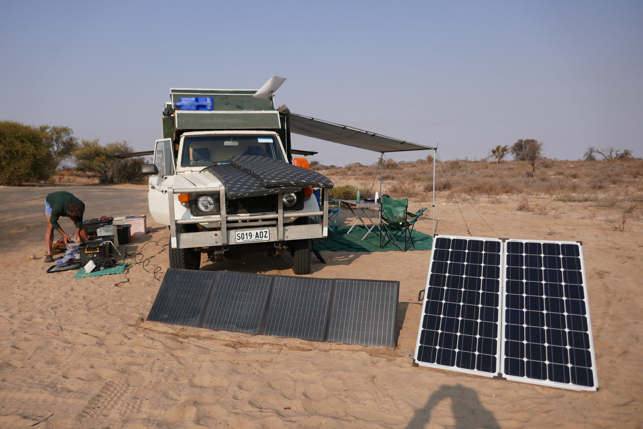
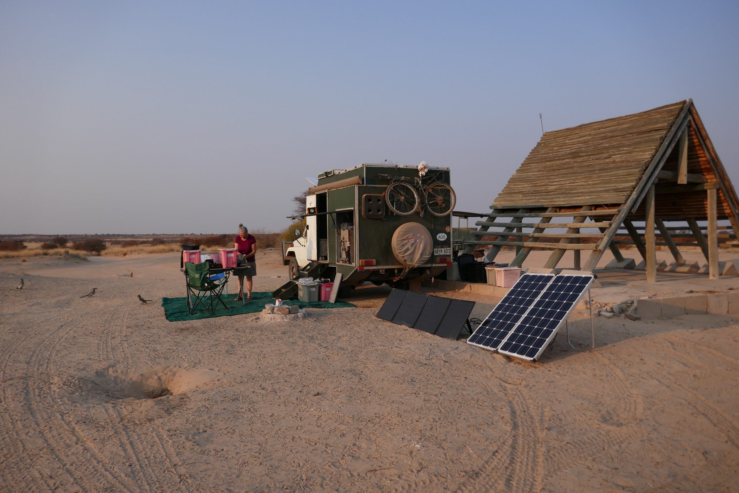
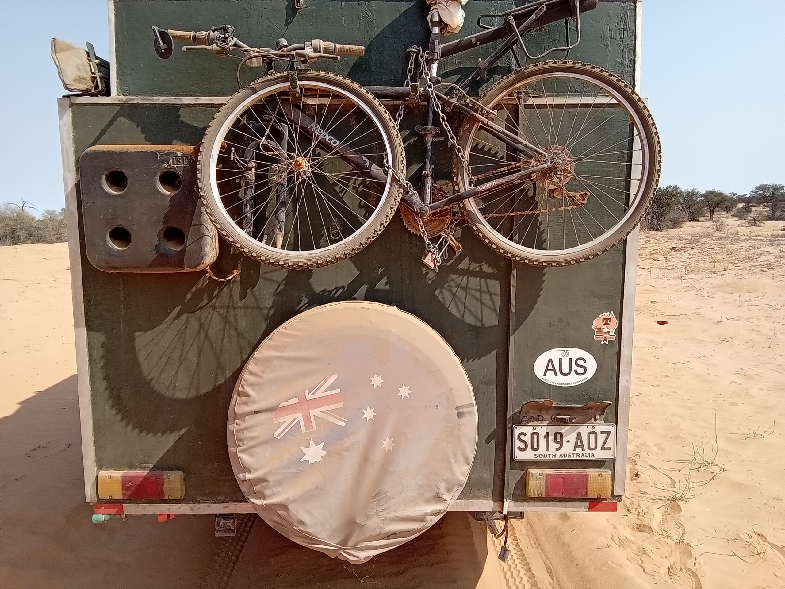
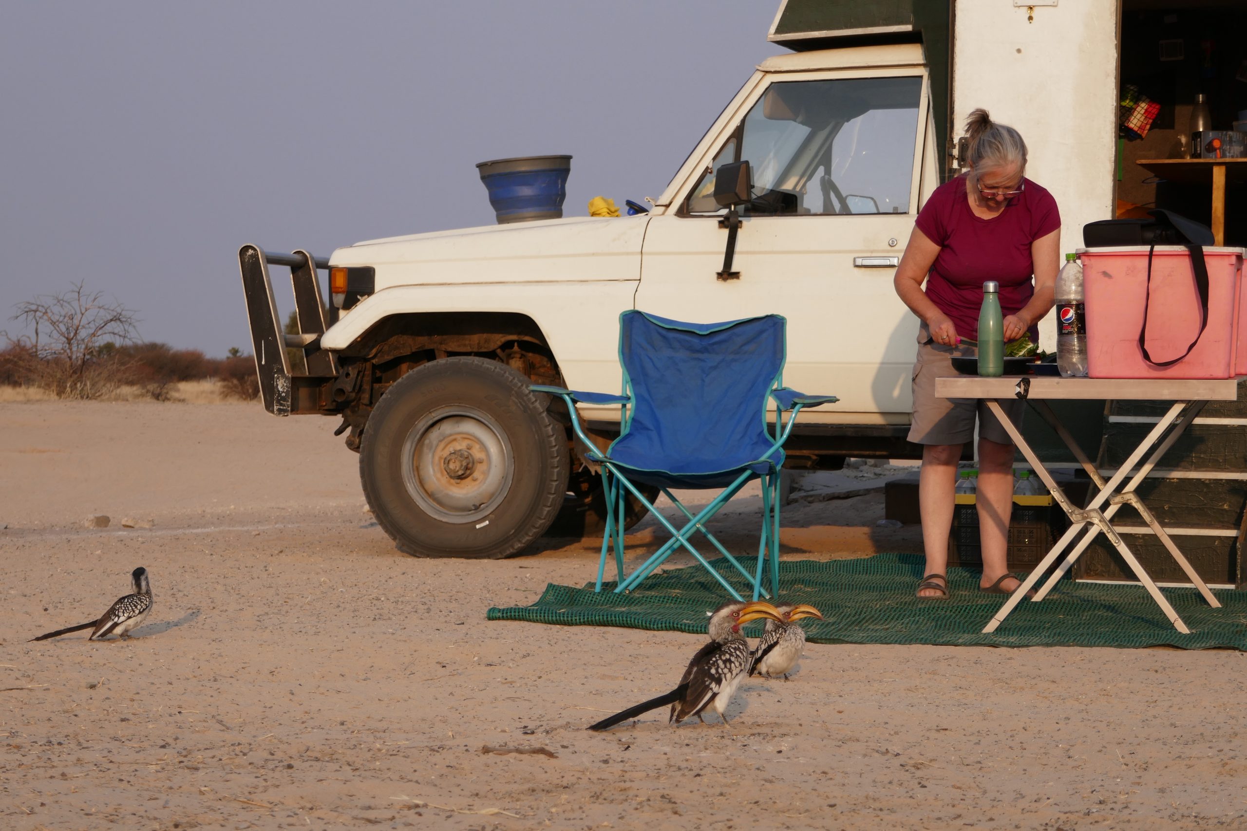
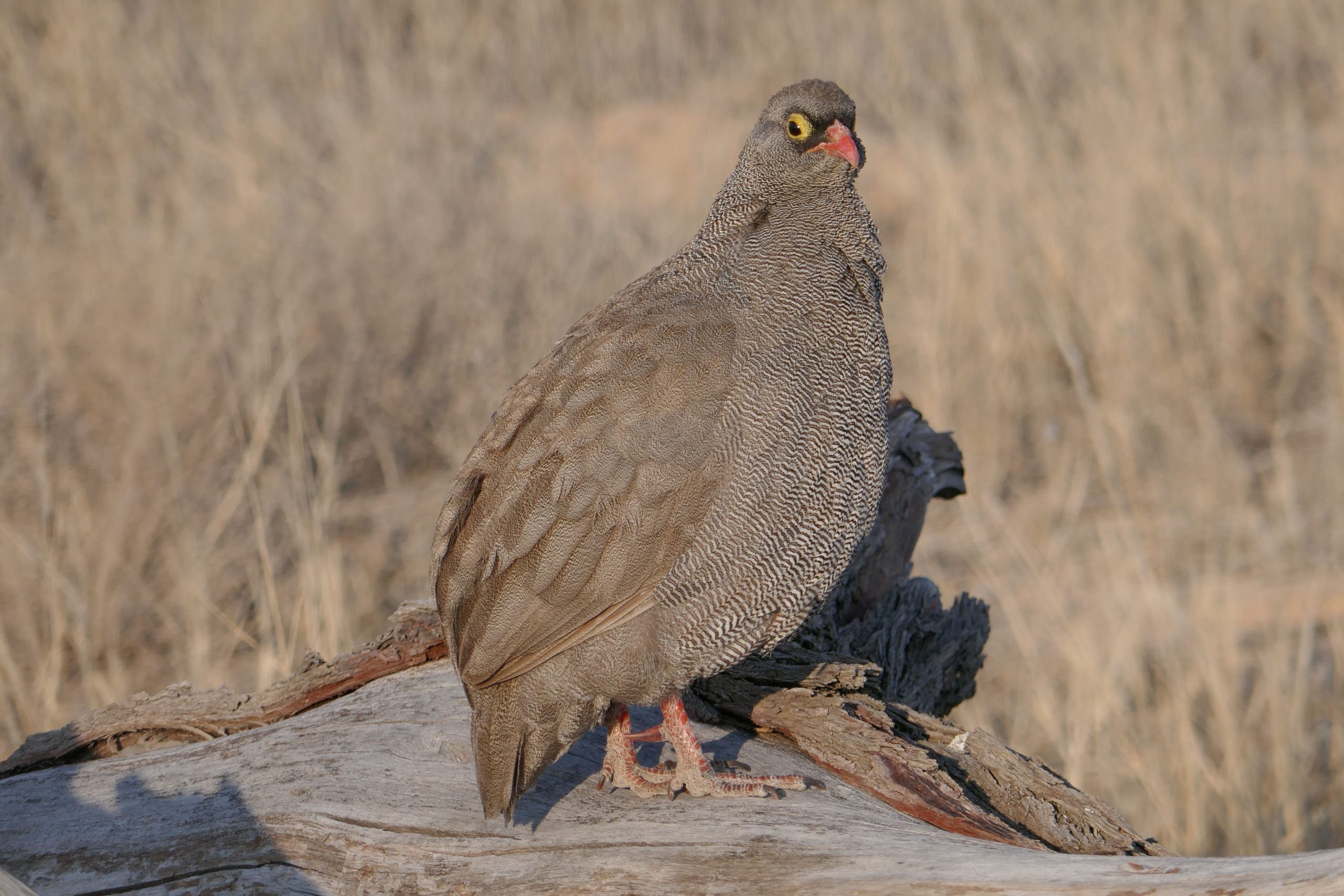
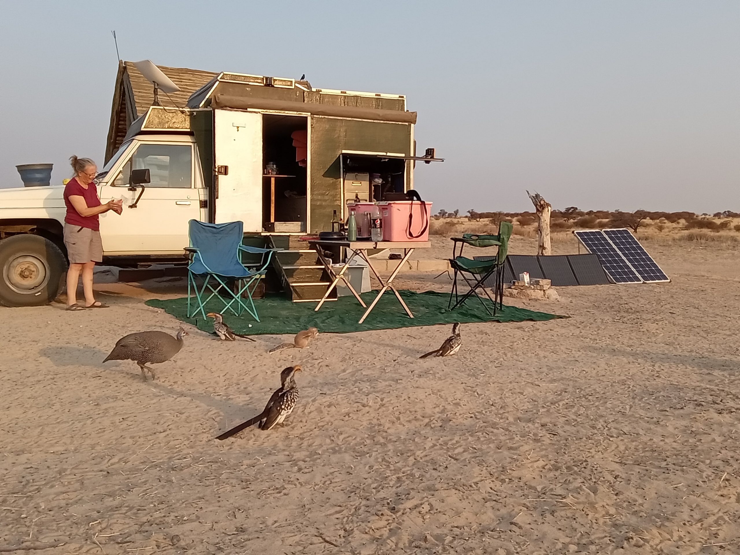
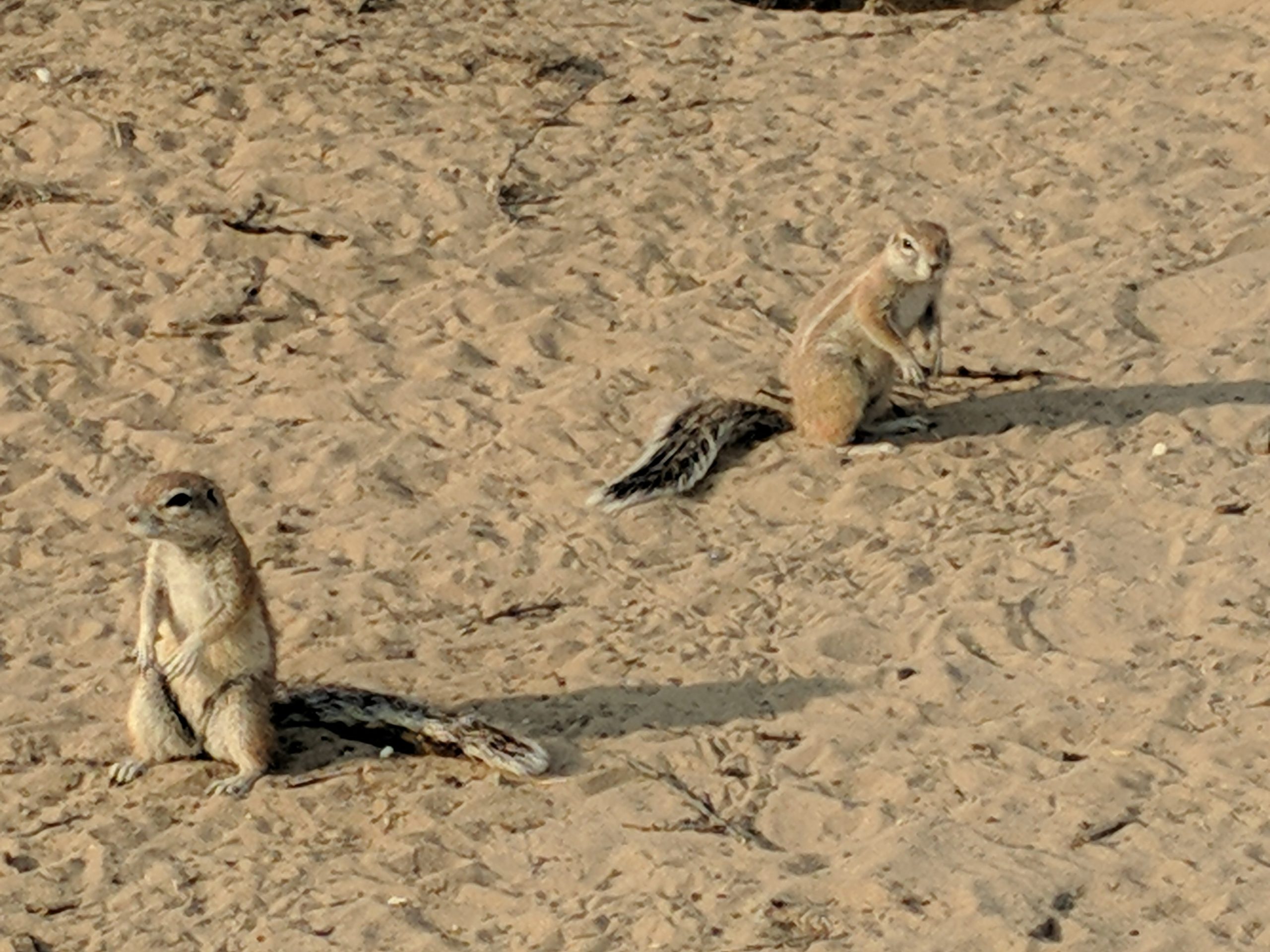
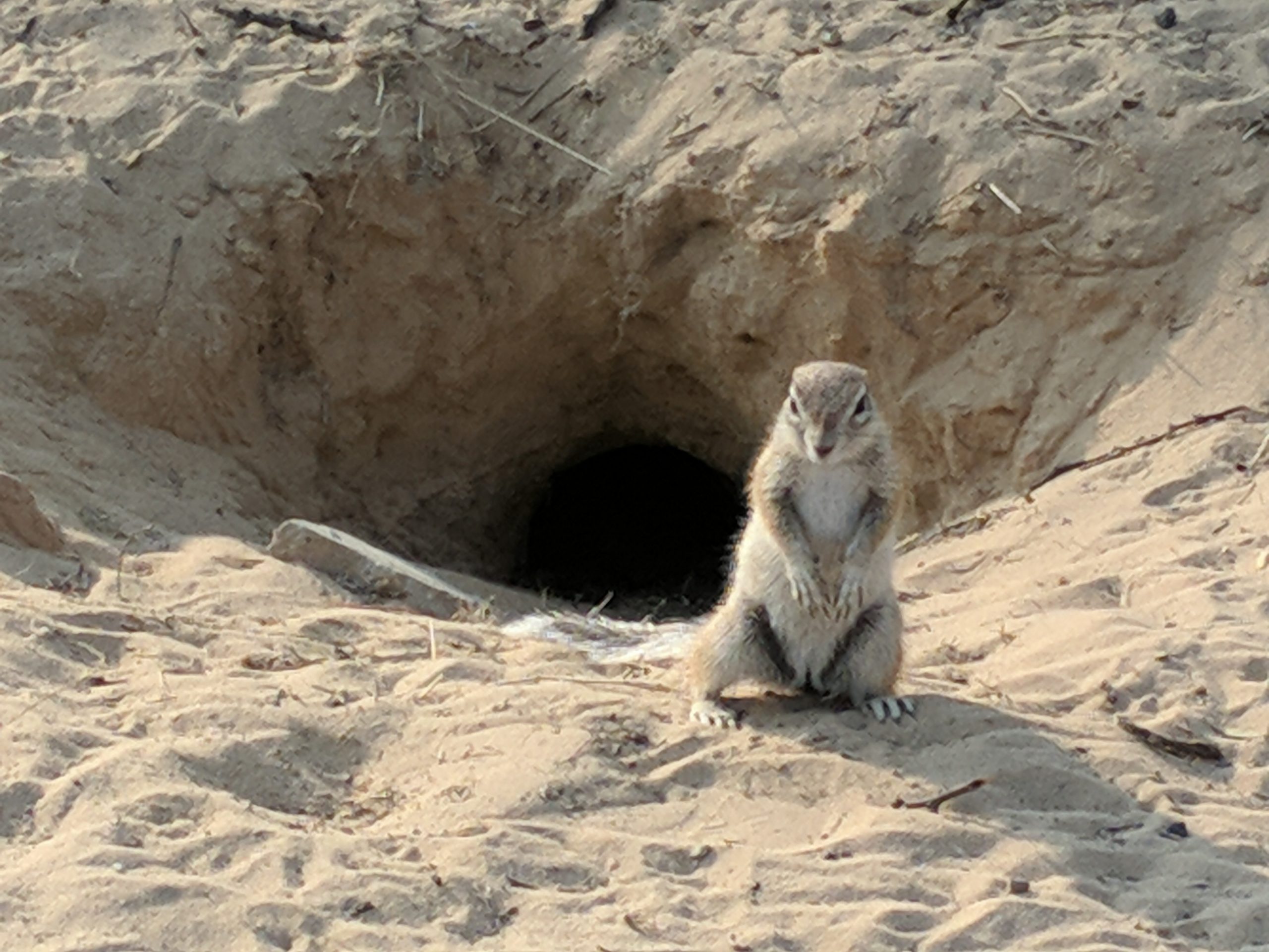
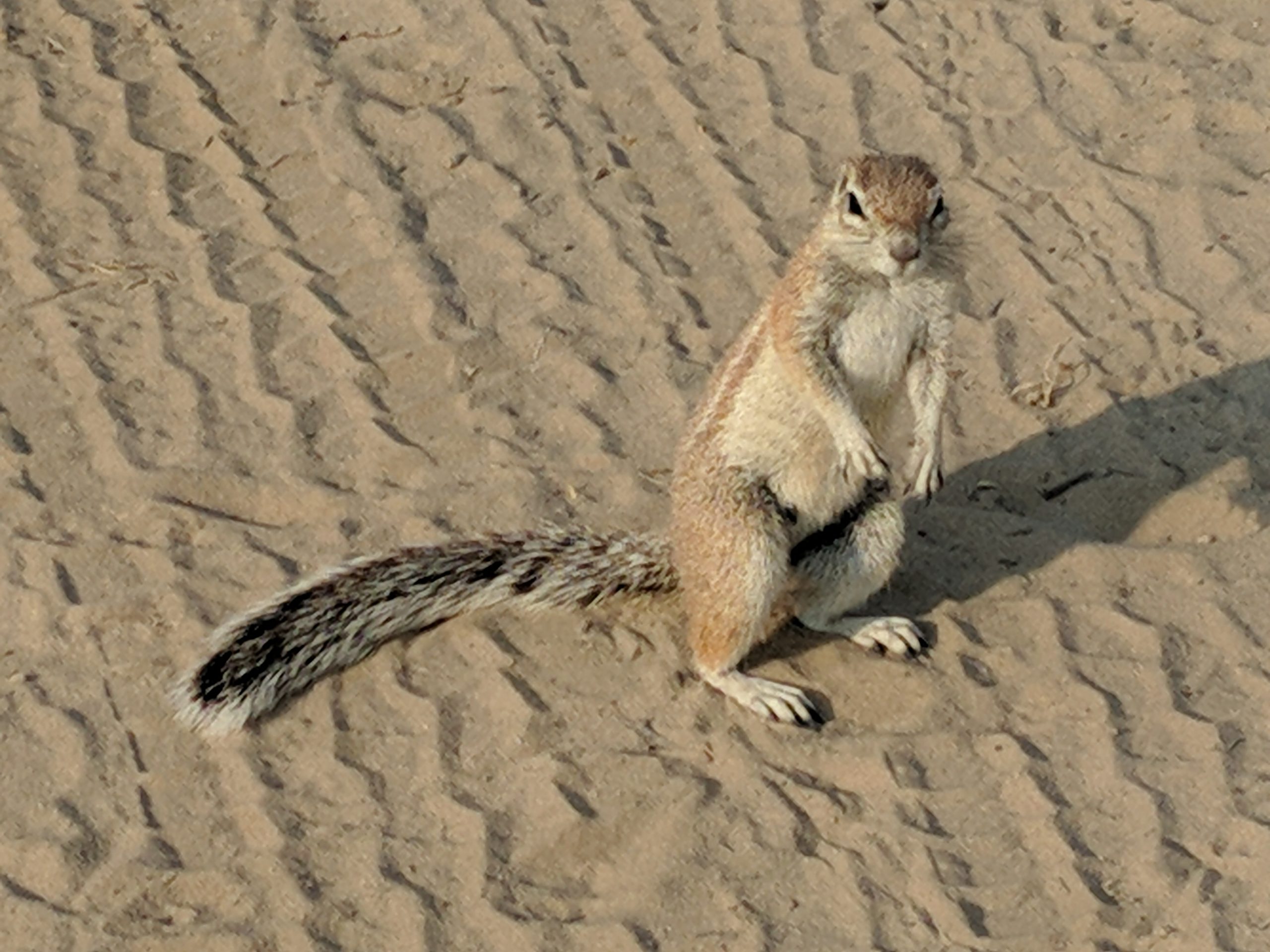
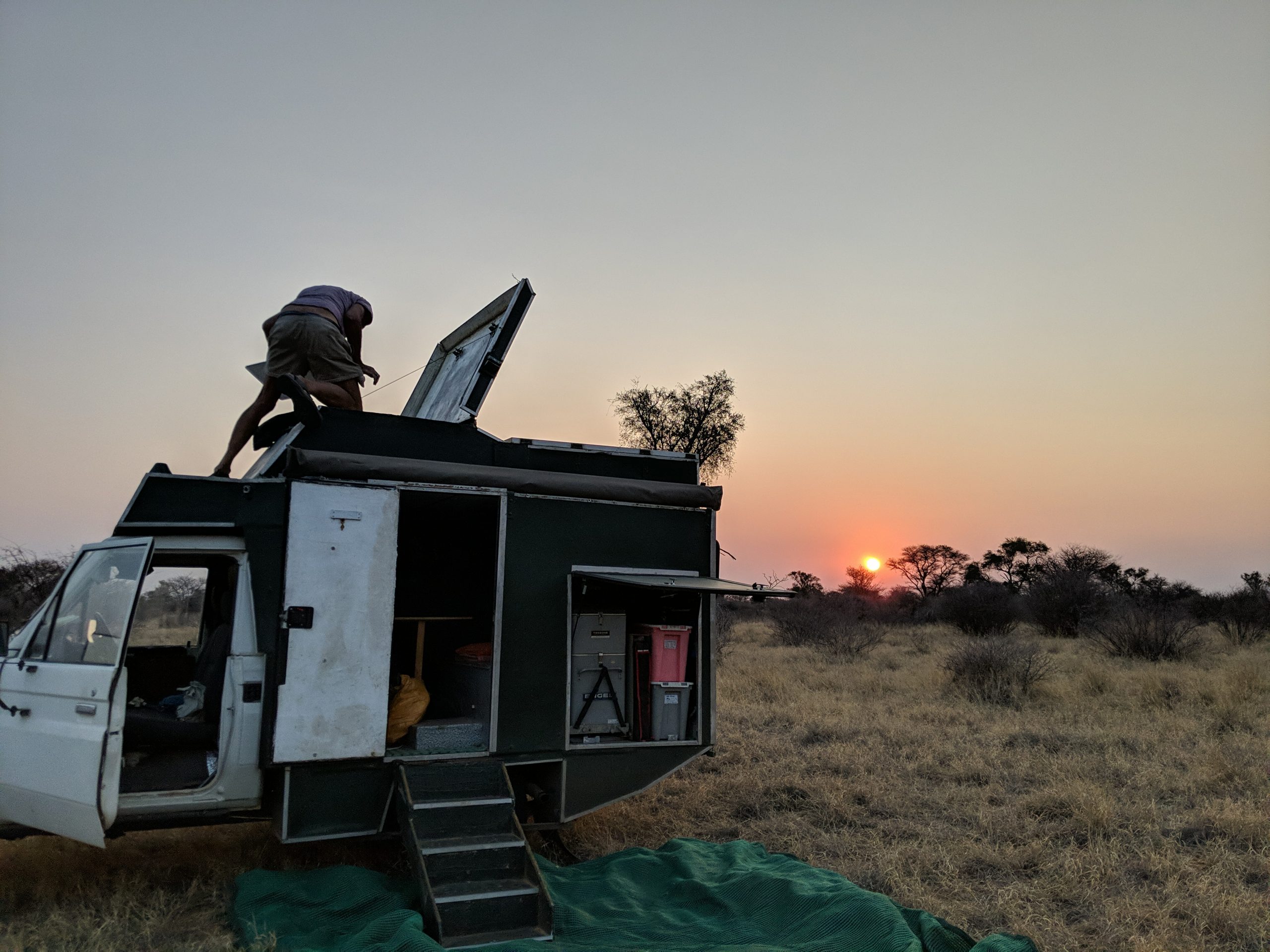
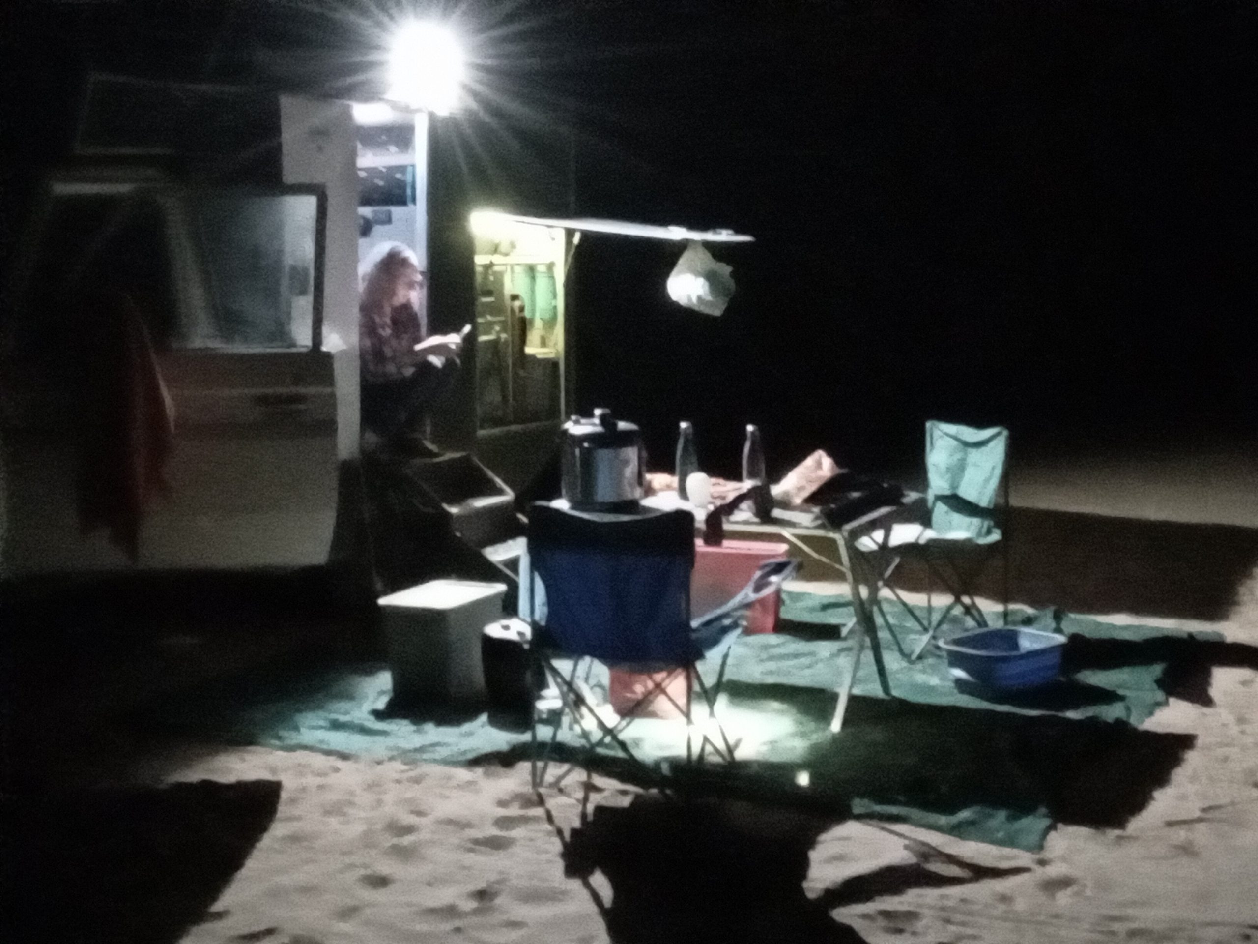
The four days we spent at Nunda were hot, around 39C. We used the swimming pool a few times. I rode my bicycle into Divundu a couple of times, 16km return. I installed an external 240v  power point so we can get power outside the camper when we are camped with 240v power. The hippos visited almost every night. We often had a Hippo only 3m away from our tent.

Sitting at the bar watching the Okavango River
Nandu campsite
getting ready to ride into Divundu
A hippo just below our tent

Guma Lagoon to Tsodilo Hills

We left Guma Lagoon early, partly so we would traverse the 10km sandy track to Etsha 13 when it was cool, making the sandy track easier to drive on. We re-inflated our tyres at Etsha 13, only to find our compressor air line had a leak, but not bad enough to stop us inflating them. We headed up the crumbling bitumen of the A35 towards the turn-off to Tsodilo Hills. The road to Tsodilo hills is a dusty track, and at its end we reached the Tsodilo Hills community campsite. We paid out dues and checked out the campsite. Then we headed up to the Museum and the guides that could take us around the rock paintings. We arrived and found several other people at the museum, including a couple of Australians who were a bit surprised to find a South Australian registered car driving around Botswana. A guide came up and introduced himself, and persuaded us not to do the whole Rhino walk, but just to the do the first half and turn around. It was a hot afternoon, and not the ideal time to be hiking around the Tsolido Hills. The paintings were interesting. Some of the descriptions of the paintings seemed a little dubious, and the age of the paintings must vary a lot because the styles are so different.

After a hot walk of a couple of hours, we finished at 3pm, and retired to our campsite, where there was an overflowing tank bringing all sorts of animals from around.

Approaching the Tsolido Hills. They dominate the landscape of flat Botswana.
the coloured Sandstone of the Tsolido Hills
Boabab
the Rhino trail


s

Camped at the Tsolido Hills community campsite


the donkeys came from all around to drink at the waterhole created by an overflowing water tank.

Thakadu Bush Camp to Guma Lagoon

The never ending dust at Thakudu was getting to us after 4 days, so it was time to move north. A suggestion by Bart, and an email inquiry and we were heading north from Ghanzi to Guma Lagoon. We drove into Ghanzi, first for supplies, and for Greg to get a severe  haircut at a roadside stall for $A6. We then headed north, stopping part way to offer a touring bicycle rider some water, and hear his stories of bicycle touring Africa. We wild camped about 340km north about a kilometre off the road, never seeing anyone.  The next day we drove about 70km to Etsha 13, towns that were previously refugee camps for Angolians from the Angolian civil war. Then it was a sandy 10km drive to Guma Lagoon. We deflated the tyres and wandered amongst the many tracks, passing some elephants in the distance until we got to Guma Lagoon. We planned to stay four days at Guma Lagoon. Unfortunately there was no mains power, and we were camped under trees. So we struggled for power, and the starlink dish struggled for internet through the trees. However we went on a “night drive” in a boat out on the lagoon, seeing birds and crocodiles. Then another day we took a two hour birdwatching boat trip out on the lagoon.

Greg’s severe $6 roadside haircut


the sandy track to Guma Lagoon


Lowering tyre pressure


Winding our way through the tracks at Etsha 13
the view from the deck at Guma Lagoon
First campsite at Guma Lagoon. Starlink dish on the ground that sort of worked, before we had to shift campsites.
Karen with the crocodile caught by our night drive boat driver
Spotlighting on the night drive
Karen working being a digital nomad again
First successful attempt at Roosterkeok bread
Our boat driver on our two hour day drive
the lush parts of Guma Lagoon
Malachite kingfisher
Crocodile basking on log
African fishing Eagle
Sitting on the deck at Guma Lagoon


KAA camp to Kalahari Rest Lodge to Thakadu Bush Camp

After our interesting morning with lions we headed North East towards Hukuntsi. It was a sandy track up to Zutswa, where we paid a donation of 100pula for using the track. Then the road got better towards Hukunsi. There were some road workers in a truck just out of Zutswa who flagged us down because they needed a jump start for their truck. We tried out new battery jump-starter, not expecting it to work on a truck (with two batteries), but it started it straight away, to the surprise of the truck driver.

We continued onto Hunkunsi and stopped at the Puma to get diesel, however they were out, waiting for a delivery. This complicated things. We were going to head north out of Hukuntsi, but we didn’t have enough fuel, so this would mean we would have to drive east to Kang. We got some supplies at the supermarket, and then headed east on a nice new road to Kang. At Kang it was the same story, no diesel at the Puma, however he directed us up the road to another servo, where we obtained diesel.

It was then a 24km drive to Kalahari Rest Lodge for an overnight stop. Next morning we left a bit later for the drive up the A2 highway to Ghanzi. We shopped at the Shoprite supermarket, getting some supplies for the three days we intended to stay at Thakadu Bush Camp. Thakadu Bush Camp is 8km out of Ghanzi, 3km off the highway, and we found a good campsite there.

On the track to Zutshwa
Social weaver bird nests
more weaver bird nests
along the track to Zutswa
One of the many dead trees that litter the area
We passed several pans
Camped at Kalahari Rest Lodge
We passed many ostriches on the road to Ghanzi
Camped at Thakadu Bush Camp

KAA cut line to KAA camp

After leaving our camp on the KAA cutline, we continued North-west. After 9km we stopped to talk to three people who were surveying lions. A South African, and two Botswanan trackers. They were looking for lions so they could work out the distribution. The Botswanan trackers told us how they tracked the lions, and they showed no fear of tracking the lions quite close.

We got to the KAA gate of the  Kalahari Transfrontier Park around 1pm. The gate was surrounded by fences, all the gates closed, to keep lions out. We camped at campsite number 1, which had a toilet and a (broken) shower, and a basin with bore water. We were warned that there were lions around.

We setup overlooking the pan, there were no other campers around. We went to bed that night keeping a lookout for lions, but leaving a fair bit of stuff outside. During the night we heard lions several times. In the morning karen told me there were noises outside, so I got up and opened the camper door, to find three lions. Two of the lions were about 1.5m away taking turns to try to pull apart the folded up shower tent with their teeth and claws.

The three lions left. We didn’t see or hear any lions until four nights later, our last night at KAA campsite. We were awoken around 4:30am by two lions passing a couple of metres from the camper. We woke up again at 5:30am and drove to the nearby waterhole, but were stopped about 150m from our campsite by two male lions sitting either side of the road waiting in the dark. At dawn we followed the two lions to the waterhole, and watched them drink. Then we followed them in the camper up the road where they met up with the rest of the clan – in total 7 lions. Two males, three females and two cubs.

The two cubs who dragged the shower tent away from the camper and continued to try to rip it apart.
Mother lion looking on at the cubs
The jackel which visited camp several times
Sunset from KAA campsite
Putting out the solar panels early to get power.
One of the two lions we found waiting in the dark, about 150m from camp on the last morning
the two lions having walked up to the waterhole


One of the lion cubs amongst the 7 lions that we found another 100m away
Another couple of lions from the group of 7

Mubuasehube Pan to 60km along the KAA cut line

We spent two days at Mubuasehube Pan campsite 4. There were lions growling both nights. The lions spent both nights at the neighboring campsite about 200m away. We could see the lions walking along the pan the next day. We left Mubuasehube Pan and headed north to where the Tracks4Africa map showed it intersected with the KAA cutline. However before we got far we bumped into the people from the adjacent campsite, who said the road was blocked. We turned around and headed for the Mubuasehube gate. We headed north, stopped after a while to pump up the tyres, and eventually got to the KAA cutline. We headed about 40km along, stopping at a pan that crossed the cutline. We stopped about 2pm. About 7pm that night the first vehicle that we had seen drove past, and turned into talk to us. It was a ranger from KAA camp. He was worried about lions, and that we were too far from the track. We told him we would get going the next morning. We didn’t see or hear any lions that night.

Sunset at Mubuasehube Pan campsite 4
Mubuasehube Pan campsite 4
Our Australian flag tyre cover, coated with dust.
Lion footprints we saw leaving camp
Mubuasehube Pan from the North
overlooking Mubuasehube Pan
Hornbills at Mubuasehube Pan campsite 4
Hornbill at Mubuasehube Pan campsite 4
Karen doing her digital nomad thing working.
Sunset from Mubuasehube Pan campsite 4
Ground squirrel
Pea hen


Camped on the KAA cutline

50km west of Makopong to Mubuasehube Pan

We got going early, by 7:20am. We back-tracked towards Makopong, taking shortcuts along some fences where we knew the way. We were at a gate when a Toyota Landcruiser bakkie rolled up with a South African manager on board. He had noticed our tracks the previous day. He had left the front gate, the first we encountered, unlocked, because he was off firefighting. As a result we drove in. He kindly drove back to the front gate to unlock it (it was now locked) to let us out. It was great to chat with him.

We then drove the 40km back to Makopong, and then pumped up our tyres. It was then down the road to Tsabong. We refueled at Tsabong, then got some apples at Choppies, and then headed north to Mubuasehube park. The road was not too bad, but about 40km south of Mubuasehube, it got very sandy. Lower the tyre pressures again, and continue on getting to the gate at 3:30pm. We got our permit and headed to Mubuasehube Pan and our campsite for two nights.


Damage to the fibreglass from a piece of wood that jammed itself in

Our rescuer from getting lost on the track

Cornwall Safari Lodge to 50km west of Makopong

We left late from Cornwall Safari Lodge, we thought we had plenty of time. We headed to Werda, and got some meat at the local store. Then it was down the road to Phepeng for extra fuel. Then back 22km up the road to Makopong and the turnoff for a sandy track that headed for 120km to Mabuasehube park. It was a very sandy track, and almost immediately we had to lower our tyre pressures. We got about 50km along the sandy track when we came across a gate. The gate was unlocked so we continued on finding more and more gates. Then the track was blocked by fences, and we would have to detour along the fence, find a gate, and then rejoin the track.  The track was more and more overgrown. We eventually reached a fence and a locked gate, with another fence beyond it with another locked gate. We decided that the track just wasn’t in use anymore, and we would have to turn back. We camped along side the track, with cattle sitting nearby.

the start of the sandy track


Getting the starlink dish out at sunset

Kameel (South Africa) to Cornwall Safari Lodge (Botswana)

We left Kameel after 3 days. Karen was working. I changed the diff oil. Built a 12v power supply for Karen’s laptop, and replaced the hose that had lasted for four years, pumping water up to the hot water system on the roof. Kameel was a great place to stay.

We headed to Vyburg, because the road was better that way, although 45km longer. The border post was only open until 4pm, but we thought we had plenty of time. We stopped in Vyburg for fuel, and at a PnP for more fruit and veg. As we headed out of Vyburg I programmed the GPS for the target of Bray. It showed we would arrive at 3:05pm, which was not optimal. The road was good until about 40km from Bray, when it turned to rough dirt. We arrived in Bray at about 3:20pm, and then got slightly lost finding the border post. Arriving at the border post at 3:30pm was not good. If the South African side was slow we would never make it to the Botswana side.  However the South African side was pretty fast, never asking anything about the vehicle, which yet again did not have a TIP (temporary import permit). The Botswana side was efficent, and at ten minutes to closing time we drove into Botswana. We found a supermarket where we could get cash out on a credit card, at a fee of 10%. Then we got a Botswana sim card, and filled up with fuel at the Service station. It was a 31km drive to Cornwall Safari Lodge. The camping there was OK. There was power and hot showers (although not very good ones). We got the Starlink dish up and running and had internet for the evening.

Better than a “beware of dog” sign
Camped just before sunset
A rising red full moon that the camera does not capture