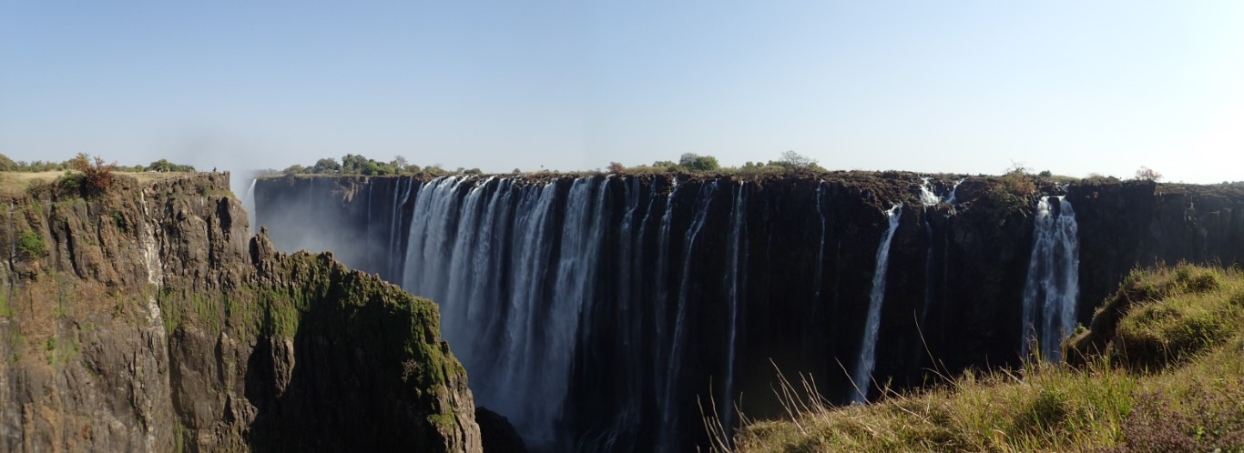
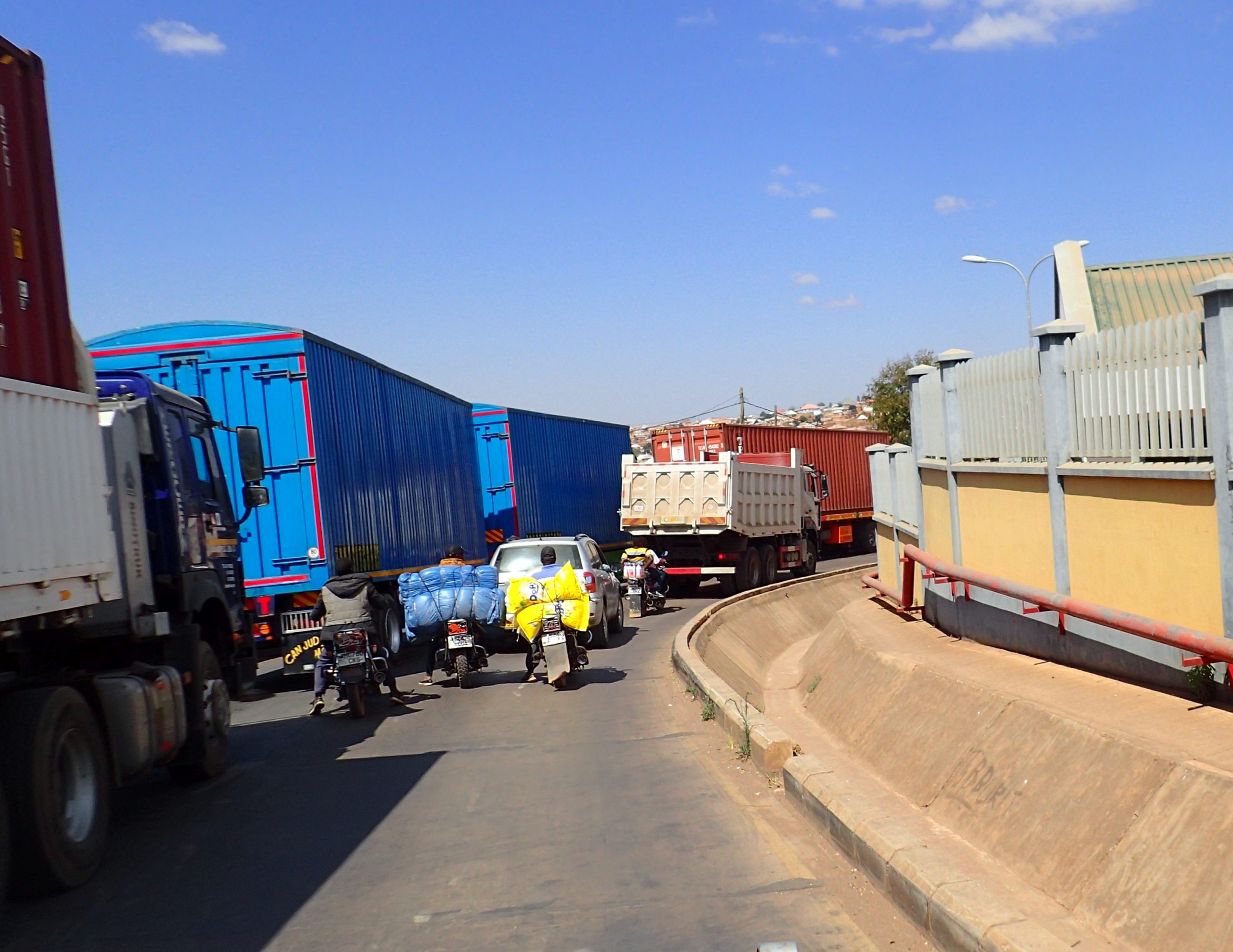
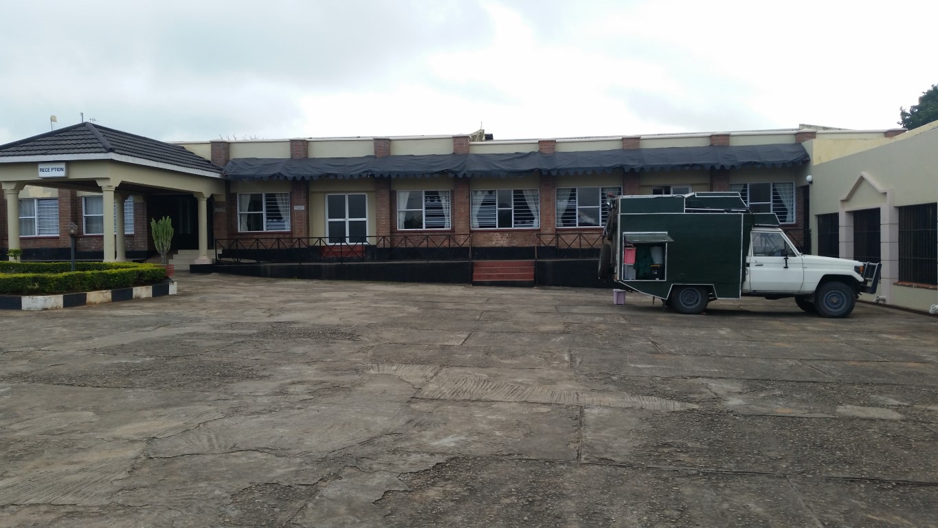
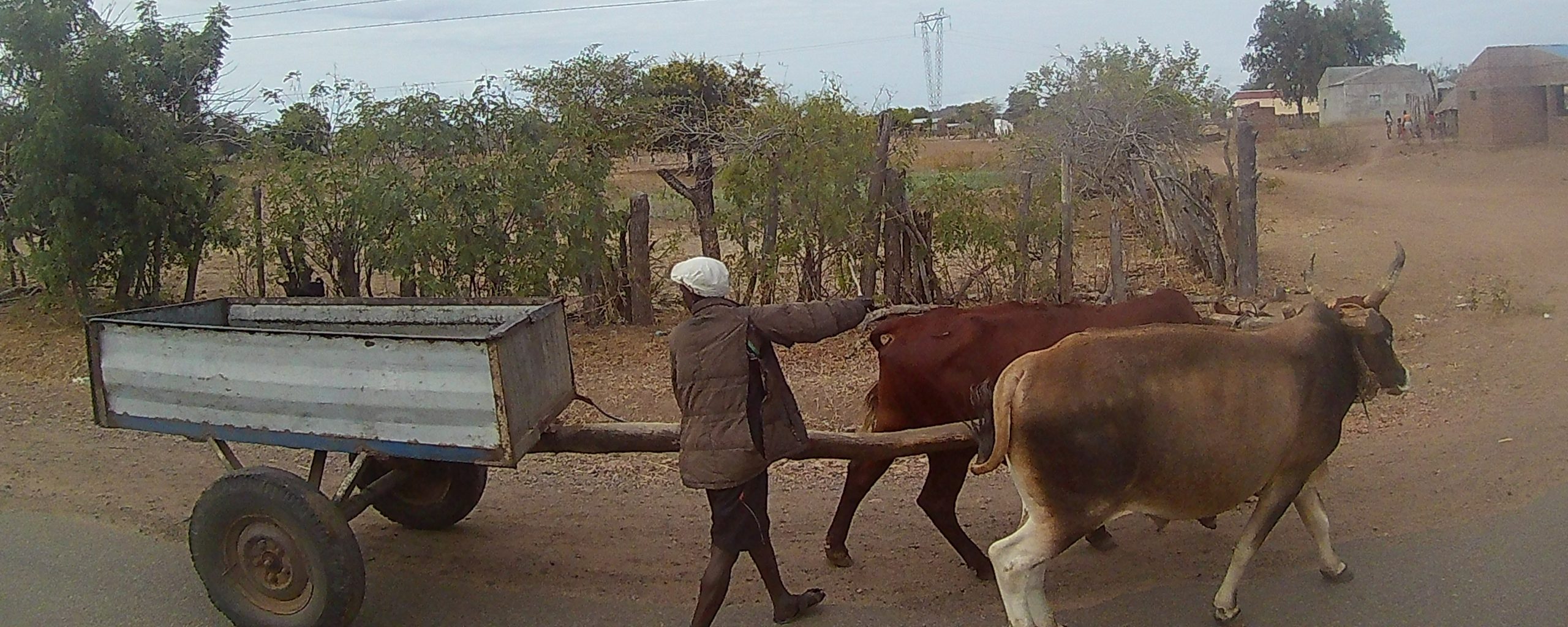
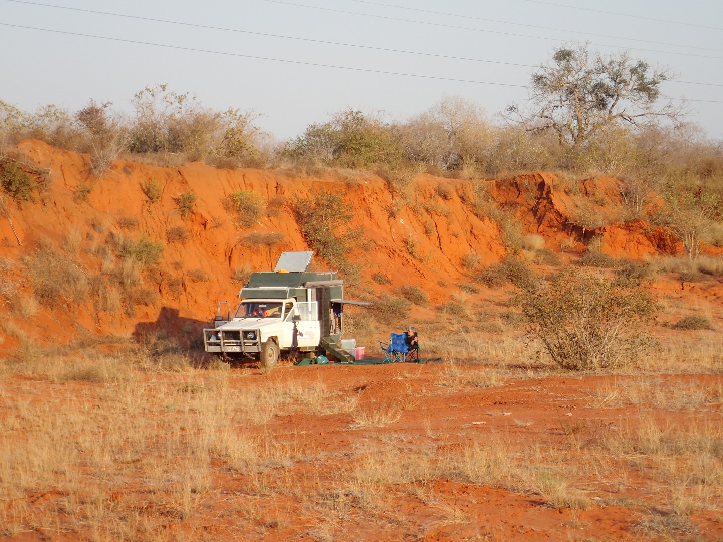
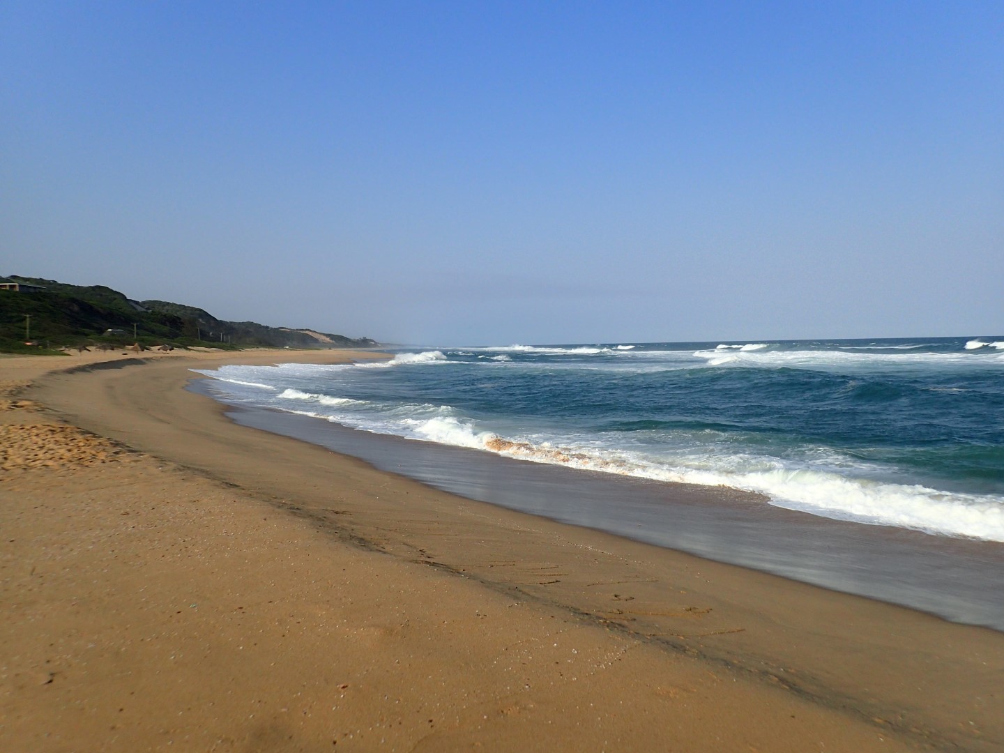
I packed up and drove down to Victoria Falls, expecting as I got close some enormous car park where I would park Clancy for a fee. Instead I ended up driving to the border building and realising this wasn’t it. I drove back and found the entrance to the falls. I parked on the road with the trucks waiting for the border. It was just me, no enormous car park. I guess not many people drive to Victoria Falls, they are driven there.
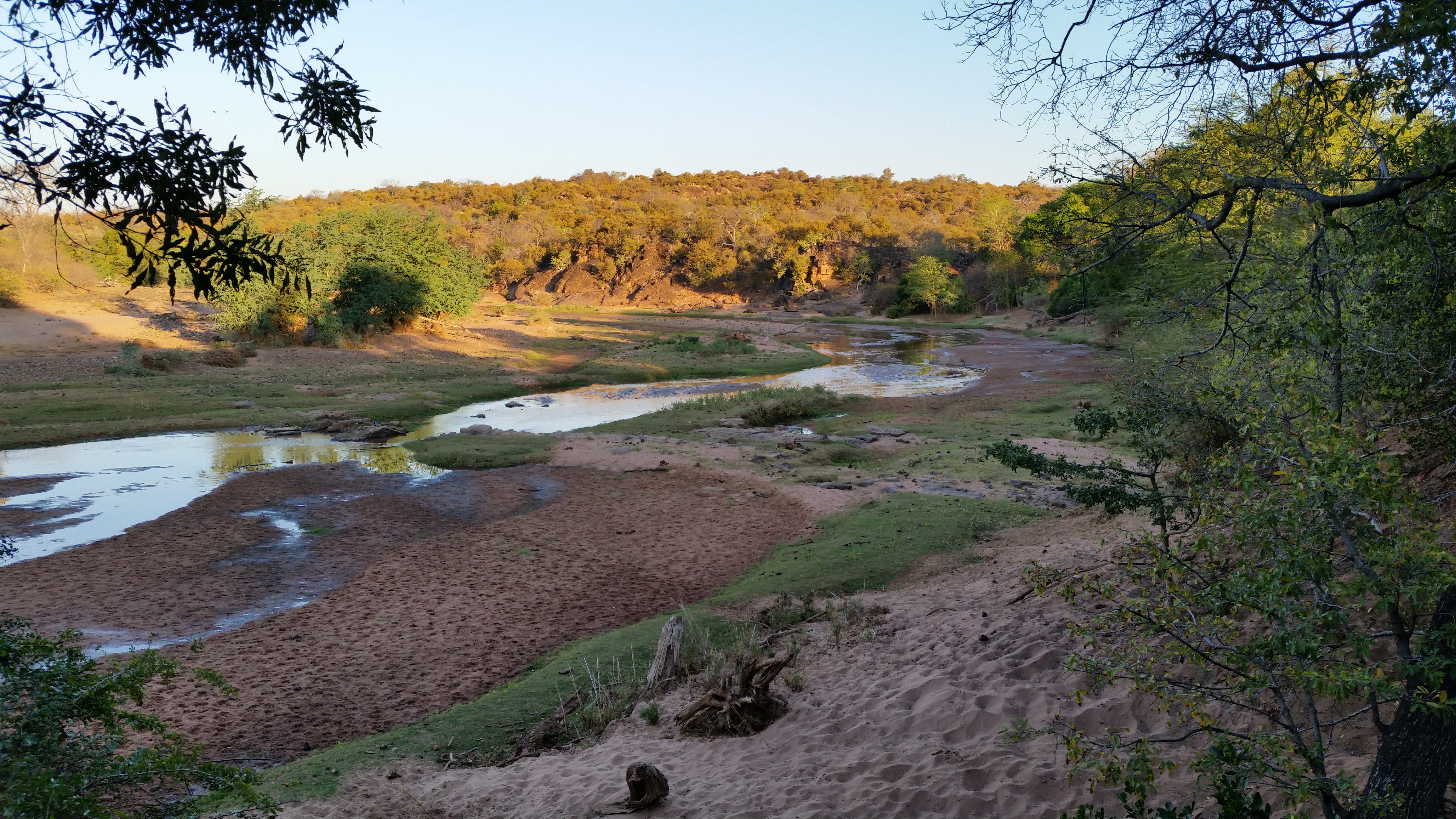
So I paid about $A30 to enter. Didn’t need to show my passport, even though the sign said I did. I took my raincoat and entered into the Falls area. Since I had already seen it from the Zimbabwean side, I knew what it was like. I think this time the falls were drier and thus easier to see. Less spray blocking the view. I tend to think though to really see Victoria Falls you probably need to go up in a Helicopter.
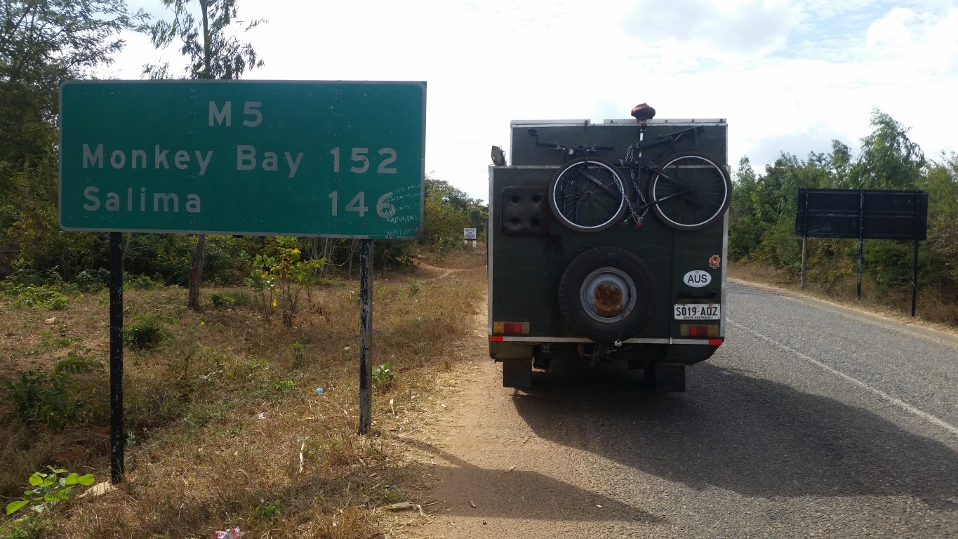
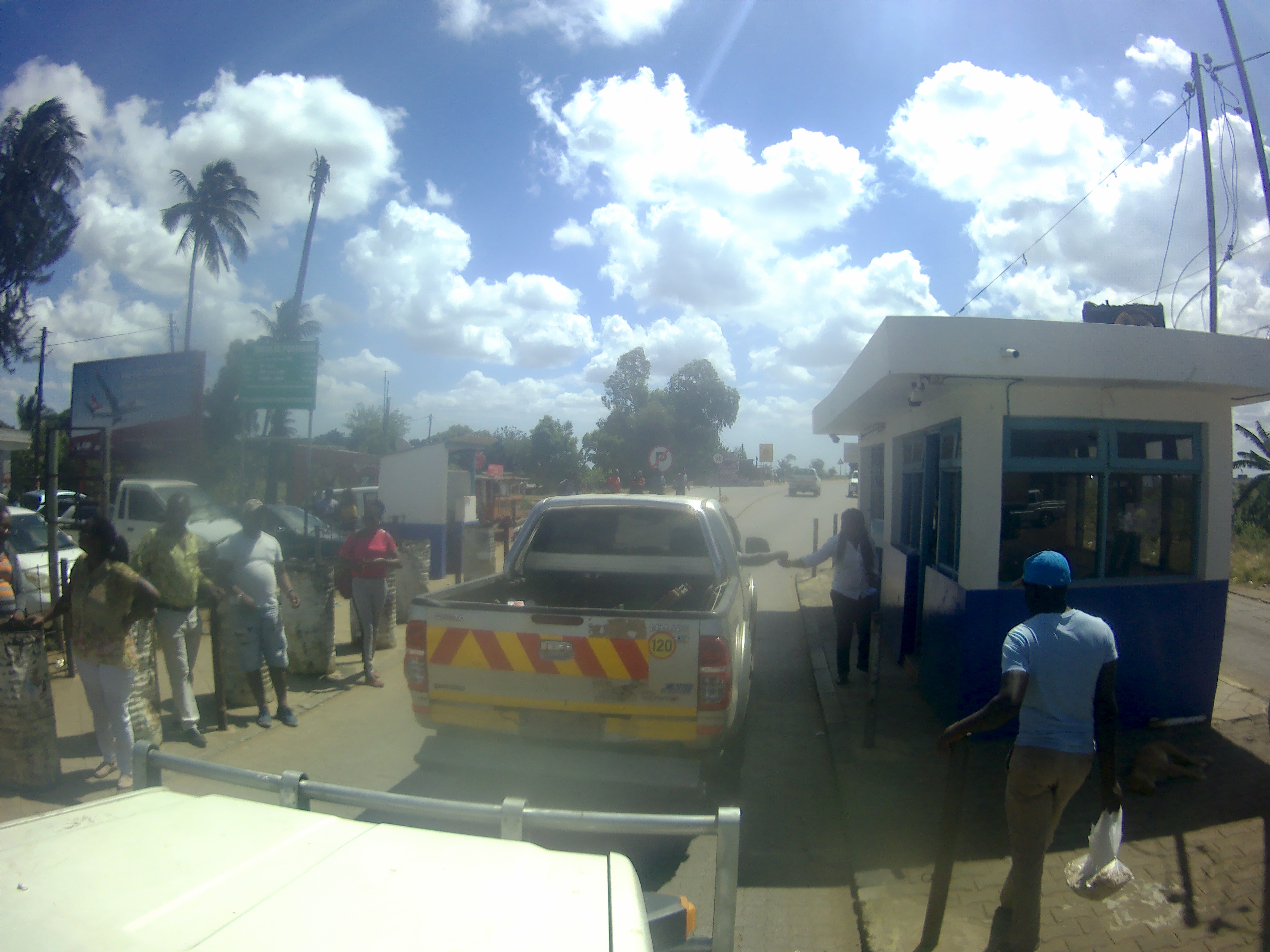
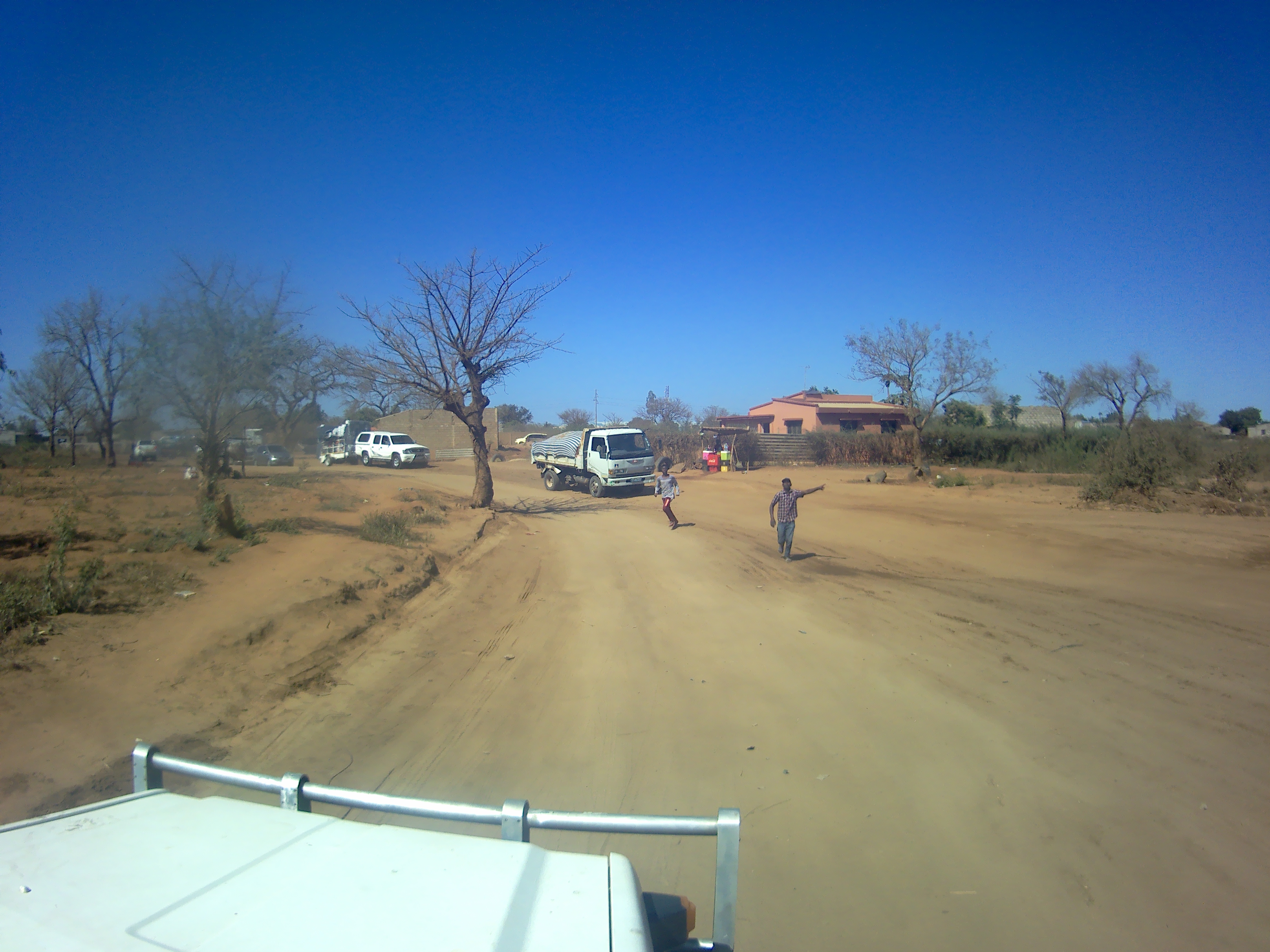
After 30 minutes of viewing I was off. I stopped at Shoprite for some more supplies and headed of to the border, it was 70km away. I was going to use the last of my Kw buying fuel at the border, but that was a mistake because there was no fuel station. I drove up the approaches to the bridge, with fixers trying to wave me down, and me ignoring them and driving past. I drove over the bridge, and was sent to the Health building where they took note of my vax certificate. I then drove to the main building were someone at the front told me where to go. I visited Zambia Immigration, no forms just another stamp. Then Zambian customs where he took some of the enormous number of pieces of paper I had gathered in Zambia. Then it was over to Botswana immigration where I got my visa and then my bridge toll and road tax, all paid by credit card. Botswana is so civilised. That was all done in about 15 minutes. Then it was out to car inspection, which was a superficial look, they are more interested that the car comes from Australia. Then I was out. The whole process took 30 minutes, its the best border crossing I have ever done!
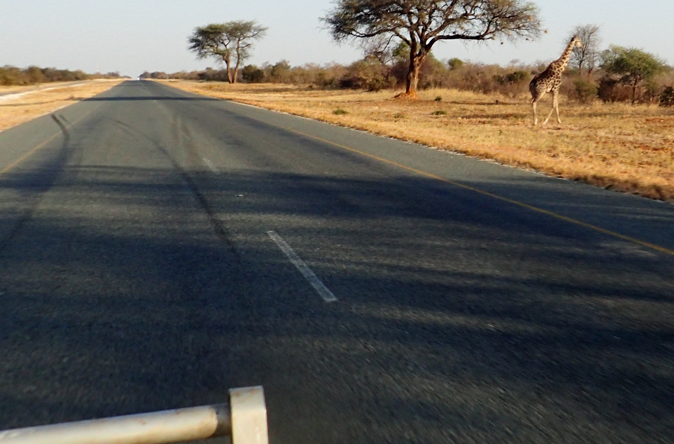
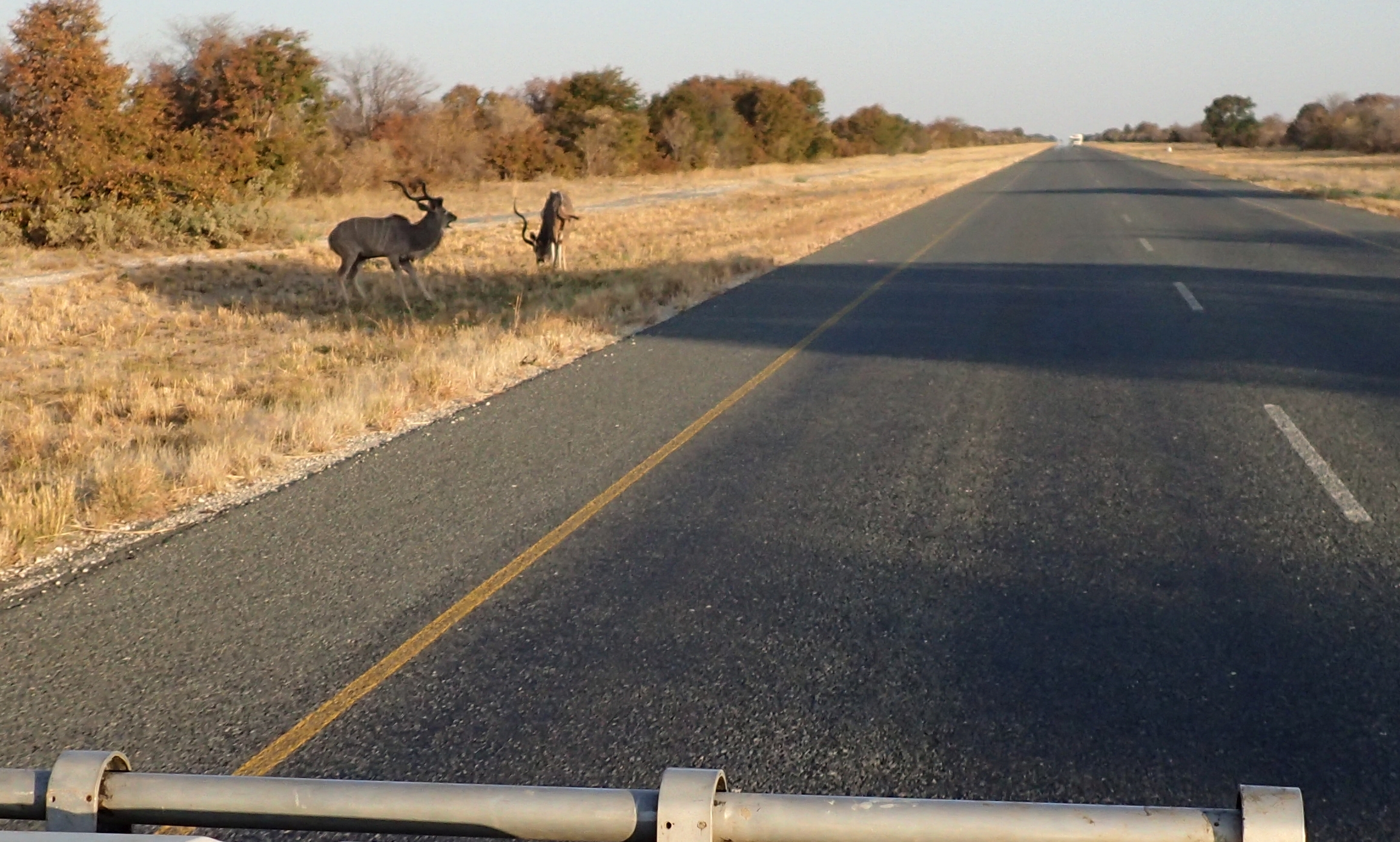
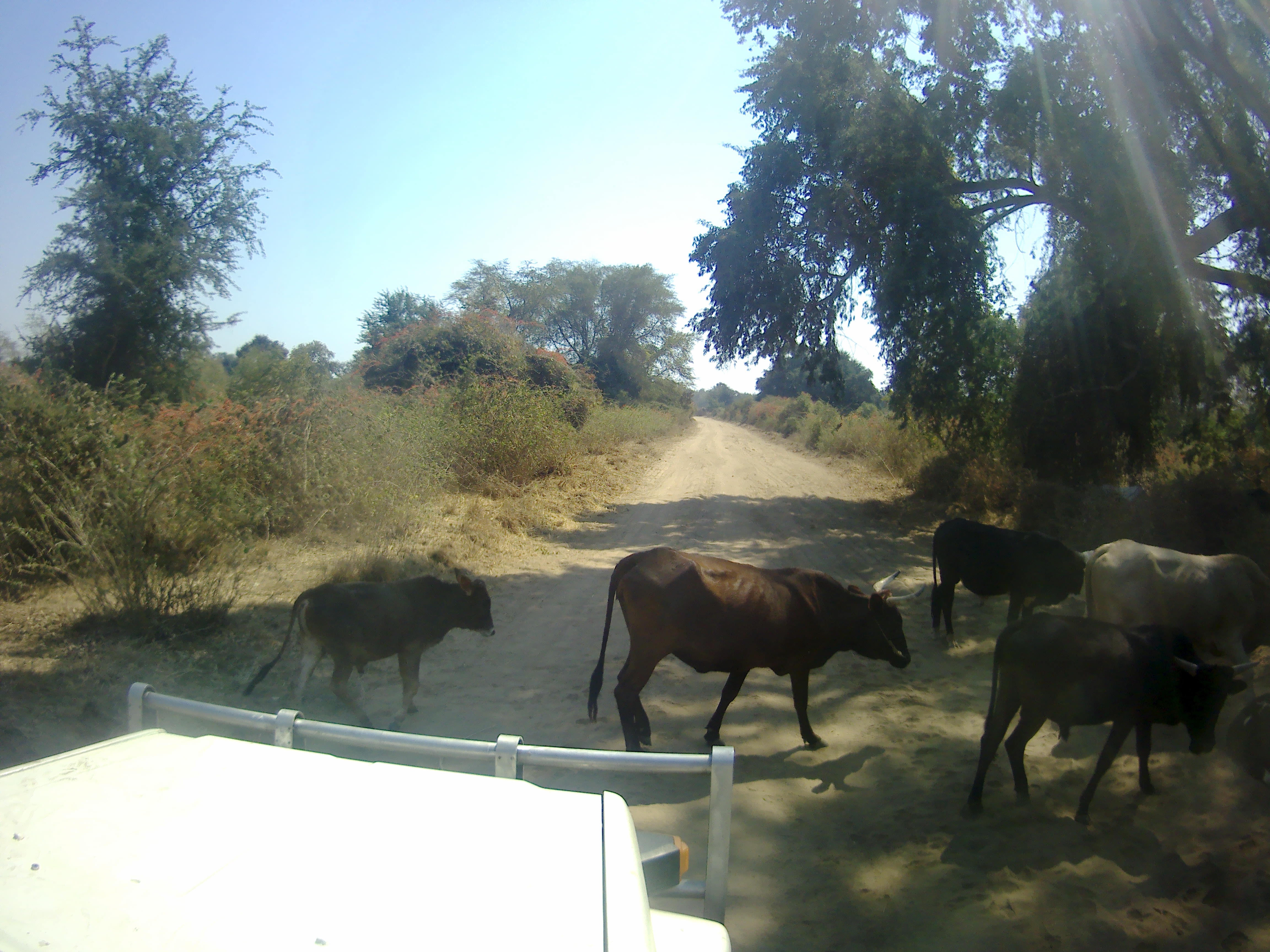
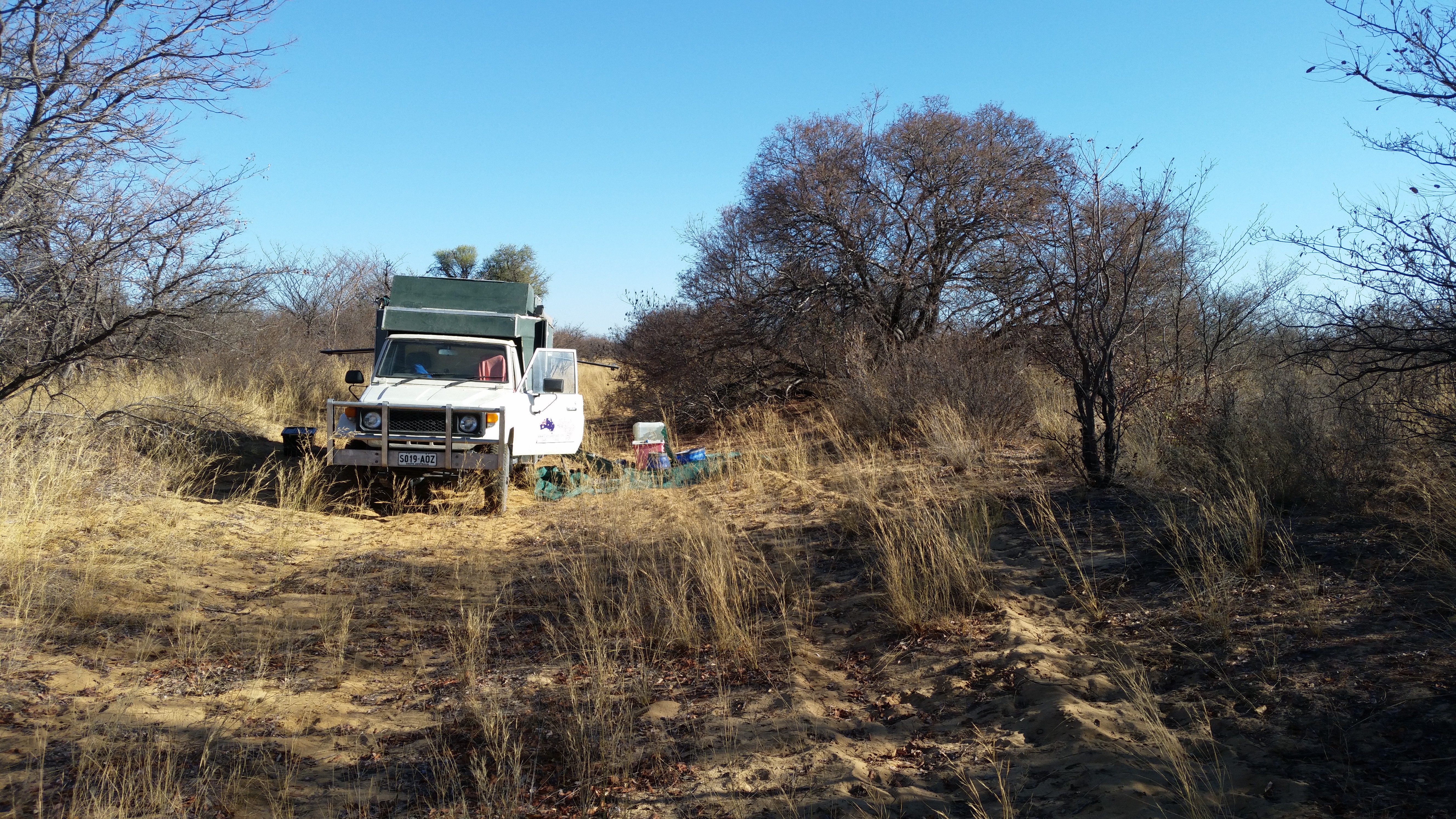
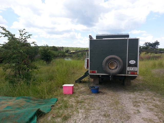
I went to a money exchange then got some Pula in exchange for Rand. Then got a sim card with some data. Then some fuel, again paid with credit card, then off down the road. I was aiming for Panda camp 100km south. However when I got there I knew I could do another 100km. So I aimed for a wild camp another 100km south. Close to sunset, with a bit of searching I found it. Since I have seen Elephants, Oryx, and Giraffe on this road, I will have to be careful tonight.
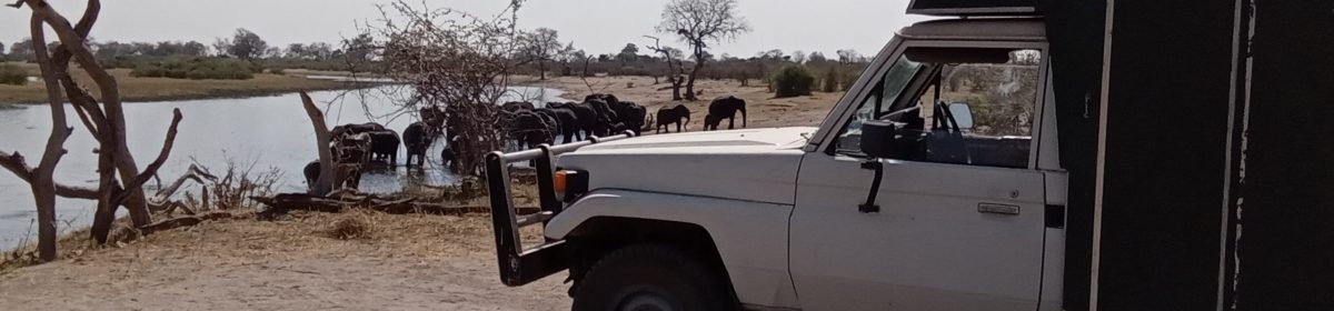
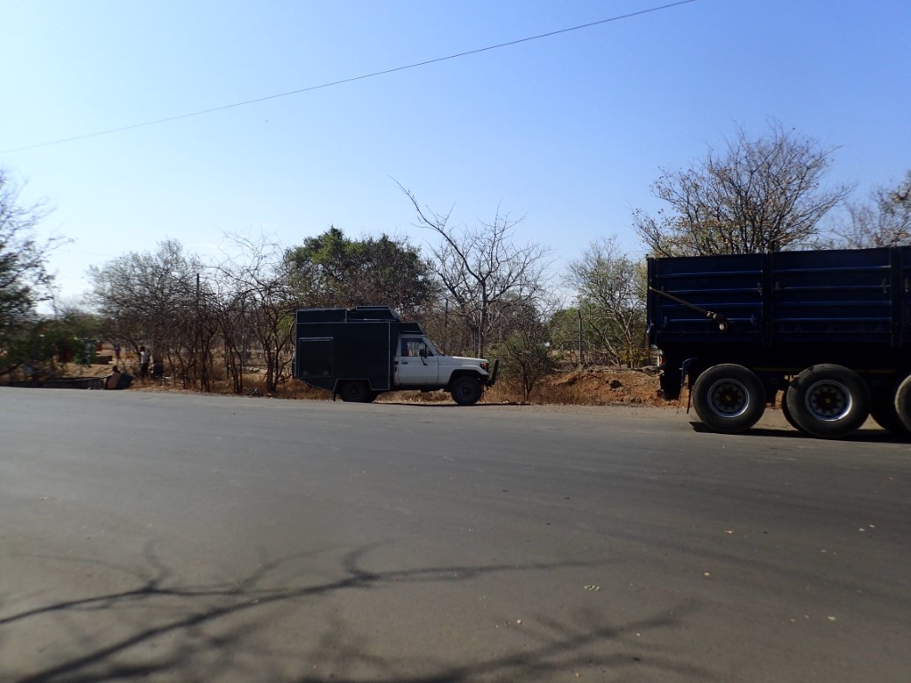
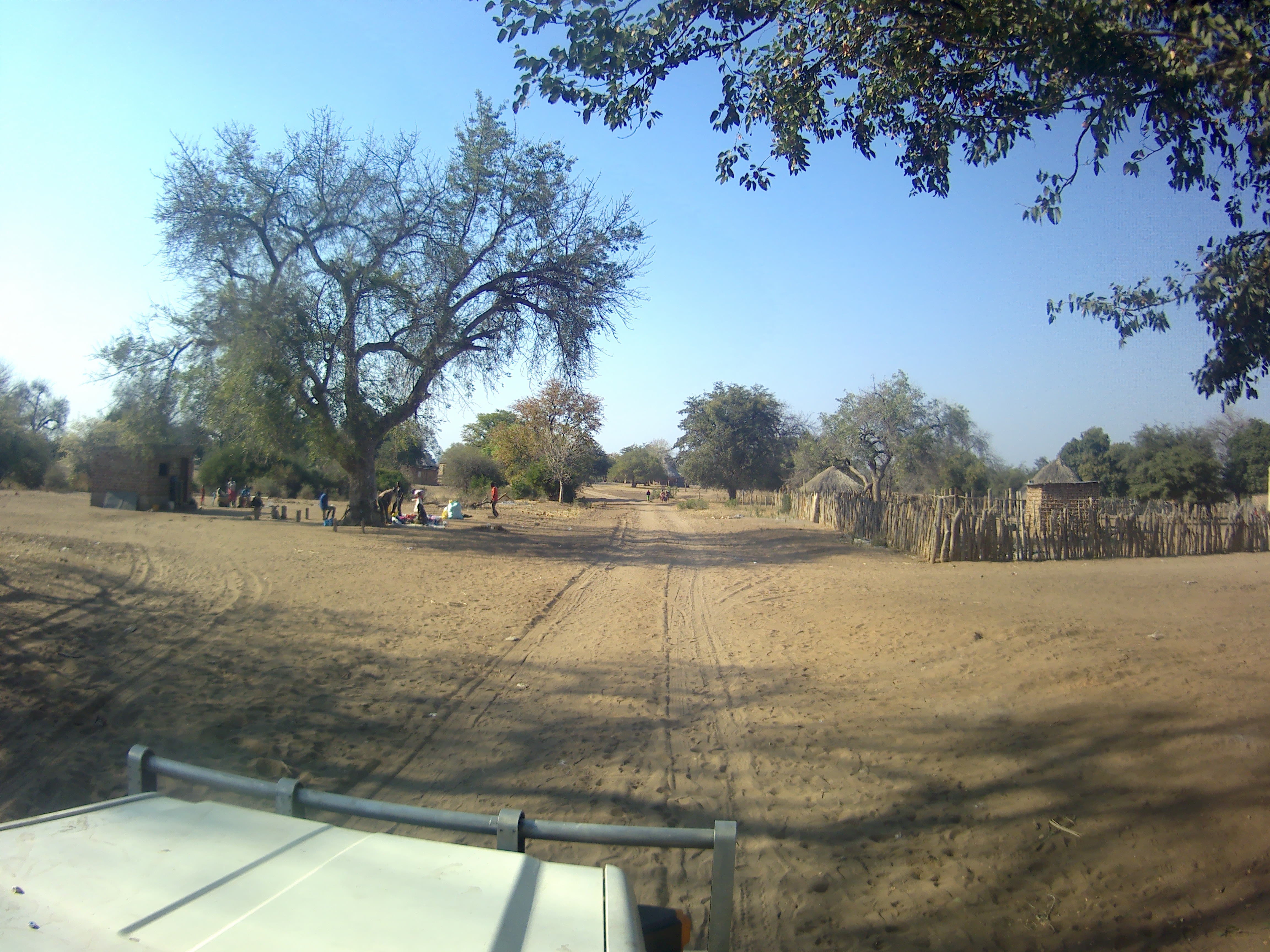
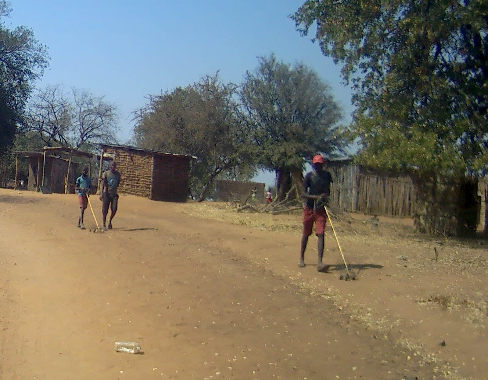
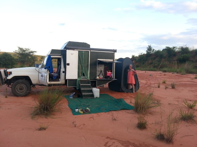
Victoria Falls looking over to the Zimbabwean sideThe only visitor who drove himself to the falls, the parking outside the entranceGiraffe crossing the road north of NataSome Oryx next to the road north of NataElephants next to the road north of Nata
Campsite at Moorings farm was good, because it was 2km from the road, and thus very quiet. Everyone left before me, I got to the main road by 9am. It was 350km to Livingstone.
Pretty uneventful drive. I passed a town around lunch time that advertised a Steers, which is a South African burger chain. I thought a chicken burger would make nice lunch. It cost 75 Kw and I handed over 100Kw, but as is typical of Zambia they don’t have enough change. It takes an extra 5 minutes to come up with 25Kw change (just over $A2). The campsite at Moorings charged 140Kw, but they cannot change 150Kw I gave them (less than $A1), so I paid 150Kw. Same with Wildlife Camp at Mfuwe, it cost me an extra 20Kw because they could not give me change. I find it interesting that the supplier of the service is never willing to take the loss.
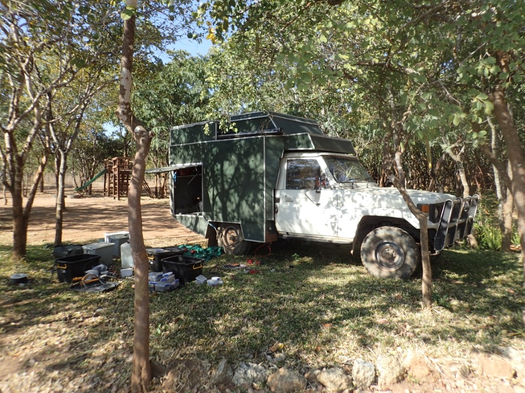
I stopped at the side of the road for a stretch, then went to start the car, and nothing. I had no ignition at all. I thought this is not good, as the battery failed already? A bit of investigation showed a broken fusible link. I think the link probably stretched under load with all the temporary cabling putting the AGM battery in. I temporarily fixed the link and everything was good.
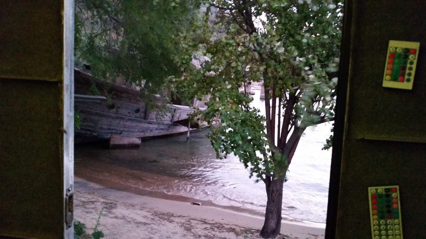
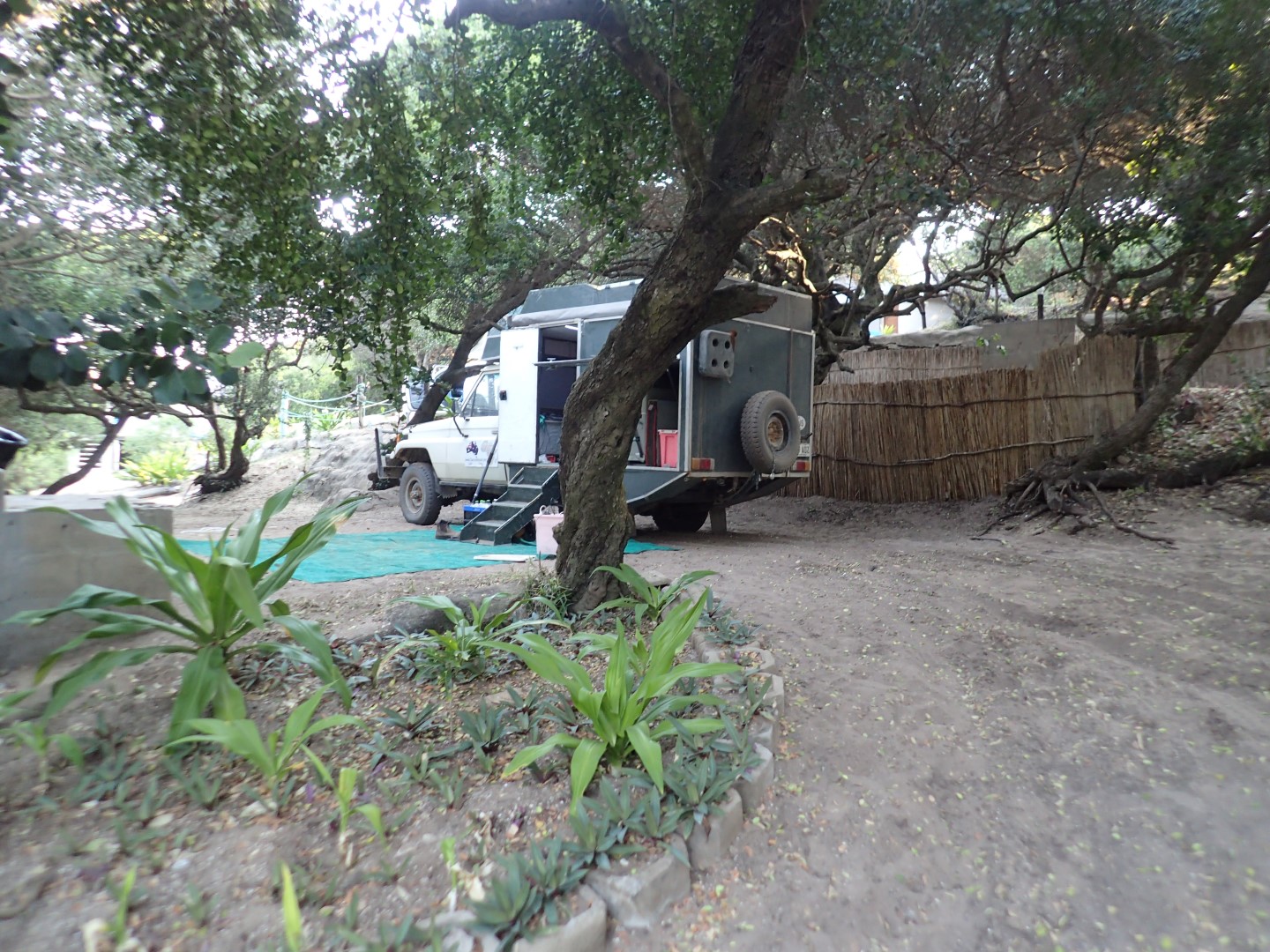
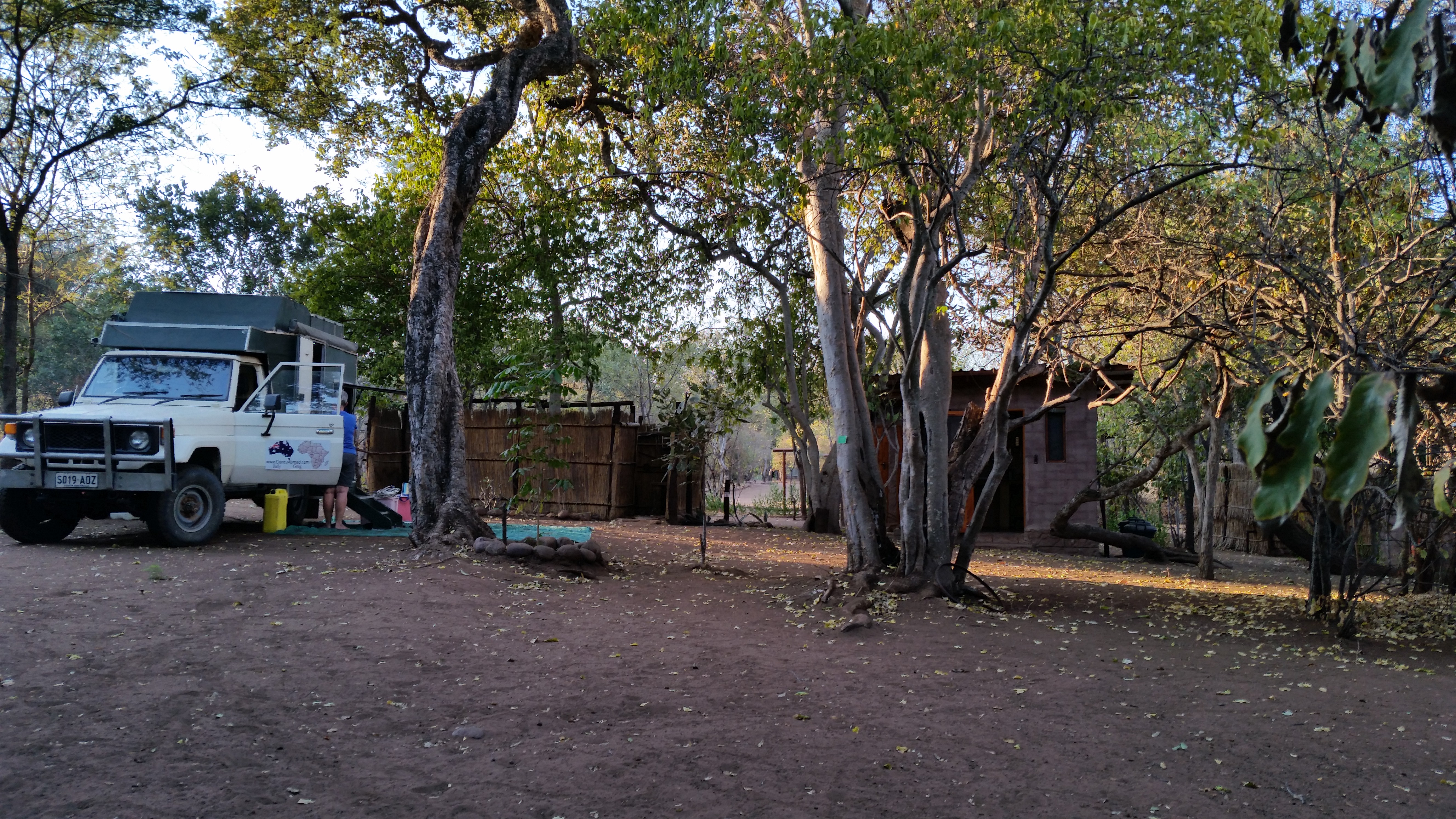
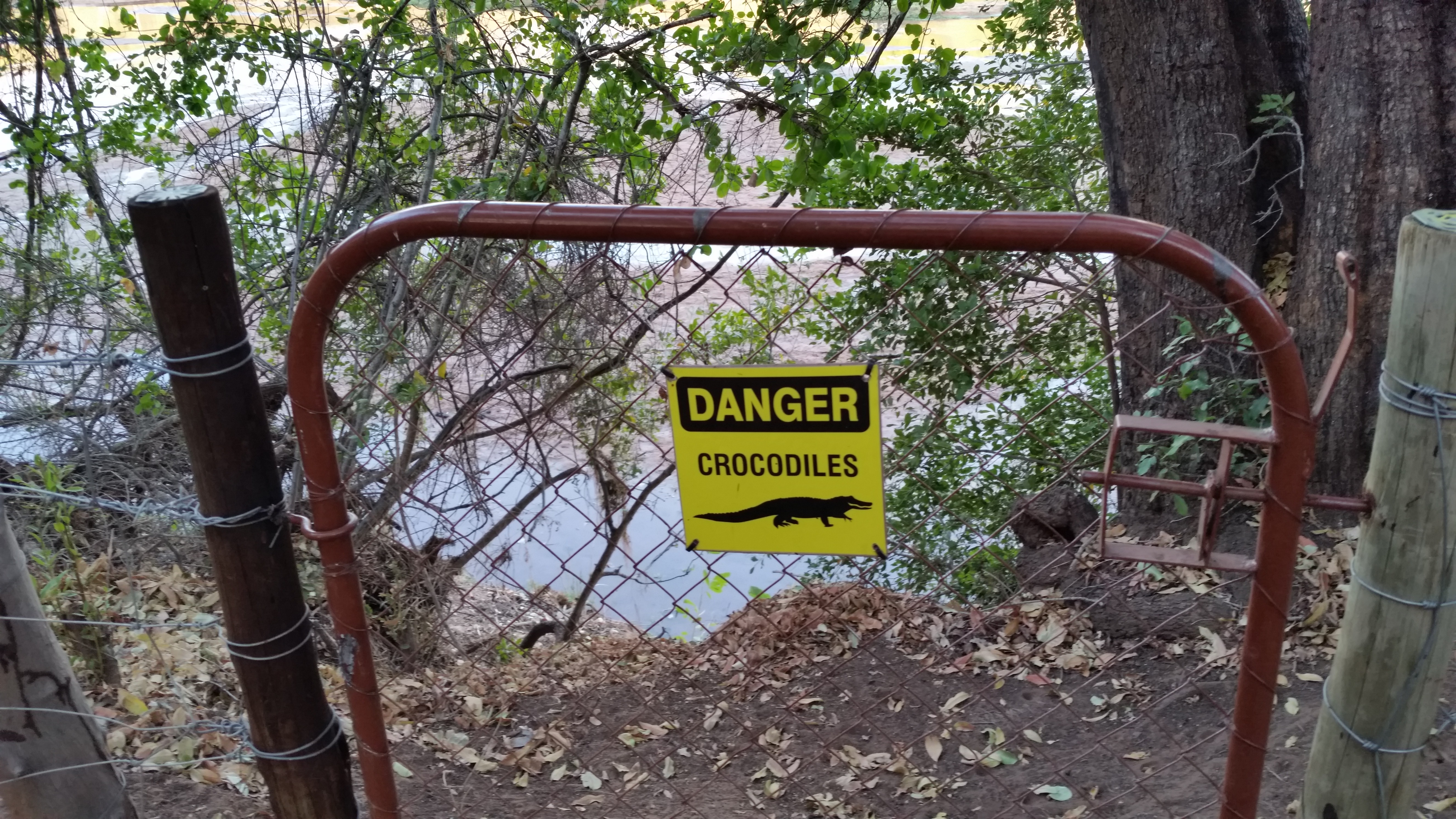
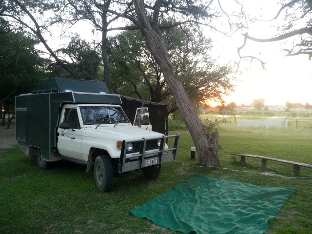
I got to Livingstone, stopped at the Shoprite, which was the most supplied one ever. I bought some pink lady apples. Then off to Thorn Tree lodge, about 2km from Victoria falls. There are elephant droppings everywhere, the lady who greeted me said they were here a few minutes ago. I can hear the helicopters making flights over the falls. I will go and see the falls tomorrow. I have seen the falls from the Zambezian side, tomorrow from the Zambian side.
After that its 75km to the Botswana border.
Broken down not starting, but I find the faulty fusible linkCamped at Thorn Tree lodge about 2km from Victoria fallsA motto to live by, at the bar at Thorn Tree lodge
I slept well at the Forest camp, but it was cold in the morning. I packed up and went to start the engine, and no start, battery problems again. This cranking battery is on its way out, the cold temperatures have weakened its cranking power. So I know how to fix this, and luckily it was sunny, although the sun was only just over the horizon. I got out the folding solar panel and connected it to the battery. Within about half and hour and some starting spray I had the engine going.
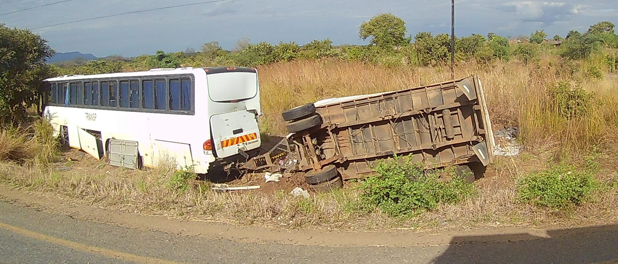
It was another 400m climb until I got to the top of the escarpment, with Clancy crawling slowly up the steep hills. I passed another truck accident, a dump truck on its side. Then it was a windy road down into Mbeya, with good views over the city. I tried to get fuel with a credit card at the Puma but no go. I tried to find a KCB bank which does not charge extra fees, but no go, so I went to and ATM and withdrew 400,000 Tsh (about $A250). Then stopped for fuel. I knew I was low, it took 67l, so I was down to my last 8l.
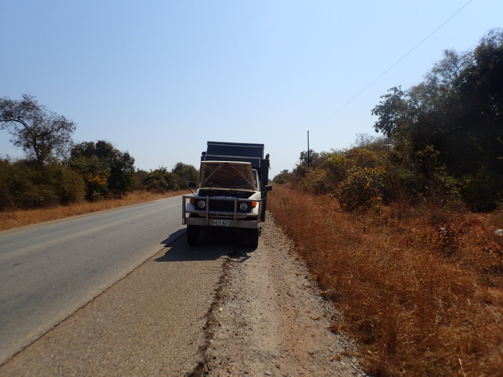
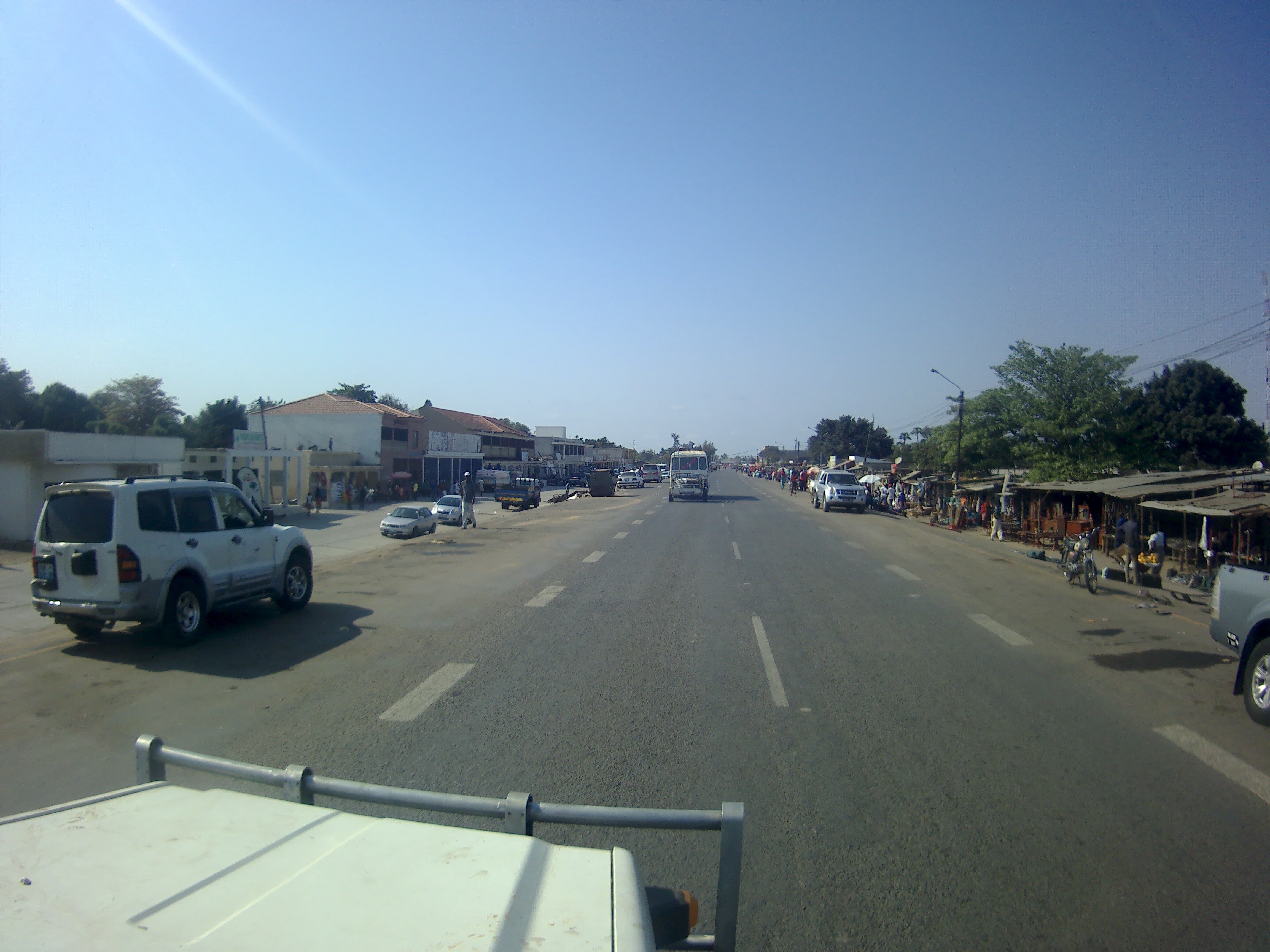
Then off through the crazy traffic in Mbeya, and the road to the border, which was about 80km away. The road to the border was crammed with trucks. Long conveys of trucks crawling up the hills, nose to tail so they are very difficult to overtake.
I had read lots of accounts on iOverlander about this border, and how complicated it was. I had decided that I would try to do it myself, but if I got into trouble I would call on Robert a fixer mentioned several times by iOverlander users. So as soon as I got to the roundabout to turn into the border crossing I was surrounded by fixers. I told them to go away, So I entered the Tanzania building, but I was soon completely confused. Someone told me I had to go to the Zambian building, which I wasn’t even sure where it was, so I went outside again to be surrounded by fixers. As it turns out one of the fixers was the famous Robert. So I engaged his services. We went through all the fees I would have to pay, and he seemed fairly reasonable. So we trudged from place to place, getting different pieces of paper. He left me to do the immigration part. So I got stamped out of Tanzania (where they wanted to scan my vax certificate – why?). Then it was getting a visa for Zambia. They had dropped the price of Zambian visas to $25USD. I had $80USD in 4 $20 notes. You can only pay for a visa in USD. They would not accept and of my 4 $20 USD notes because they were not pristine enough and suggested I go onto the black market outside and see if I could get “better” notes. So I find a dealer who will give me (under pressure) $28USD for $40USD of slightly better notes, including 8 $1 notes. So I go back with my $25USD including 5 $1 notes to get told by immigration that they don’t take $1 notes. I must have made such a fuss, that they gave in and took my $25USD.
So back with Robert, more bits of paper, until we have almost everything (we are about 3 hours in by now). We just have to drive to the gate park and he will hand over the Tanzanian road tax paperwork. So the gate area is jammed with trucks, Robert gets me to maneuver past a truck to park, and I hit a raised edge of the road, Clancy tips and I clip the side mirror of a Mercedes Benz truck, and breaks it. All my fault, but what a pain. So is a security guard, a police woman, the truck driver, the truck drivers boss and 4 of 5 other hangers on. So much discussion in Swahili about what to do. I must say it was all very civilized, and with Roberts help they decide I should pay 1,200 Kwch (about $A110). This seems reasonable to me so I hand over the money, and everyone seems happy, if not somewhat embarrassed that I paid any money.
So by now its about 30 minutes from dark. I say goodbye to Robert and head down the dreaded T2 of Zambia. The road is a terrible mix of potholed bitumen and dirt. I stop at the ABSA ATM about 1km down the road, but with two attempts I cannot get any money out of the ATM. I am down to about $A50. I have 50km to get to Kings Highway and its about 15 minutes from sunset. I overtake a truck past some pot-holes and hit a pothole really, really hard. I hear a crunch from Clancy in the back. I stop to look, but I cannot see anything wrong so I continue.
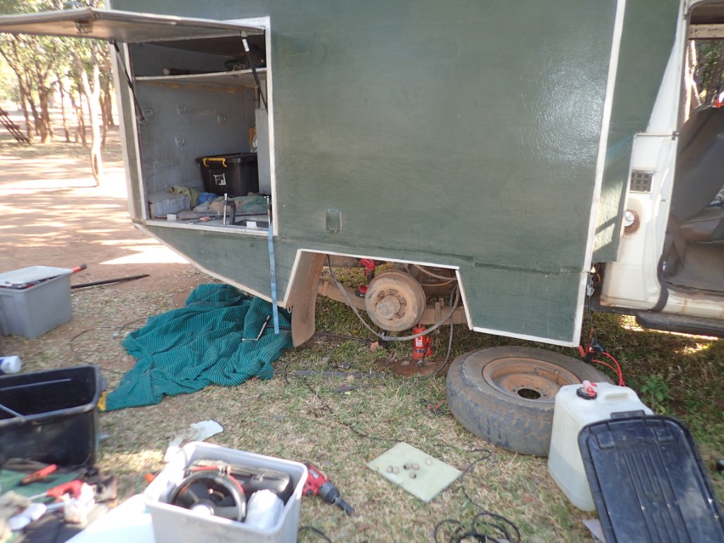
So here I am again. Don’t drive in Africa in the dark, driving in Africa in the dark. The road is terrible for a few kilometres then it becomes road works. The Chinese are building a new road, but of course its all diversions and dirt and bulldust and everything else. So its a slow (40kmh) drive to Kings Highway, and it is a welcome sight when I get there. Its a nice camping area, and I have a nice solar powered hot shower. I then notice power cables hanging down the right hand side rear wheel, and realise my pot-hole collision has caused more damage.
The next morning I find that the fibreglass wheel well, has broken as the wheel hit it, and it ripped four power cables in the process. I decide I am going to have to stay another night to be able to fix everything. I ride into the village and get a sim card, which all goes well.
I spent all day fibreglassing and fixing cables. That’s why I carry 2 litres of epoxy with me. I am 50/50 if I can leave tomorrow. I have to reconnect cables. I have this problem of running out of money, and its at least 50km to the nearest ATM.
Descending into MbeyaGum trees at the side of the road at altitude above MbeyaTraffic in Mbeya
Entering the border postCamped at Kings HighwayTaking the wheel off so I can get to the broken cables
I woke up in Malawi, in a hotel room. Very strange, I had been sleeping in Clancy for almost two months. So firstly I went to leave, but one of the staff said what about breakfast, its free with the room. This was a bonus – cooked breakfast! I should note that I was the only person staying in the hotel. I got Clancy organised, added reflectors, got my paperwork ready for the police stops.
These reflectors have been sitting in a box for 3 years waiting for the country that requires reflectors to be fitted – MalawiClancy in the hotel car park, notice all the other cars
I drove through the first town, thought about stopped at the servo, but didn’t thinking there would be more diesel available everywhere (big mistake). I arrived at a Police stop where I had to turn north, and asked the Police where I could buy a sim card. They pointed me up the road and I parked and found a sim seller who set up my sim and got me all organised with internet access.
My sim seller setting up my phone
Then onwards north with diminishing levels of diesel. I rolled in almost empty at a service station near the intersection of the M1 and M6. However they would only take cash, and so I used almost al of my cash for a mere 10l of diesel. I wondered what to do, when I found a Puma service station that would take a credit card about 150m away, so my fuel problems were solved. I still had one problem though – no cash.
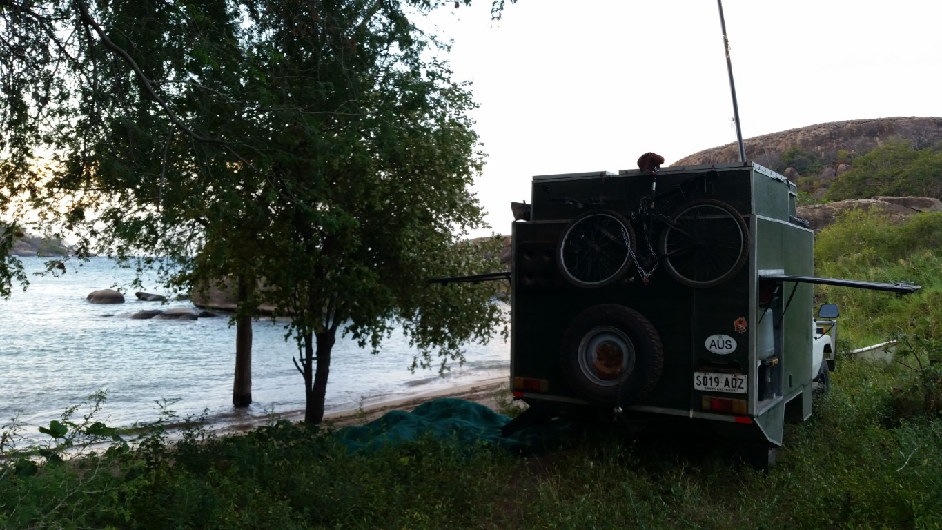
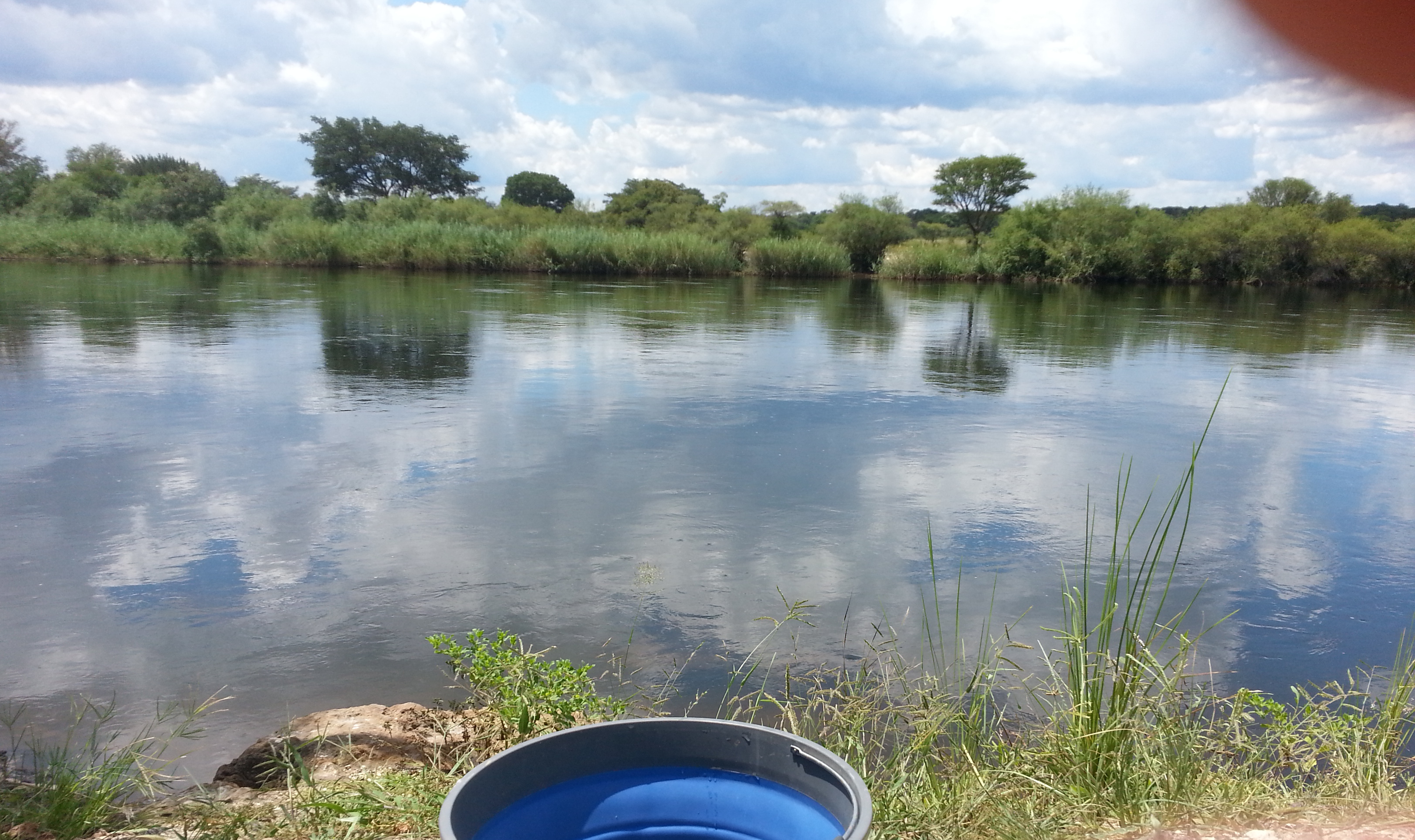
Onwards towards Monkey Bay. The Malawi roads were pretty good, but the road to Monkey Bay had more pot-holes. Not Mozambique level of pot-holes, just some. I wanted to head to Cape Maclear, but I had to stop at the only bank I could find at Monkey Bay. I get to the ATM at Monkey Bay (the only one for 100km), and its out of order. I decide I will have to stay in Monkey Bay and go to the bank when its open tomorrow. I head for Mufasa Eco Lodge, which is right on Lake Malawi. With some pruning with the Aldi reciprocating saw I clear a path so Clancy can sit parked right next to the Lake.
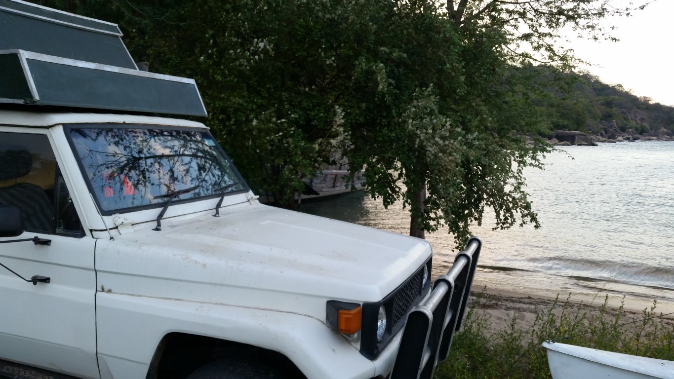
Monkey Bay or bust!Camped on Lake Malawi Monkey BayView out of the door of Clancy Monkey Bay
I have two rules for Africa. 1. Don’t cross borders at the end of the day, cross a border early in the day, many less hassles. 2. Don’t drive at night in Africa.
So today I broke both rules.
I left my wild camp near Rio Nahamacambe and got going about 8am. The N7 the day before was mostly pot-hole free, but it got worse as it progressed. I had one obstacle ahead. iOverlander said there was a checkpoint 50km ahead that checked your road tax. So I got every bit of paperwork out in preparation for that. However when I got there, no-one was there. It was a Saturday morning. About 100m further on was another checkpoint, this time military, but they were not interested in me.
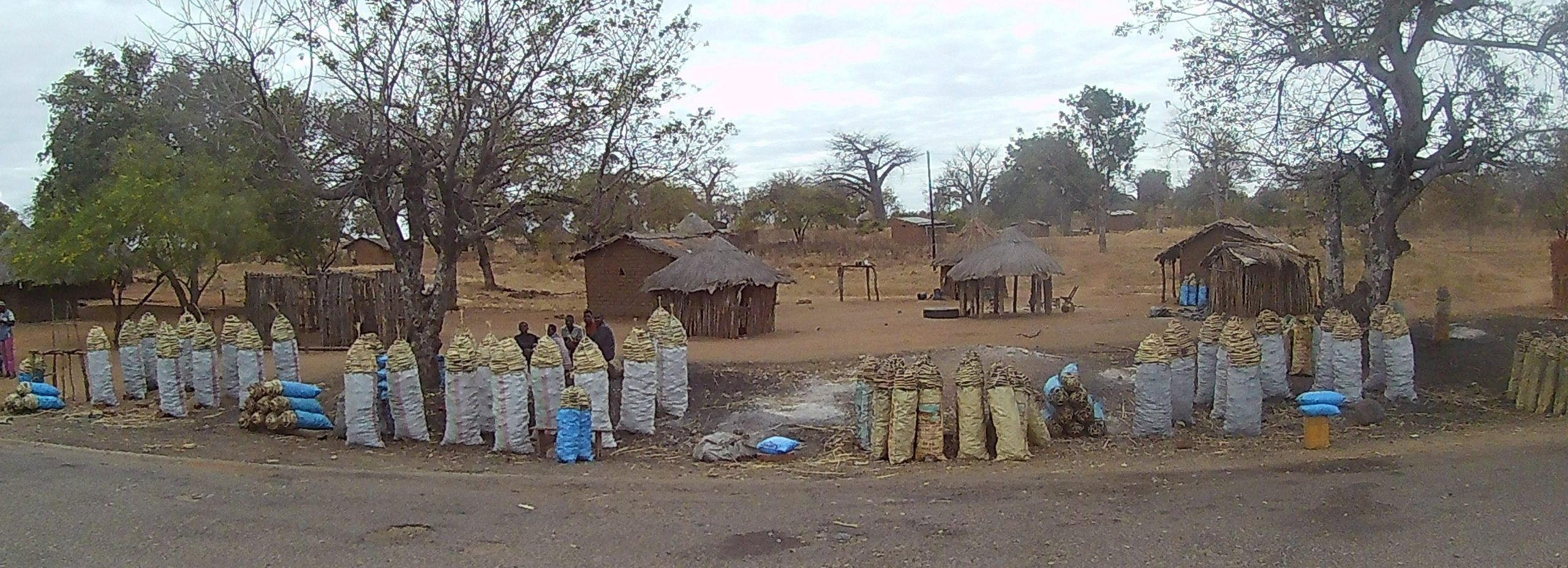
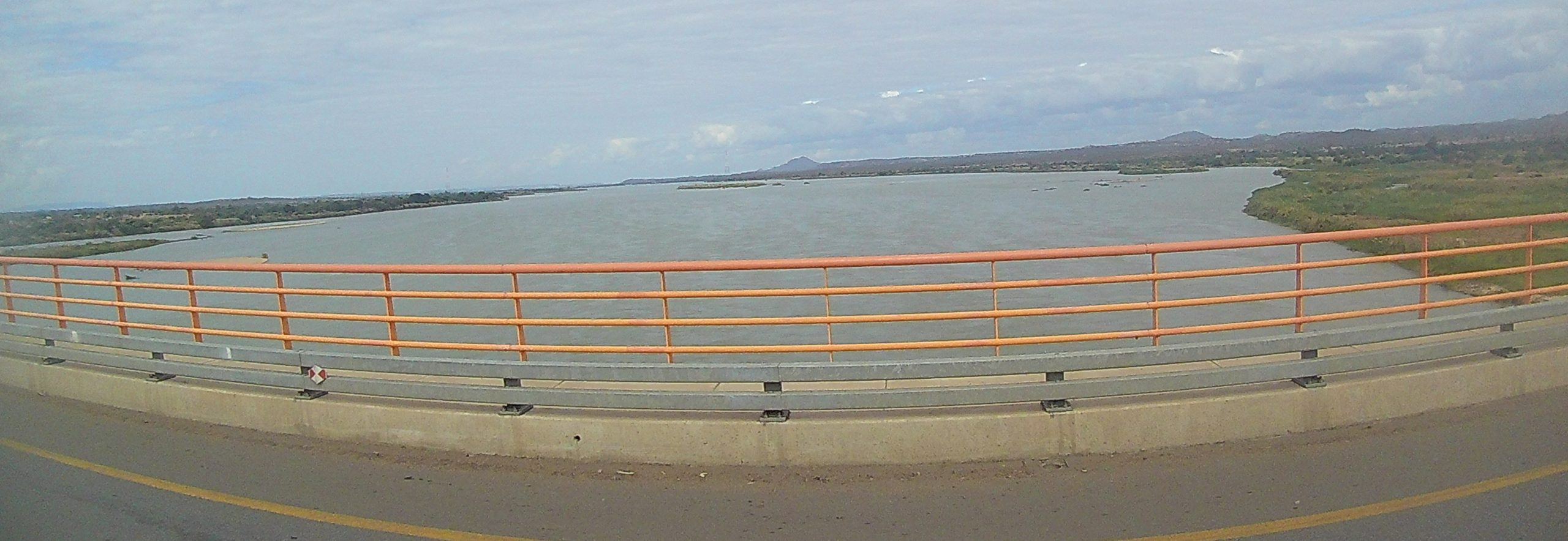
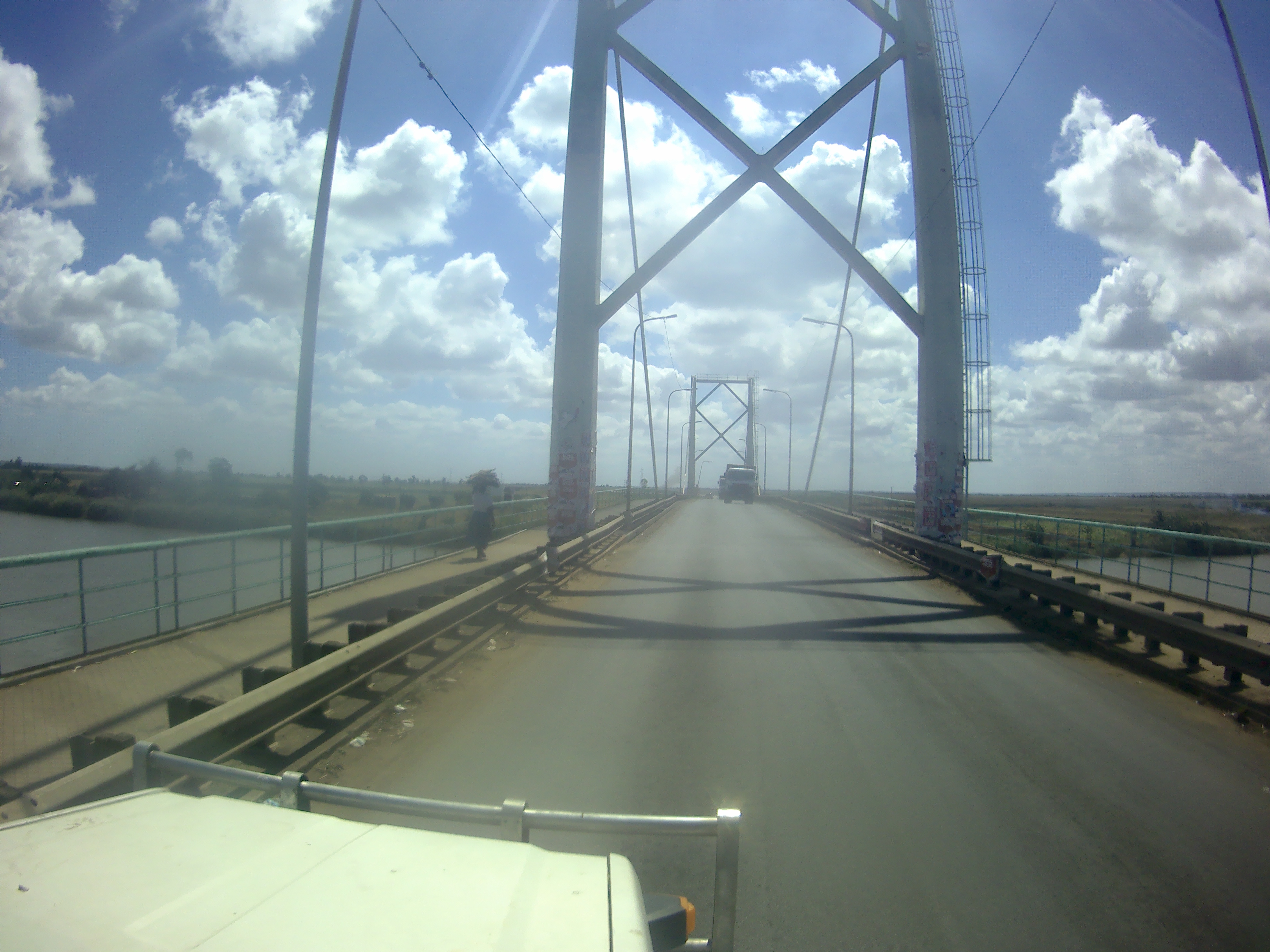
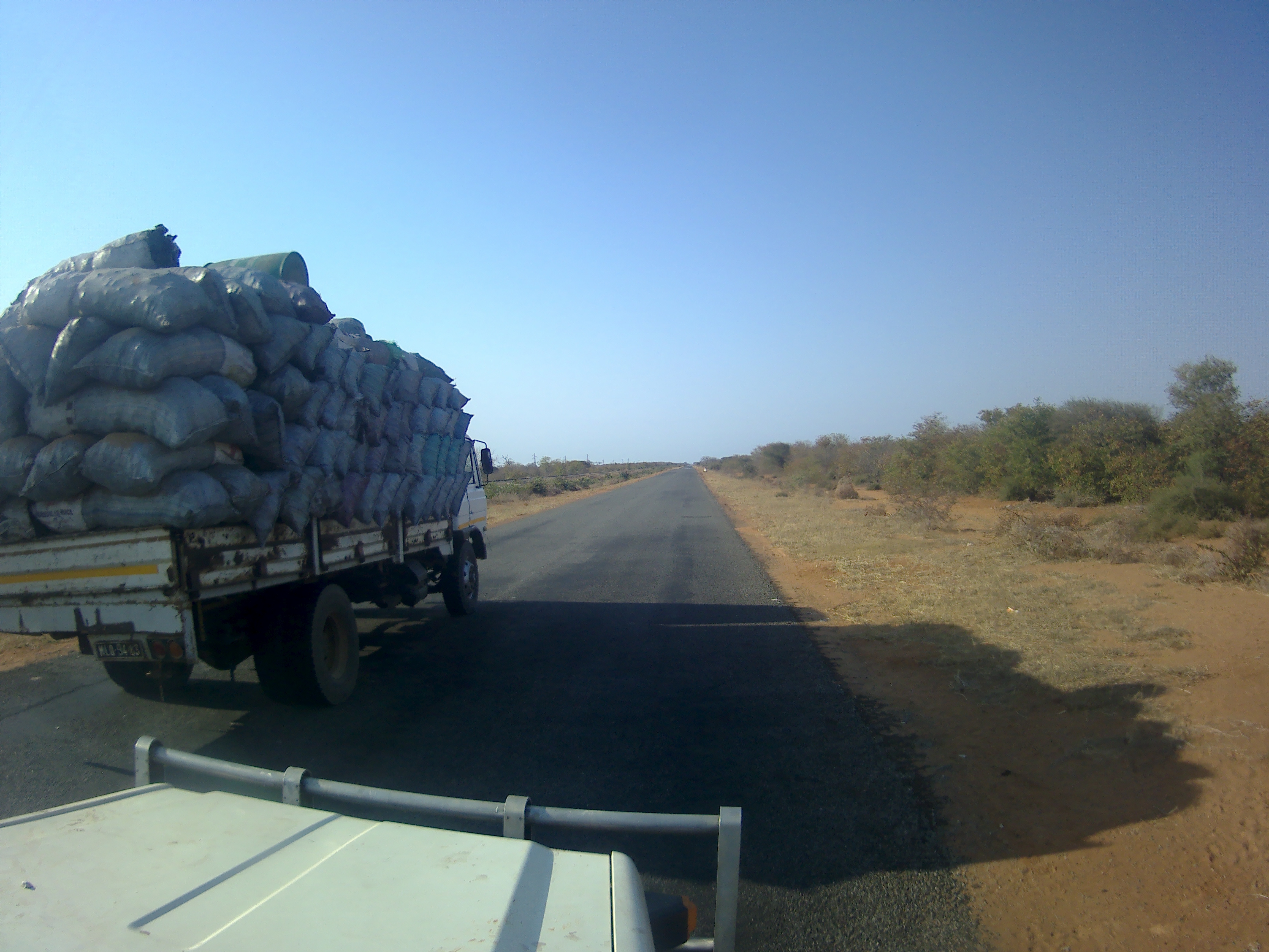
There are Charcoal sellers almost everywhere in MozambiqueCrossing the Zambesi river on the new bridge near Tete
I was going to stop in Tete, at the Shoprite supermarket. I drove past a Shoprite that was closed on the outskirts of Tete, and about 500m on I got stopped at another police checkpoint. This policeman told me I couldn’t go that way because the bridge had been cut across the Zambesi. So I turned around and took the highway out of town which crosses the Zambesi on a new bridge. I thought I would backtrack into Tete from the other side of the river. However that’s when I found the collapsed bridge. The northern part of Tete was not accessible from the N7.
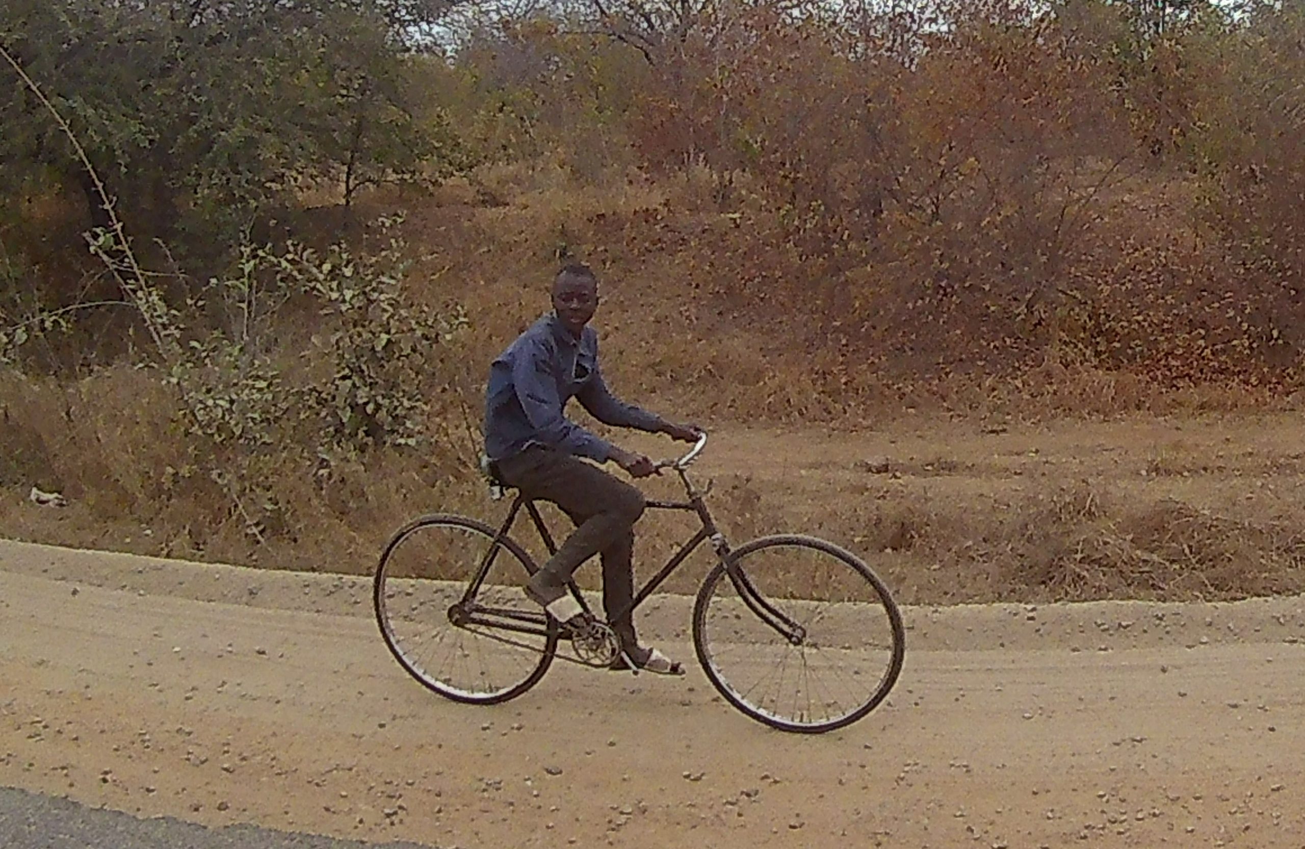
Lots of Bicycle riders in this part of Mozambique
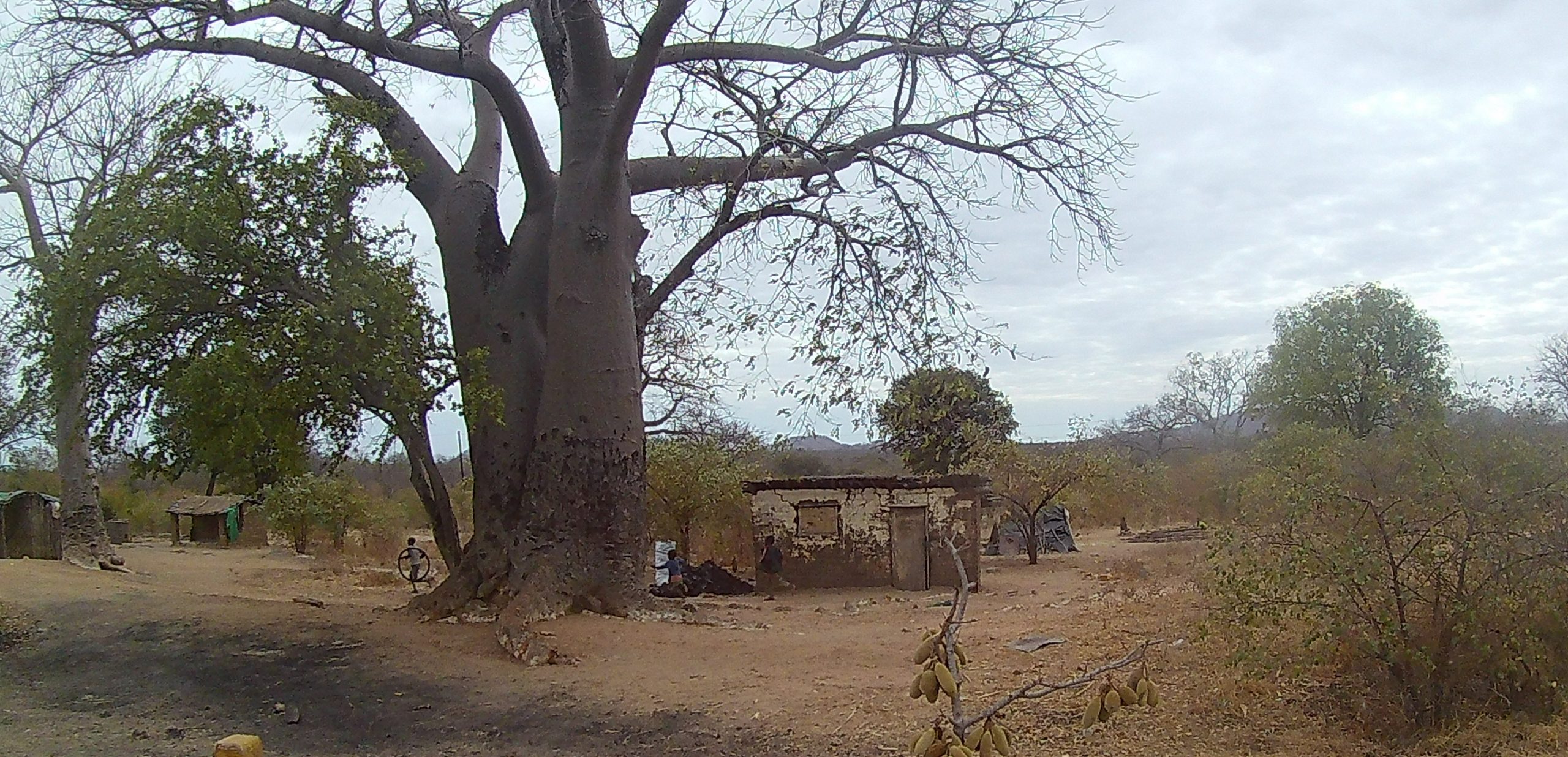
Mozambique village under a Baobab
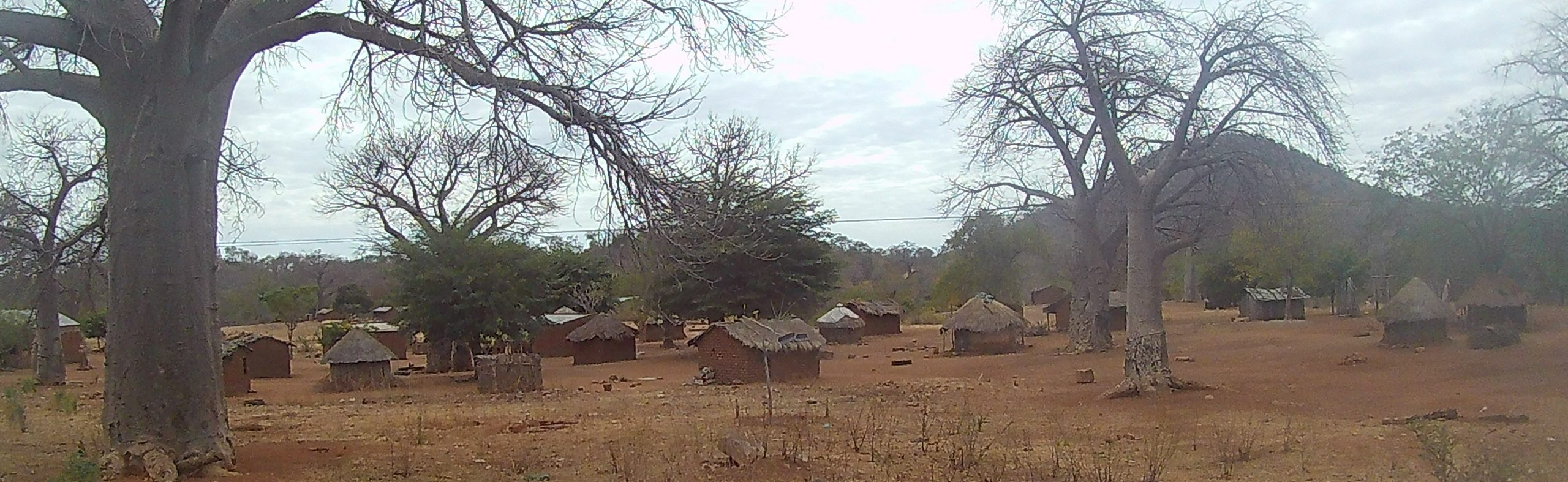
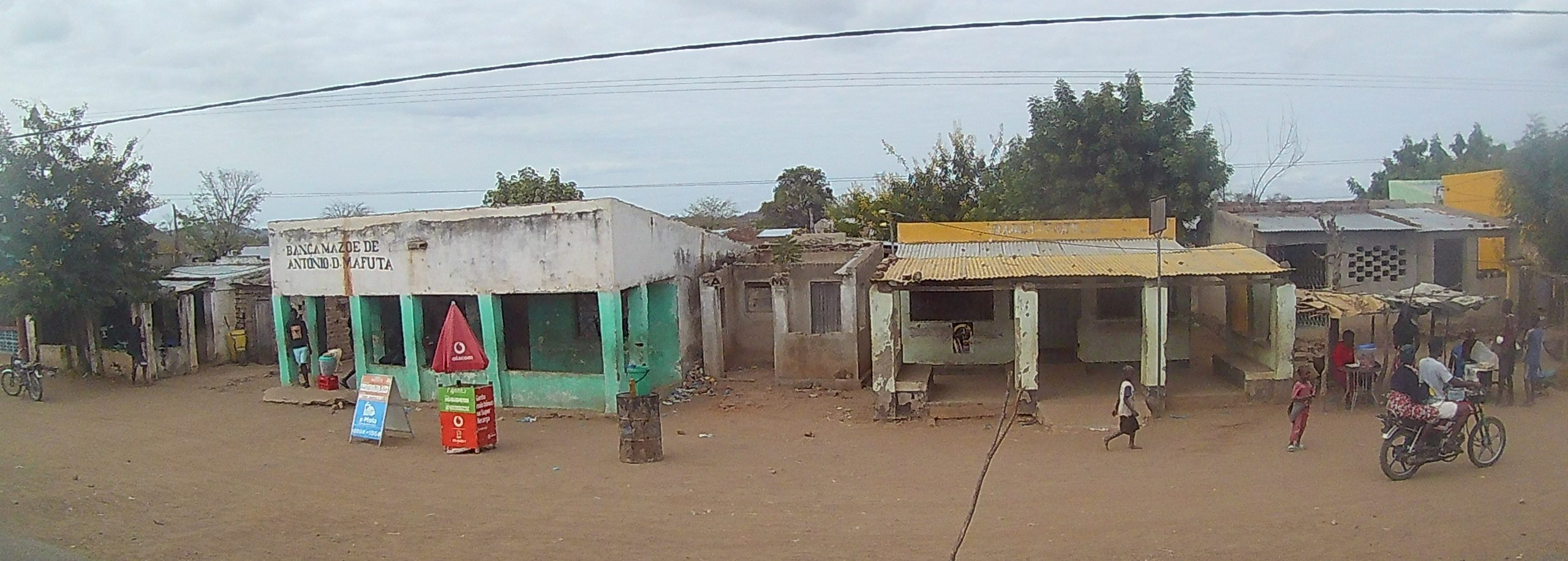
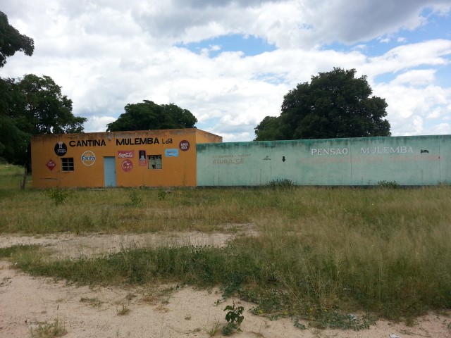
A typical Mozambique VillageSome Mozambique shopsMozambique cartCrashed Bus and trailer near the Malawi border Mozambique
So Shoprite was out of the question. So I continued on about 70km from the Malawi border. At around 4pm I was seriously looking for places to camp. iOverlander showed nothing. It was just too populated, there was village after village. I looked at google maps. It showed a hotel at Zobue the border town on the Mozambique side. Sure I thought I could park in their car park and stay there. Not surprisingly I arrived in Zobue with a main street choked with trucks, and no hotel in sight. So I am at the border post getting overwhelmed with fixers, money changers and people selling reflectors required in Malawi. I had no choice I had to cross the border at dusk. I knew the border post was open until 9m. So I get through the Mozambique side pretty easy, and shake off the fixers. Its a 4km drive through no-mans land until the Malawi side.
I arrive at the Malawi post. Of course, as is true of most African land borders there are dozens of trucks packed everywhere. I park up the end and I am surrounded by maybe 8 people, fixers, sim sellers and money changers. The money changer I wanted so I got rid of all my Mozambique currency for Malawi Kwacha. I didn’t want a sim seller, because I am much better of getting a sim from a seller in a town who can activate the sim and load it up for me. Also I didn’t want a fixer, but they are much harder to shake. It turned out I had to present to a medical tent to show my vaccine passport (that no-one ever scanned, faking one would be easy). I filled in another form, showed my passport. Then I drove to the immigration building (fixers in tow), where despite having an e-visa, I filled in another form. Then with fixers in tow, I went to the area to get a TIP (Temporary Import Permit). I got the permit noted that my name was spelt wrong (doesn’t matter they said) paid for it in USD and most of my Malawi Kwacha, that I had got from the money exchanger. After all this its 7pm at night. I now have to find an insurance broker to give me road insurance. I visit the insurance office – closed. Someone says they will ring them, and a few minutes later a helpful english speaking man gets me to hand over $A50 for 30 days road insurance. This takes half an hour or so. I ask him if he knows of anywhere to stay, and he says he is going home, and I can follow him and he will show me a hotel down the road. So its nearly 8pm dark and in Africa and I am driving down the road, not sure I am following the right car. He leads me to a Hotel, and I am very grateful.
I ask the hotel if I can park in the carpark overnight. Sure they say $A30 to stay in the car park $A40 to sleep in a room. I am convinced and pay for a room. I am asleep fairly soon, after breaking all my African rules, its been a long tiring day.
After 3 nights at Areia Branca Lodge, we started heading south towards Maputo. On our last afternoon, we had a long visit from the Lodge owners’ 7 year old son Eric. He had a lovely time playing with the remote controls for the LED lights in our living area, changing the lights’ colours and making them flash, and arranging all the stuff on our carpet-lined walls. He told us that he’d had malaria and so had his mum, dad and brothers. The next morning he showed me his fish tank which had 2 newly-caught prawns, 4 puffer fish, a sand fish and some other fish.
We spent another night at our favourite Moz ‘resort’, Sunset Beach and yes, I had another crayfish dinner. Then last night we stayed at Esperanca do Mar, a coastal ‘resort’ about 30kms north of Maputo. Our GPS took us down a very sandy track to the back entrance of the place – we missed the sign pointing us down a much better, more direct road but we used it this morning to leave. We were shown to a campsite with a private bathroom, but Clancy couldn’t get past a low-hanging branch, and a longer, alternate route was completely blocked by thorny branches. I told the caretaker that we really just wanted a place to park for the night, cos we’re completely self-sufficient. She agree to let us camp outside a 2-bedroom cabin and use its bathroom for R200 AUD$20, which was a vast improvement on the R520 AUD$52 that she wanted to charge us for the campsite with the private bathroom. That’s a ridiculous price for a campsite! We wouldn’t have paid it, would have gone elsewhere. I’d misinterpreted the pricing, thinking she was quoting in Moz metacais, and there are 4 MZN to the Rand. I should have realised that the pricing in MZN was too cheap, but it just confuses me when prices aren’t quoted in local currency.
We drove through the outskirts of Maputo this morning and headed west to the Moz/SA border at Ressano Garcia/Lebombo. There’s a well-known scam on the Ring Road just out of Maputo – the road isn’t finished yet and there’s a bit of a detour through a few side streets. Local teenage boys try to earn money by ‘showing you the way’, and we had several offers including one on my side who tried to hang on to Clancy for a while. With 2 GPS and a few vehicles in front of us, we didn’t need any help.
The border crossing was fairly smooth, although there was some confusion about the stamp in my entry visa. I think the Immigration officer thought it should have been embossed rather than just stamped, but as we’d come in through a very small border post with no fancy stuff at all, he finally accepted that the stamp was legit and I hadn’t just done it myself. Ha! As if!
Just outside Immigration and Customs on the Moz side, a table was set up with 2 workers offering free malaria testing. We’ll do that, thanks very much. Drop of blood on a slide, mixed with 3 drops of solution, wait a few minutes, read the results. Both negative, thankfully, but we do have antimalarial treatment medication if we need it.
The South African side was fine until we tried to get a TIP Temporary Import Permit for Clancy. We’d read that it can be a bit like extracting teeth, getting one at Lebombo, so we were prepared for a degree of difficulty.
Up until now we have used a Carnet, sort of like a passport for the car, but it expires in November and we have to return it to the AAA Australian Automobile Association. We want to leave Clancy in SA until early next year, so need to switch to using TIPs instead, which allows us to bring Clancy into South Africa for up to 6 months at a time. The first Customs officer wasn’t sure about any of it, so she called her colleague, who informed us that we must use the Carnet, and then go to Pretoria to get it sorted out. Um, no, we’re not doing that. First woman called her supervisor, who was incredibly helpful and understood exactly what we wanted after it was (again) explained. He also took the time to explain it all to the first Customs officer, so hopefully she is now better informed about the process. From then, it was easy, we got our TIP and were on our way.
And hey, we got through a whole country with no flat tyres. Hurrah!
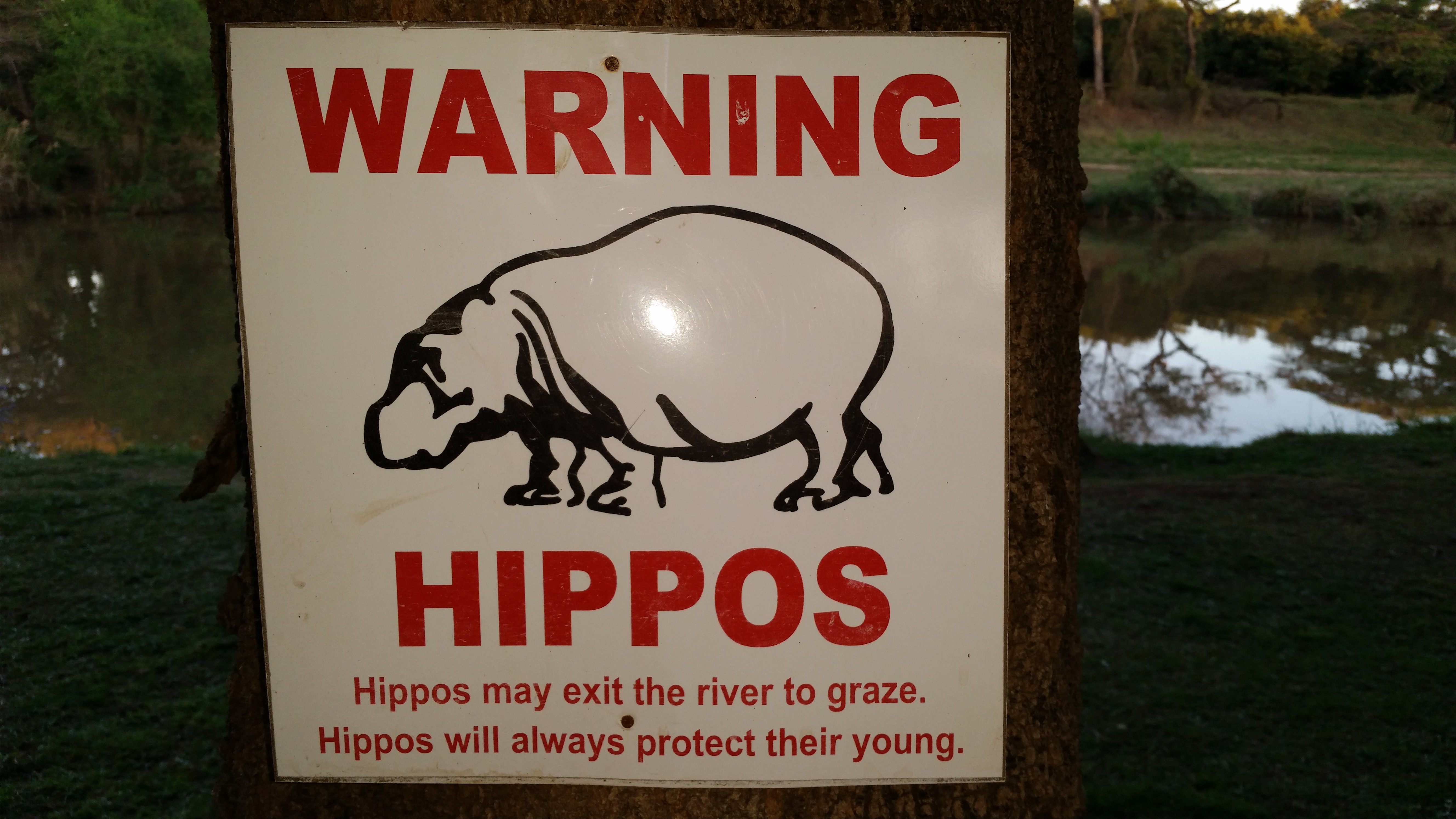
We called into a shopping centre in Nelspruit and went grocery shopping at Checkers. Wow, there was so much choice and so many things and stuff we hadn’t seen in a while. We’re staying just out of Nelspruit tonight at the Hippo Waterfront Lodge. We’ve heard hippos but haven’t seen any.
So, a few thoughts about our time in Moz. When we first arrived, I asked Greg what he wanted to do while we were there. He wanted to spend time at the beach. I wanted to eat seafood and spend time at the beach. I’d say we achieved what we set out to do. Even though Moz is a much poorer country than Angola, we saw far fewer beggars. Having noted that though, both countries have a large percentage of their populations living at subsistence level.
As we were driving south from Pafuri, I really couldn’t work out what the locals ate apart from beef and goat – they weren’t growing any crops. When we got to the coast, we saw a lot of agriculture, mostly small plots being grown for the household’s consumption. Lots of cassava, which we also saw in parts of Angola. Here’s an interesting article about how to prepare it safely to avoid cyanide poisoning. I saw it for sale at the market I visited in Inhambane with Johnny, but didn’t buy any.
There’s a general election next month and the ruling party, Frelimo, has plastered the country with posters, flags and banners. I predict that after the election, the majority of those flags and banners will become shawls, skirts, sarongs and home furnishings. We’ve already seen one woman wearing one as a skirt and another using one as a shawl. You read it here first, folks.
One of my abiding memories of Moz will be the red and white colours of a lot of the shops in towns and villages. 3 brands have used bars, food shops, restaurants, cafes and mobile phone shops to advertise their products. Vodacom, Mac Mahon beer and Coca Cola have all plastered their advertising over buildings everywhere. We drank 2M ‘dos m’ beers a few times and enjoyed them.
Just one of the many groups of sellers that line the main road in many townsCrossing the Limpopo RiverToll both before the Limpopo bridge at Xai-Xai
Cashew sellers with many bags of cashews for saleCashew sellers with many bags of cashews for saleBus stopped before the toll at the Limpopo River bridge surrounded by sellers
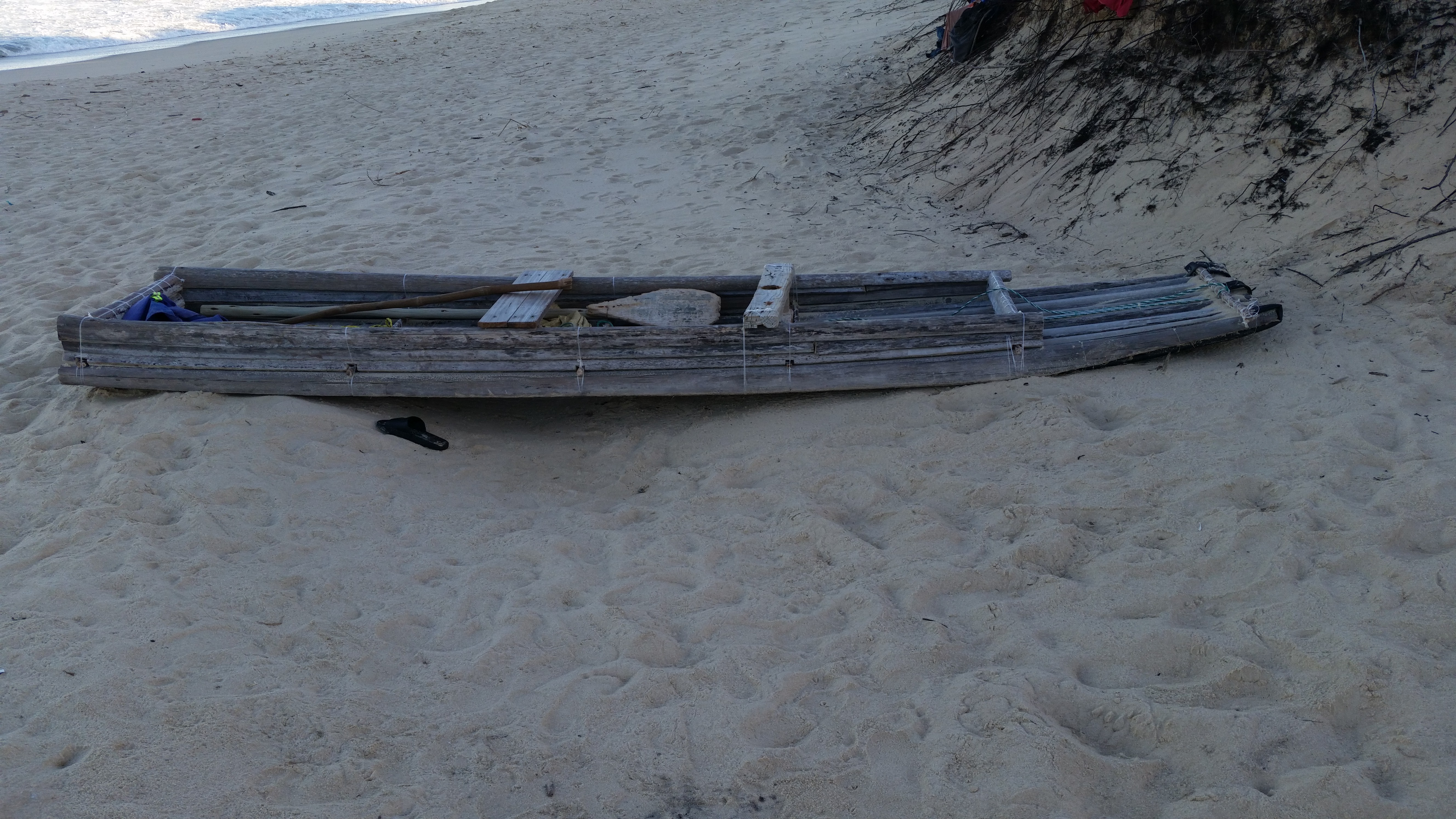
the beach at Sunset at Sunset Beach LodgeA very hand made fence of branches from African thorn bushes. This fence was about 100m long in totalLocals use these boats to fish out from the coast of MozambiqueCamped at Esperanca do Marthe beach near Esperanca do Mar MozambiqueTwo kids running towards us as soon as they saw us, to hound us into taking their “directions” to get off the half-built ring road around Maputo (for money, we had been warned before). We had two GPS’s with the route, we did not need help.The still under construction Maputo Ring road (its been about 6 years)
After our long, involved border crossing into Angola earlier this year, we weren’t sure what to expect when we got to the SA/Moz border at Pafuri. Greg organised our vehicle insurance online, thankfully, as it would not have been possible to do on the spot. We deliberately chose places to stay close to the border on each side, in case it took us a long time, but it all went very smoothly.
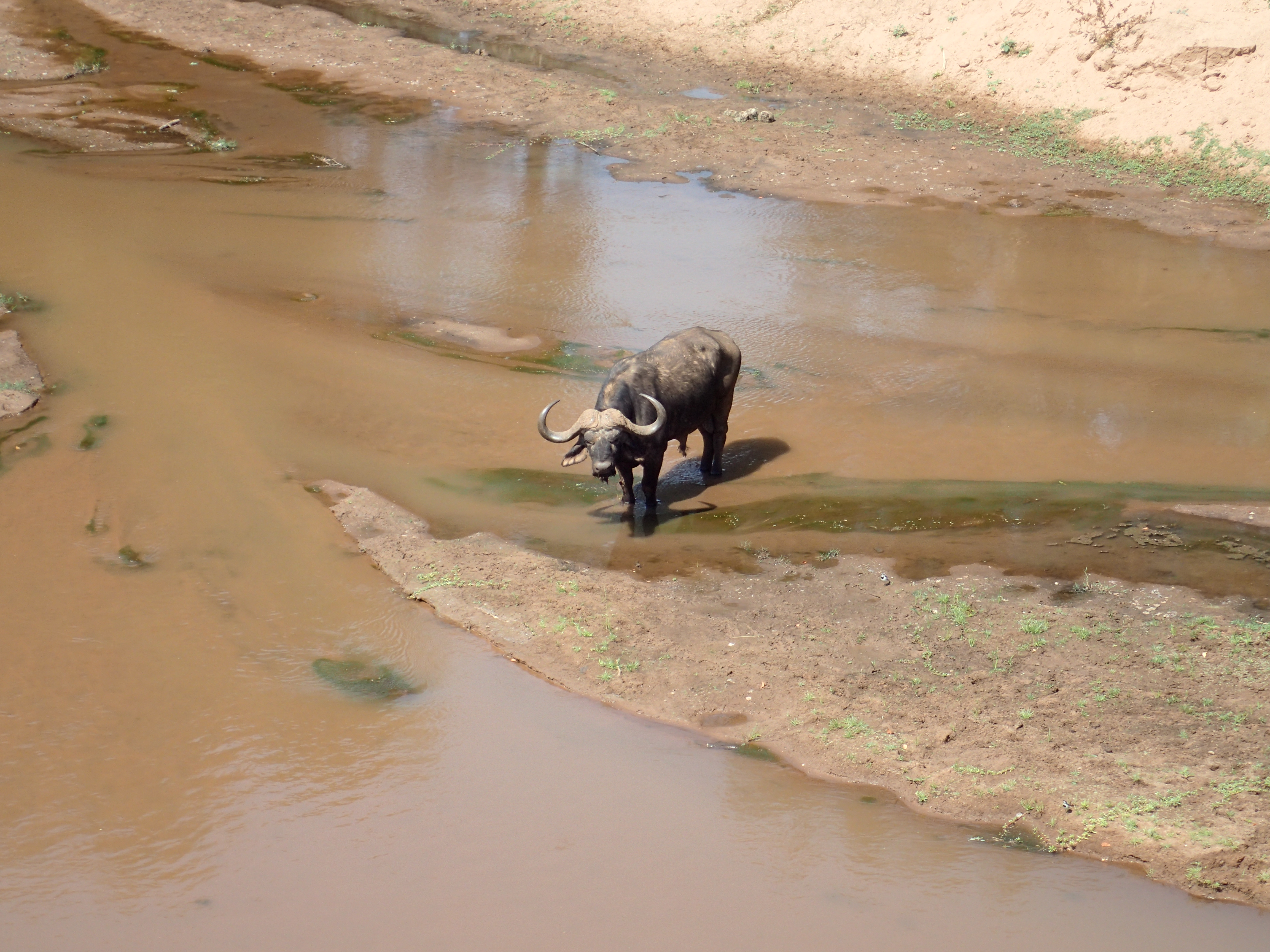
To get to the Pafuri border, one has to drive through the very northern part of Kruger National Park, so we had to pay the entry fee of R774 AUD$77. We were in the park for about an hour, but we did get to see part of the park we hadn’t seen before and some wildlife – a couple of elephants, a couple of water buffalo, a couple of blue wildebeest, some warthogs and some monkeys.
We’d been assured that we didn’t need a ‘fixer’ to ‘help’ us get through Immigration and Customs on the Moz side, and in fact there was no one around apart from officials and only a few people entering and leaving Moz. A very quiet border post. We knew we had to pay for a visa and had brought enough USD with us. At first the Immigration official would only accept Rand, but we didn’t have enough. So he said he’d accept Rand for one visa and USD for the other. Still not enough, so he finally agreed to accept USD for both visas, but only notes that had been printed after 2009 …. <eyeroll> He ended up making USD 10 out of us because we couldn’t come up with a hundred bucks in post-2009 notes. Whatever. We’d thought the visas cost USD $80 each, so we felt like we were ahead.
Then on to getting the Temporary Import Permit TIP for the car, which was a very straightforward (and free!) process. I like asking people where their family home is, and they like to tell us, and I think that helps us make a connection and ease us through the bureaucratic stuff. And then to Customs, whose ‘office’ was a desk and 2 chairs under a large shelter. They wrote us up in their big book, checked our paperwork and had a look at Clancy. They were mainly interested in whether we had brought any alcohol with us, not because we weren’t allowed to, but to see what they could get out of us. We’d hidden our booze because last time we entered Kruger we weren’t allowed to bring any in with us. This time no one checked. When we were in Louis Trichardt, Greg had bought the supermarket’s entire stock of 2L Pepsi Max bottles and before we crossed the border, I said to him ‘I bet we end up bringing n – 1 bottles into Moz with us. And that’s exactly what happened. The customs guy asked us what we had brought for them, Greg offered them a bottle of Pepsi Max (locally known as a refresco, small bribe. In Angola it was a gasosa) and we were good to go.
We planned to stay at the Dumela campground about 7kms from the border. They had posters up at the Kruger entrance office and at the Moz immigration office, but finding the actual campground was not easy. Partly due to poor signage, but also because iOverlander has the wrong coordinates entered in its information section. Or rather, it has the location of the reception/office rather than the actual campground. The office is at the top of a very steep, windy, 4WD only dirt track that makes Greg’s driveway at Willunga look like a straight, level piece of road (hint: it’s neither of those things!). So we got to the reception and the receptionist told us we were in the wrong place and that the campsite was down the hill. She didn’t mention anything about paying camping fees and at that stage we just thought we were in the wrong place. We flailed about in the bush for a while, trying to find the campsite and ended up back on the main track (definitely not a ‘road’) and finally found a sign to the campground with instructions to go and pay at Reception first. Um, nope, not going back up that track again, we’ll pay at the campsite. It was okay and we were the only ones there.
Next day, Wednesday, we were up, packed and on the road before 7am. Incredible. Our final destination was Praia Xai Xai, almost 500kms away. We knew it would take us a couple of days, but didn’t know much about the condition of the road, and as the first part was nothing more than a single dirt track, we wanted as much daylight as possible to drive in as we were only averaging around 25 – 30kms/hr. The road did improve when we got to Mapai, and for a while it was a really good sealed road, but parts of it were terrible – just a very thin layer of tar painted over sand. Other parts were very potholed and some bits were rutted sand/dirt. We found a quarry about 300kms south and camped there on Wednesday night.
Just vefore we decided to finish for the day, we drove through our first police checkpoint in Moz. A policeman checked Greg’s drivers licence and Clancy’s paperwork while a soldier checked our passports. I had to get the passports out of the places we hide them in our living area and while I was doing that, the soldier came around and said ‘Oh, this is your little house!’ Maybe he thought it was a delivery truck or something. Apparently all our paperwork was in order as we were waved off. We’ve driven through a few more checkpoints but haven’t been stopped at any more yet. In contrast, by the time we’d been in Angola for a few days, we’d been stopped at quite a few already.
Now we’re at the beach just south-east of Xai Xai, spending a couple of days at the Montego Resort. We’d really like to spend up to a week somewhere, but the beach here isn’t all that good for swimming, so we’ll head further up the coast tomorrow to see what we can find. Weather’s great, it’s off-season so we shouldn’t have any problems finding somewhere to stay.
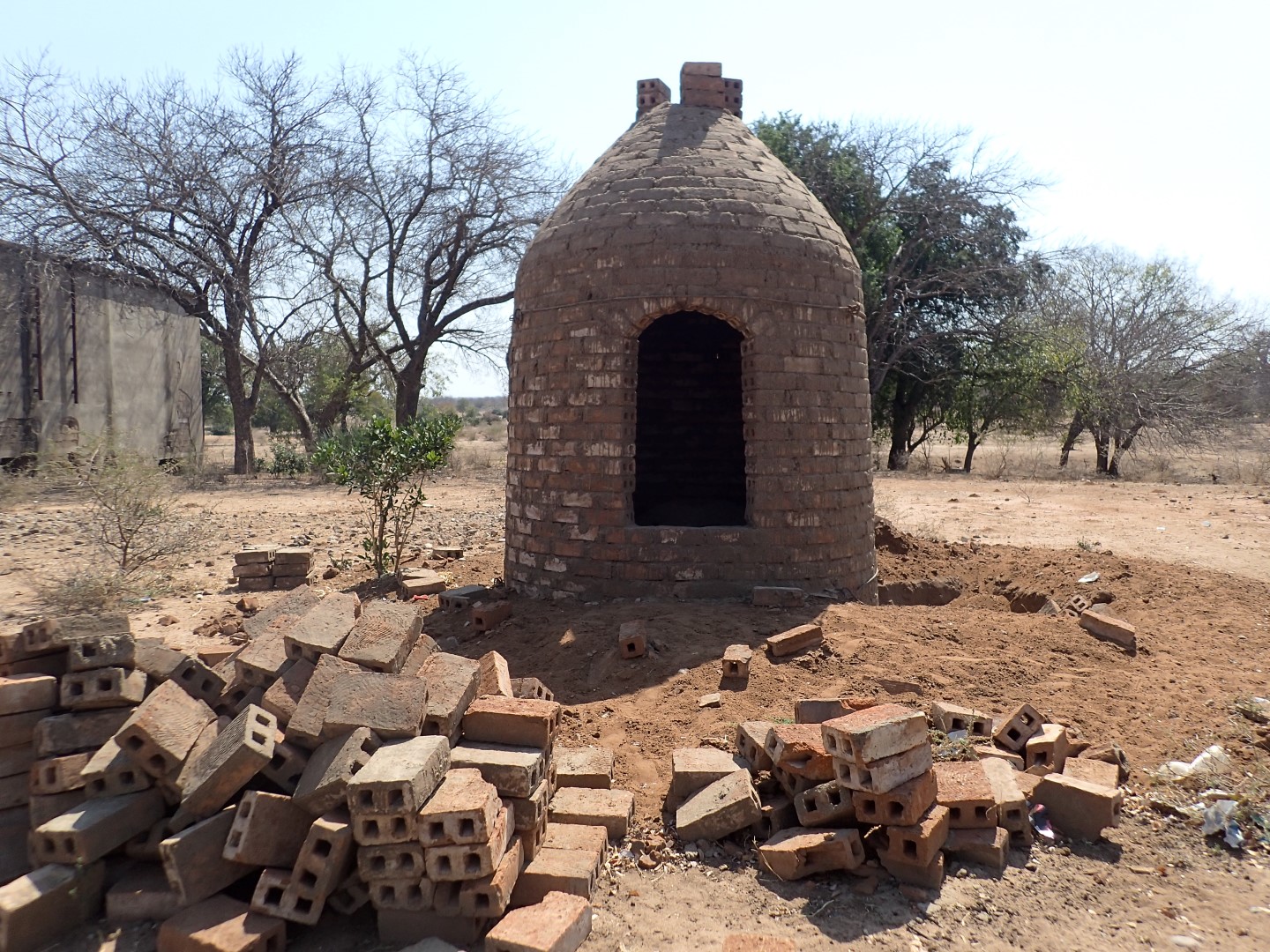
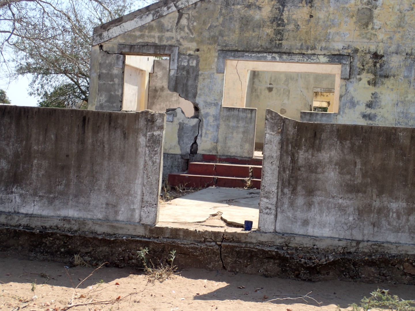
Fever trees next to the Limpopo river, just inside the border past Pafuri gateAbandoned brick kiln near the Limpopo Rivermore abandoned buildings. The Limpopo River flooded in 2000, and got to be 5km wide, so this town near the Limpopo is mostly abandoned
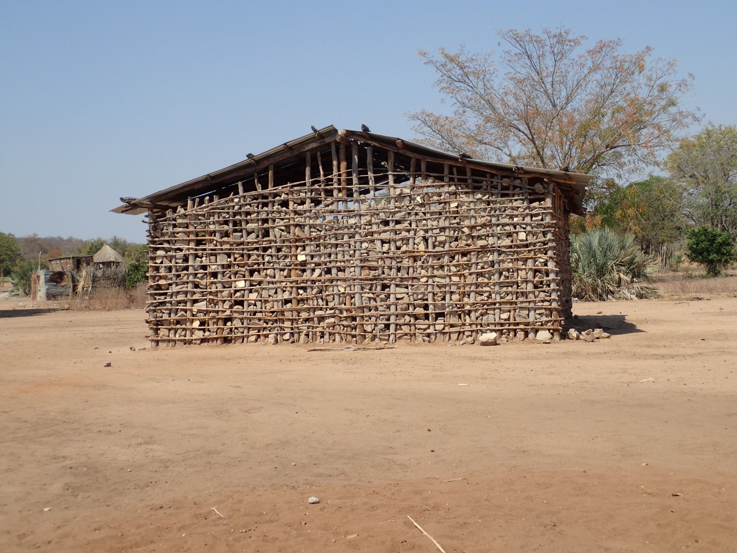
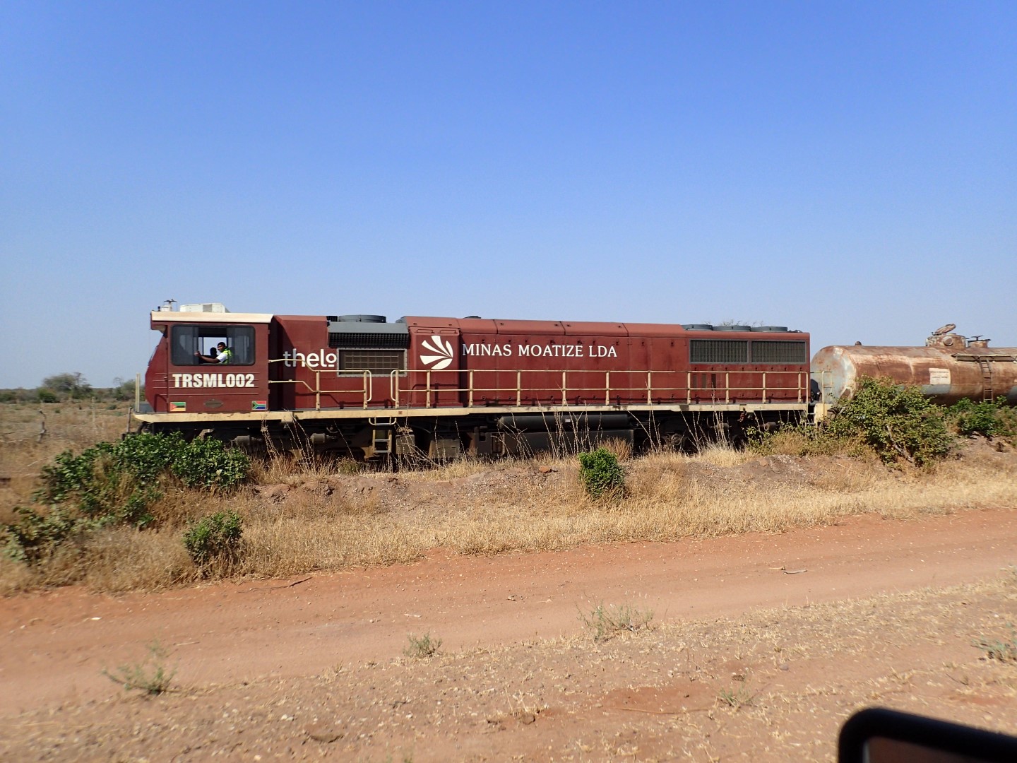
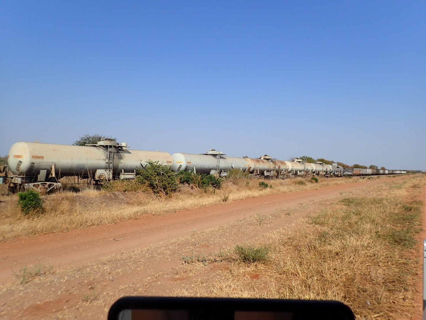
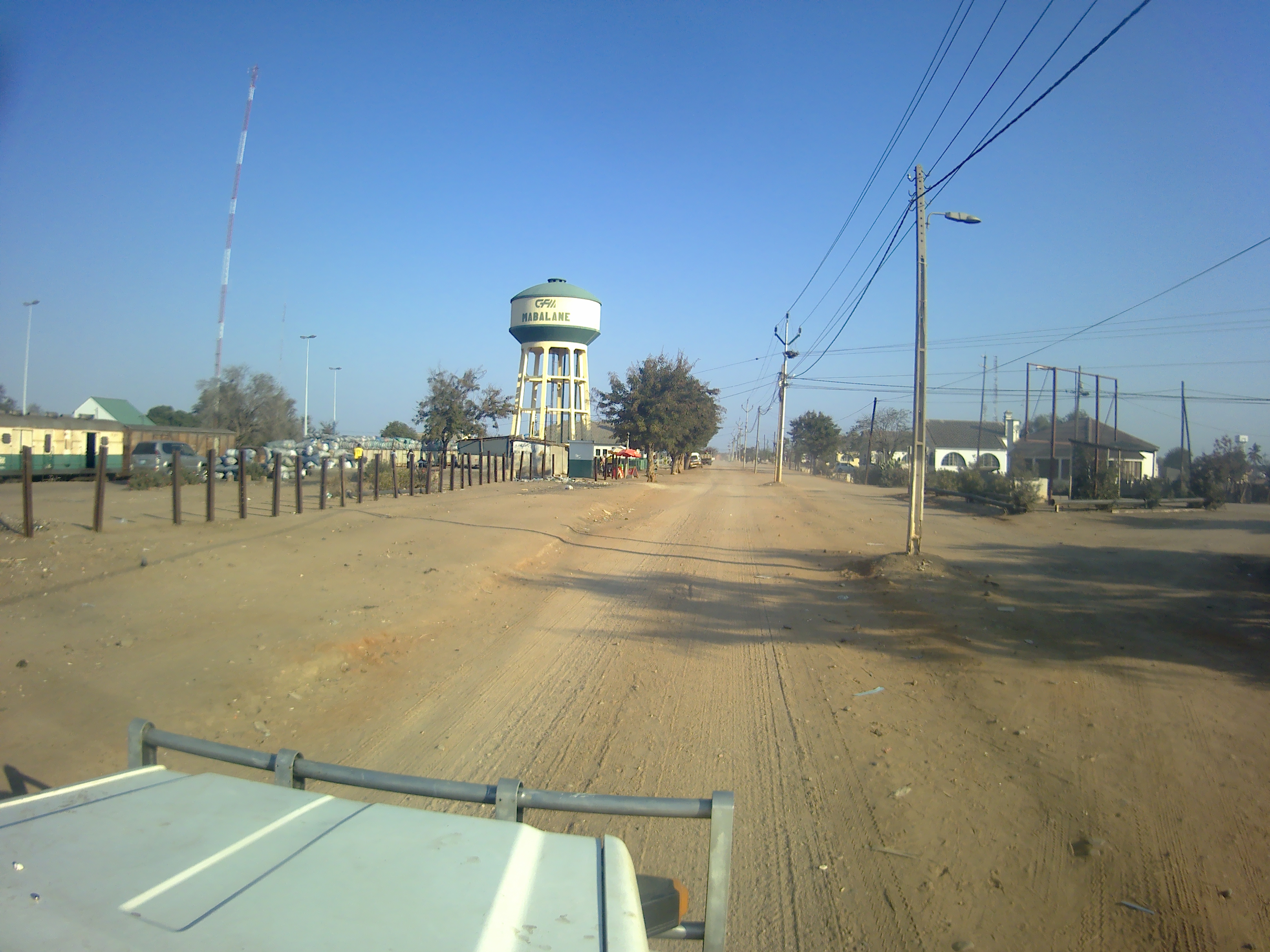
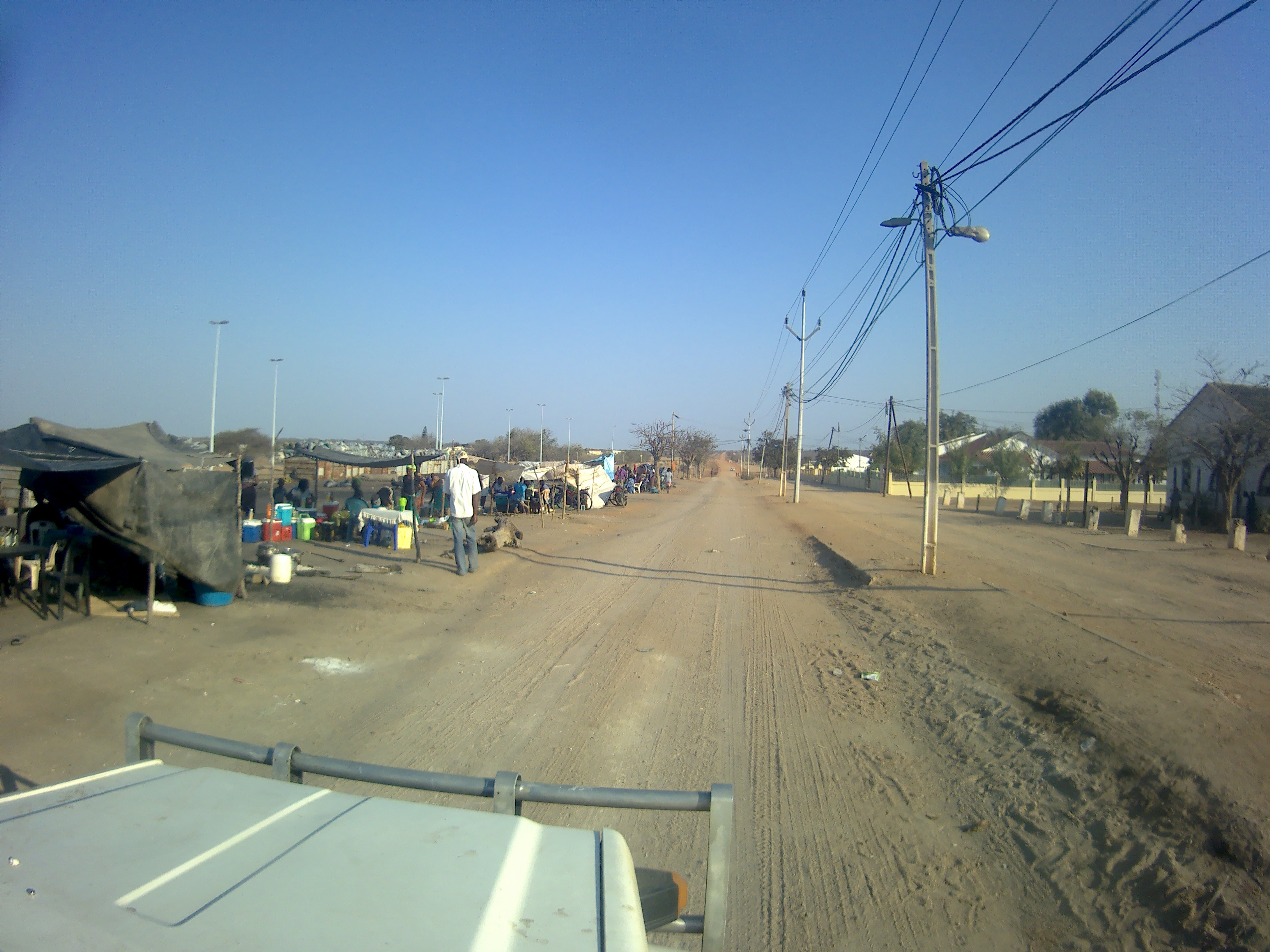
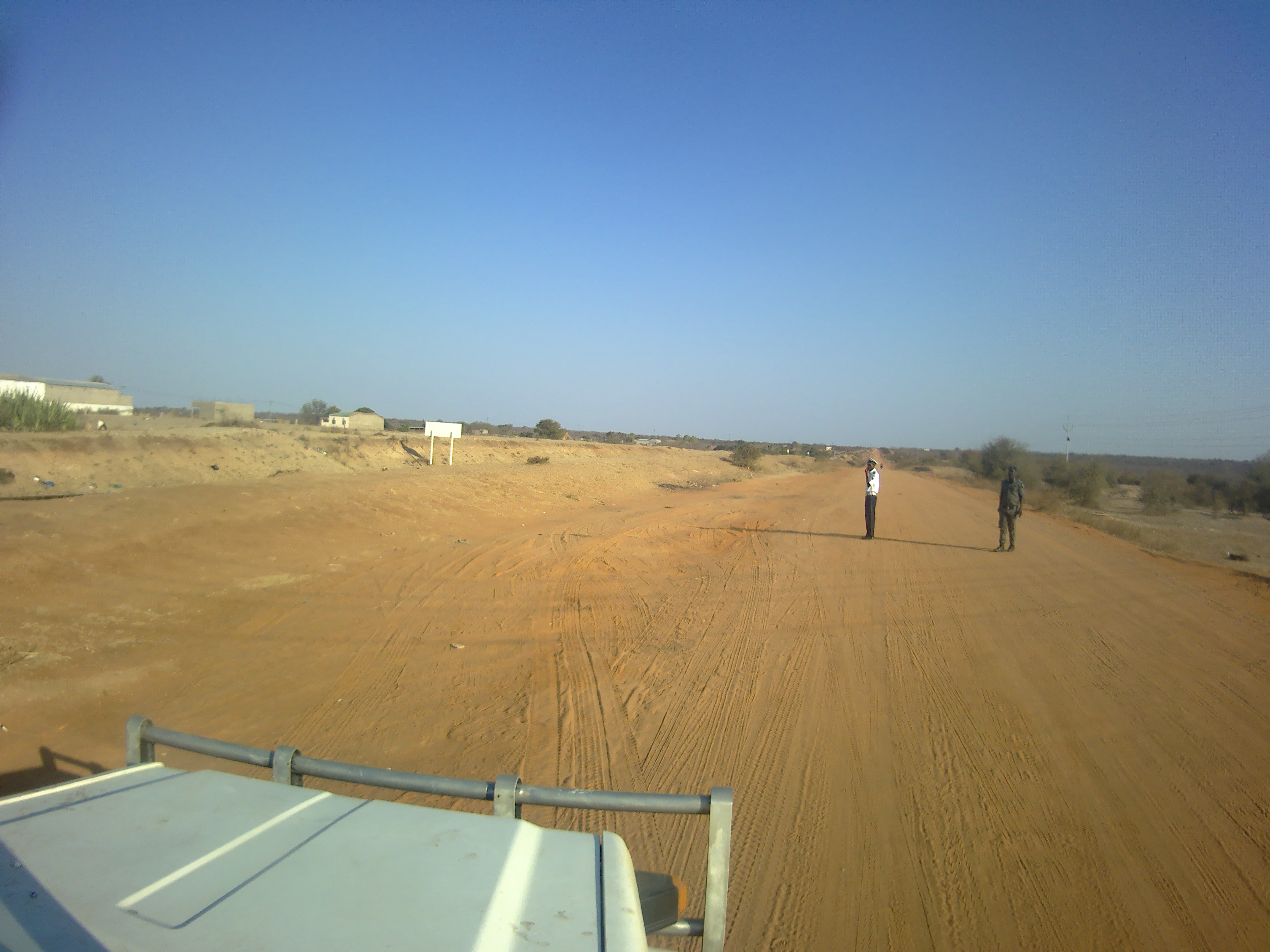
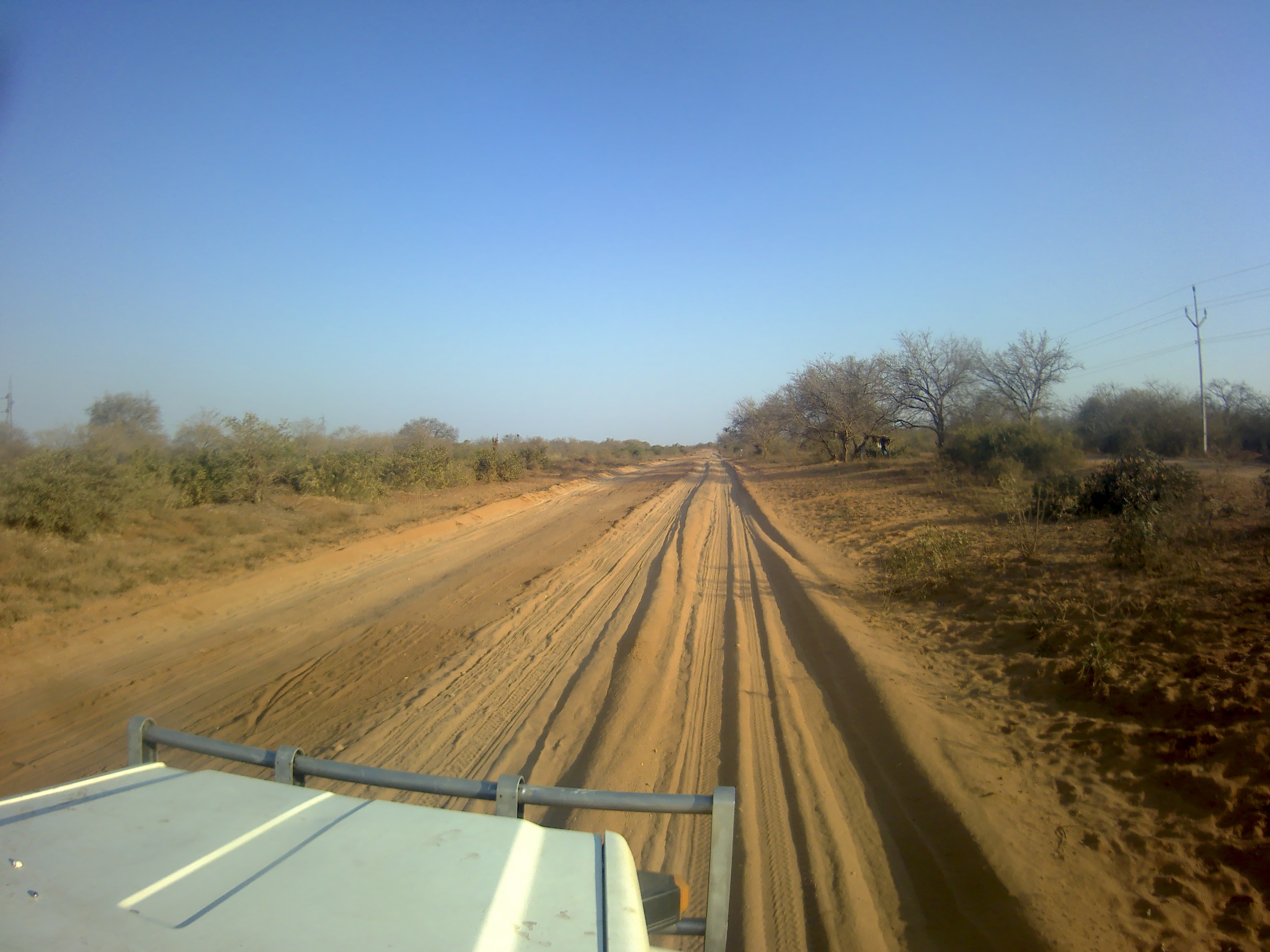
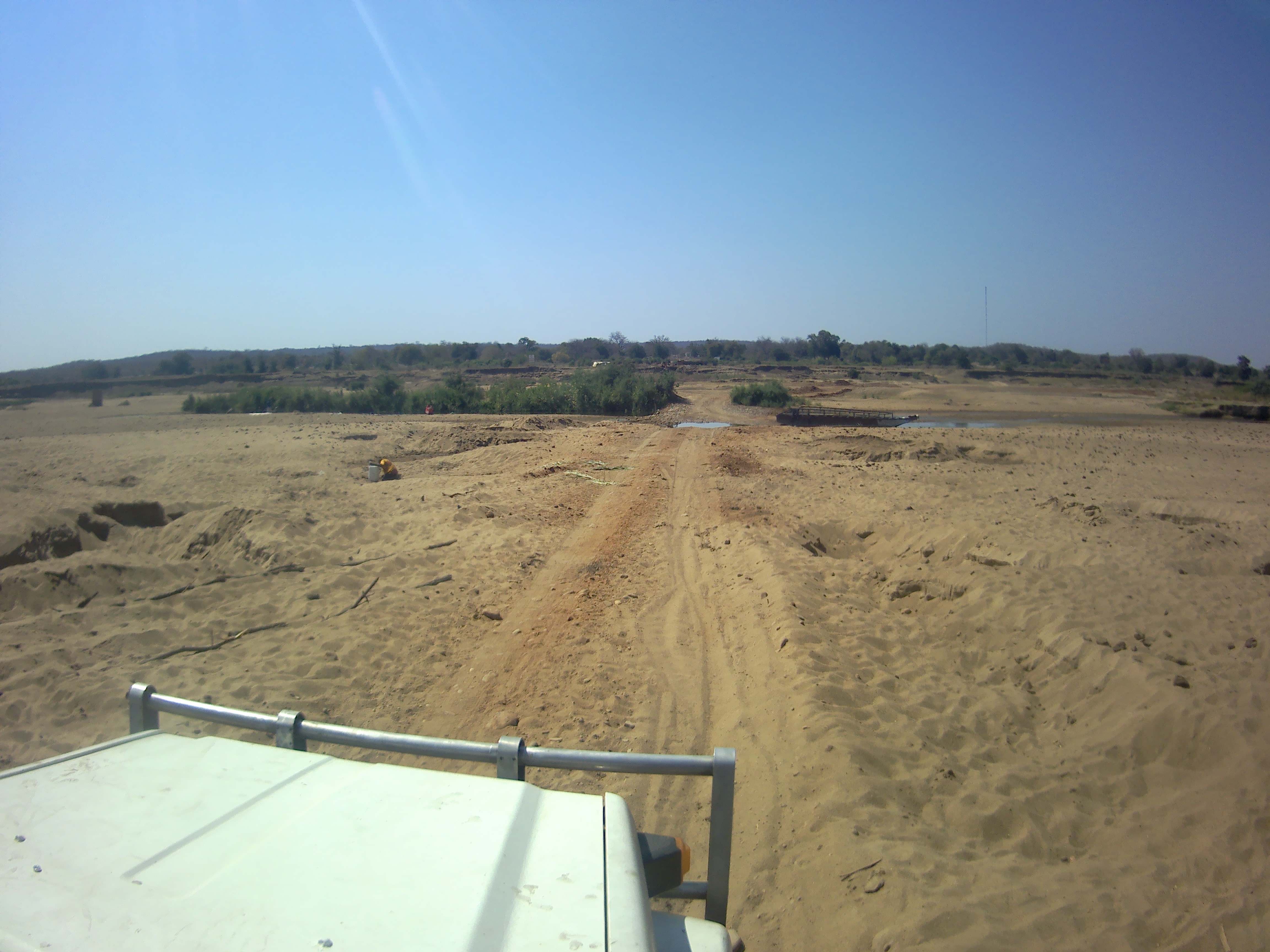
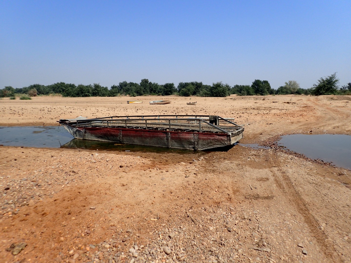
A method of building construction we had never seen before. This one is deteriorated but essentially its a frame of timber but in-filled with rocks.This is a better example of a timber framed rock in-filled buildingOvertaking one of many trucks transporting charcoalA train we passed we guessed pulling fuel wagons headed to Zimbabwetrain headed to ZimbabweDriving through Mabalane, about half way on our Journey from Pafuri crossing to Xai-XaiThe main street of MabalaneA cop stop outside MabalaneThe “main road” N221 from Mapai to Chokwe. It could be could tar or rutted sandCamped for the night in a sand quarry south of MabalaneCrossing the Limpopo River at a weir at ChinhacanineAn avenue of Eucalyptus trees we drove throughMarket townWe continually dodged wandering cattleThe toll gate before the toll bridge. We paid R100 to cross the bridge over the Limpopo River, except there was no bridge, it had been washed away years ago.crossing the dry Limpopo RiverCrossing the Limpopo River, this is the ferry on the dried out river. I don’t think we would fit on it.A small market running in a little village south of Pafuri gateOnce we got further south it was potholes after potholesIf you don’t have a jack, get a pole and a few guys….Kids pushing hand made toy carsWe finally reach the ocean after 2 days of heading southCamped at Montego Resort
We’ve been offline for a short while as we crossed back from Botswana to Sth Africa last Saturday, then made our way across the north-east of SA to Kruger National Park and crossed into Mozambique via Pafuri Gate on Tuesday.
On our last night in Botswana, we wild-camped north of Serowe on a disused road we found when we were there in March. We used the Martin’s Drift/Groblersbrug border crossing from Bots to SA for the 4th time. Martin’s Drift on the Botswana side was, as usual, quick, easy and predictable. Groblersbrug was the usual confusion of not knowing where to go because the Immigration section had been moved again, although being Saturday afternoon, it wasn’t as busy as we’ve seen it. There was a huge line of trucks waiting to cross into Bots, though – at least 3kms long.
We stayed at the Big Fig Inn near Tom Burke, just a few kms from the border. Lovely campground with grassy sites. The first grass we’ve seen in quite a while. On Sunday we headed east towards Louis Trichardt. We’d driven along a really terrible stretch of road from Tom Burke to Alldays on our first trip here, so we wanted to avoid that this time. Google Maps offered an alternative, but neglected to mention that parts of it were dirt! Blrgh. Anyway, we reached our second campsite, Zvakanaka, just north of Louis Trichard and it was a lovely set-up too. We had a site with our own shelter, power, water, braai. Ablutions including a front-loading washing machine were nearby. Great views over the Soutpansberg mountain range.
On Monday we did some stuff in Louis Trichard – groceries, tyre & inner tubes, hardware, more groceries, then continued east to our third campsite, Nthakeni, at Nkotswi. On the way, we stopped and fuelled up at Masisi, the last fuel source for us in Sth Africa, and in the part of Moz we were heading to, fuel supplies are unreliable. On our first trip to Sth Africa, we were heading to Pafuri Gate and were stopped by a roadblock at Masisi – the bridge over the river had been washed away, so we had to head south to another gate.
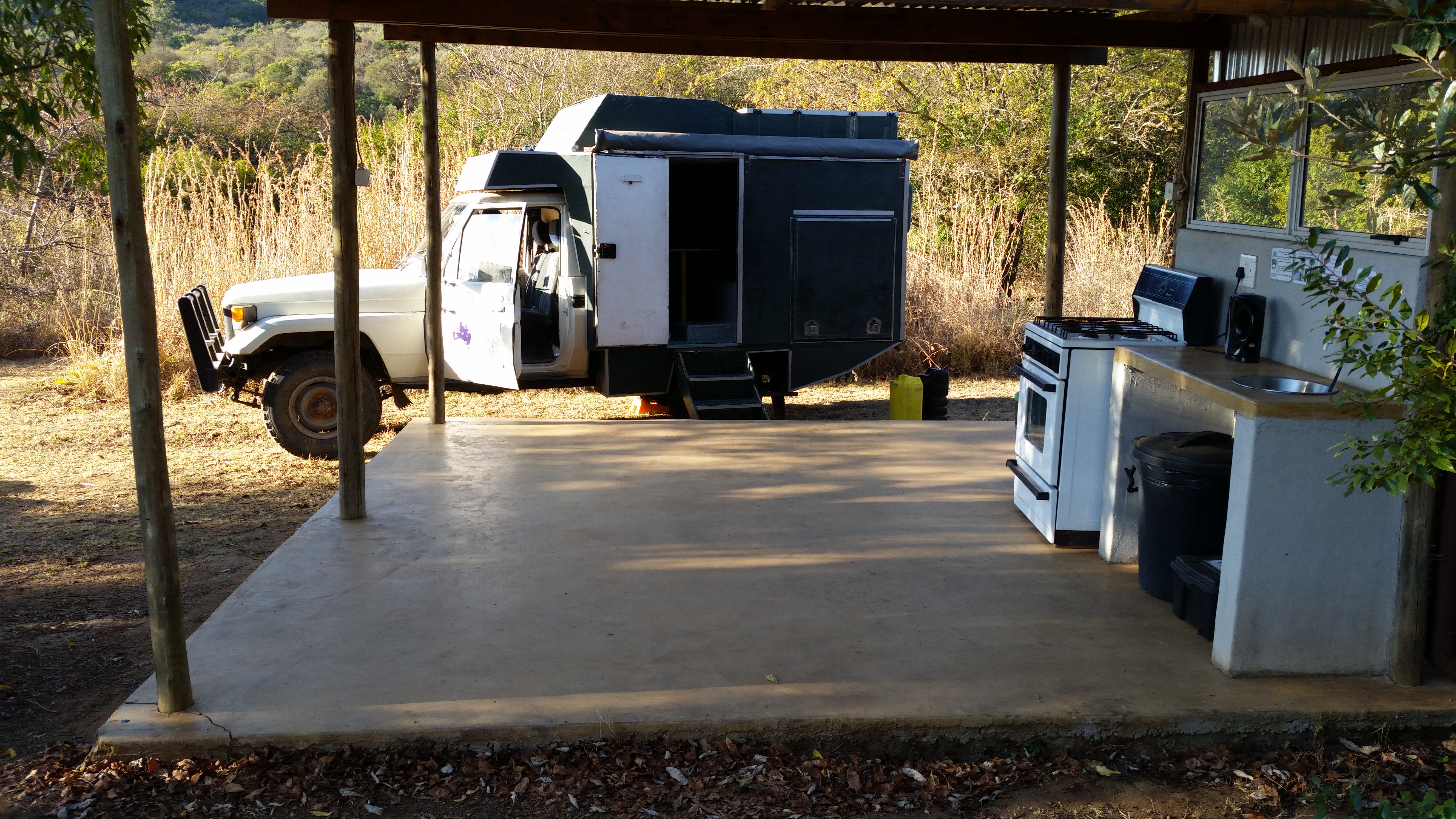
Nthakeni Bush and River Camp was an absolute gem. Located on the Mutale River, it offers a range of accommodation and provides employment for local villagers. Our campsite had its own outdoor shower, (indoor) toilet and the best camp kitchen I’ve seen. Well-equipped, nicely laid out, it was excellent!
It would have been great to spend more time at any or all of the 3 South African campgrounds we visited, but …. places to go, borders to cross, a new country to explore …
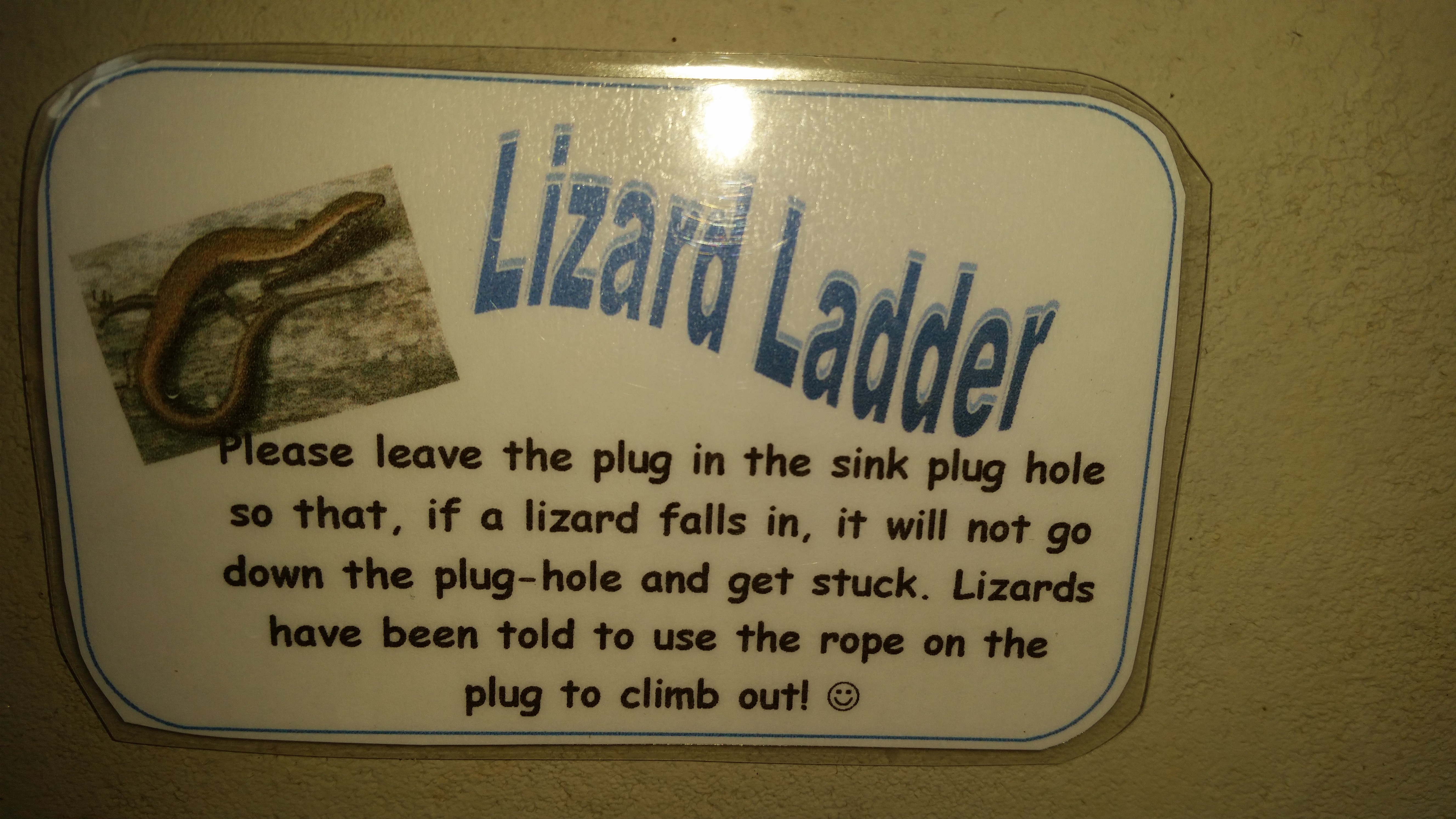
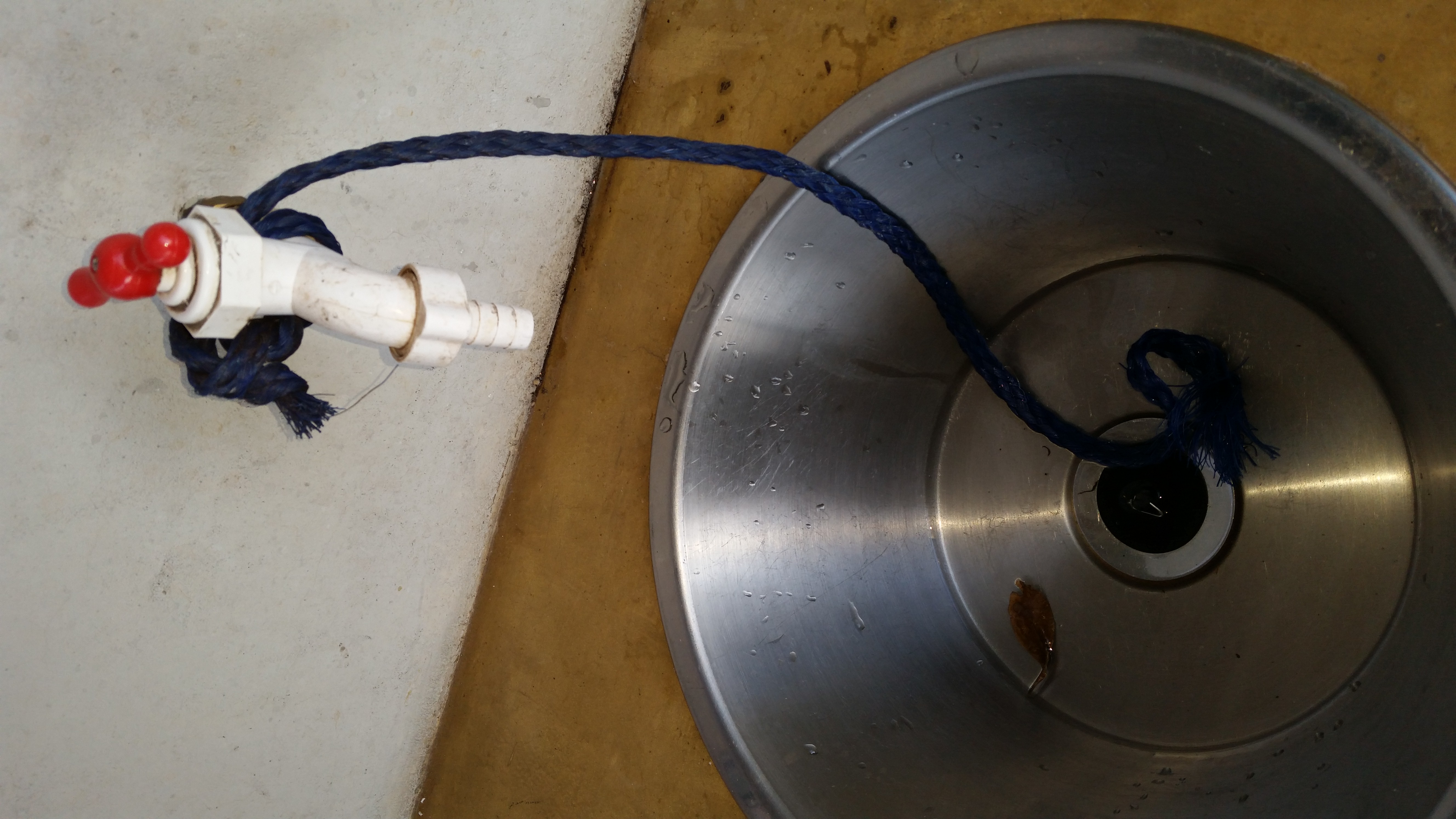
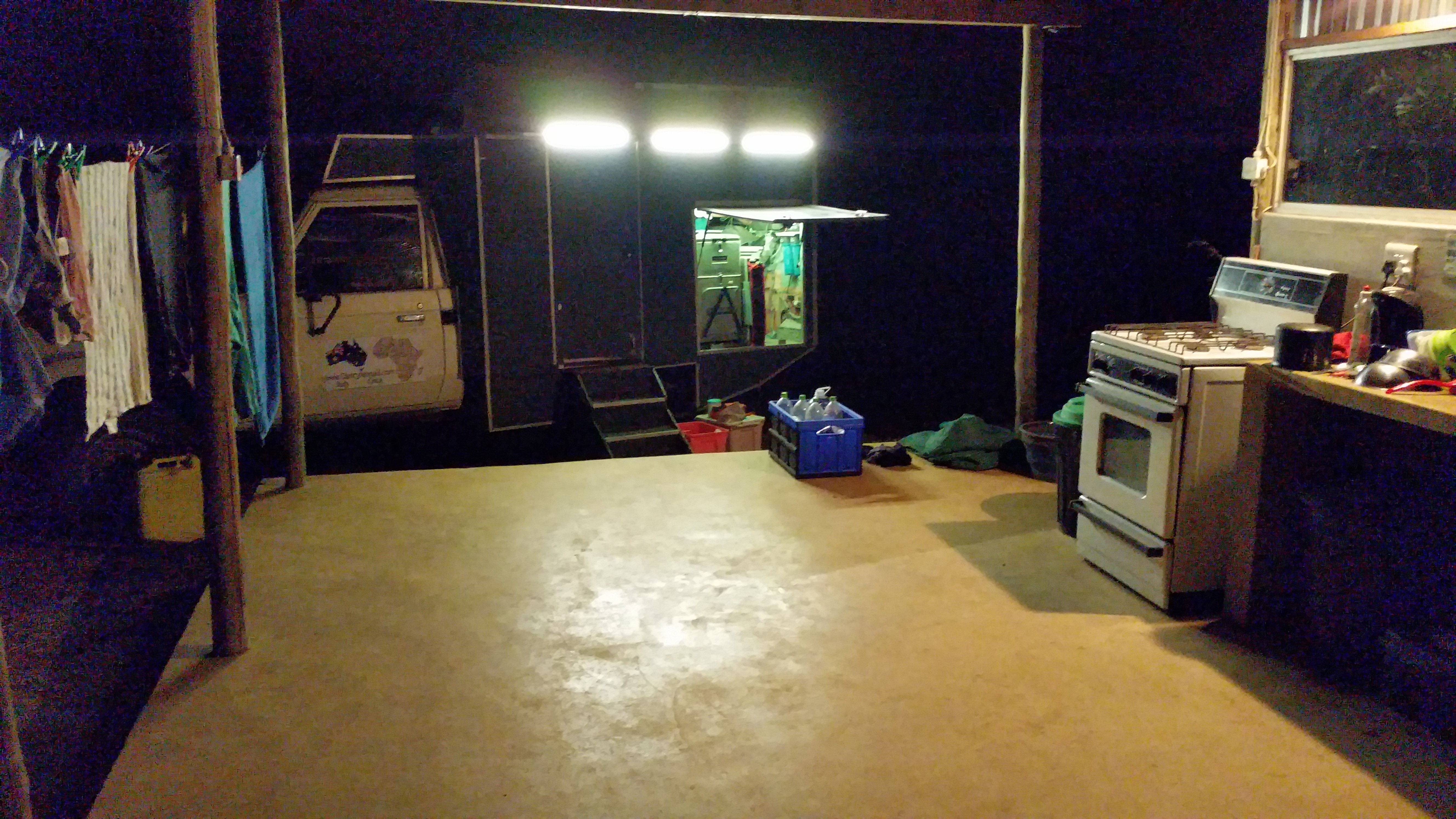
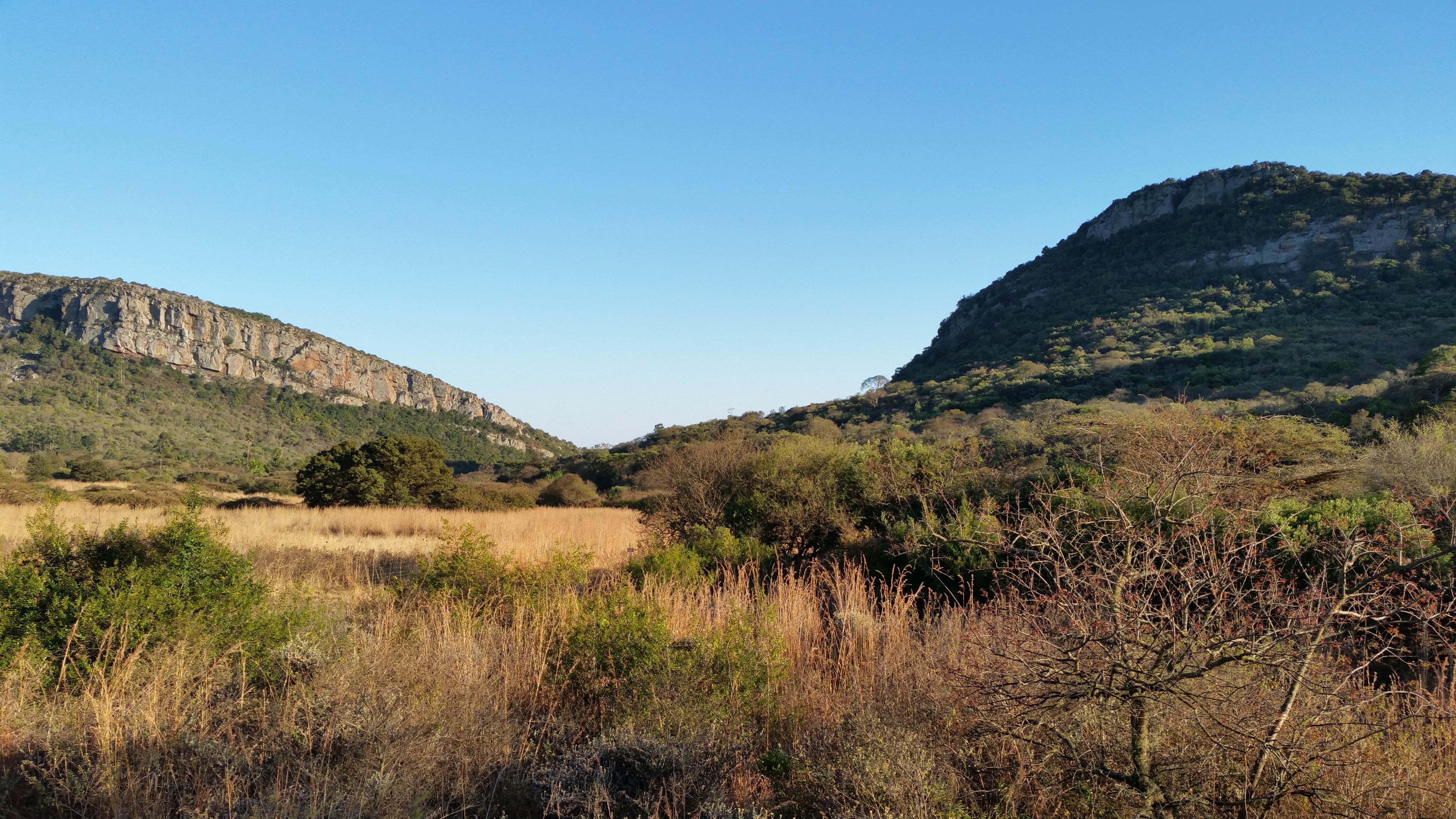
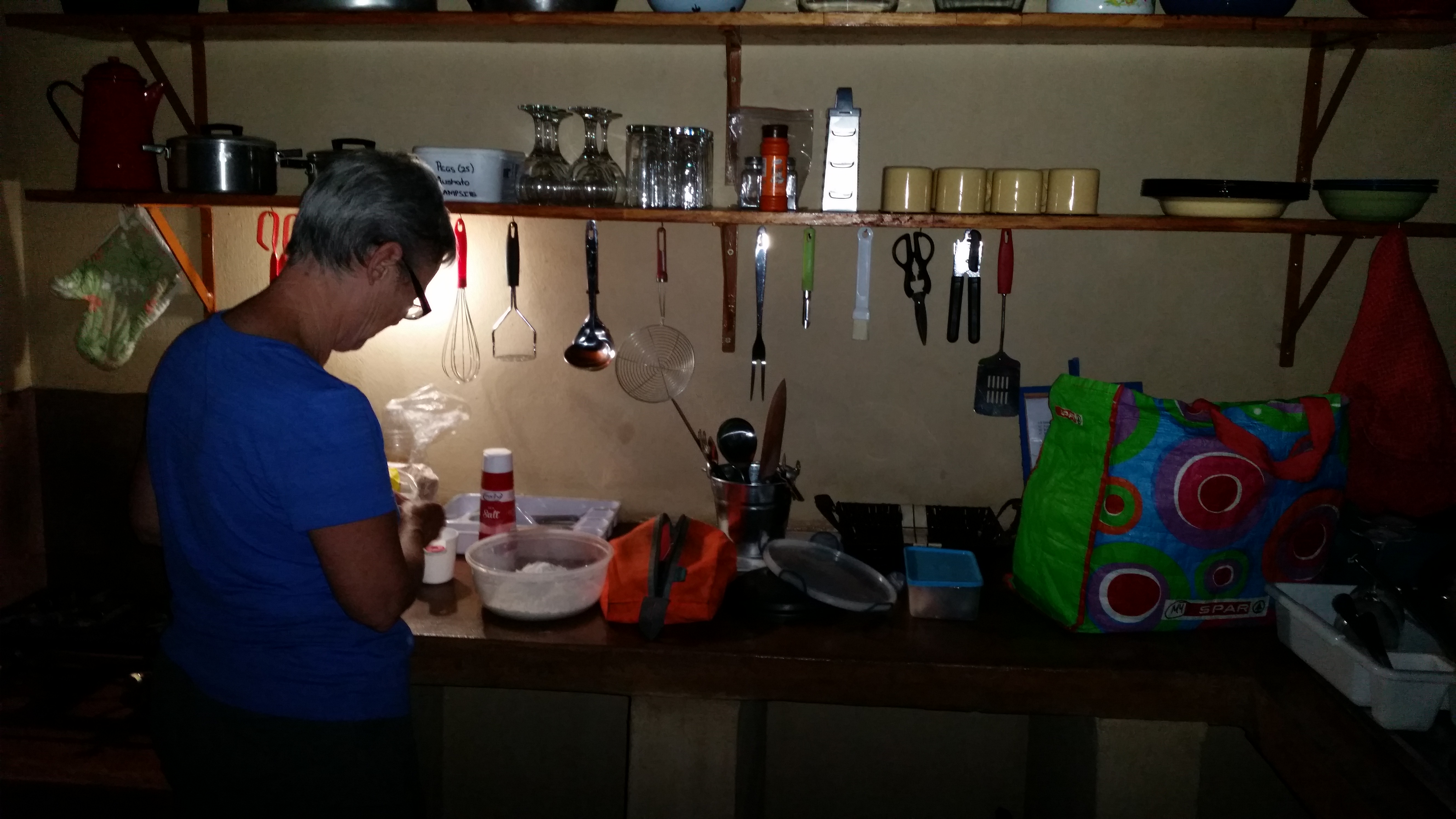
Last camp in Botswana, unused road on ioverlanderCamped at ZvakanakaZvakanakathe lizard ladder at ZvakanakaNight-time and washing at ZvakanakaSoutpansberg mountain rangeNthakeni Bush and River Campthe river near Nthakeni Bush and River CampNthakeni Bush and River CampJudy cooking in the kitchen at Nthakeni Bush and River Camp
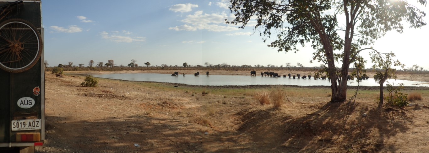
An aggressive looking Cape Buffalo in Kruger National ParkElephants in the distance Kruger National ParkMonkeys and Warthogs Kruger National Park
It seems hard to believe now, that the first time we visited this beautiful country the only thing I wanted to do was go to Gaborone. It’s not far from the SA/Bots border and I’d read so much about it in the No 1 Ladies Detective Agency books. I just wanted to see it for myself, and maybe catch a glimpse of the Tiny White Van.
We’re now visiting Bots for the 4th time and each time we fall a bit more in love with the place, the people, the incredible scenery and the overall ‘vibe’. And we keep on finding more places to see and more reasons to visit.
We crossed the border at McCarthy’s Rest/Tsabong yesterday and almost as soon as we’d arrived in Bots, we relaxed and heaved a sigh of something close to relief that were back here. Our last full day in Sth Africa had been a bit of a trial – the last big town before the border, Kuruman, is a rough place and we were glad to get out of there. Then the first place we tried for a campsite didn’t offer camping any more, despite multiple signs on the road advertising same. And then when we got to the next place, OppiKnoppi, we got our first flat tyre. At least we were able to spend the night there, in a nice cabin that cost us R150pp – around $30 total.
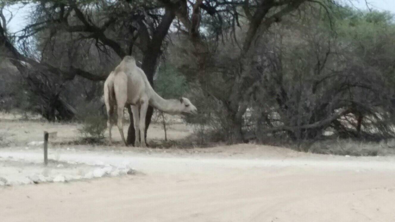
Last night we stayed at the Tsabong Eco-Tourism Camel Park, which is about 10kms out of Tsabong, and 30kms from the border. We have a powered campsite, which has a braai (of course!), huge stack of firewood, outdoor sink and we also have our own bathroom area with toilet, shower and fancy washbasin. And plenty of hot water! We got here early enough yesterday afternoon that we were able to do a load of washing, Greg got some stuff done and I had an afternoon nap. A couple of groups of camels wandered past our campsite, but otherwise we had our space to ourselves. Lovely place, I’d recommend it to everyone visiting this area
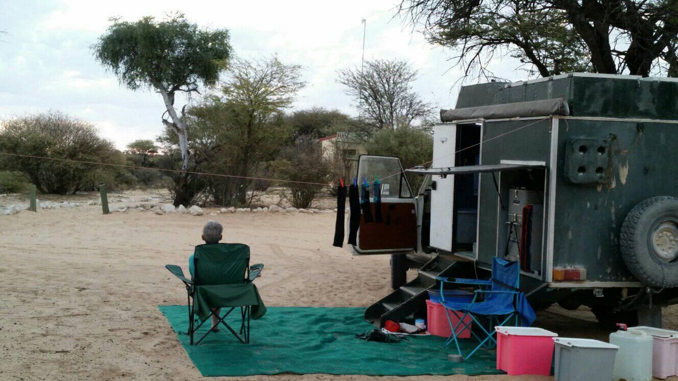
We’re heading ‘bush’ and will be off the air for about a week. Going to the eastern part of the Kgalagadi Transfrontier Park at Mabuasehube, then west to Kaa, leaving the park and heading to Hukunsti, where we’ll have internet access again hopefully, Kang and then north to Ghanzi. Sadly we’ll miss the Heavy Metal Festival in Ghanzi, but we’ve read about it and it looked like a hoot! Then to the CKGR – Central Kalahari Game Reserve. That’s the plan.
See you in a week!
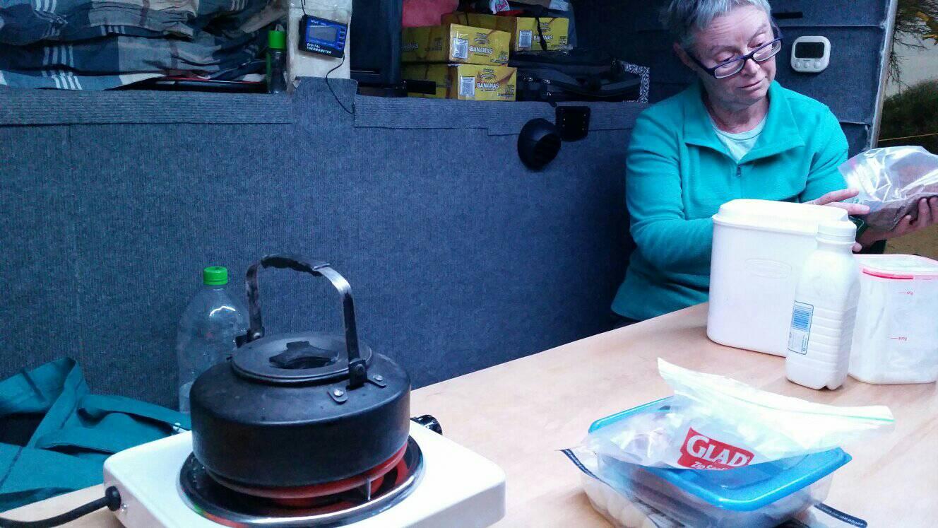
Tsabong Camel ParkA camel at Tsabon Camel ParkCooking dinner making Yogurt
We did it! 3 weeks in Angola and we didn’t get sick, injured, arrested or robbed. We really enjoyed (most of) our time there, and feel like we got to see a good cross-section of the country and managed to keep away from the capital Luanda which doesn’t seem to have anything much to recommend it. The Scottish oil worker we met at Arco lives there and he told us not to bother.
We’ve spent the last few days without internet, so let’s have a quick catch-up.
We thought that rather than just head back over the Santa Clara border, we’d see a bit more of the country and cross over further east at Katuitwi / Katwitwi. Greg had saved a trip report of someone’s Angola tag-along tour from a couple of years ago and he gave good information about places they had camped along the way, the condition of the road south to the border and how long it took the group of 15 at each border post. The Angolan post had been recently completed when the author crossed it in 2016, and it had taken the group 8 hours to drive the last 250-ish kms on an unsealed road. So, slow going but we’ve been used to that in Angola.
Blergh, big mistake! The road must have deteriorated since 2016 and it took us a day and a half to do what the tag along group had done in 8 hours. To any overlanders reading this, Don’t Do It! Cross over at Santa Clara or Ruacana.
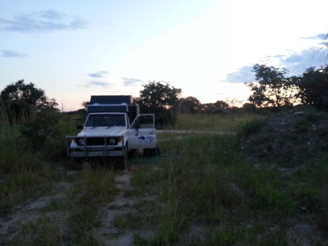
The author had also very helpfully mentioned a couple of quarries they had camped at along the way, and we stayed at them too, but as we realised the last section would take us more than a day, we had to find somewhere to camp about 60kms north of the border post. In this still-heavily landmined area we couldn’t risk just going off-road and finding something, and there were no convenient tracks for us to just head down, so we ended up on a narrow piece of land between 2 tracks where vehicles had driven to get from one to another. Basically, we camped on a median strip!
The border crossing at both the Angolan and Namibian posts was pretty easy, once we actually found where to go at the spiffy newish mostly unused Angolan post. There were 3 entry booths and an enormous commercial building, a bit like the one at Santa Clara,but it was all sitting empty and overgrown with weeds. No signage, so we just drove until we were stopped by a string across the road, then had to be shown where to find the single immigration desk hidden at the back of a building. It all went smoothly but we were a bit baffled that the customs lady insisted on inspecting nearly all our storage boxes. Um, we’re leaving, what could be in any of those boxes that might be of interest? Anyway, her English was good so I gave her my 2 Women’s Weekly mags. It’s such a quiet post, I thought she might need something to do to keep occupied.
The Namibian side was fine, but Greg had to show the Customs lady there how to fill in our carnet as they don’t get many of them. I noticed on the Immigration officer’s daily log that we were number 4 & 5 to pass through, at about 10.30am. And then when the policeman was checking our paperwork, Greg noticed that ours was the first vehicle for the day. For some reason, even though we had paid our road tax when we entered from South Africa and it was valid for 3 months, we had to pay it again because we were entering from Angola.
And then we were back in Namibia, driving on the left hand side of the road, on a sealed road with line markings and street signs and all that stuff were used to. It was bliss!
This is getting a bit long, so I’ll just add a few general comments about Angola – everyone we met, spoke to and even drove past seems happy and friendly. As a nation the population has a lovely disposition despite, or maybe because of, the incredible hardship of that long civil war and the ongoing poverty amongst the majority.
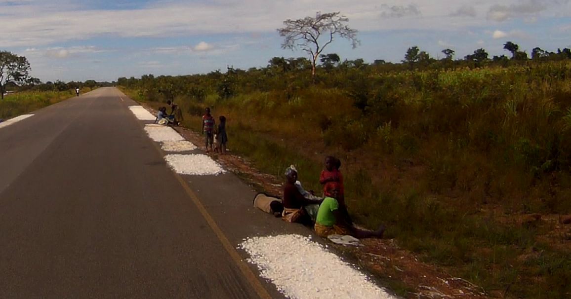
One of the saddest things we saw were small patches of shredded casava/manioc/yucca being dried on the margin of the main sealed road south before it became a rutted nightmare – what the South Africans call the ‘yellow lane’, the safety or breakdown lane. Better-off locals would dry it in flat baskets or on large squares of fabric within their compound. The poorest people just dried it direct on the bitumen and hope that no vehicle drives over it. When the manioc is dried, it is scraped up, pounded to flour and then mixed with water to make a grey porridgey gloopy mass that is consumed at breakfast, lunch and dinner with small amounts of spice, meat and vegetables. Maize is treated in a similar way.
We saw so many abandoned or incomplete projects, buildings, roads, bridges, multi-storey hotels. This is not a poor country, thanks to its oil, but mismanagement, waste and probably corruption is on a scale we have never seen before.
Would we recommend Angola as a travel destination? Unless you’re an experienced Overlander and have visited other African countries … no. But if you are an Overlander .. absolutely. We’ll remember those 3 weeks for the rest of our lives.
casava/manioc/yucca being dried on the margin of the roadThe terrible road to the Namibian borderOne of the many abandoned buildings along the roadOne of the few vehicles plying this road, a 6 wheel drive truck – broken downThe eroded sandy road to the borderFilling up the tanks with water from the Kubango / Okavango River
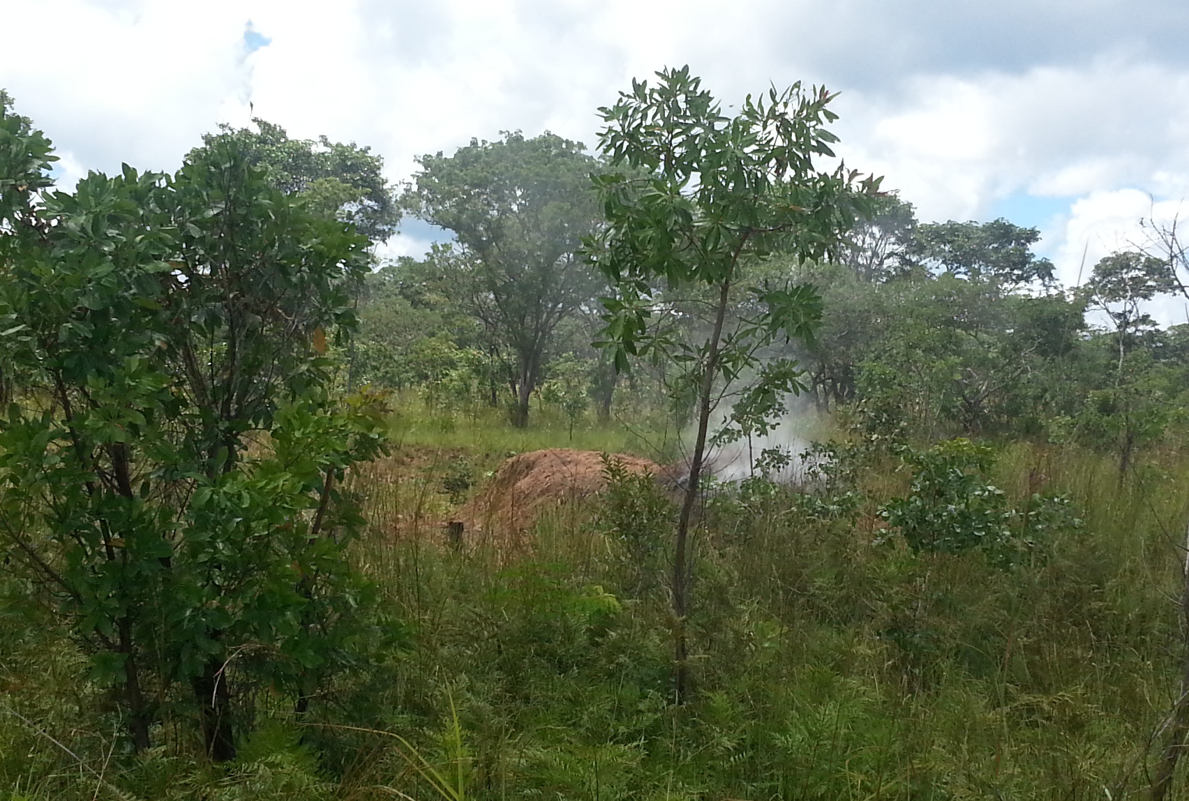
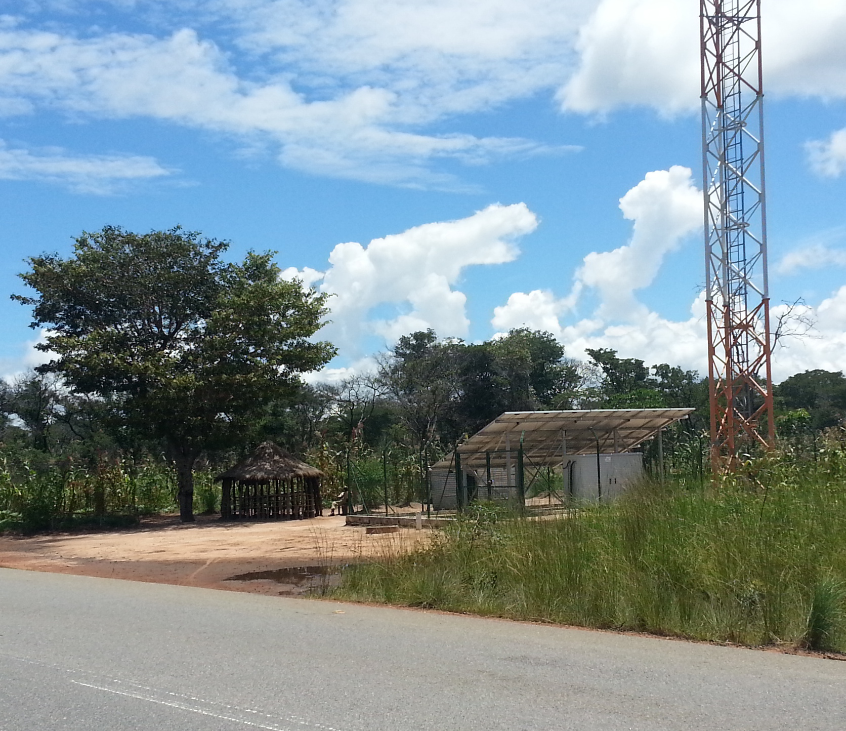
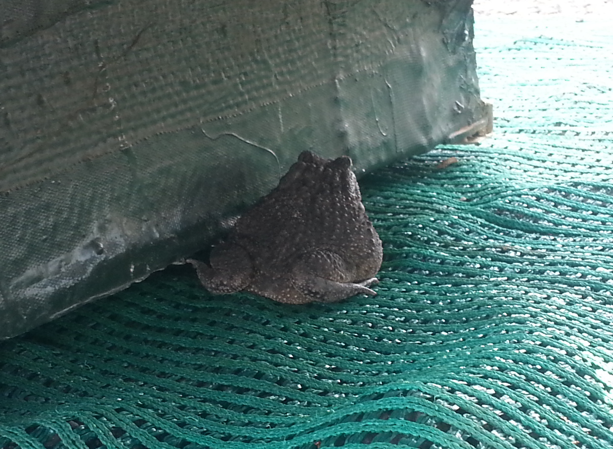
Getting water from the Kubango / Okavango RiverOne of the abandoned businesses that failed because the road building never finishedAbandoned construction equipment including a D6 Caterpillar and a abandoned road construction campShower time at the sand quarry where we campedCharcoal burningEvery cellphone tower had a guard. They usually lived in a grass hut, next to the latest in 21st century technology.A frog that sheltered under our steps at the quarry campsiteCamped on a median strip, the last night in AngolaOur route in AngolaCamped at Rundu, the first camping ground after 21 days