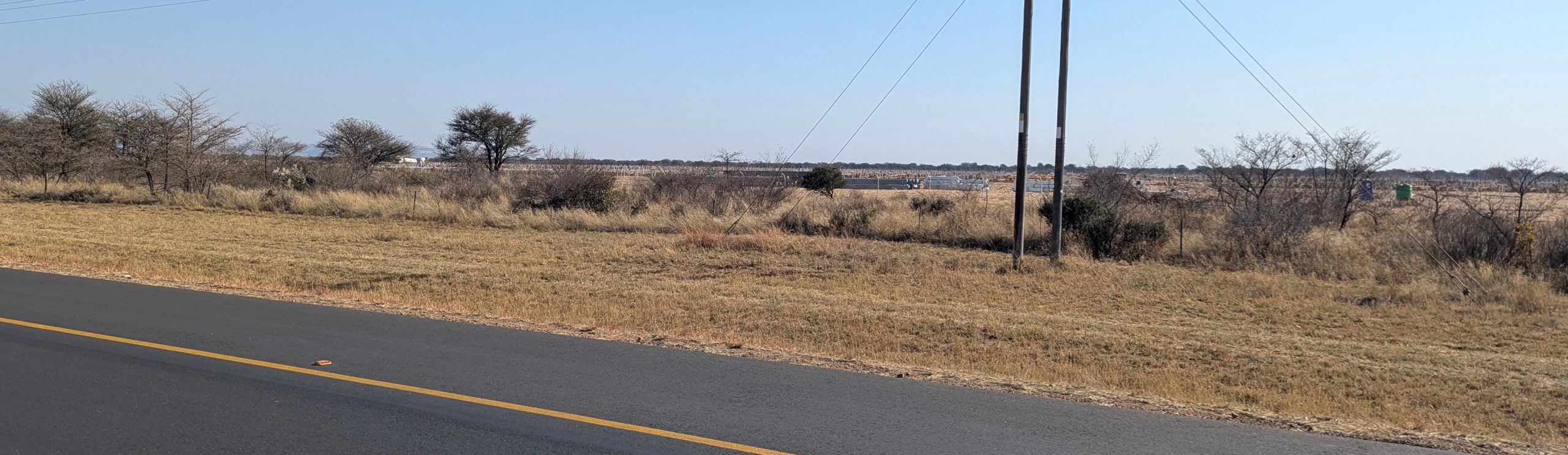
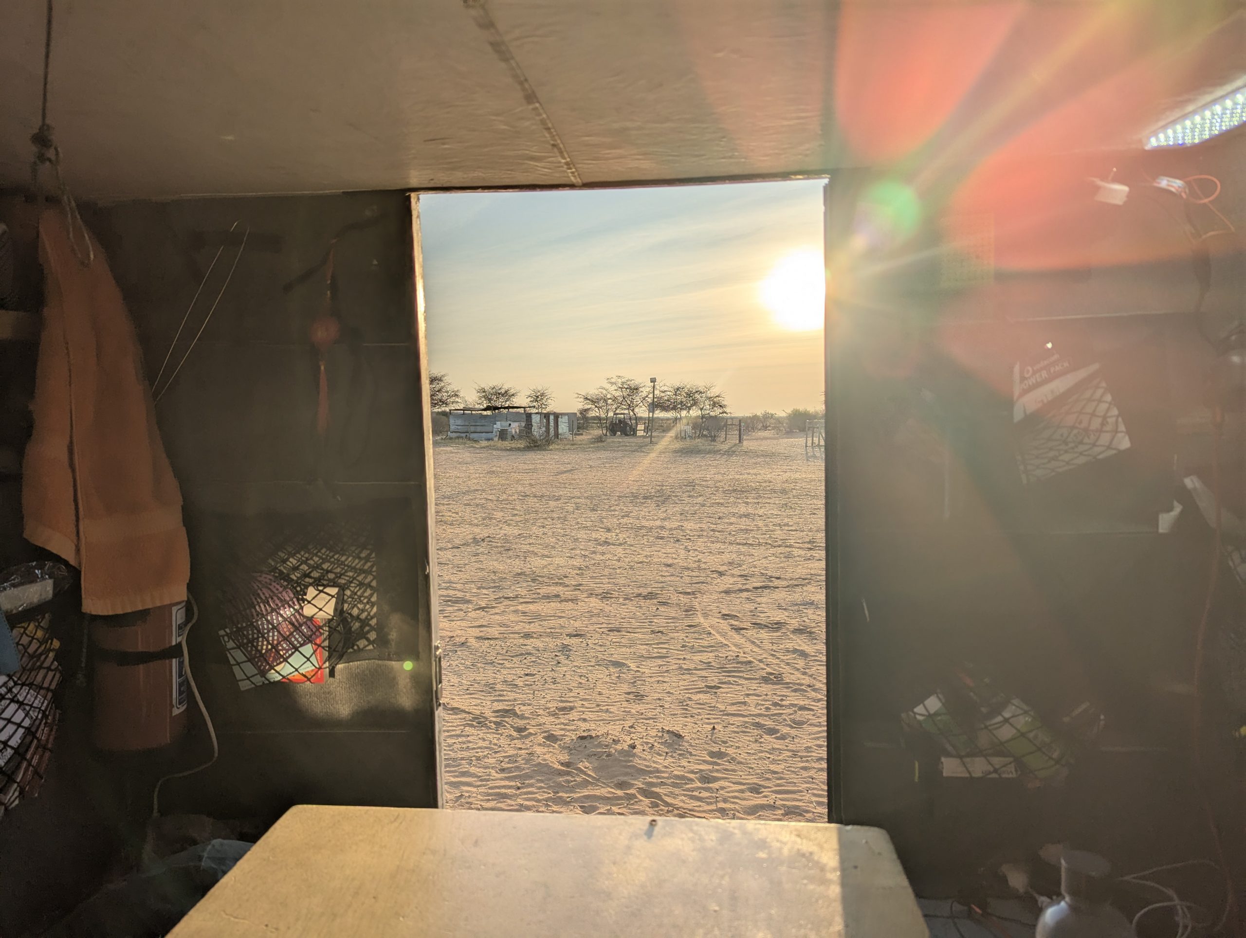
I had a quiet night camped on the cut-line. A cut-line in Botswana is a sort of fire break between two areas, not normally travelled along, and usually pretty sandy.

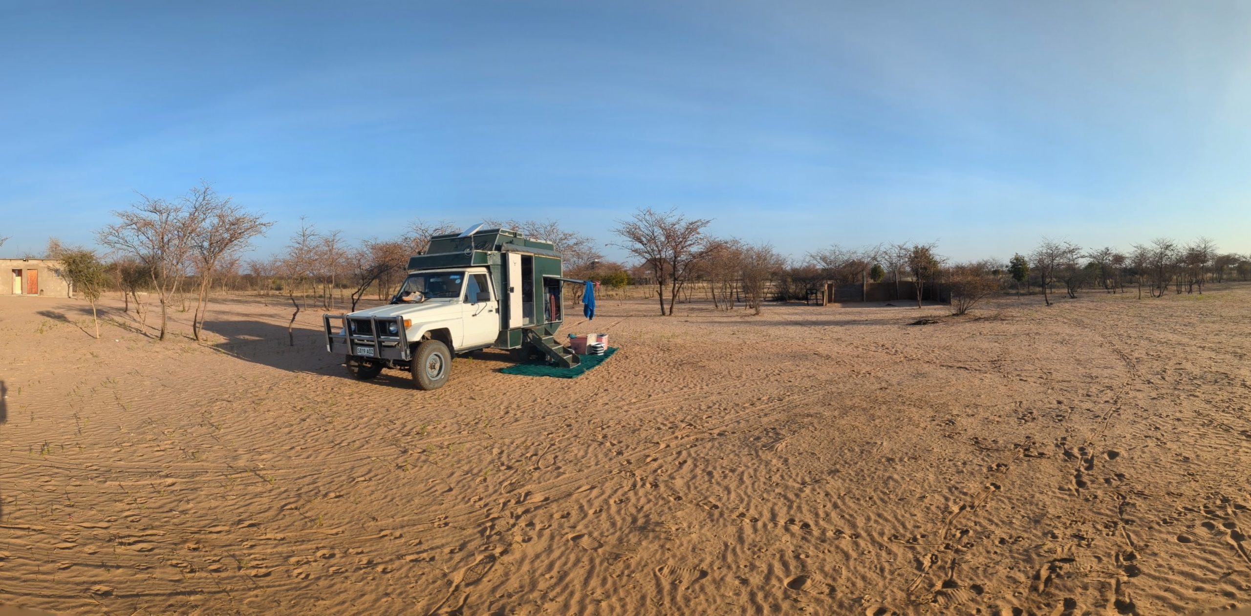
The next morning I was going to get going early, and then have breakfast later further down the road. However there were problems. I couldn’t get the engine started. I had some trouble starting in Kameel, but this was worse. I eventually determined the glow plugs were not working. It dawned on me after a while I could wire them directly from the battery, which I did. Engine started and I got going. I headed down the cut-line and then north along the track to Khakea. I got to Khakea, asked about a sim card, but they couldn’t sell me one. I headed up the road to Sekoma. I tried again for a sim card in Sekoma, but although the lady tried she failed. Getting a sim card in Botswana is very difficult. In Joberg airport I can have one in five minutes, but not in Botswana. After stuffing around with alternatives at Sekoma, and realising than wifi calling does not work outside Australia, I decided to head down to a campsite just past Jwaneng about 15km at Green Zest Farm.I got to Green Zest Farm, and spent some time talking to the young and articulate Harrison. The campsite was pretty basic, no power, no hot water, but it was fine for a night.
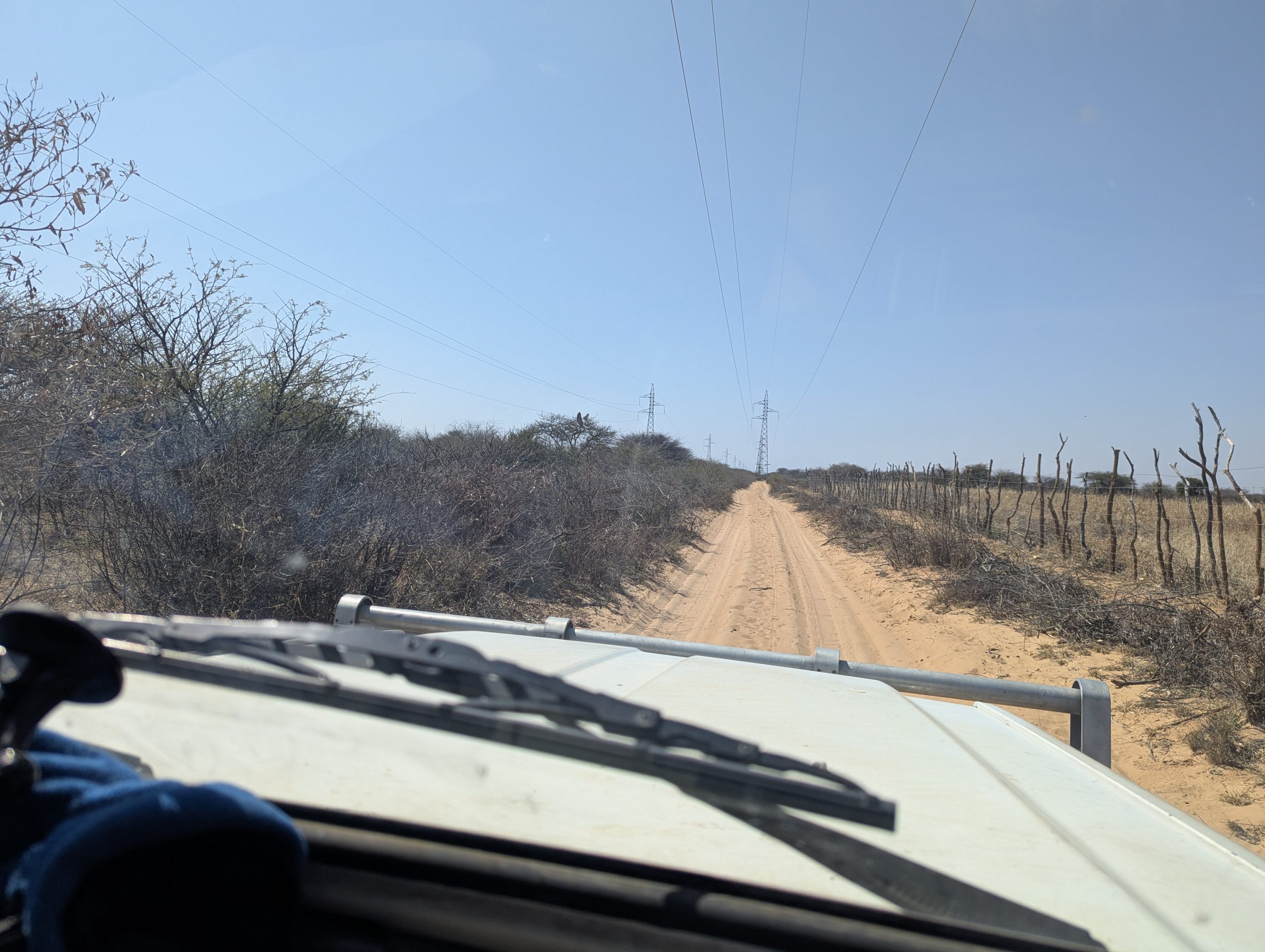
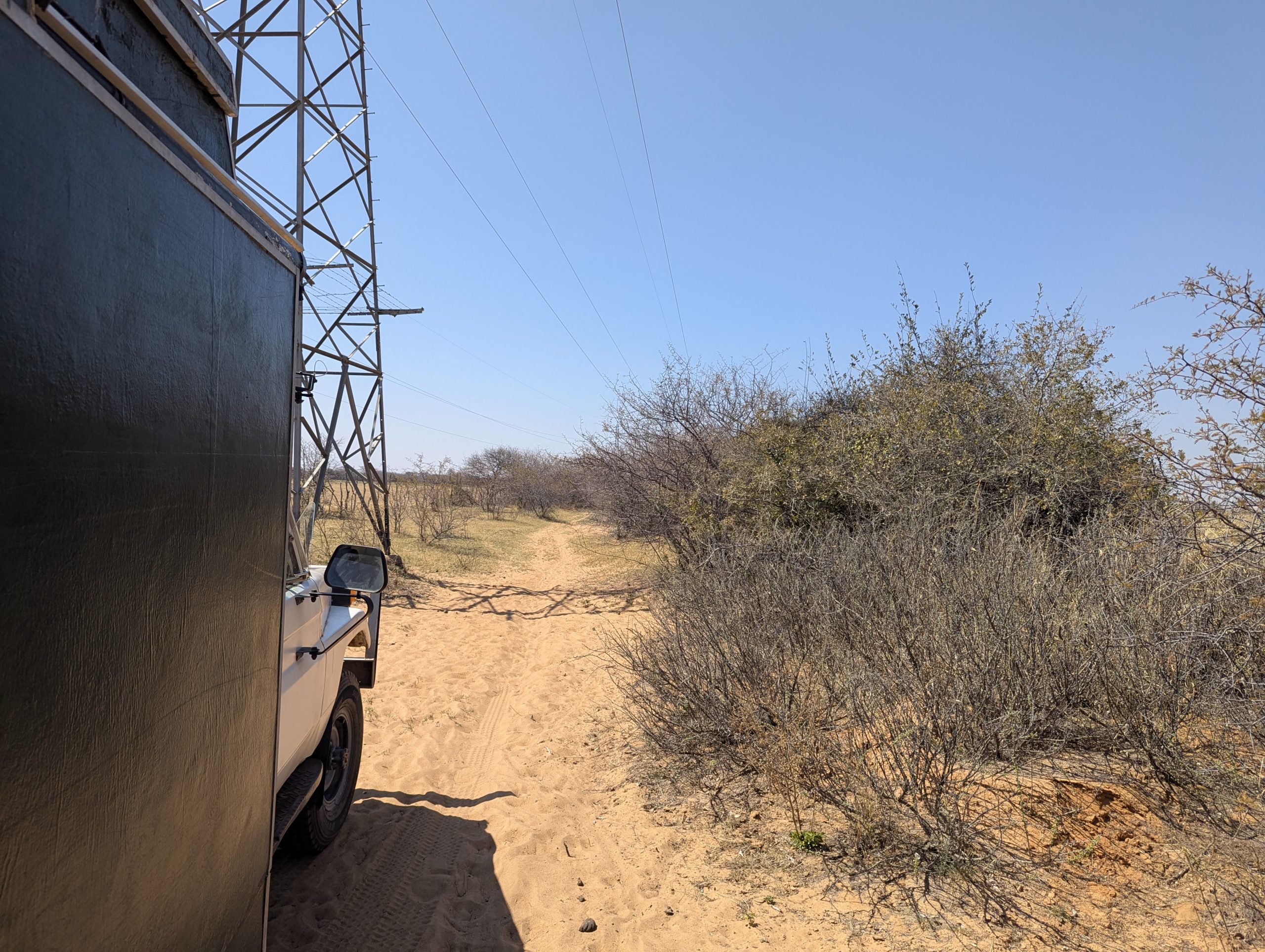
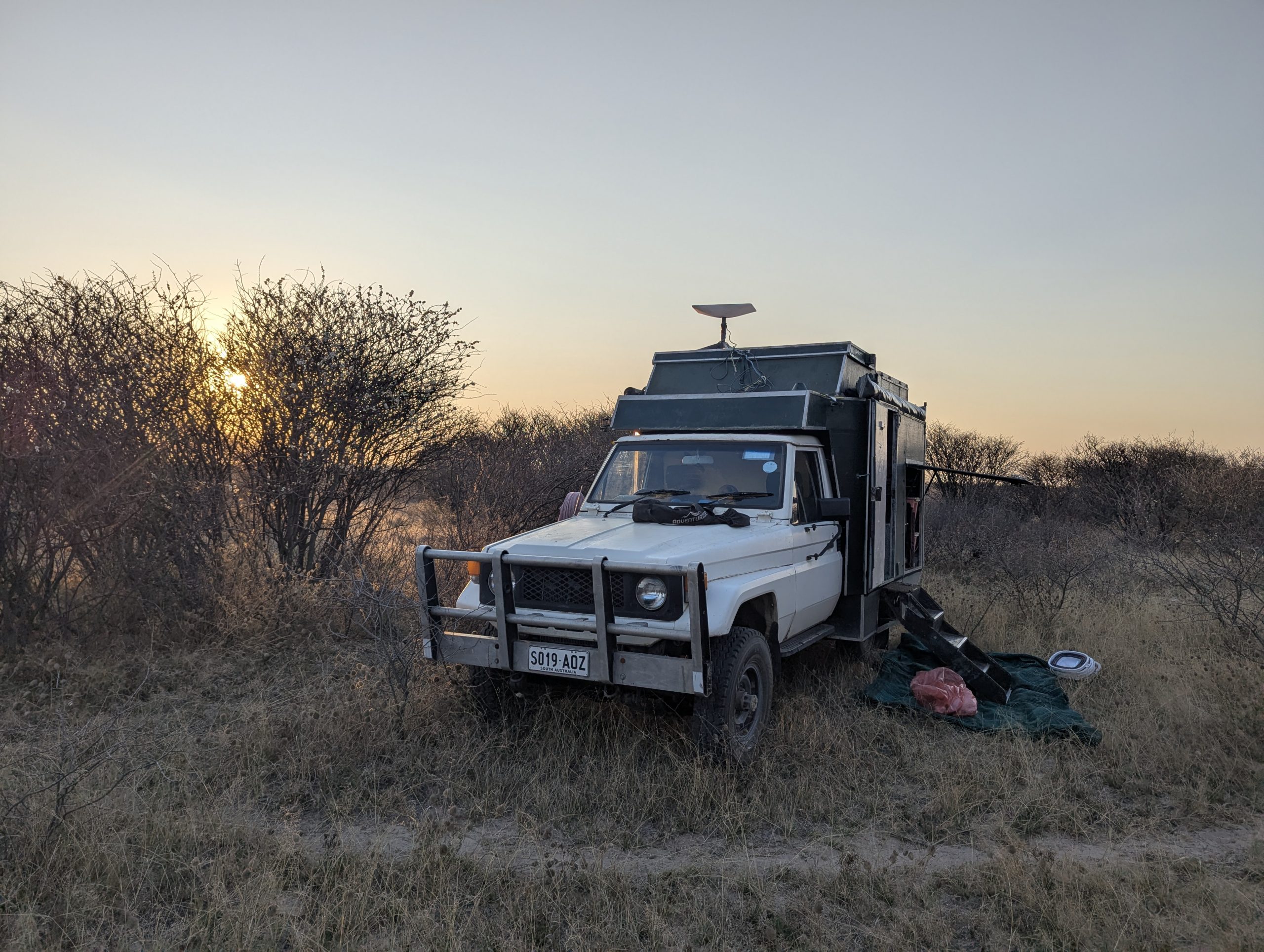
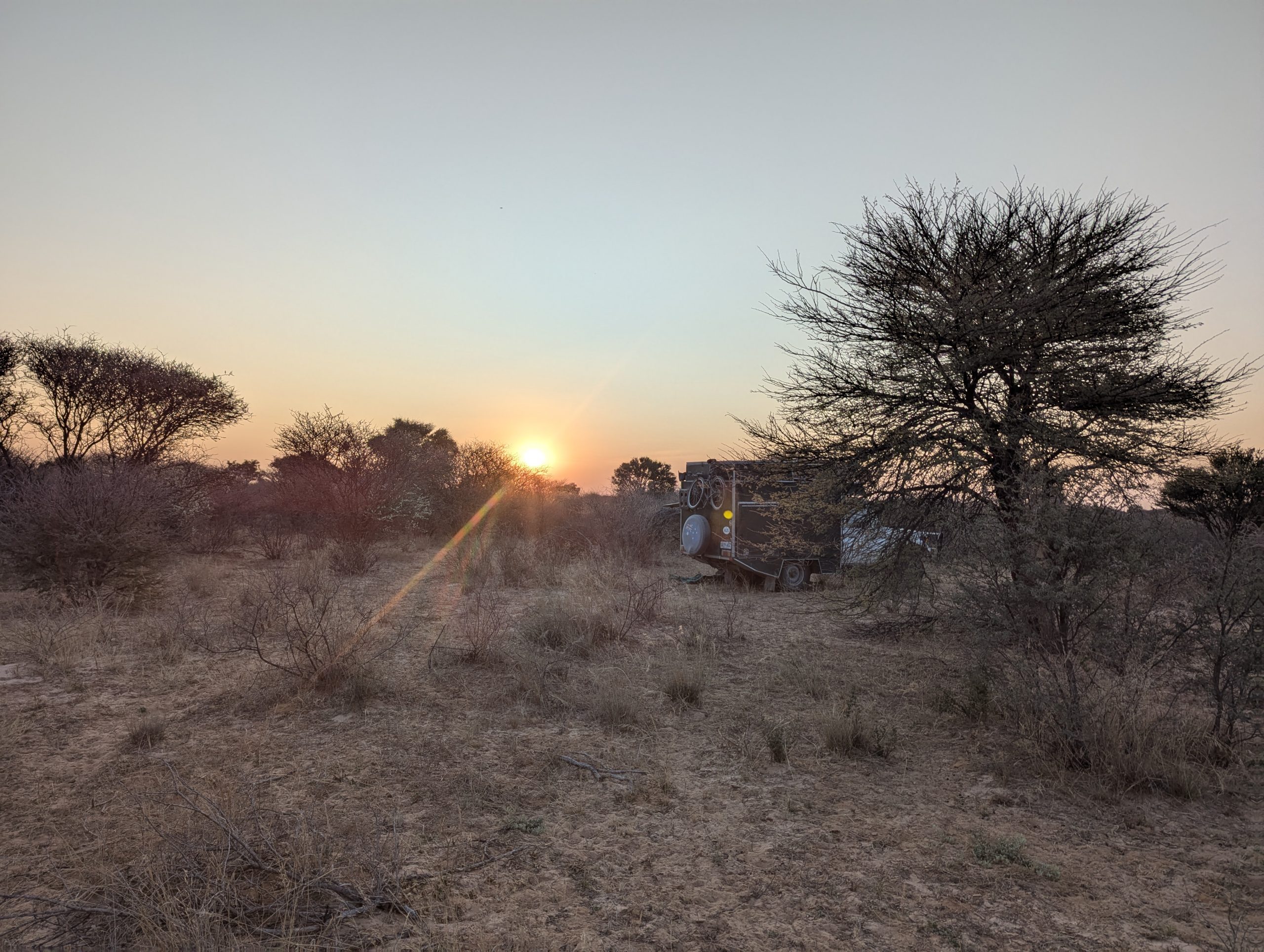
I got going back to Jwaneng and managed fairly quickly to get a Macom sim card. I went to Pick and Pay and loaded up with more groceries. I got more fuel. I then headed north along a track that showed up on Tracks 4 Africa. It skirted around the diamond mine, and then headed east along the power lines. I thought if it followed the power lines it was pretty safe, because they would need access to maintain it. However about 40km in the track stopped and became completely overgrown. A tracked headed north and south. I tried the south track, but it seemed to fade away. I had internet access I looked up google maps satelite view and found the north track eventually joined a track that headed east and rejoined the power lines. I got to the end of the track through a village and headed north towards Letlhakeng. I fueled up there and continued north until about 5:30pm where I found a gap in the scrub and got off the road and camped.