Bape camp to XaXa camp (or Xaka?)

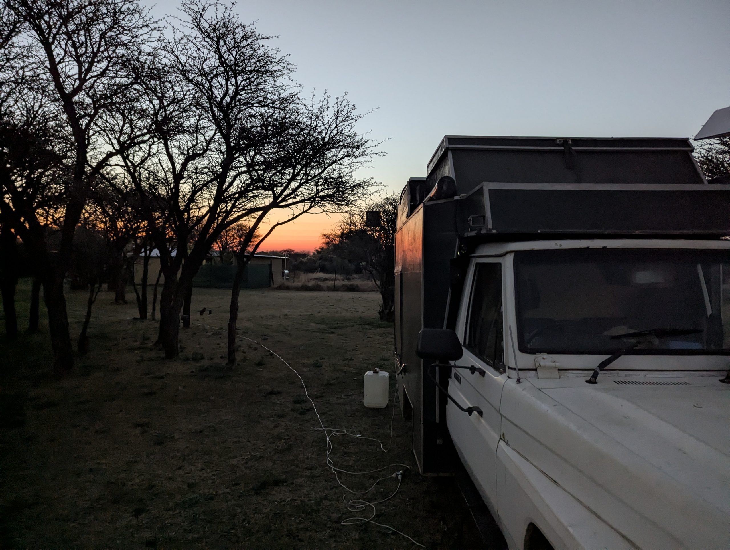
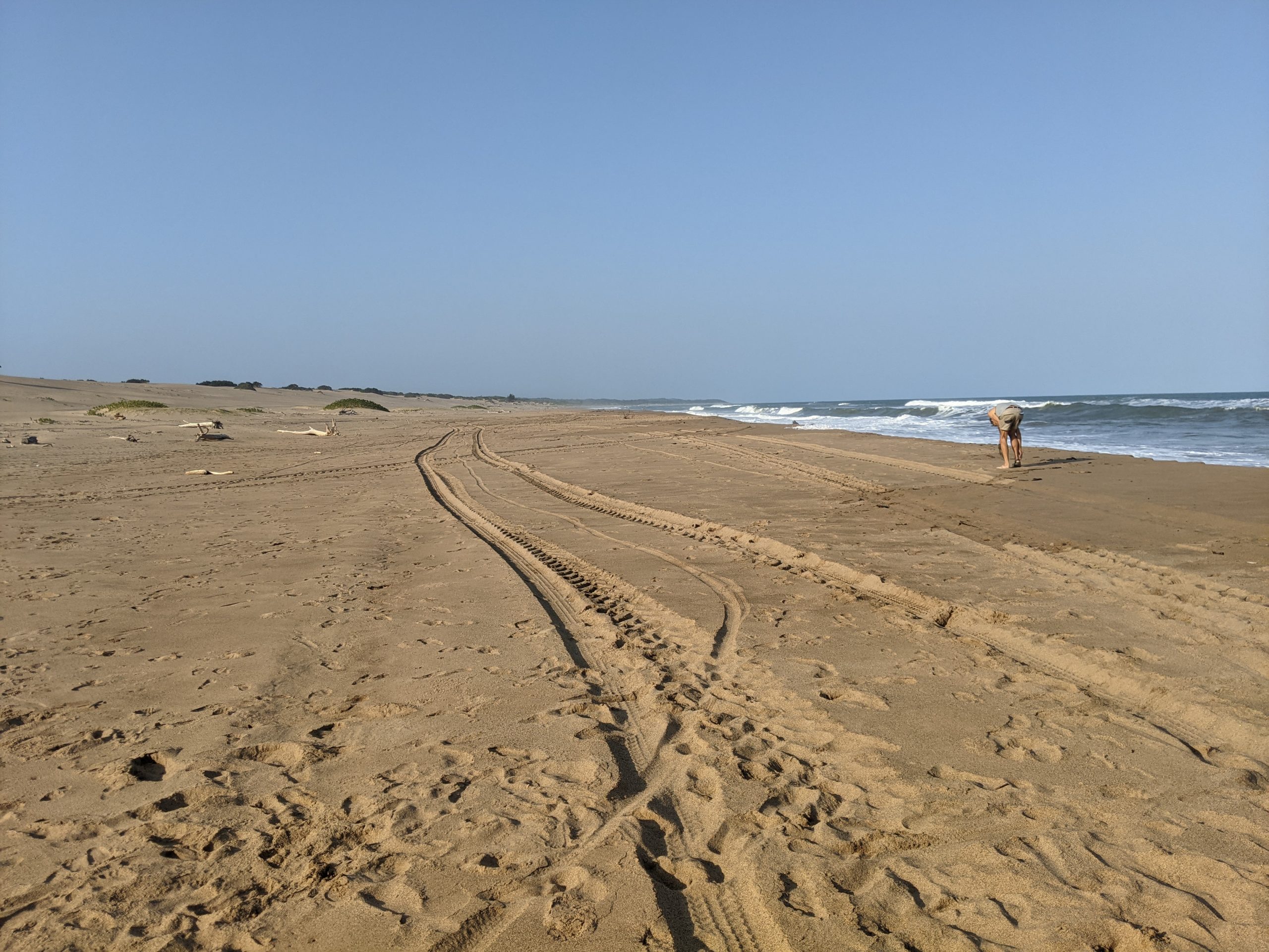
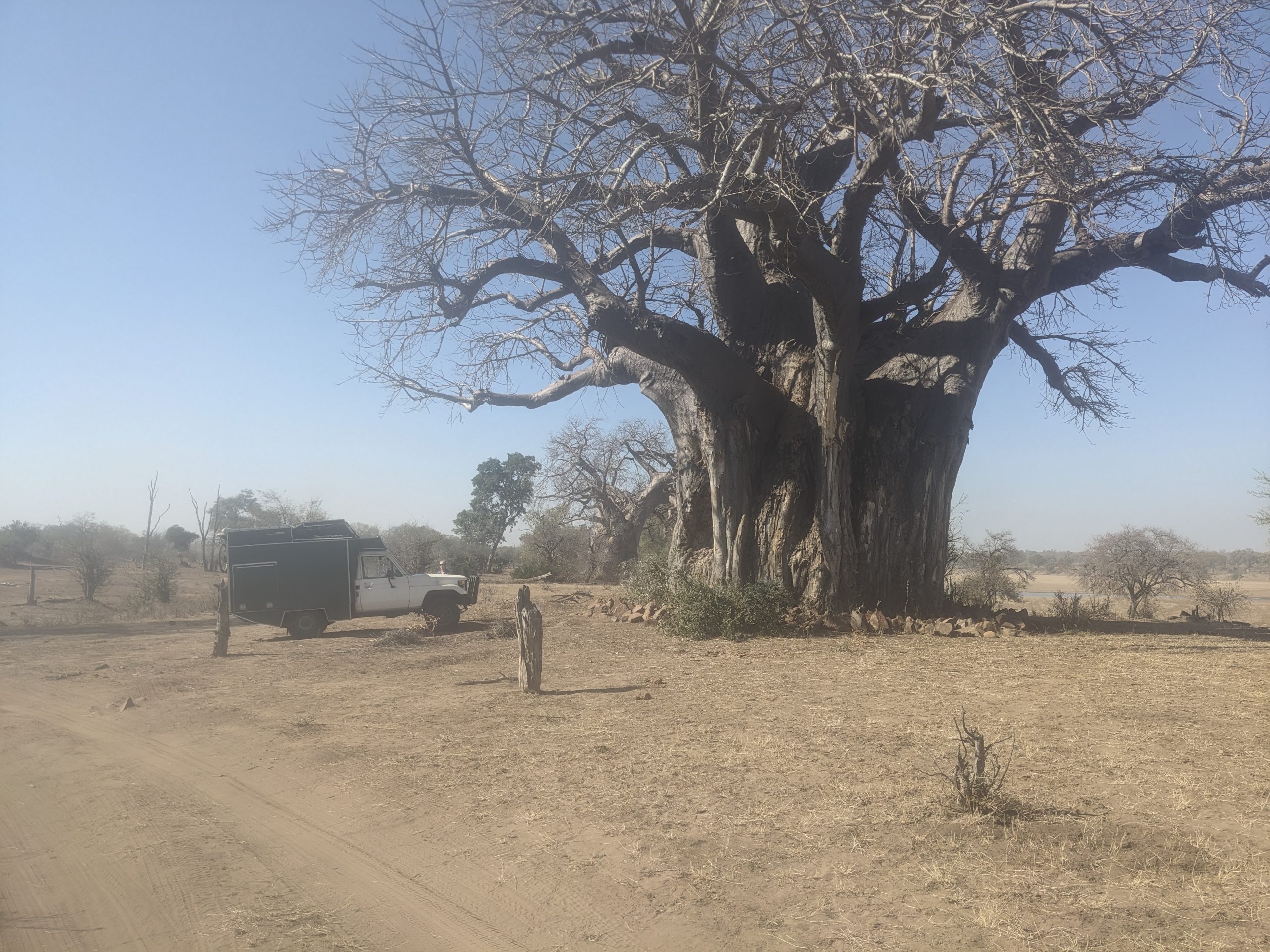
I knew I had a long way to go, 120km, so I was up at 6am to leave as soon as I could. A few things went wrong but I did get going by 7:30am.

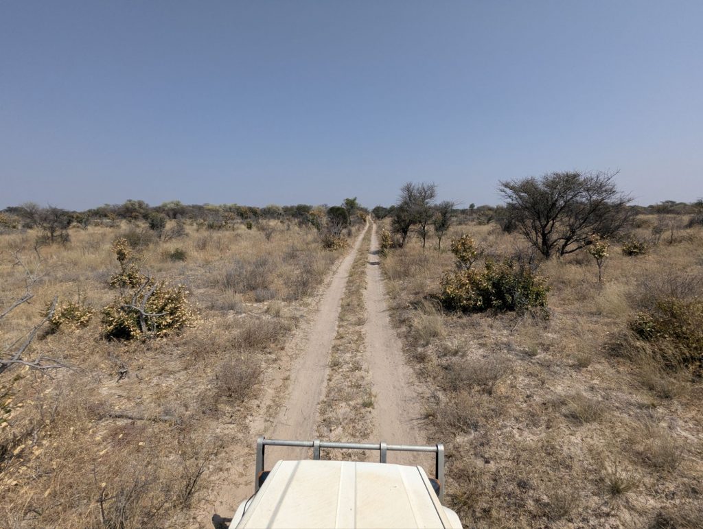
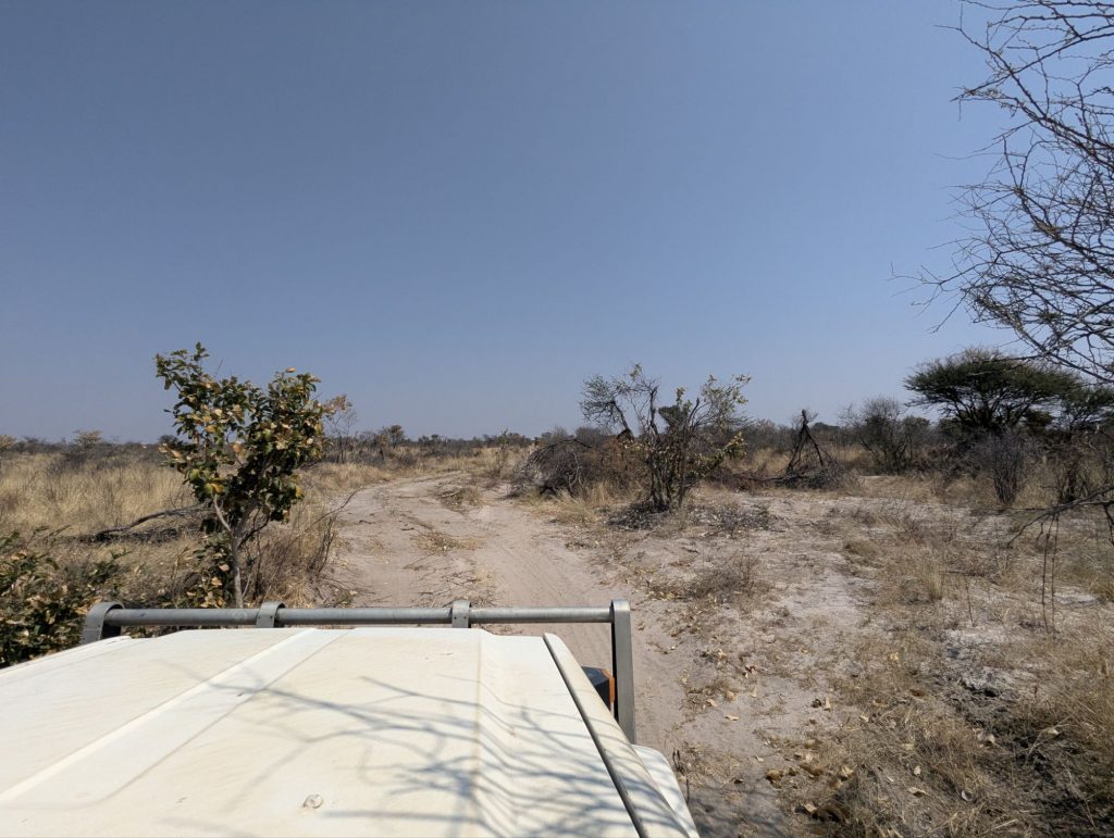
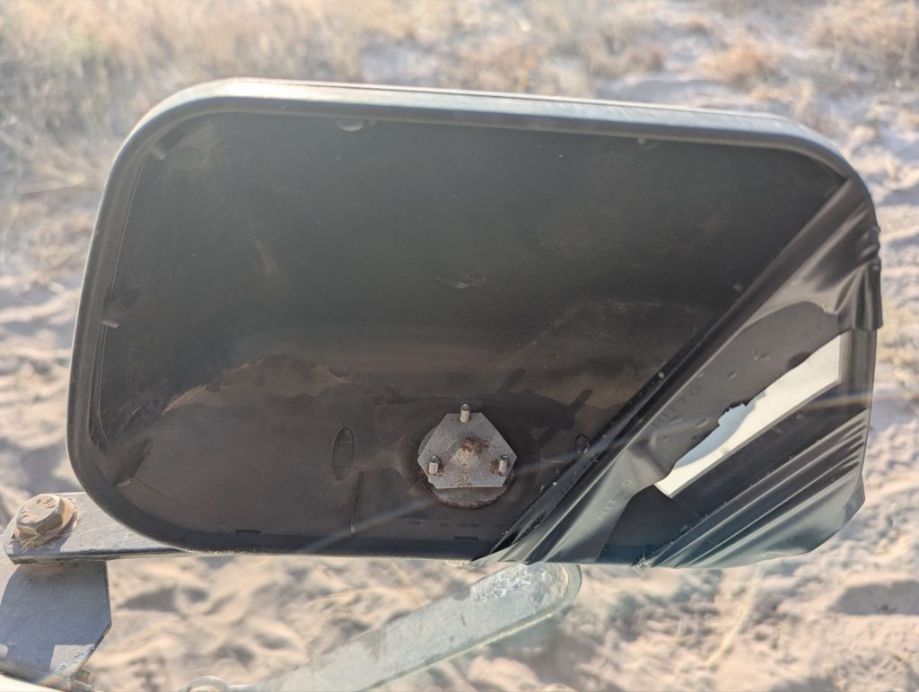
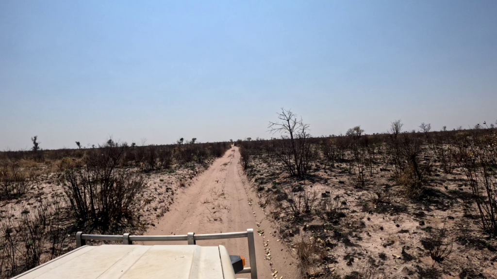
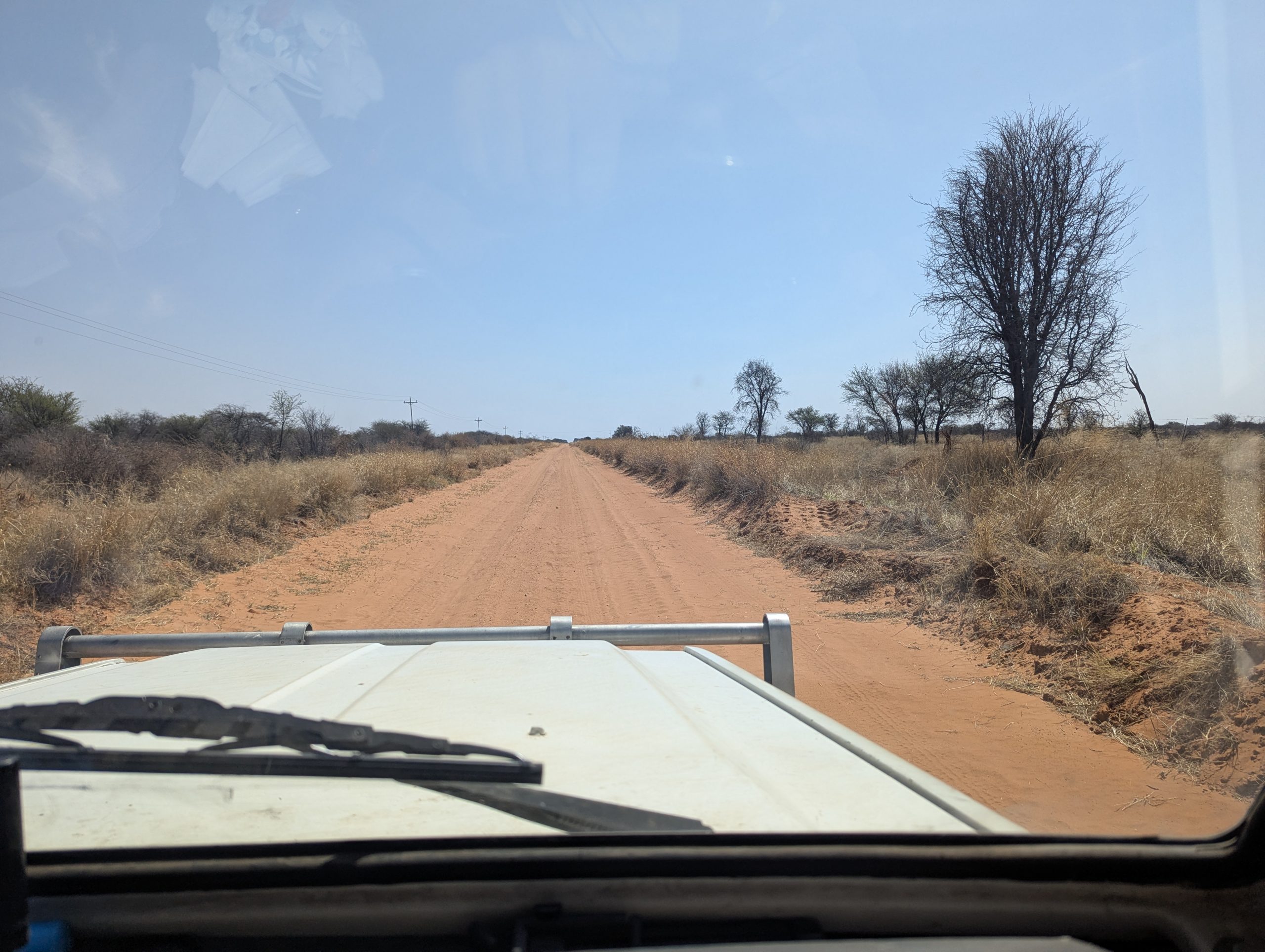
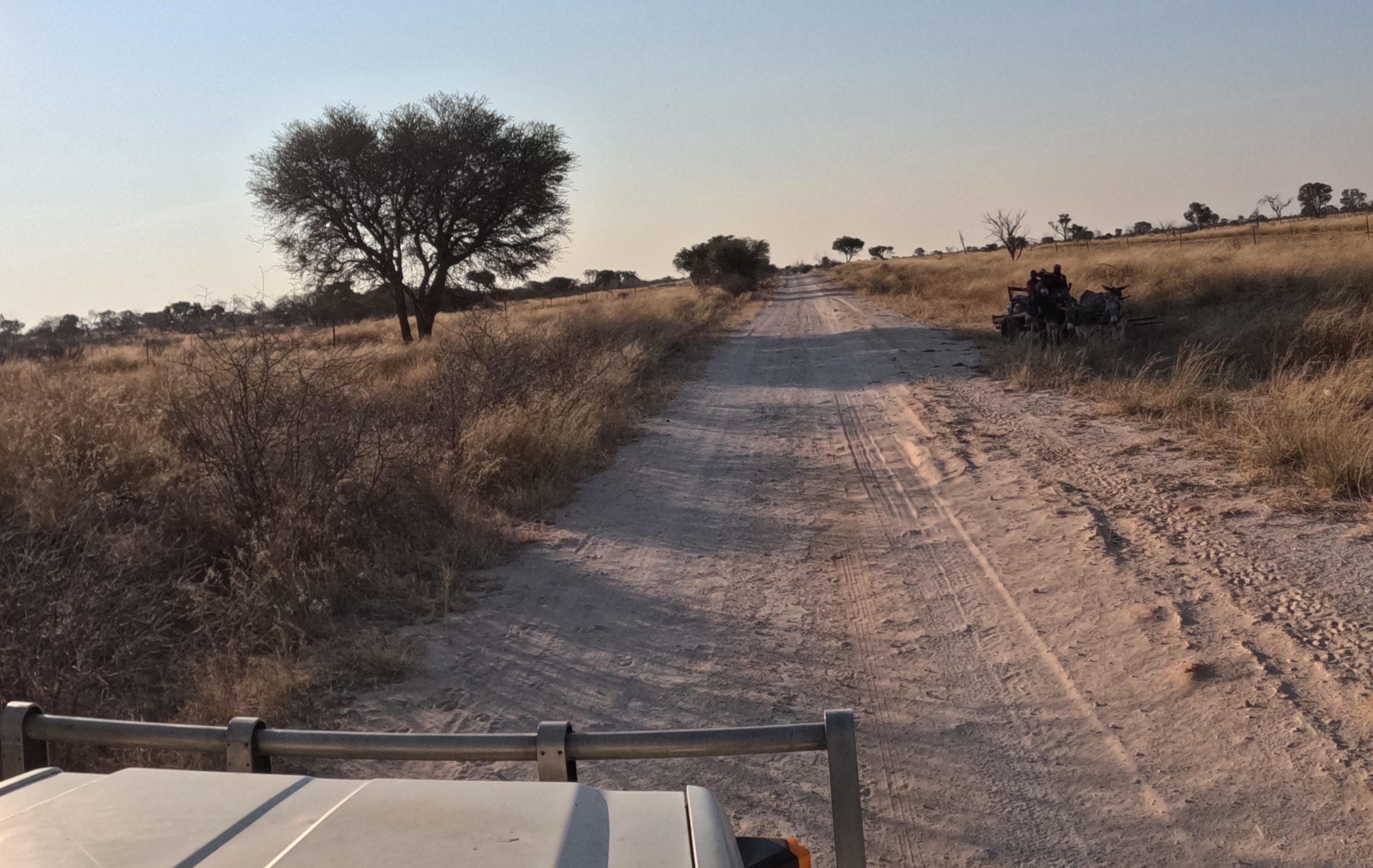
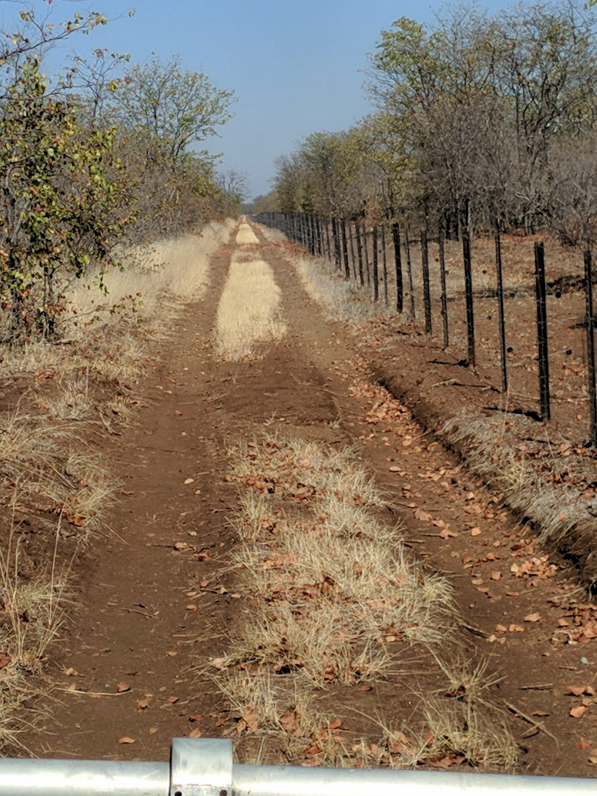
2km up the track I found very fresh Elephant tracks, it looked to me from the previous night. I then did a sharp turn west. I realise that traveling east and west is easier. The dunes which are low and far apart tend to run west east. So when you are heading north you are constantly crossing dunes, which makes it much harder going. When heading west you are running mostly in the interdune space that tends to be less sandy. The track west is somewhat overgrown. You constantly hit bushes either side. I should have pulled my mirrors in, and that mistake cost me one broken mirror on the drivers side. As well I managed to rip off the rear right-hand mudflap. The mudflaps are a running joke, I rip one or both off every trip, I am always fixing them.

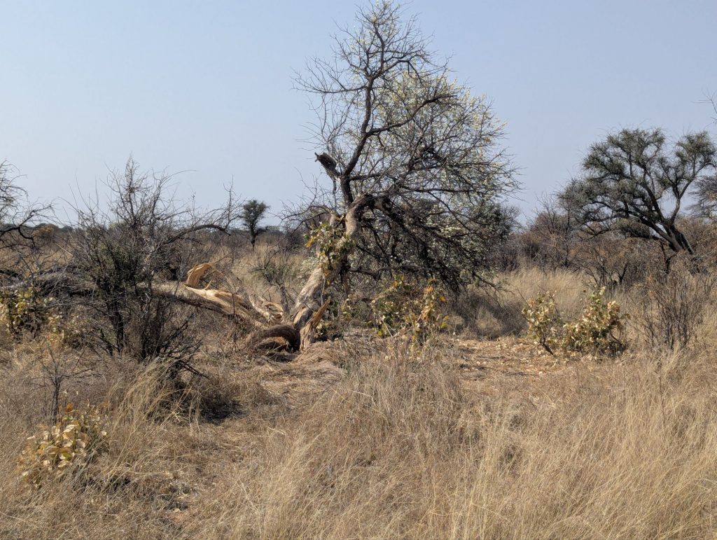
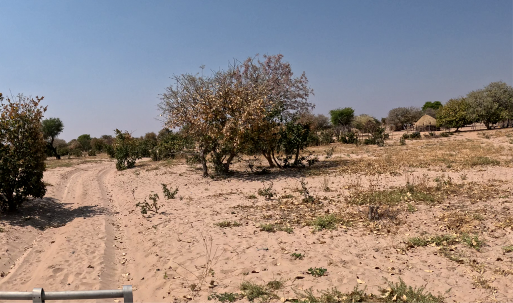
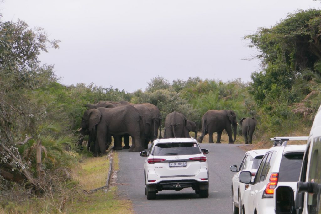
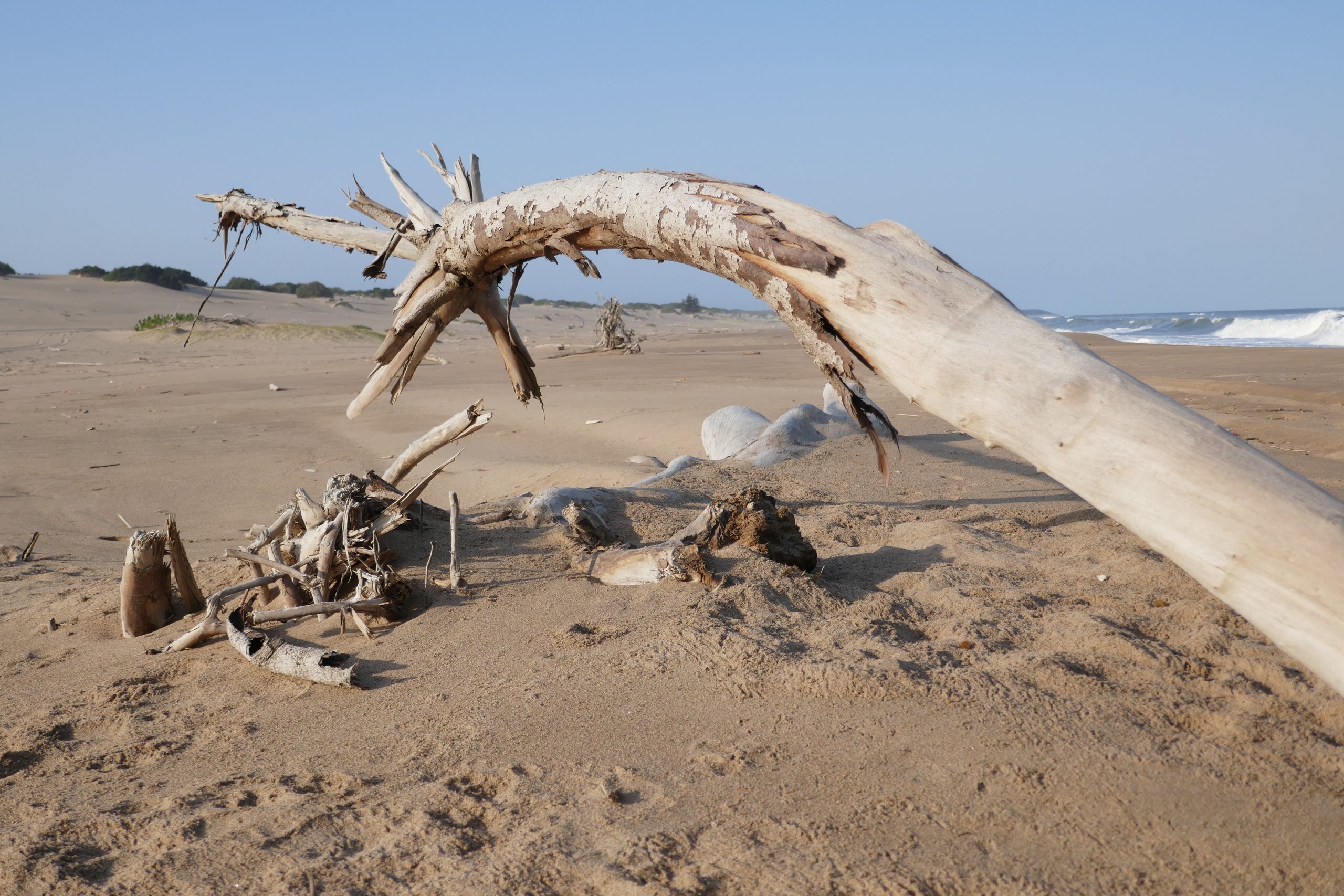
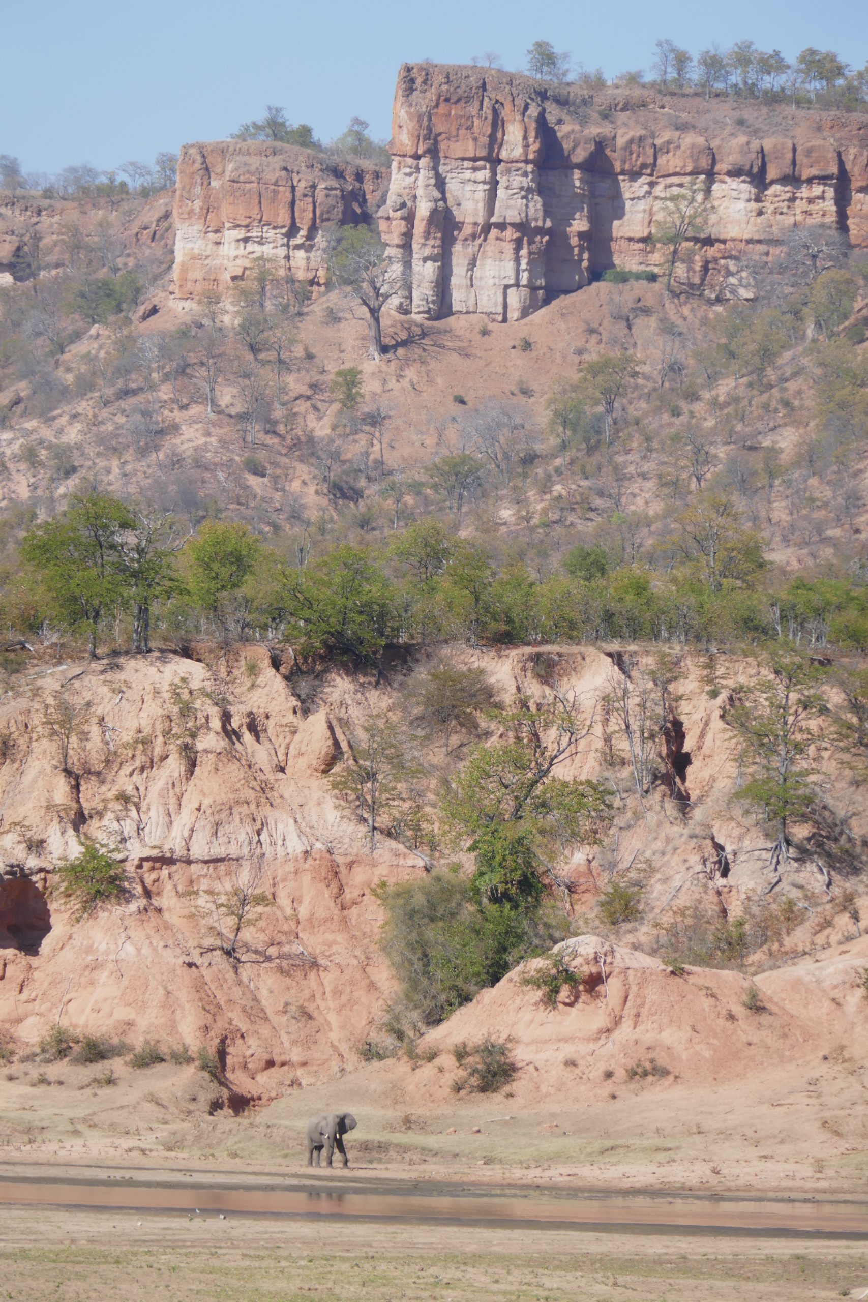
I went through a section where elephants had pushed over trees, and generally caused mayhem.

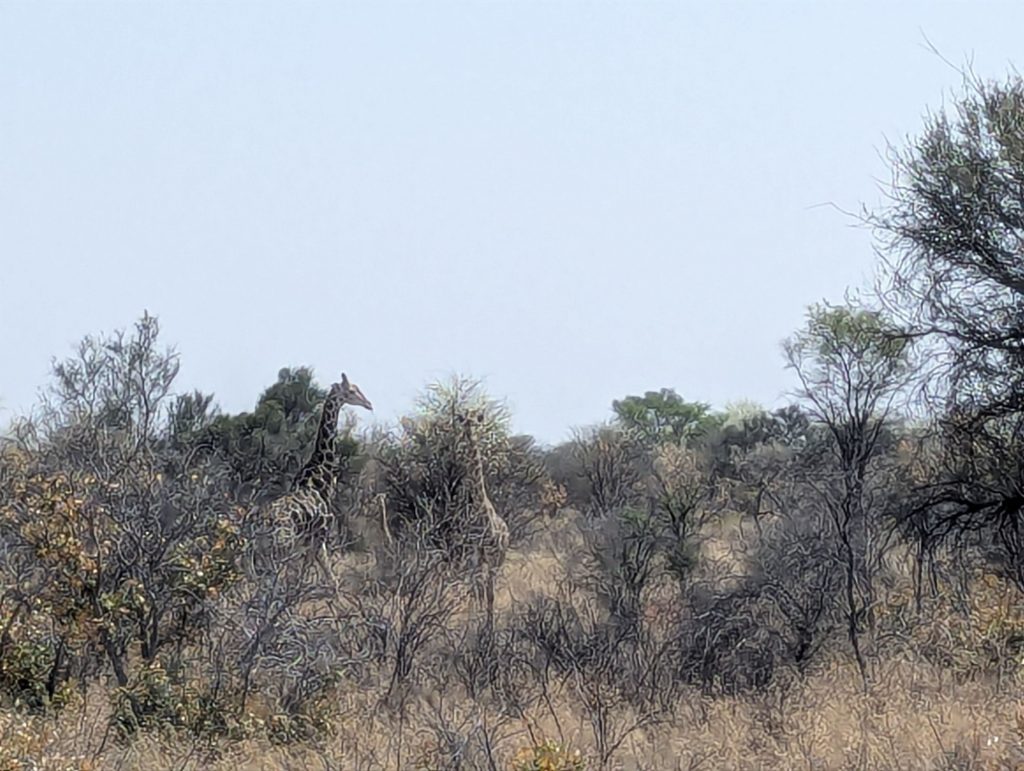
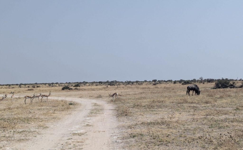
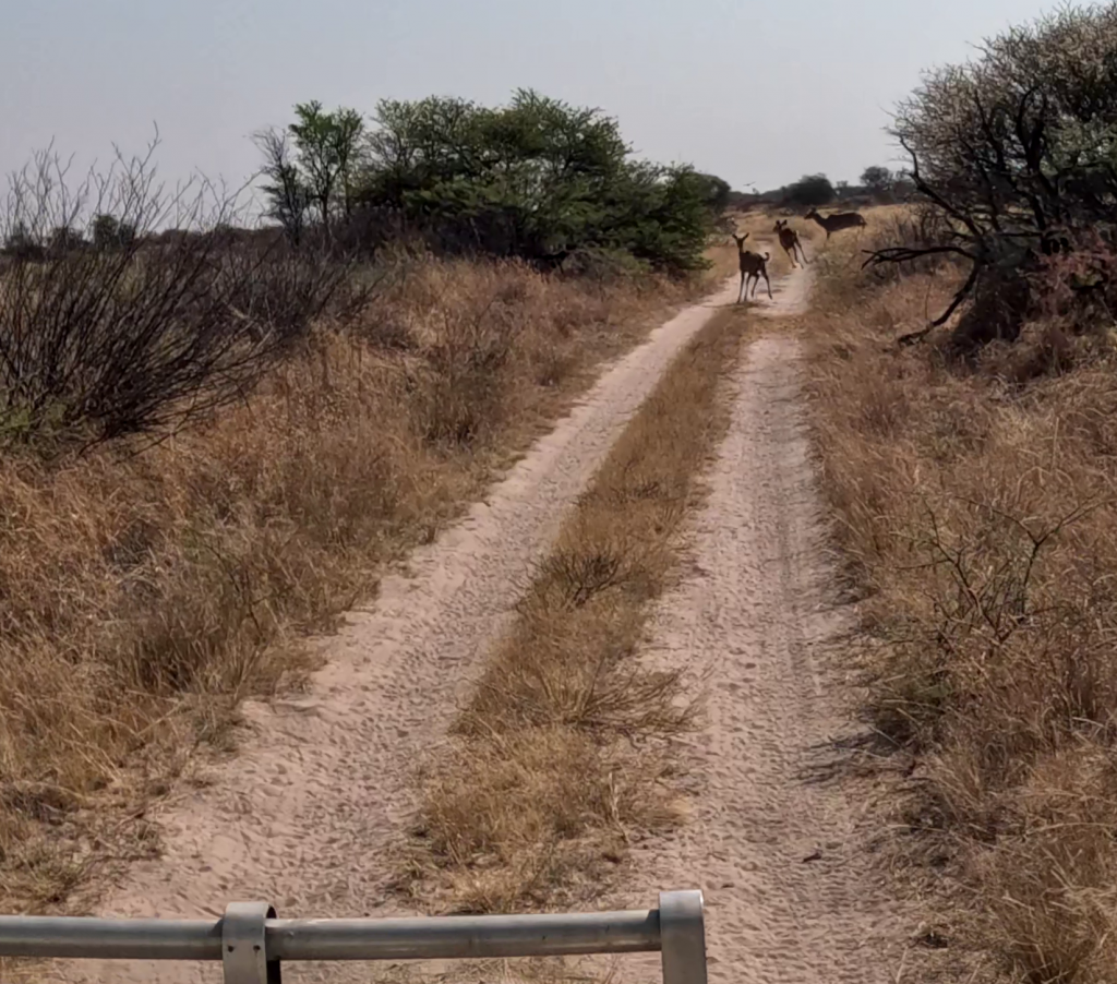
I stopped for a stretch on the track at one time just randomly and in front were Elephant tracks, and at the back I thought there were lion tracks. I was making good time, I spent a lot of time in third gear meaning I was doing 20km and hour or more. 80km in I saw some giraffes on the road ahead. I crept up, and could see two adult giraffes and one baby. They got off the road, but they were happy to watch me while I watched them. I left them to it, with one of the Giraffe I could hear but not see ripping things of trees.

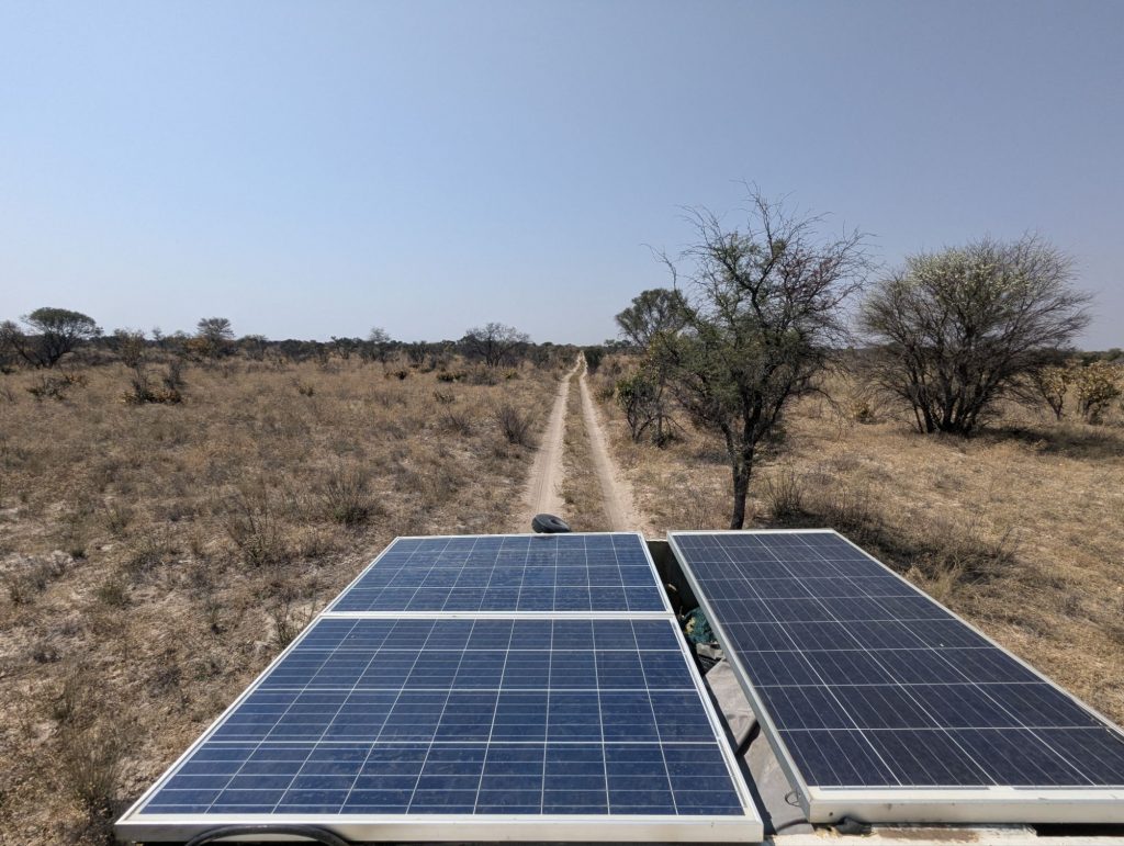
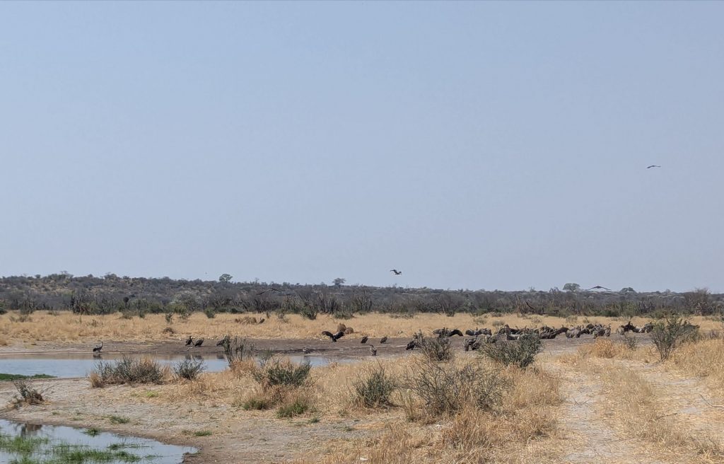
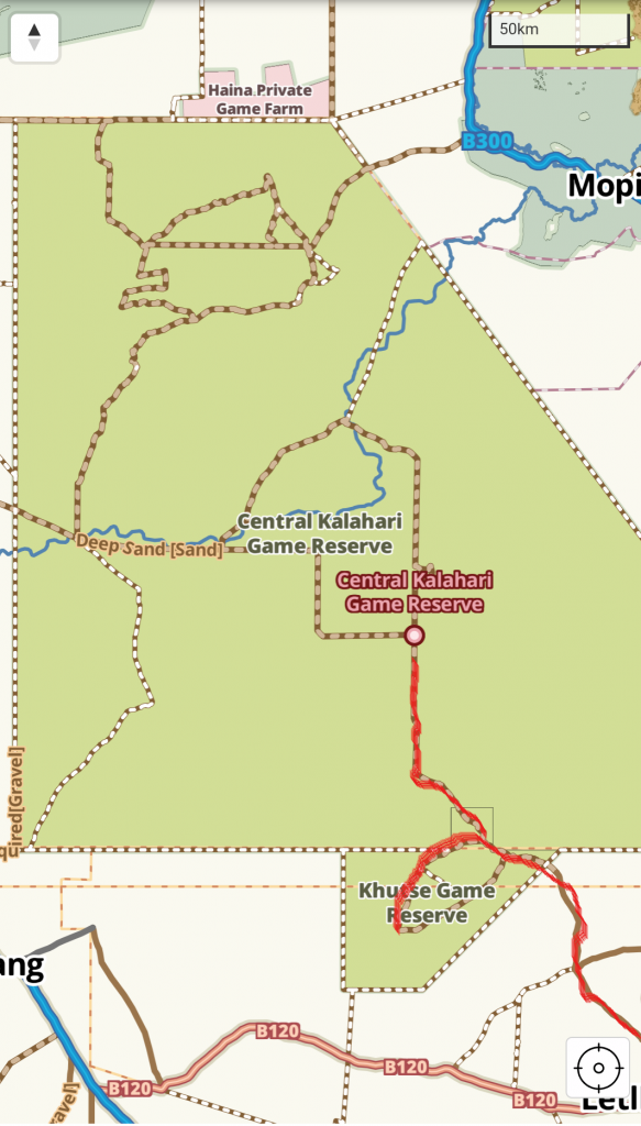
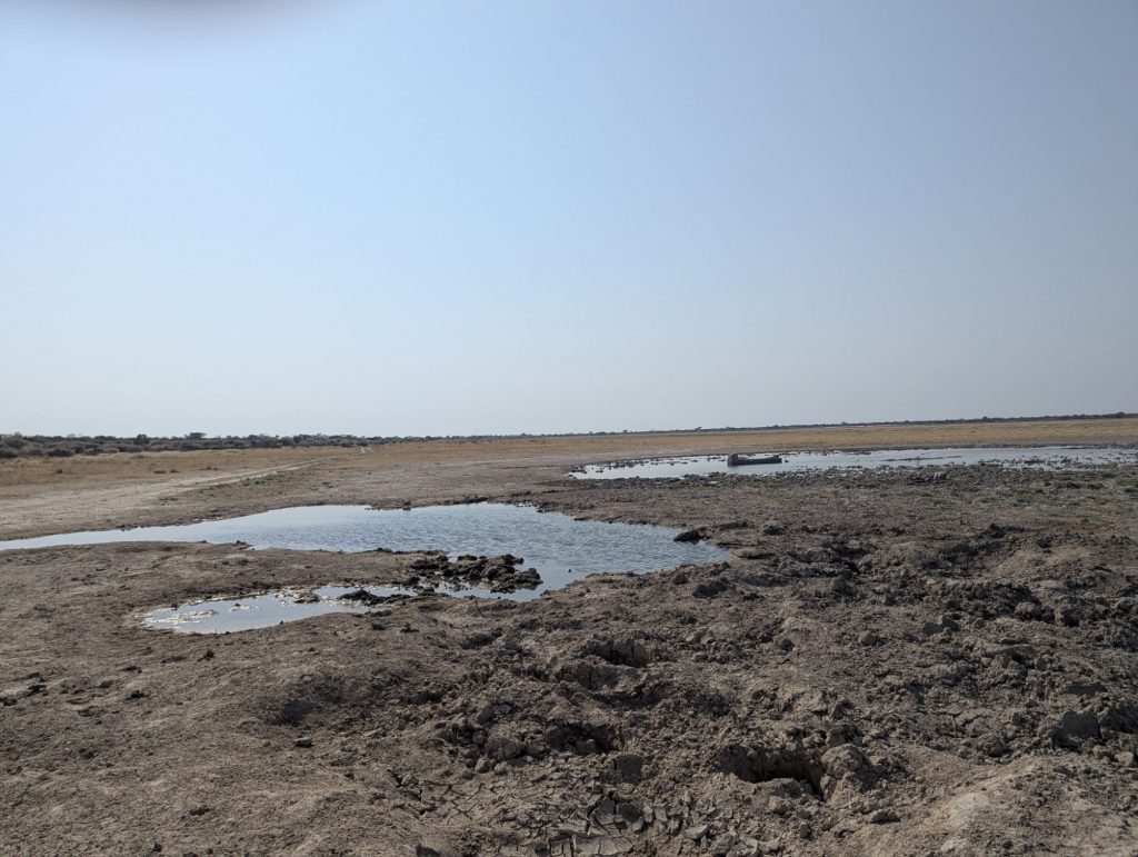
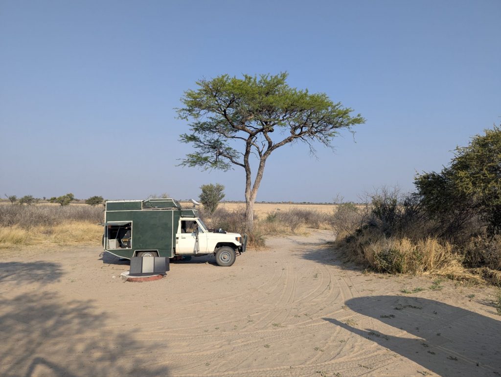
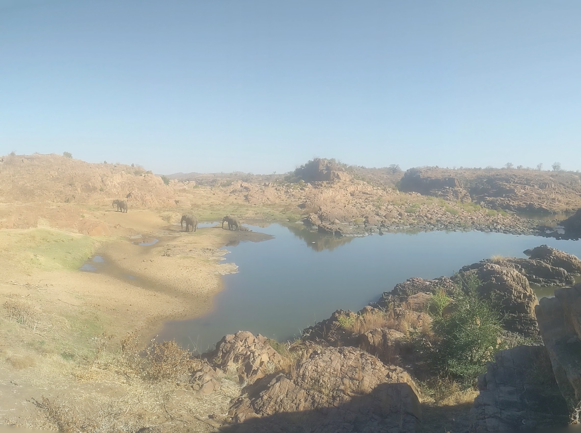
I turned over the road to Xade up to XaXa (which on the park map is called XaKa, but tracks4Africa has XaXa). I went to the solar powered waterhole that was full of vultures, and another flocking bird that I couldn’t identify. The vultures were riding the thermals all over the place. I drove up the sand dunes to the campsite that looks down on the plains.

Fresh Elephant footprints
Lion footprints?
Trees pushed over by elephants
Stopped on the track for a stretch. There is nowhere to pull off
Giraffe
Looking back down the track
Looking forward up the track
Another detour around a fallen tree
Vultures at the XaXa waterhole
One broken side mirror
Vultures circling in the thermals

Khankhwe Pan to Bape camp CKGR

Well I am deep in the Kalahari now. It is 72km from Khankhwe to Bape. I have not seen another vehicle now for two days, however I have gone through two villages much to my surprise.

I left Khankhwe about 9:30am. I am going to have to leave much earlier tomorrow morning. I have 123km to drive tomorrow, and the sand is much easier to drive on in the cool of the morning. The whole route is fairly sandy. I stopped part way and lowered my front tyre pressure even lower.

The first thing I encountered was a burnt out and rusting 4WD. I wonder what happened there.

17km out of Khankhwe suddenly there was a young girl running to me from the scrub. I stopped to talk to her, and within a couple of minutes her Mum and several siblings had turned up. There was a village about 1km away, and they were just out looking for animals. The girl really wanted my Bluetooth speaker that was sitting on the dash. She knew the brand name as well. I did point out she needed a phone to provide the music for the speaker, let alone a solar panel to charge it, none of which she had. She just wanted to dance to music, teenagers the same everywhere, even in the middle of nowhere. This village Kukumane had 50 people in it. No cell phones,  internet or anything like that. No vehicles, they got their supplies by donkey cart that I guess would have been a two day drive away. They were a friendly lot, I took their picture and continued up to the village. I talked to a guy in the village. I didn’t totally understand but I think these were San people who didn’t want to relocate. They were living the nomadic herder lifestyle of their ancestors.

It was hot and slow driving in the sand. A lot of the time I was only doing 15kmh, if I was lucky in a stretch I got up to 25kmh.

The road started to deviate from the track4Africa map, and I found myself in another village. Within a minute or so I had a dozen people outside my window. They were friendly, told me how to rejoin the road, and I was on my way.

Another 20km or so and I arrived and Bape campsite. This campsite is just a clearing, no drop toilet or anything. It is wilderness.

Burnt out 4WD
The friendly locals of Kukumane
Driving into Kukumane
A burnt out area of the CKGR that the rangers at Khutse warned me about.
Another surprise village, name unknown
Camped at Bape
The trip so far through the Kalahari in red

Moreswe Pan to Khankhwe Pan

Another cool morning, about 12C, but by the middle of the day it’s 32C. Real Desert weather. I saw some ostriches on the pan but not much else. I wonder if the diesel powered pump for the waterhole is too erratic for the animals to trust it.

I packed up and got going by 9:30am. It was a 60km drive to Khankhwe, at about 25kmh. I stopped at the Moreswe waterhole, but there was nothing there, not even birds. I headed north passing Elephant droppings on the track quite often, but didn’t see any elephants. I saw a few antelopes along the way, and stopped in a Molose waterhole to see a group of antelope and a sole Cape Buffalo. I saw some other campers at Molose, and stopped to talk to a ranger who was headed south. About 1pm I arrived at Khankhwe Pan. This is the last stop before crossing the CKGR. It is 72km to Bape campsite. Later in the afternoon I jacked up the rear wheel so I could rotate the tailshaft, and I greased the tailshaft.

Moreswe waterhole
Near Molose waterhole
Another Hornbill
Camped at Khankhwe

Kameel South Africa to south of Khakhea Botswana

I woke up to a slightly colder morning in Kameel. Not as cold as icy Joberg, but cooler than the night before. I got packed up and ready to go by 8:30am. Its 200km to Bray border crossing and its only open until 4pm in the afternoon. Its also not a very good road, so I don’t have a lot of time to play with. I have previously got to Bray at 3pm.

I drove up to the NWK co-op to get some diesel, and buy some contact adhesive so I can fix some more things. After driving back to Patrick at Kameel B&B because I had forgotten to give him the toilet key, I was on my way. I stopped at Stella briefly. Then headed out on the R377 towards Bray. The only village of any size is Piet Plessis and there is not much there.

I got to Bray about 2:30pm. It was an easy crossing, with the single Policeman writing down rego details and an engine number. Then it was over to Botswana. Botswana is such an easy country to enter and leave. I paid 390 pula road tax (about $A40) and got my passport stamped and I was on the way. I wanted to get a Mascom Sim card at the local general store, but they were closed because it was saturday afternoon.

I headed along the road to Werda, which I know from expeience is a terrible corrugated road. I turned north about 2km along to take a much smaller track that headed north to Khakhea. I saw a antelope (Kudu?) pretty early on. Then later a baboon sitting on a fence post. Donkeys, cattle and more antelopes. Then at the cut-line I was intending to camp on I found a broken down couple of utes (bakkies). They had a flat tyre and needed a tubeless tyre repair kit. Amongst the heaps of stuff I carry I had exactly the right thing. I dug out the repair kit, and they quickly fixed their tyre, and were on their way.

I turned left down the cut-line about a km and turned off into the scrub just before sunset and made camp.

The early part of the road to Bray

the first sign mentioning Bray about 70km out

Border crossing success, stopped under a tree in Bray Botswana (its 30C)

Tablet running tracks 4 Africa, USB fan (no aircon) and garmin GPS

Donkeys on the road

A Donkey cart by the side of the road

The locals who had a flat tyre, that I helped with a tyre repair kit.

Sunset camped off the cut-line


Kameel

This is my third visit to Kameel in a bit over two years. Kameel means camel. It is a tiny town with more silos than people (49 silos with 27 residents). They grow maize locally, although this year more sunflower, because the rains came late in January. The trucks and tractors come past where I am camping throughout the day. When I visited last year, a local facility had been converted into a hatchery producing chicks. This is still going, diversifying the economy. This visit there are several workers staying who are installing solar farms locally. South Africa is so behind Australia in installing solar farms. The area is perfect with blue skies and lots of sun all winter. So that will be another good thing for the locality.

Its a nice campground. Its a B and B as well. Patrick delivers a fresh loaf of bread not long after you arrive, it is delicious. I was going to only stay two nights, but I am going to stay a third and do some more electric fixes to Clancy.

Star trails over the top of the nearby silos


Monks Cowl Drakensburg to Reitz to Johannesburg

We left Monks Cowl Sunday morning. After a great show at Falcon Ridge we got going late, at nearly noon, to make a campsite near Reitz, 240km away. We did most of it on the N3, but then turned off heading to Bassfeather Country Lodge near Reitz. With 3 different GPS’s giving us different routes, we settled on Google Maps, which ended up giving us a short but rough track to the campsite. Bassfeather was pretty well empty, but expensive (420 Rand). Next morning we headed off towards Joberg. We stopped at a 4wd drive place in BoksBurg to replace the solar panel that we lost a year ago with two smaller panels that will just fit to replace the larger one.

So a day of fixing and packing up in Joberg before we fly out to Singapore on Wednesday.

Drakensberg

We arrived at Injusuthi camp Monday afternoon, finding we were the only campers there. It is such a stunning location. The camp is at 1500m, while around the camp towers the Drakensberg mountains from 2000m to 3500m.

The campsite is plagued by Baboons, we have to be careful keeping everything closed up.

The next day on Tuesday, in great weather, about 28C and sunny, we spent the afternoon walking to Grindstone cave. It was only about 3.5km, but 350m of altitude gain. We were already at 1500m, so we found it hard, and gave up and turned back 2/3 of the way in.

On Wednesday we headed for Battle cave, about 6km away, and again 350m of altitude gain. The weather was good, sunny and warm. We headed along a river valley following the river on a track cut into the hillside above. We crossed the river, continued on the other side and then crossed at a confluence of two rivers. The rivers flow well, fed by creeks and waterfalls high up the hills. Eventually we got to Battle cave, and unlocked the gate with the key we got from reception. Some of the San paintings under the rock overhang were very detailed, with fine lines for things like spears.

We headed back to camp. We were trying to get back before a cool change came through the area.

Drakensberg
Walking to Grinders Cave
Walking the track to Battle cave
Battle Cave
Some of the cave art in Battle cave
Cave art Battle cave
Walking in Drakensberg
A weaver bird that took a liking to us
Sunset over the Drakensberg
Looking east
The cool change came clouding the hills

St Lucia to Glensheiling to Drakensberg.

Our St Lucia accomodation was one of two campsites behind a guesthouse. The only campsite in town had bad reviews, being run down and expensive. An overlander had come a few years ago to their guesthouse and camped out the back in their garden. That overlander left a review on the iOverlander app, and thus grew their little camping business.

St Lucia is a tourist town. The side streets are full of guesthouses, and the main street is restaurants, tour operators,  and shops catering to tourists.

The first day there we headed into iSimangaliso Park. We drove into side loops off the main road to Cape Vidal. The first loop went to a waterhole with maybe 10 hippos all out of the water because it was a cool overcast day. We headed down another loop, but it was eventually closed of by flooding. We drove down to Mission Beach, a rocky beach on the Indian Ocean.

Then along the main road was a traffic jam of cars because a herd of maybe 20 elephants were blocking the road.  We waited 30 minutes or so for the elephants to clear the road, so we could pass. We headed into another loop to see if we could follow the elephants, but they had disappeared onto scrub. This loop led to an unsigned posted lookout tower called Kawashelini. This was an interestingly designed lookout tower that was gradually falling apart as a result of lack of maintenance.

We then drove out of the loop to the main road, this time blocked by three white rhino, including a suckling baby rhino.

The next day we walked a 10km route around St Lucia including the boardwalk and the beach. The boardwalk is probably one of St Lucias biggest tourist attractions, a tour bus was there when we walked it. However the boardwalk is falling apart and needs maintenance.

Sunday we headed off south along the N2 to see how far we could get to the Drakensberg. We decided to go right into Durban, only to find some of the N3 was closed, and we were forced into a detour through suburban Durban. Durban is a dense city, way more dense than Joberg. Around 5pm we made it to Glensheiling caravan park for an overnight stay which was located in an area called the Midlands, an area full of food and art places.

The morning we headed into the strangely named town Nottingham Road. We got more supplies at the Spar supermarket, and then headed to Injusuthi campsite in the Drakensberg.

Hippos at a waterhole
The view from the Kawashelini lookout
Elephants blocking the Cape Vidal road
White Rhino blocking the Cape Vidal road
The very windy beach at St Lucia
Rough waves at St Lucia beach

Umlalazi Wildlife Park to St Lucia

Inkwazi campsite was a good place to be based for a few days. We did a few walks, along the beach, through the forest behind the dunes, and along the river. It was warm most days around 30C (until our last morning). It was always humid walking through the forest. We had a couple of Zebras wander in and out of camp over a few days. I rode into town a couple of times to the Spar supermarket to get supplies.

On the last evening a cool change came through, and it rained overnight. The next morning we drove the 120km north to St Lucia.

Zebras making themselves home

Dodging the Zebras

Walking through the forest on the dunes at Umlalazi Wildlife Park

The beach at Umlalazi Wildlife Park, the rollers coming in from the Indian Ocean

There are many many logs washed up on the beach

Chitove camp to Chivillia Camp to Rossi Pools, Gonarezhou National Park

Chitove camp was even better than Fishans camp. We were right next to the water. When we arrived, a couple of elephants left. We had crocodiles resting on the opposite bank. Baboons, Zebras, Elephants and more came down to the water, somewhere along the bank. There was pretty well something going on all day. After 3 nights at Chitove we headed about 60km  to Chivillia. Firstly we needed to cross the Runde at a causeway, which we did without it being much more than 30cm deep. We then stopped on the opposite bank to watch a couple of hundred Cape Buffalo head into the water to drink. We then headed to Chilojo cliffs picnic area. There we watched an Elephant wander across the Runde, eventually coming back to comprehensively scratch itself on a tree near us.

We continued on to Chivillia Camp which was a rocky downhill track. We were a bit disappointed with Chivillia, it was away from the water, and there were not a lot of animals. However the first night during dusk, Karen spotted a lion sitting about 100m away. It roared a few times then wandered off. We were pretty careful around camp the next two nights.

After 3 nights at Chivillia Camp we headed for the long drive south to Rossi Pools camp. Firstly we needed to detour to Chipinda Pools camps to get some extra water. Then it was the well built but steep winding descent to the Nkwangulatio causeway. The causeway was built in 2019, and was well done. We crossed it and continued south. We passed a couple of heavily armed rangers making patrols, then followed the electrified park fenceline  for tens of kilometres.  At 4:30pm and after a long day we arrived at Rossi Pools camp.

An elephant at Chilojo Cliffs

Cape Buffalo opposite our campsite at Chitove

Another huge Baboab protected from Elephants with rocks

Chilojo Cliffs from the picnic area

Occasionally we have some home made bread

the waterhole near Chivillia Camp

Chivillia Camp

Looking down on the elephants

Before crossing the causeway

Nkwangulatio causeway

Driving down the park fence line, don’t touch the electric fence!